
How to get from Primghar (airport) (Iowa) to Fort Dodge (Iowa)
Calculate route from Primghar (airport) (Iowa, United States) to Fort Dodge (Iowa, United States).
The flight distance (as the crow flies) between Primghar (airport) and Fort Dodge is 134.7 km.
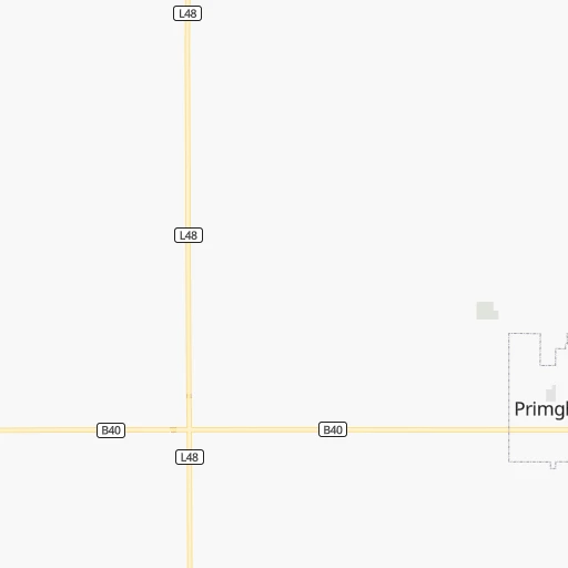
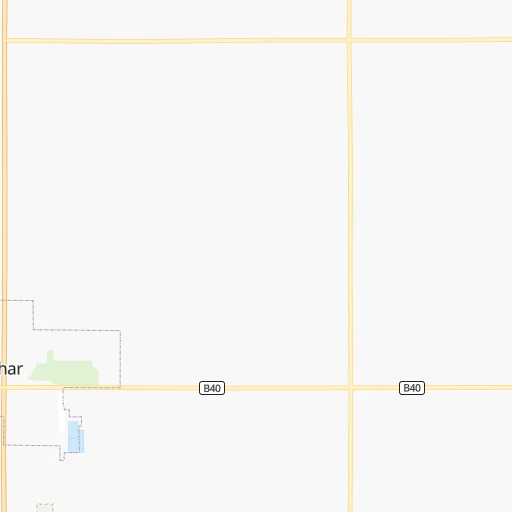
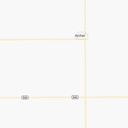
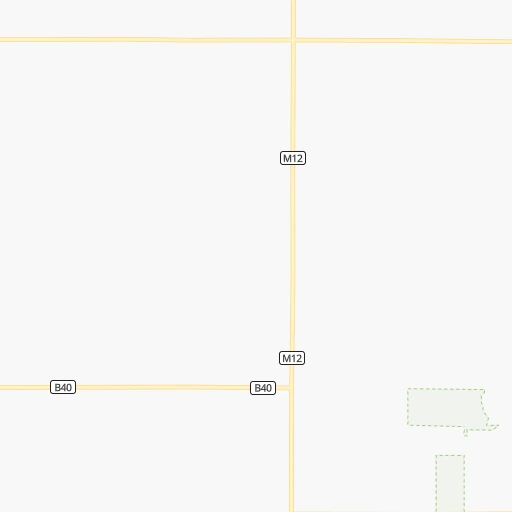
Roadmap (route) to go from Primghar Airport to Fort Dodge detailed above, you can also see the course layout on the map.
While doing trip Primghar (airport) - Fort Dodge by car, the calculated route ends at a distance , or more straight.
Distance and duration of the route between Primghar (airport) and Fort Dodge
Calculation of distance and route from Fort Dodge to Primghar (airport) :
134.7184.4 km2h17mn
Continue 0h0mn 125 mTurn left onto 390th Street 0h1mn 813 mTurn left onto South Rerick Avenue 0h15mn 19.1 kmTurn right onto Tanager Avenue 0h17mn 22.0 kmTurn left onto State Highway 3 0h3mn 4.3 kmTurn left onto 530th Street 0h4mn 5.4 kmKeep right 0h24mn 27.7 kmTurn left onto East Lakeshore Drive 0h3mn 2.9 kmKeep right 0h0mn 52 mTurn slight right onto 130th Avenue 0h13mn 17.8 kmTurn left and take US 20 East toward Fort Dodge 1h46mn 71.2 kmKeep right onto US 20 Business 0h1mn 596 mTurn sharp left onto US 20 Business 0h1mn 533 mKeep right 0h0mn 48 mTurn slight right onto 230th Street 0h10mn 11.4 kmTurn right onto South 21st Street 0h0mn 112 mTurn slight left onto 6th Avenue South 0h0mn 94 mContinue onto South 22nd Street 0h0mn 276 mTurn right onto 8th Avenue South 0h0mn 8 mArrive at destination 0h0mn 0 m
Travel from Primghar (airport) (Iowa) to a selection of major cities.
Distances from Primghar Airport to biggest cities in Iowa
- Ottumwa,24,624 inhabitants.350 km
- Muscatine,23,968 inhabitants.419 km
- Johnston,20,871 inhabitants.222 km
- Coralville,20,608 inhabitants.367 km
Other major cities in country :
- Charlotte [NC], 827,097 inhabitants. 1,543 km
- Seattle [WA], 684,451 inhabitants. 2,139 km
- Denver [CO], 682,545 inhabitants. 866 km
- El Paso [TX], 681,124 inhabitants. 1,582 km
- Detroit [MI], 677,116 inhabitants. 1,031 km
- Boston [MA], 667,137 inhabitants. 2,003 km
- Memphis [TN], 655,770 inhabitants. 1,005 km
- New South Memphis [TN], 641,608 inhabitants. 1,011 km
- Portland [OR], 632,309 inhabitants. 2,163 km
- Oklahoma City [OK], 631,346 inhabitants. 863 km
- Las Vegas [NV], 623,747 inhabitants. 1,836 km
- Baltimore [MD], 621,849 inhabitants. 1,643 km
- Washington, D.C. [DC], 601,723 inhabitants. 1,625 km
- Milwaukee [WI], 600,155 inhabitants. 627 km
- South Boston [MA], 571,281 inhabitants. 2,004 km
- Albuquerque [NM], 559,121 inhabitants. 1,303 km
- Tucson [AZ], 531,641 inhabitants. 1,807 km
- Nashville [TN], 530,852 inhabitants. 1,079 km
- Fresno [CA], 520,052 inhabitants. 2,171 km
- Sacramento [CA], 490,712 inhabitants. 2,227 km
Route from Fort Dodge to major cities (United States).
- Distance Fort Dodge New York City1,686 km
- Distance Fort Dodge Los Angeles2,294 km
- Distance Fort Dodge Chicago542 km
- Distance Fort Dodge Brooklyn1,692 km
- Distance Fort Dodge Houston1,422 km
- Distance Fort Dodge Queens1,701 km
- Distance Fort Dodge Philadelphia1,613 km
- Distance Fort Dodge Phoenix1,861 km
- Distance Fort Dodge Manhattan1,687 km
- Distance Fort Dodge San Antonio1,506 km
- Distance Fort Dodge San Diego2,291 km
- Distance Fort Dodge The Bronx1,694 km
- Distance Fort Dodge Dallas1,106 km
- Distance Fort Dodge San Jose2,424 km
- Distance Fort Dodge Austin1,398 km
- Distance Fort Dodge Jacksonville1,754 km
- Distance Fort Dodge San Francisco2,449 km
- Distance Fort Dodge Columbus976 km
- Distance Fort Dodge Fort Worth1,123 km
- Distance Fort Dodge Indianapolis737 km
Nearest cities to Primghar (airport) :
- Omaha, 443,885 inhabitants. 205 km
- Minneapolis, 410,939 inhabitants. 283 km
- Saint Paul, 285,068 inhabitants. 289 km
- Lincoln, 277,348 inhabitants. 269 km
- Des Moines, 210,330 inhabitants. 233 km
- Sioux Falls, 171,544 inhabitants. 102 km
- Bloomington, 86,435 inhabitants. 270 km
- Sioux City, 82,821 inhabitants. 91 km
- Brooklyn Park, 79,149 inhabitants. 288 km
- Plymouth, 75,907 inhabitants. 275 km
- Maple Grove, 68,385 inhabitants. 281 km
- Woodbury, 67,855 inhabitants. 295 km
- Eagan, 66,286 inhabitants. 274 km
- Saint Cloud, 65,842 inhabitants. 299 km
- Ames, 65,060 inhabitants. 201 km
- West Des Moines, 64,113 inhabitants. 229 km
- Eden Prairie, 63,496 inhabitants. 261 km
- Council Bluffs, 62,597 inhabitants. 204 km
- West Coon Rapids, 62,528 inhabitants. 294 km
- Coon Rapids, 62,240 inhabitants. 293 km
- Blaine, 62,124 inhabitants. 299 km
- Burnsville, 61,481 inhabitants. 265 km
- Lakeville, 60,633 inhabitants. 258 km
- Ankeny, 56,764 inhabitants. 223 km
- Bellevue, 55,510 inhabitants. 218 km
- Minnetonka, 51,669 inhabitants. 265 km
- Grand Island, 51,440 inhabitants. 330 km
- Apple Valley, 51,221 inhabitants. 266 km
- Edina, 50,138 inhabitants. 271 km
- Minnetonka Mills, 50,117 inhabitants. 270 km
- Saint Louis Park, 45,250 inhabitants. 276 km
- Urbandale, 44,062 inhabitants. 225 km
- Mankato, 41,044 inhabitants. 176 km
- Maplewood, 40,567 inhabitants. 295 km
- Shakopee, 39,981 inhabitants. 254 km
- Richfield, 36,216 inhabitants. 274 km
- Cottage Grove, 35,918 inhabitants. 289 km
- Roseville, 35,580 inhabitants. 291 km
- Inver Grove Heights, 34,857 inhabitants. 285 km
- Andover, 32,213 inhabitants. 303 km
- Brooklyn Center, 30,770 inhabitants. 287 km
- Savage, 30,391 inhabitants. 263 km
- Aberdeen, 28,102 inhabitants. 350 km
- Oakdale, 28,080 inhabitants. 298 km
- Fridley, 27,713 inhabitants. 292 km
- Marshalltown, 27,620 inhabitants. 250 km
- Mason City, 27,366 inhabitants. 196 km
- Shoreview, 26,477 inhabitants. 297 km
- Fremont, 26,474 inhabitants. 198 km
- Ramsey, 25,828 inhabitants. 298 km
Location Primghar (airport) (Iowa) :
| Country flag |  |
| Location | Primghar (airport) |
| State | Iowa |
| County | O'Brien County |
| Country | United States |
| Country code / ISO 2 | US |
| Latitude | 43.0833700 |
| Longitude | -95.6139900 |
| Altitude | 451 meters |
| Time zone | America/Chicago |
Location Fort Dodge (Iowa) :
| Country flag | |
| Location | Fort Dodge |
| State | Iowa |
| County | Webster County |
| Country | United States |
| Country code / ISO 2 | US |
| Latitude | 42.4974700 |
| Longitude | -94.1680200 |
| Altitude | 340 meters |
| Time zone | America/Chicago |


