
How to get from Moulton (airport) (Iowa) to Saint Joseph (Missouri)
Calculate route from Moulton (airport) (Iowa, United States) to Saint Joseph (Missouri, United States).
The flight distance (as the crow flies) between Moulton (airport) and Saint Joseph is 208.5 km.
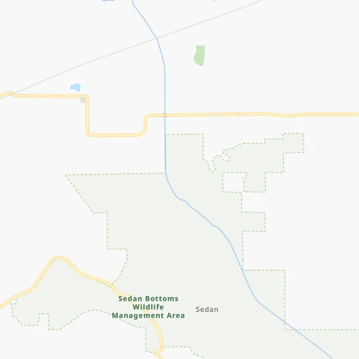
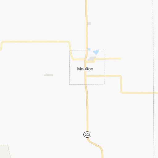
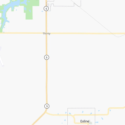
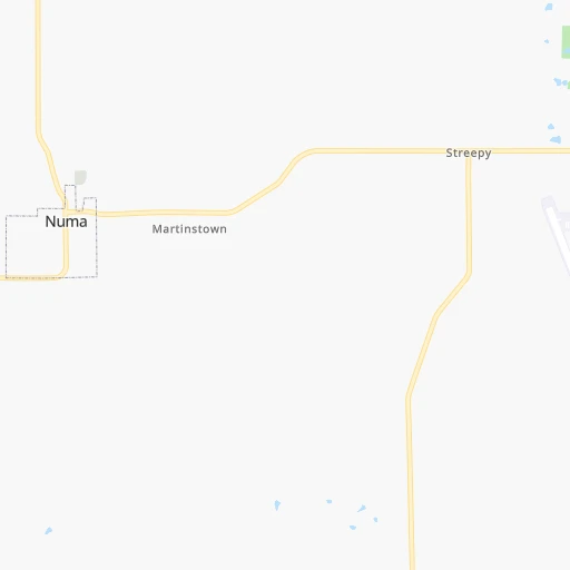
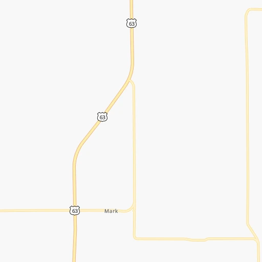
Roadmap (route) to go from Moulton Airport to Saint Joseph detailed above, you can also see the course layout on the map.
While doing trip Moulton (airport) - Saint Joseph by car, the calculated route ends at a distance , or more straight.
Distance and duration of the route between Moulton (airport) and Saint Joseph
Calculation of distance and route from Saint Joseph to Moulton (airport) :
208.5269.5 km4h35mn
Continue onto 567th Street 0h2mn 826 mTurn right onto State Highway 202 0h13mn 14.3 kmTurn right onto State Highway F 0h11mn 8.9 kmTurn right onto US 136 1h15mn 82.8 kmKeep right 0h0mn 35 mTurn slight right onto US 65, US 136 0h0mn 500 mTurn slight left onto Grant Street 1h40mn 44.2 kmTurn left 1h36mn 60.9 kmKeep right and take US 36, I 35 Business toward Cameron, Hamilton 0h0mn 346 mTurn right onto US 36 1h36mn 54.5 kmKeep right toward I 29 Business 0h2mn 2.2 kmTurn right onto Frederick Avenue 0h0mn 115 mKeep right onto Walter Welsh Avenue 0h0mn 42 mArrive at destination 0h0mn 0 m
Travel from Moulton (airport) (Missouri) to a selection of major cities.
Distances from Moulton Airport to biggest cities in Iowa
- Ottumwa,24,624 inhabitants.46 km
- Muscatine,23,968 inhabitants.162 km
- Johnston,20,871 inhabitants.141 km
- Coralville,20,608 inhabitants.146 km
Other major cities in country :
- Charlotte [NC], 827,097 inhabitants. 1,201 km
- Seattle [WA], 684,451 inhabitants. 2,474 km
- Denver [CO], 682,545 inhabitants. 1,050 km
- El Paso [TX], 681,124 inhabitants. 1,584 km
- Detroit [MI], 677,116 inhabitants. 824 km
- Boston [MA], 667,137 inhabitants. 1,808 km
- Memphis [TN], 655,770 inhabitants. 656 km
- New South Memphis [TN], 641,608 inhabitants. 662 km
- Portland [OR], 632,309 inhabitants. 2,482 km
- Oklahoma City [OK], 631,346 inhabitants. 716 km
- Las Vegas [NV], 623,747 inhabitants. 2,015 km
- Baltimore [MD], 621,849 inhabitants. 1,378 km
- Washington, D.C. [DC], 601,723 inhabitants. 1,351 km
- Milwaukee [WI], 600,155 inhabitants. 476 km
- South Boston [MA], 571,281 inhabitants. 1,809 km
- Albuquerque [NM], 559,121 inhabitants. 1,373 km
- Tucson [AZ], 531,641 inhabitants. 1,879 km
- Nashville [TN], 530,852 inhabitants. 718 km
- Fresno [CA], 520,052 inhabitants. 2,383 km
- Sacramento [CA], 490,712 inhabitants. 2,470 km
Route from Saint Joseph to major cities (United States).
- Distance Saint Joseph New York City1,770 km
- Distance Saint Joseph Los Angeles2,170 km
- Distance Saint Joseph Chicago649 km
- Distance Saint Joseph Brooklyn1,775 km
- Distance Saint Joseph Houston1,115 km
- Distance Saint Joseph Queens1,784 km
- Distance Saint Joseph Philadelphia1,679 km
- Distance Saint Joseph Phoenix1,689 km
- Distance Saint Joseph Manhattan1,773 km
- Distance Saint Joseph San Antonio1,199 km
- Distance Saint Joseph San Diego2,145 km
- Distance Saint Joseph The Bronx1,781 km
- Distance Saint Joseph Dallas797 km
- Distance Saint Joseph San Jose2,361 km
- Distance Saint Joseph Austin1,090 km
- Distance Saint Joseph Jacksonville1,593 km
- Distance Saint Joseph San Francisco2,394 km
- Distance Saint Joseph Columbus1,012 km
- Distance Saint Joseph Fort Worth815 km
- Distance Saint Joseph Indianapolis743 km
Nearest cities to Moulton (airport) :
- Kansas City, 475,378 inhabitants. 238 km
- St. Louis, 315,685 inhabitants. 311 km
- Des Moines, 210,330 inhabitants. 130 km
- Overland Park, 186,515 inhabitants. 253 km
- Kansas City, 151,306 inhabitants. 239 km
- Olathe, 134,305 inhabitants. 270 km
- Cedar Rapids, 130,405 inhabitants. 173 km
- Topeka, 127,265 inhabitants. 313 km
- Columbia, 119,108 inhabitants. 193 km
- Independence, 117,255 inhabitants. 229 km
- East Independence, 110,675 inhabitants. 225 km
- Davenport, 102,582 inhabitants. 201 km
- Lee's Summit, 95,094 inhabitants. 243 km
- Lawrence, 93,917 inhabitants. 288 km
- O'Fallon, 85,040 inhabitants. 267 km
- Saint Joseph, 76,780 inhabitants. 209 km
- Iowa City, 74,220 inhabitants. 147 km
- Waterloo, 68,460 inhabitants. 206 km
- Saint Charles, 65,794 inhabitants. 282 km
- Ames, 65,060 inhabitants. 172 km
- Shawnee, 65,046 inhabitants. 251 km
- West Des Moines, 64,113 inhabitants. 133 km
- Dubuque, 58,799 inhabitants. 265 km
- Ankeny, 56,764 inhabitants. 142 km
- Blue Springs, 54,148 inhabitants. 228 km
- Saint Peters, 52,575 inhabitants. 272 km
- Lenexa, 52,490 inhabitants. 259 km
- Florissant, 52,268 inhabitants. 291 km
- Chesterfield, 47,864 inhabitants. 287 km
- Urbandale, 44,062 inhabitants. 138 km
- Jefferson City, 43,169 inhabitants. 236 km
- Moline, 42,681 inhabitants. 205 km
- Belleville, 42,034 inhabitants. 333 km
- Cedar Falls, 41,255 inhabitants. 209 km
- Quincy, 40,780 inhabitants. 135 km
- Rock Island, 38,620 inhabitants. 200 km
- Marion, 37,330 inhabitants. 178 km
- Oakville, 36,143 inhabitants. 318 km
- Leavenworth, 35,980 inhabitants. 243 km
- Wildwood, 35,899 inhabitants. 289 km
- Wentzville, 35,603 inhabitants. 259 km
- Bettendorf, 35,505 inhabitants. 206 km
- University City, 35,058 inhabitants. 302 km
- Leawood, 34,579 inhabitants. 251 km
- Galesburg, 31,273 inhabitants. 198 km
- Ballwin, 30,577 inhabitants. 294 km
- Liberty, 30,450 inhabitants. 216 km
- Raytown, 29,401 inhabitants. 239 km
- Upper Alton, 29,251 inhabitants. 292 km
- Granite City, 29,054 inhabitants. 308 km
Location Moulton (airport) (Iowa) :
| Country flag |  |
| Location | Moulton (airport) |
| State | Iowa |
| County | Appanoose County |
| Country | United States |
| Country code / ISO 2 | US |
| Latitude | 40.6628000 |
| Longitude | -92.6857500 |
| Altitude | 303 meters |
| Time zone | America/Chicago |
Location Saint Joseph (Missouri) :
| Country flag | |
| Location | Saint Joseph |
| State | Missouri |
| County | Buchanan County |
| Country | United States |
| Country code / ISO 2 | US |
| Latitude | 39.7686100 |
| Longitude | -94.8466300 |
| Altitude | 270 meters |
| Time zone | America/Chicago |


