
How to get from Kohlhaas (airport) (Iowa) to Muscatine (Iowa)
Calculate route from Kohlhaas (airport) (Iowa, United States) to Muscatine (Iowa, United States).
The flight distance (as the crow flies) between Kohlhaas (airport) and Muscatine is 308.3 km.
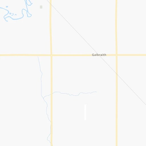
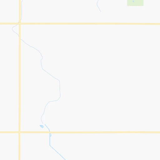
Roadmap (route) to go from Kohlhaas Airport to Muscatine detailed above, you can also see the course layout on the map.
While doing trip Kohlhaas (airport) - Muscatine by car, the calculated route ends at a distance , or more straight.
Distance and duration of the route between Kohlhaas (airport) and Muscatine
Calculation of distance and route from Muscatine to Kohlhaas (airport) :
308.3383.7 km5h57mn
Continue onto 150th Avenue 0h1mn 263 mTurn left onto 130th Street 0h3mn 1.6 kmTurn right onto 160th Avenue 0h6mn 4.8 kmTurn left onto 100th Street 0h8mn 8.1 kmTurn right onto Utah Avenue 0h8mn 8.2 kmTurn left onto 150th Street 0h5mn 5.0 kmTurn right onto County Highway P76 (Xenia) 0h2mn 1.8 kmTurn right onto York Avenue 0h8mn 9.1 kmTurn left onto 210th Street 0h5mn 4.6 kmTurn right onto North Main Street 0h1mn 521 mTurn left onto 220th Street 0h22mn 26.2 kmTurn right onto 210th Street 1h9mn 90.3 kmTurn right 0h16mn 25.4 kmKeep right and take US 218 south toward Waterloo 0h1mn 591 mKeep left onto Leo P Rooff Expressway 0h1mn 1.7 kmKeep right and take Broadway Street toward Airport 0h15mn 18.3 kmKeep right 0h0mn 60 mTurn slight right onto South 3rd Street 0h1mn 1.8 kmTurn sharp left 0h1mn 1.6 kmKeep right onto Avenue of the Saints and take I 380 South, IA 27 South toward Cedar Rapids 1h9mn 113.6 kmKeep right 0h1mn 607 mTurn sharp left onto Highway 1 West 0h25mn 30.4 kmTurn left onto East A Street 0h9mn 9.7 kmContinue onto State Highway 22 0h16mn 17.3 kmAt roundabout, take exit 2 onto Cedar Street 0h2mn 2.1 kmTurn left onto East 5th Street 0h0mn 109 mTurn right onto Walnut Street 0h0mn 172 mArrive at destination 0h0mn 0 m
Travel from Kohlhaas (airport) (Iowa) to a selection of major cities.
Distances from Kohlhaas Airport to biggest cities in Iowa
- Ottumwa,24,624 inhabitants.260 km
- Muscatine,23,968 inhabitants.309 km
- Johnston,20,871 inhabitants.148 km
- Coralville,20,608 inhabitants.256 km
Other major cities in country :
- Charlotte [NC], 827,097 inhabitants. 1,434 km
- Seattle [WA], 684,451 inhabitants. 2,253 km
- Denver [CO], 682,545 inhabitants. 971 km
- El Paso [TX], 681,124 inhabitants. 1,652 km
- Detroit [MI], 677,116 inhabitants. 913 km
- Boston [MA], 667,137 inhabitants. 1,887 km
- Memphis [TN], 655,770 inhabitants. 939 km
- New South Memphis [TN], 641,608 inhabitants. 945 km
- Portland [OR], 632,309 inhabitants. 2,279 km
- Oklahoma City [OK], 631,346 inhabitants. 882 km
- Las Vegas [NV], 623,747 inhabitants. 1,945 km
- Baltimore [MD], 621,849 inhabitants. 1,524 km
- Washington, D.C. [DC], 601,723 inhabitants. 1,507 km
- Milwaukee [WI], 600,155 inhabitants. 510 km
- South Boston [MA], 571,281 inhabitants. 1,888 km
- Albuquerque [NM], 559,121 inhabitants. 1,388 km
- Tucson [AZ], 531,641 inhabitants. 1,894 km
- Nashville [TN], 530,852 inhabitants. 985 km
- Fresno [CA], 520,052 inhabitants. 2,284 km
- Sacramento [CA], 490,712 inhabitants. 2,344 km
Route from Muscatine to major cities (United States).
- Distance Muscatine New York City1,430 km
- Distance Muscatine Los Angeles2,519 km
- Distance Muscatine Chicago286 km
- Distance Muscatine Brooklyn1,436 km
- Distance Muscatine Houston1,355 km
- Distance Muscatine Queens1,444 km
- Distance Muscatine Philadelphia1,348 km
- Distance Muscatine Phoenix2,053 km
- Distance Muscatine Manhattan1,432 km
- Distance Muscatine San Antonio1,496 km
- Distance Muscatine San Diego2,502 km
- Distance Muscatine The Bronx1,439 km
- Distance Muscatine Dallas1,089 km
- Distance Muscatine San Jose2,679 km
- Distance Muscatine Austin1,380 km
- Distance Muscatine Jacksonville1,495 km
- Distance Muscatine San Francisco2,707 km
- Distance Muscatine Columbus698 km
- Distance Muscatine Fort Worth1,117 km
- Distance Muscatine Indianapolis452 km
Nearest cities to Kohlhaas (airport) :
- Omaha, 443,885 inhabitants. 239 km
- Minneapolis, 410,939 inhabitants. 237 km
- Saint Paul, 285,068 inhabitants. 238 km
- Lincoln, 277,348 inhabitants. 317 km
- Des Moines, 210,330 inhabitants. 158 km
- Sioux Falls, 171,544 inhabitants. 216 km
- Cedar Rapids, 130,405 inhabitants. 232 km
- Rochester, 112,225 inhabitants. 181 km
- Bloomington, 86,435 inhabitants. 221 km
- Sioux City, 82,821 inhabitants. 189 km
- Brooklyn Park, 79,149 inhabitants. 247 km
- Plymouth, 75,907 inhabitants. 236 km
- Iowa City, 74,220 inhabitants. 260 km
- Waterloo, 68,460 inhabitants. 158 km
- Maple Grove, 68,385 inhabitants. 243 km
- Woodbury, 67,855 inhabitants. 240 km
- Eau Claire, 67,778 inhabitants. 298 km
- Eagan, 66,286 inhabitants. 221 km
- Saint Cloud, 65,842 inhabitants. 290 km
- Ames, 65,060 inhabitants. 112 km
- West Des Moines, 64,113 inhabitants. 158 km
- Eden Prairie, 63,496 inhabitants. 219 km
- Council Bluffs, 62,597 inhabitants. 235 km
- West Coon Rapids, 62,528 inhabitants. 254 km
- Coon Rapids, 62,240 inhabitants. 251 km
- Blaine, 62,124 inhabitants. 257 km
- Burnsville, 61,481 inhabitants. 214 km
- Lakeville, 60,633 inhabitants. 203 km
- Ankeny, 56,764 inhabitants. 144 km
- Bellevue, 55,510 inhabitants. 247 km
- La Crosse, 52,306 inhabitants. 255 km
- Minnetonka, 51,669 inhabitants. 225 km
- Apple Valley, 51,221 inhabitants. 212 km
- North La Crosse, 50,470 inhabitants. 256 km
- Edina, 50,138 inhabitants. 225 km
- Minnetonka Mills, 50,117 inhabitants. 229 km
- Saint Louis Park, 45,250 inhabitants. 232 km
- Urbandale, 44,062 inhabitants. 152 km
- Cedar Falls, 41,255 inhabitants. 149 km
- Mankato, 41,044 inhabitants. 135 km
- Maplewood, 40,567 inhabitants. 242 km
- Shakopee, 39,981 inhabitants. 212 km
- Marion, 37,330 inhabitants. 234 km
- Richfield, 36,216 inhabitants. 226 km
- Cottage Grove, 35,918 inhabitants. 231 km
- Roseville, 35,580 inhabitants. 242 km
- Inver Grove Heights, 34,857 inhabitants. 229 km
- Andover, 32,213 inhabitants. 263 km
- Brooklyn Center, 30,770 inhabitants. 246 km
- Savage, 30,391 inhabitants. 214 km
Location Kohlhaas (airport) (Iowa) :
| Country flag |  |
| Location | Kohlhaas (airport) |
| State | Iowa |
| County | Kossuth County |
| Country | United States |
| Country code / ISO 2 | US |
| Latitude | 42.9538600 |
| Longitude | -94.1677400 |
| Altitude | 352 meters |
| Time zone | America/Chicago |
Location Muscatine (Iowa) :
| Country flag | |
| Location | Muscatine |
| State | Iowa |
| County | Muscatine County |
| Country | United States |
| Country code / ISO 2 | US |
| Latitude | 41.4244700 |
| Longitude | -91.0432100 |
| Altitude | 177 meters |
| Time zone | America/Chicago |


