
How to get from Elkader (airport) (Iowa) to Marshalltown (Iowa)
Calculate route from Elkader (airport) (Iowa, United States) to Marshalltown (Iowa, United States).
The flight distance (as the crow flies) between Elkader (airport) and Marshalltown is 153.2 km.
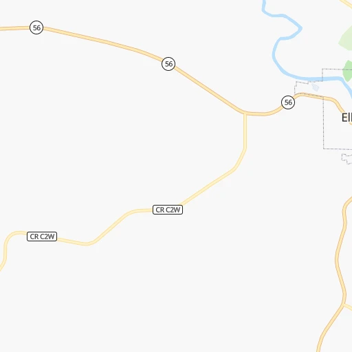
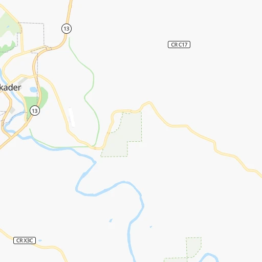
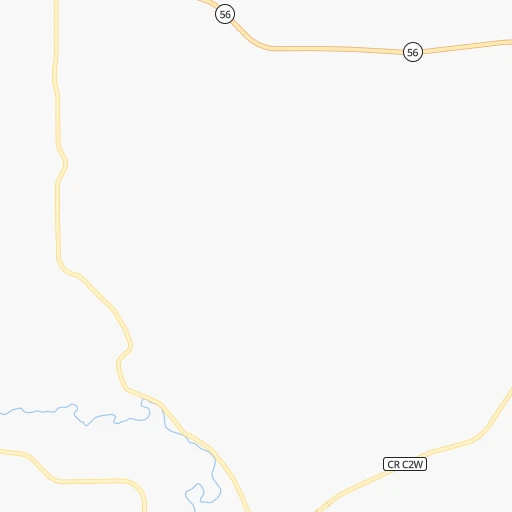
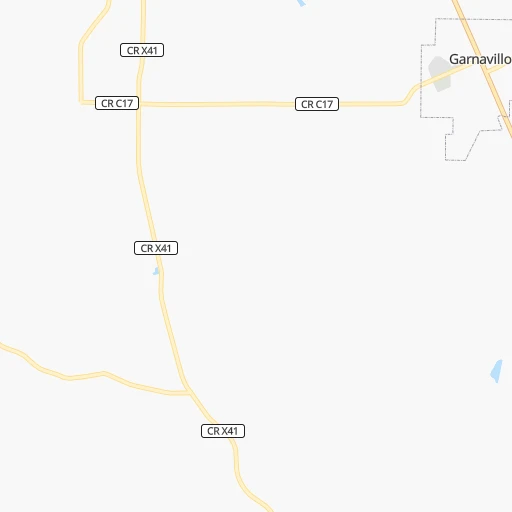
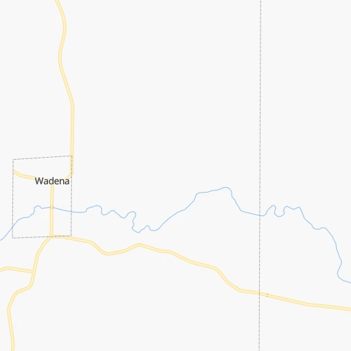
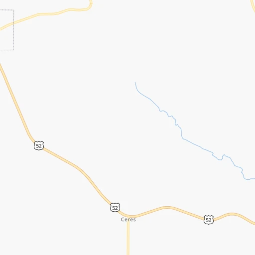
Roadmap (route) to go from Elkader Airport to Marshalltown detailed above, you can also see the course layout on the map.
While doing trip Elkader (airport) - Marshalltown by car, the calculated route ends at a distance , or more straight.
Distance and duration of the route between Elkader (airport) and Marshalltown
Calculation of distance and route from Marshalltown to Elkader (airport) :
153.2210.0 km3h33mn
Continue 0h1mn 224 mTurn right onto Grape Road 0h3mn 1.4 kmTurn left onto State Highway 13 0h19mn 24.4 kmTurn right onto West Mission Street 0h7mn 9.2 kmAt roundabout, take exit 3 onto C Avenue 0h19mn 24.8 kmTurn right 1h35mn 54.8 kmKeep left onto Avenue of the Saints 0h24mn 37.6 kmKeep right and take IA 14 toward Parkersburg, Grundy Center 0h1mn 691 mTurn left onto N Avenue 0h5mn 7.3 kmTurn right onto 210th Street 0h1mn 1.6 kmTurn sharp left onto County Road T37 0h3mn 4.1 kmTurn right onto 240th Street 0h9mn 10.1 kmTurn left onto Sanford Avenue 0h26mn 33.9 kmArrive at destination 0h0mn 0 m
Travel from Elkader (airport) (Iowa) to a selection of major cities.
Distances from Elkader Airport to biggest cities in Iowa
- Ottumwa,24,624 inhabitants.220 km
- Muscatine,23,968 inhabitants.161 km
- Johnston,20,871 inhabitants.231 km
- Coralville,20,608 inhabitants.131 km
Other major cities in country :
- Charlotte [NC], 827,097 inhabitants. 1,243 km
- Seattle [WA], 684,451 inhabitants. 2,466 km
- Denver [CO], 682,545 inhabitants. 1,188 km
- El Paso [TX], 681,124 inhabitants. 1,815 km
- Detroit [MI], 677,116 inhabitants. 685 km
- Boston [MA], 667,137 inhabitants. 1,662 km
- Memphis [TN], 655,770 inhabitants. 864 km
- New South Memphis [TN], 641,608 inhabitants. 871 km
- Portland [OR], 632,309 inhabitants. 2,500 km
- Oklahoma City [OK], 631,346 inhabitants. 977 km
- Las Vegas [NV], 623,747 inhabitants. 2,162 km
- Baltimore [MD], 621,849 inhabitants. 1,299 km
- Washington, D.C. [DC], 601,723 inhabitants. 1,283 km
- Milwaukee [WI], 600,155 inhabitants. 284 km
- South Boston [MA], 571,281 inhabitants. 1,663 km
- Albuquerque [NM], 559,121 inhabitants. 1,575 km
- Tucson [AZ], 531,641 inhabitants. 2,083 km
- Nashville [TN], 530,852 inhabitants. 842 km
- Fresno [CA], 520,052 inhabitants. 2,508 km
- Sacramento [CA], 490,712 inhabitants. 2,570 km
Route from Marshalltown to major cities (United States).
- Distance Marshalltown New York City1,583 km
- Distance Marshalltown Los Angeles2,381 km
- Distance Marshalltown Chicago436 km
- Distance Marshalltown Brooklyn1,589 km
- Distance Marshalltown Houston1,385 km
- Distance Marshalltown Queens1,597 km
- Distance Marshalltown Philadelphia1,506 km
- Distance Marshalltown Phoenix1,933 km
- Distance Marshalltown Manhattan1,584 km
- Distance Marshalltown San Antonio1,492 km
- Distance Marshalltown San Diego2,373 km
- Distance Marshalltown The Bronx1,591 km
- Distance Marshalltown Dallas1,087 km
- Distance Marshalltown San Jose2,525 km
- Distance Marshalltown Austin1,381 km
- Distance Marshalltown Jacksonville1,647 km
- Distance Marshalltown San Francisco2,551 km
- Distance Marshalltown Columbus864 km
- Distance Marshalltown Fort Worth1,108 km
- Distance Marshalltown Indianapolis622 km
Nearest cities to Elkader (airport) :
- Minneapolis, 410,939 inhabitants. 281 km
- Saint Paul, 285,068 inhabitants. 271 km
- Madison, 248,951 inhabitants. 163 km
- Des Moines, 210,330 inhabitants. 230 km
- Rockford, 148,278 inhabitants. 198 km
- Cedar Rapids, 130,405 inhabitants. 96 km
- Peoria, 115,070 inhabitants. 282 km
- North Peoria, 113,004 inhabitants. 280 km
- Rochester, 112,225 inhabitants. 158 km
- Davenport, 102,582 inhabitants. 162 km
- Bloomington, 86,435 inhabitants. 270 km
- Brooklyn Park, 79,149 inhabitants. 296 km
- Bloomington, 78,292 inhabitants. 330 km
- Plymouth, 75,907 inhabitants. 293 km
- Iowa City, 74,220 inhabitants. 132 km
- Appleton, 74,139 inhabitants. 287 km
- Waterloo, 68,460 inhabitants. 88 km
- Maple Grove, 68,385 inhabitants. 298 km
- Woodbury, 67,855 inhabitants. 264 km
- Eau Claire, 67,778 inhabitants. 219 km
- Oshkosh, 66,555 inhabitants. 264 km
- Eagan, 66,286 inhabitants. 261 km
- Saint Cloud, 65,842 inhabitants. 375 km
- Ames, 65,060 inhabitants. 205 km
- Janesville, 64,123 inhabitants. 194 km
- West Des Moines, 64,113 inhabitants. 238 km
- Eden Prairie, 63,496 inhabitants. 279 km
- West Coon Rapids, 62,528 inhabitants. 302 km
- Coon Rapids, 62,240 inhabitants. 296 km
- Blaine, 62,124 inhabitants. 297 km
- Burnsville, 61,481 inhabitants. 263 km
- Lakeville, 60,633 inhabitants. 250 km
- Dubuque, 58,799 inhabitants. 70 km
- Ankeny, 56,764 inhabitants. 221 km
- Normal, 54,373 inhabitants. 327 km
- La Crosse, 52,306 inhabitants. 107 km
- Minnetonka, 51,669 inhabitants. 286 km
- Apple Valley, 51,221 inhabitants. 257 km
- North La Crosse, 50,470 inhabitants. 112 km
- Edina, 50,138 inhabitants. 277 km
- Minnetonka Mills, 50,117 inhabitants. 286 km
- Saint Louis Park, 45,250 inhabitants. 282 km
- Urbandale, 44,062 inhabitants. 235 km
- DeKalb, 43,211 inhabitants. 239 km
- Fond du Lac, 42,933 inhabitants. 260 km
- Moline, 42,681 inhabitants. 165 km
- Cedar Falls, 41,255 inhabitants. 94 km
- Mankato, 41,044 inhabitants. 258 km
- Quincy, 40,780 inhabitants. 324 km
- Maplewood, 40,567 inhabitants. 268 km
Location Elkader (airport) (Iowa) :
| Country flag |  |
| Location | Elkader (airport) |
| State | Iowa |
| County | Clayton County |
| Country | United States |
| Country code / ISO 2 | US |
| Latitude | 42.8461900 |
| Longitude | -91.3827500 |
| Altitude | 280 meters |
| Time zone | America/Chicago |
Location Marshalltown (Iowa) :
| Country flag | |
| Location | Marshalltown |
| State | Iowa |
| County | Marshall County |
| Country | United States |
| Country code / ISO 2 | US |
| Latitude | 42.0494300 |
| Longitude | -92.9079800 |
| Altitude | 287 meters |
| Time zone | America/Chicago |


