
How to get from Stantsiya Tenino (Jaroslavl) to Pereslavl’-Zalesskiy (Jaroslavl)
Calculate route from Stantsiya Tenino (Jaroslavl, Russia) to Pereslavl’-Zalesskiy (Jaroslavl, Russia).
The flight distance (as the crow flies) between Stantsiya Tenino and Pereslavl’-Zalesskiy is 118.6 km.
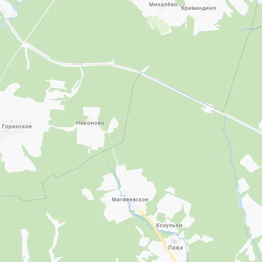
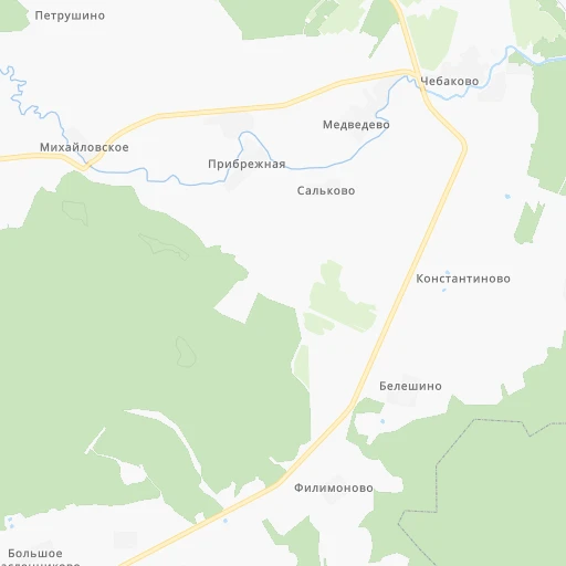
Roadmap (route) to go from Stantsiya Tenino to Pereslavl’-Zalesskiy detailed above, you can also see the course layout on the map.
While doing trip Stantsiya Tenino - Pereslavl’-Zalesskiy by car, the calculated route ends at a distance , or more straight.
Distance and duration of the route between Stantsiya Tenino and Pereslavl’-Zalesskiy
Calculation of distance and route from Pereslavl’-Zalesskiy to Stantsiya Tenino :
118.6136.5 km2h4mn
Continue 0h0mn 29 mTurn slight left onto 78Н-0926 0h1mn 309 mTurn left onto 78Н-0926 0h4mn 1.8 kmTurn slight right onto 78Н-0926 0h4mn 3.3 kmTurn left onto «Золотое кольцо» 0h4mn 4.3 kmTurn right onto Юго-Западная окружная дорога and drive toward Кострома, Москва 0h10mn 10.4 kmTurn right onto Московский проспект and drive toward Ростов, Переславль, Москва 1h4mn 73.5 kmContinue onto Советская улица 1h33mn 38.0 kmContinue onto 78К-0043 0h6mn 5.0 kmArrive at destination 0h0mn 0 m
Travel from Stantsiya Tenino (Jaroslavl) to a selection of major cities.
Distances from Stantsiya Tenino to biggest cities in Jaroslavl
Other major cities in country :
- Barnaul [04], 599,579 inhabitants. 2,767 km
- Vladivostok [59], 587,022 inhabitants. 6,206 km
- Irkutsk [20], 586,695 inhabitants. 4,008 km
- Khabarovsk [30], 579,000 inhabitants. 5,917 km
- Khabarovsk Vtoroy [30], 578,303 inhabitants. 5,923 km
- Orenburg [55], 550,204 inhabitants. 1,186 km
- Novokuznetsk [29], 539,616 inhabitants. 2,942 km
- Ryazan' [62], 520,173 inhabitants. 343 km
- Tyumen [78], 519,119 inhabitants. 1,540 km
- Lipetsk [43], 515,655 inhabitants. 568 km
- Penza [57], 512,602 inhabitants. 603 km
- Naberezhnyye Chelny [73], 509,870 inhabitants. 807 km
- Kalininskiy [42], 504,641 inhabitants. 592 km
- Astrakhan [07], 502,533 inhabitants. 1,385 km
- Makhachkala [17], 497,959 inhabitants. 1,729 km
- Tomsk [75], 485,519 inhabitants. 2,690 km
- Kemerovo [29], 477,090 inhabitants. 2,805 km
- Tula [76], 468,825 inhabitants. 412 km
- Kirov [33], 457,383 inhabitants. 593 km
- Cheboksary [16], 446,781 inhabitants. 492 km
Route from Pereslavl’-Zalesskiy to major cities (Russia).
- Distance Pereslavl’-Zalesskiy Moscow134 km
- Distance Pereslavl’-Zalesskiy Saint Petersburg612 km
- Distance Pereslavl’-Zalesskiy Novosibirsk2,710 km
- Distance Pereslavl’-Zalesskiy Yekaterinburg1,321 km
- Distance Pereslavl’-Zalesskiy Nizhniy Novgorod319 km
- Distance Pereslavl’-Zalesskiy Samara821 km
- Distance Pereslavl’-Zalesskiy Omsk2,142 km
- Distance Pereslavl’-Zalesskiy Kazan643 km
- Distance Pereslavl’-Zalesskiy Rostov-na-Donu1,060 km
- Distance Pereslavl’-Zalesskiy Chelyabinsk1,412 km
- Distance Pereslavl’-Zalesskiy Ufa1,092 km
- Distance Pereslavl’-Zalesskiy Volgograd970 km
- Distance Pereslavl’-Zalesskiy Perm1,050 km
- Distance Pereslavl’-Zalesskiy Krasnoyarsk3,243 km
- Distance Pereslavl’-Zalesskiy Saratov742 km
- Distance Pereslavl’-Zalesskiy Voronezh564 km
- Distance Pereslavl’-Zalesskiy Tol'yatti756 km
- Distance Pereslavl’-Zalesskiy Krasnodar1,302 km
- Distance Pereslavl’-Zalesskiy Ulyanovsk657 km
- Distance Pereslavl’-Zalesskiy Izhevsk873 km
Nearest cities to Stantsiya Tenino :
- Moscow, 10,381,222 inhabitants. 252 km
- Yaroslavl, 606,730 inhabitants. 14 km
- Ivanovo, 420,839 inhabitants. 110 km
- Cherepovets, 315,738 inhabitants. 190 km
- Vologda, 314,900 inhabitants. 169 km
- Vladimir, 310,024 inhabitants. 180 km
- Kostroma, 277,656 inhabitants. 74 km
- Mar'ino, 243,000 inhabitants. 259 km
- Khimki, 239,967 inhabitants. 244 km
- Rybinsk, 216,724 inhabitants. 63 km
- Vykhino-Zhulebino, 216,000 inhabitants. 251 km
- Zelenograd, 215,727 inhabitants. 245 km
- Severnyy, 200,000 inhabitants. 236 km
- Korolyov, 183,402 inhabitants. 230 km
- Yasenevo, 180,000 inhabitants. 269 km
- Podolsk, 179,400 inhabitants. 286 km
- Lyublino, 172,000 inhabitants. 255 km
- Mytishchi, 160,542 inhabitants. 233 km
- Bibirevo, 159,000 inhabitants. 240 km
- Khoroshevo-Mnevniki, 159,000 inhabitants. 253 km
- Gol'yanovo, 158,000 inhabitants. 239 km
- Lyubertsy, 154,650 inhabitants. 251 km
- Kovrov, 154,224 inhabitants. 180 km
- Strogino, 152,000 inhabitants. 252 km
- Balashikha, 150,103 inhabitants. 236 km
- Zhulebino, 150,000 inhabitants. 250 km
- Kolomna, 147,690 inhabitants. 298 km
- Elektrostal', 144,387 inhabitants. 227 km
- Orekhovo-Borisovo, 144,000 inhabitants. 262 km
- Biryulevo, 144,000 inhabitants. 266 km
- Kuz'minki, 143,000 inhabitants. 251 km
- Novyye Kuz'minki, 143,000 inhabitants. 253 km
- Chertanovo Yuzhnoye, 142,000 inhabitants. 268 km
- Zheleznodorozhnyy, 141,648 inhabitants. 241 km
- Korolev, 139,798 inhabitants. 230 km
- Odintsovo, 137,041 inhabitants. 270 km
- Ramenki, 130,000 inhabitants. 260 km
- Zyablikovo, 129,000 inhabitants. 261 km
- Serpukhov, 128,158 inhabitants. 341 km
- Ivanovskoye, 128,000 inhabitants. 244 km
- Orekhovo-Borisovo Severnoye, 128,000 inhabitants. 263 km
- Murom, 126,931 inhabitants. 278 km
- Tyoply Stan, 125,000 inhabitants. 268 km
- Tsaritsyno, 123,000 inhabitants. 263 km
- Presnenskiy, 122,000 inhabitants. 254 km
- Veshnyaki, 122,000 inhabitants. 249 km
- Zyuzino, 121,000 inhabitants. 263 km
- Orekhovo-Zuyevo, 120,000 inhabitants. 216 km
- Solntsevo, 120,000 inhabitants. 270 km
- Troparevo, 118,000 inhabitants. 265 km
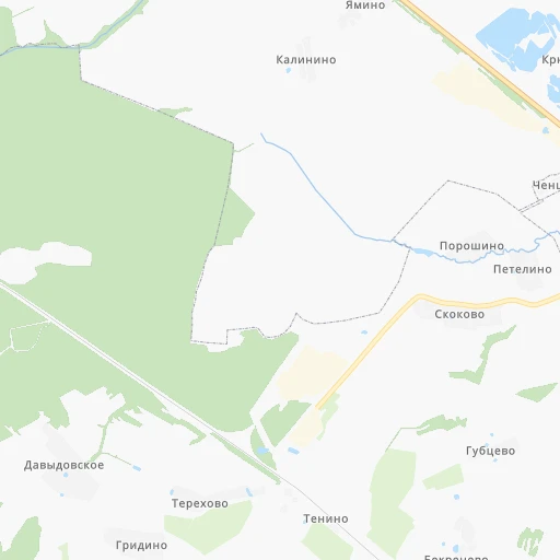
Location Stantsiya Tenino (Jaroslavl) :
| Country flag |  |
| Location | Stantsiya Tenino |
| State | Jaroslavl |
| County | |
| Country | Russia |
| Country code / ISO 2 | RU |
| Latitude | 57.7073000 |
| Longitude | 39.6887000 |
| Altitude | 0 meters |
| Time zone | Europe/Moscow |
Location Pereslavl’-Zalesskiy (Jaroslavl) :
| Country flag | |
| Location | Pereslavl’-Zalesskiy |
| State | Jaroslavl |
| County | |
| Country | Russia |
| Country code / ISO 2 | RU |
| Latitude | 56.7393400 |
| Longitude | 38.8562600 |
| Altitude | 0 meters |
| Time zone | Europe/Moscow |
