

How to get from Herold (airport) (West Virginia) to Concord (North Carolina)
Calculate route from Herold (airport) (West Virginia, United States) to Concord (North Carolina, United States).
The flight distance (as the crow flies) between Herold (airport) and Concord is 325.4 km.
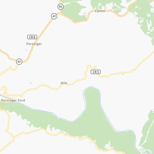
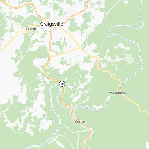
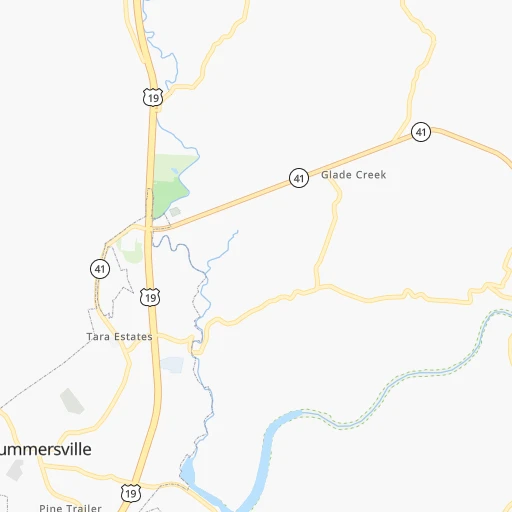
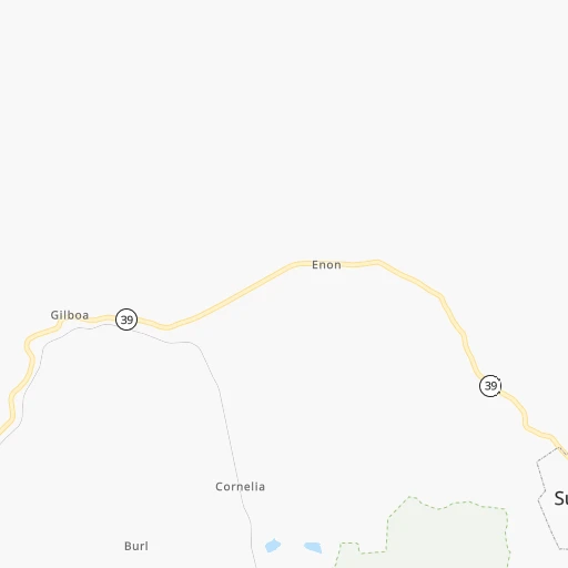
Roadmap (route) to go from Herold Airport to Concord detailed above, you can also see the course layout on the map.
While doing trip Herold (airport) - Concord by car, the calculated route ends at a distance , or more straight.
Distance and duration of the route between Herold (airport) and Concord
Calculation of distance and route from Concord to Herold (airport) :
325.4424.8 km5h44mn
Continue onto Oneida Drive 0h1mn 468 mTurn slight left onto Oneida Drive 0h0mn 93 mTurn right onto Herold Addition 0h0mn 128 mTurn sharp right onto Summersville & Slavins Cabin Road 0h18mn 19.5 kmTurn left onto US 19 1h35mn 51.6 kmKeep right toward WV 16 0h0mn 328 mKeep right 0h12mn 17.9 kmKeep left and take I 64 East, I 77 South toward Bluefield 0h7mn 11.4 kmKeep right onto West Virginia Turnpike and take I 77 South toward Bluefield 1h13mn 121.7 kmKeep right onto I 77 and take I 77 South toward Charlotte North Carolina 1h38mn 59.8 kmKeep right onto Charles M Shelton Highway and take I 77 South toward Statesville 1h58mn 95.2 kmKeep right and take US 21, NC 115 toward Troutman 0h0mn 306 mKeep right and drive toward Mooresville 0h6mn 6.8 kmKeep left onto Statesville Highway 0h2mn 2.2 kmTurn left onto Whitman Circle 0h0mn 29 mTurn right onto Mable Street 0h1mn 329 mContinue onto Goodwin Circle 0h0mn 204 mTurn left onto Goodwin Circle 0h1mn 257 mTurn left onto Oak Ridge Farm Highway 0h4mn 4.4 kmTurn right onto Landis Highway 0h7mn 8.5 kmKeep right onto Deal Road 0h0mn 40 mTurn right onto Deal Road 0h1mn 1.0 kmTurn left onto North Enochville Avenue 0h5mn 6.1 kmTurn left onto West C Street 0h4mn 4.0 kmTurn right onto Dale Earnhardt Boulevard 0h4mn 4.0 kmKeep right onto South Cannon Boulevard 0h4mn 4.5 kmKeep left onto Church Street North 0h4mn 3.6 kmTurn right onto Cabarrus Avenue West 0h0mn 303 mTurn left onto Spring Street Southwest 0h0mn 125 mArrive at destination 0h0mn 0 m
Travel from Herold (airport) (North Carolina) to a selection of major cities.
Distances from Herold Airport to biggest cities in West Virginia
Other major cities in country :
- Charlotte [NC], 827,097 inhabitants. 347 km
- Seattle [WA], 684,451 inhabitants. 3,501 km
- Denver [CO], 682,545 inhabitants. 2,103 km
- El Paso [TX], 681,124 inhabitants. 2,456 km
- Detroit [MI], 677,116 inhabitants. 489 km
- Boston [MA], 667,137 inhabitants. 928 km
- Memphis [TN], 655,770 inhabitants. 910 km
- New South Memphis [TN], 641,608 inhabitants. 913 km
- Portland [OR], 632,309 inhabitants. 3,529 km
- Oklahoma City [OK], 631,346 inhabitants. 1,532 km
- Las Vegas [NV], 623,747 inhabitants. 3,047 km
- Baltimore [MD], 621,849 inhabitants. 366 km
- Washington, D.C. [DC], 601,723 inhabitants. 321 km
- Milwaukee [WI], 600,155 inhabitants. 805 km
- South Boston [MA], 571,281 inhabitants. 928 km
- Albuquerque [NM], 559,121 inhabitants. 2,340 km
- Tucson [AZ], 531,641 inhabitants. 2,820 km
- Nashville [TN], 530,852 inhabitants. 594 km
- Fresno [CA], 520,052 inhabitants. 3,432 km
- Sacramento [CA], 490,712 inhabitants. 3,530 km
Route from Concord to major cities (United States).
- Distance Concord New York City825 km
- Distance Concord Los Angeles3,428 km
- Distance Concord Chicago944 km
- Distance Concord Brooklyn823 km
- Distance Concord Houston1,520 km
- Distance Concord Queens833 km
- Distance Concord Philadelphia695 km
- Distance Concord Phoenix2,888 km
- Distance Concord Manhattan832 km
- Distance Concord San Antonio1,807 km
- Distance Concord San Diego3,368 km
- Distance Concord The Bronx844 km
- Distance Concord Dallas1,522 km
- Distance Concord San Jose3,680 km
- Distance Concord Austin1,701 km
- Distance Concord Jacksonville574 km
- Distance Concord San Francisco3,718 km
- Distance Concord Columbus550 km
- Distance Concord Fort Worth1,570 km
- Distance Concord Indianapolis691 km
Nearest cities to Herold (airport) :
- Columbus, 850,106 inhabitants. 272 km
- Raleigh, 451,066 inhabitants. 337 km
- West Raleigh, 338,759 inhabitants. 334 km
- Pittsburgh, 304,391 inhabitants. 241 km
- Meads, 288,649 inhabitants. 180 km
- Ironville, 288,649 inhabitants. 178 km
- Greensboro, 285,342 inhabitants. 263 km
- Durham, 257,636 inhabitants. 304 km
- Winston-Salem, 241,218 inhabitants. 252 km
- Akron, 197,542 inhabitants. 314 km
- Cary, 159,769 inhabitants. 328 km
- High Point, 110,268 inhabitants. 271 km
- Roanoke, 99,897 inhabitants. 134 km
- Asheville, 88,512 inhabitants. 348 km
- Concord, 87,696 inhabitants. 326 km
- Lynchburg, 79,812 inhabitants. 168 km
- Canton, 71,885 inhabitants. 281 km
- Johnson City, 66,027 inhabitants. 271 km
- West Lynchburg, 65,517 inhabitants. 166 km
- Youngstown, 64,628 inhabitants. 308 km
- Chapel Hill, 59,568 inhabitants. 305 km
- Rocky Mount, 55,806 inhabitants. 368 km
- Kingsport, 53,014 inhabitants. 261 km
- Huntersville, 52,704 inhabitants. 326 km
- Harrisonburg, 52,538 inhabitants. 156 km
- Burlington, 52,472 inhabitants. 272 km
- Charleston, 49,736 inhabitants. 86 km
- Wilson, 49,643 inhabitants. 379 km
- Cuyahoga Falls, 49,146 inhabitants. 319 km
- Huntington, 48,638 inhabitants. 157 km
- Newark, 47,986 inhabitants. 244 km
- Mansfield, 46,830 inhabitants. 313 km
- Charlottesville, 46,597 inhabitants. 193 km
- Kannapolis, 46,144 inhabitants. 317 km
- Apex, 45,585 inhabitants. 331 km
- Altoona, 45,344 inhabitants. 311 km
- Dublin, 45,098 inhabitants. 289 km
- Strongsville, 44,668 inhabitants. 347 km
- Penn Hills, 44,610 inhabitants. 251 km
- Blacksburg, 44,215 inhabitants. 125 km
- State College, 42,161 inhabitants. 364 km
- Danville, 42,082 inhabitants. 224 km
- Findlay, 41,149 inhabitants. 396 km
- Hagerstown, 40,432 inhabitants. 292 km
- Hickory, 40,374 inhabitants. 296 km
- Warren, 40,245 inhabitants. 323 km
- Lancaster, 39,766 inhabitants. 228 km
- Grove City, 39,388 inhabitants. 272 km
- Westerville, 38,384 inhabitants. 280 km
- Wake Forest, 38,199 inhabitants. 324 km
Location Herold (airport) (West Virginia) :
| Country flag |  |
| Location | Herold (airport) |
| State | West Virginia |
| County | Nicholas County |
| Country | United States |
| Country code / ISO 2 | US |
| Latitude | 38.3363000 |
| Longitude | -80.6527800 |
| Altitude | 712 meters |
| Time zone | America/New_York |
Location Concord (North Carolina) :
| Country flag | |
| Location | Concord |
| State | North Carolina |
| County | Cabarrus County |
| Country | United States |
| Country code / ISO 2 | US |
| Latitude | 35.4088800 |
| Longitude | -80.5815800 |
| Altitude | 228 meters |
| Time zone | America/New_York |
