
How to get from Stantsiya Yalga (Mordoviya Republic) to Petrovsk (Saratovskaya Oblast)
Calculate route from Stantsiya Yalga (Mordoviya Republic, Russia) to Petrovsk (Saratovskaya Oblast, Russia).
The flight distance (as the crow flies) between Stantsiya Yalga and Petrovsk is 203.3 km.
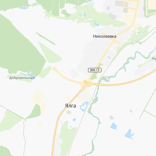
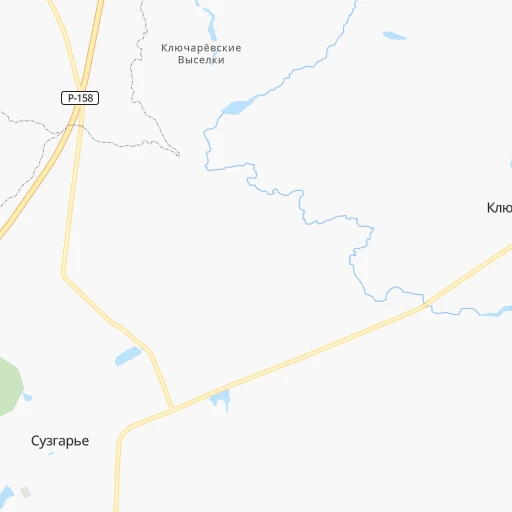
Roadmap (route) to go from Stantsiya Yalga to Petrovsk detailed above, you can also see the course layout on the map.
While doing trip Stantsiya Yalga - Petrovsk by car, the calculated route ends at a distance , or more straight.
Distance and duration of the route between Stantsiya Yalga and Petrovsk
Calculation of distance and route from Petrovsk to Stantsiya Yalga :
203.3239.6 km4h33mn
Continue 0h0mn 49 mContinue onto Комсомольская улица 0h1mn 472 mTurn left onto Пионерская улица 0h12mn 12.9 kmKeep right 0h1mn 1.6 kmAt roundabout, take exit 2 onto улица Карла Маркса 0h2mn 1.8 kmKeep right 0h0mn 63 mTurn slight right onto улица Ленина 0h2mn 1.2 kmTurn left onto Беднодемьяновская улица 0h3mn 2.2 kmKeep right 0h2mn 1.8 kmKeep left onto 89Н-09 0h0mn 42 mTurn left onto Р-158 3h60mn 210.0 kmTurn left onto 63К-00599 0h3mn 3.5 kmTurn right 0h3mn 2.4 kmTurn right 0h0mn 105 mTurn left 0h2mn 785 mTurn left onto улица Кирова 0h0mn 134 mTurn right onto улица Ломоносова 0h1mn 483 mTurn left onto Красноармейская улица 0h0mn 83 mTurn right 0h0mn 46 mTurn right 0h0mn 61 mArrive at destination 0h0mn 0 m
Travel from Stantsiya Yalga (Saratovskaya Oblast) to a selection of major cities.
Distances from Stantsiya Yalga to biggest cities in Mordoviya Republic
Other major cities in country :
- Yaroslavl [88], 606,730 inhabitants. 509 km
- Barnaul [04], 599,579 inhabitants. 2,512 km
- Vladivostok [59], 587,022 inhabitants. 6,087 km
- Irkutsk [20], 586,695 inhabitants. 3,832 km
- Khabarovsk [30], 579,000 inhabitants. 5,857 km
- Khabarovsk Vtoroy [30], 578,303 inhabitants. 5,863 km
- Orenburg [55], 550,204 inhabitants. 717 km
- Novokuznetsk [29], 539,616 inhabitants. 2,710 km
- Ryazan' [62], 520,173 inhabitants. 357 km
- Tyumen [78], 519,119 inhabitants. 1,319 km
- Lipetsk [43], 515,655 inhabitants. 407 km
- Penza [57], 512,602 inhabitants. 104 km
- Naberezhnyye Chelny [73], 509,870 inhabitants. 498 km
- Kalininskiy [42], 504,641 inhabitants. 1,102 km
- Astrakhan [07], 502,533 inhabitants. 890 km
- Makhachkala [17], 497,959 inhabitants. 1,254 km
- Tomsk [75], 485,519 inhabitants. 2,501 km
- Kemerovo [29], 477,090 inhabitants. 2,597 km
- Tula [76], 468,825 inhabitants. 490 km
- Kirov [33], 457,383 inhabitants. 570 km
Route from Petrovsk to major cities (Russia).
- Distance Petrovsk Moscow636 km
- Distance Petrovsk Saint Petersburg1,258 km
- Distance Petrovsk Novosibirsk2,464 km
- Distance Petrovsk Yekaterinburg1,101 km
- Distance Petrovsk Nizhniy Novgorod457 km
- Distance Petrovsk Samara336 km
- Distance Petrovsk Omsk1,857 km
- Distance Petrovsk Kazan458 km
- Distance Petrovsk Rostov-na-Donu696 km
- Distance Petrovsk Chelyabinsk1,100 km
- Distance Petrovsk Ufa750 km
- Distance Petrovsk Volgograd404 km
- Distance Petrovsk Perm936 km
- Distance Petrovsk Krasnoyarsk3,059 km
- Distance Petrovsk Voronezh431 km
- Distance Petrovsk Tol'yatti298 km
- Distance Petrovsk Krasnodar935 km
- Distance Petrovsk Ulyanovsk300 km
- Distance Petrovsk Izhevsk713 km
- Distance Petrovsk Yaroslavl689 km
Nearest cities to Stantsiya Yalga :
- Nizhniy Novgorod, 1,284,164 inhabitants. 255 km
- Saratov, 863,725 inhabitants. 294 km
- Penza, 512,602 inhabitants. 104 km
- Cheboksary, 446,781 inhabitants. 260 km
- Saransk, 303,394 inhabitants. 6 km
- Yoshkar-Ola, 279,100 inhabitants. 329 km
- Dzerzhinsk, 233,126 inhabitants. 258 km
- Balakovo, 199,572 inhabitants. 294 km
- Engel's, 196,011 inhabitants. 302 km
- Novocheboksarsk, 128,468 inhabitants. 266 km
- Arzamas, 109,479 inhabitants. 164 km
- Balashov, 98,107 inhabitants. 316 km
- Kuznetsk, 90,480 inhabitants. 148 km
- Sarov, 88,000 inhabitants. 148 km
- Vol'sk, 70,500 inhabitants. 276 km
- Kstovo, 67,242 inhabitants. 232 km
- Zarechnyy, 63,579 inhabitants. 103 km
- Pavlovo, 63,338 inhabitants. 243 km
- Novaya Balakhna, 63,083 inhabitants. 280 km
- Zarechnyy, 62,139 inhabitants. 146 km
- Vyksa, 61,664 inhabitants. 232 km
- Bor, 60,647 inhabitants. 257 km
- Kanash, 49,886 inhabitants. 215 km
- Ruzayevka, 49,311 inhabitants. 14 km
- Rtishchevo, 44,013 inhabitants. 227 km
- Zavolzh'ye, 42,900 inhabitants. 300 km
- Alatyr', 42,156 inhabitants. 122 km
- Vyazniki, 39,243 inhabitants. 302 km
- Kulebaki, 37,622 inhabitants. 220 km
- Bogorodsk, 36,652 inhabitants. 243 km
- Serdobsk, 36,652 inhabitants. 196 km
- Shumerlya, 35,220 inhabitants. 173 km
- Petrovsk, 33,622 inhabitants. 204 km
- Marks, 32,929 inhabitants. 290 km
- Privolzhskiy, 31,849 inhabitants. 309 km
- Gorodets, 31,788 inhabitants. 300 km
- Uvarovo, 28,771 inhabitants. 307 km
- Atkarsk, 27,554 inhabitants. 252 km
- Nikol'sk, 24,300 inhabitants. 76 km
- Semenov, 24,300 inhabitants. 299 km
- Nizhniy Lomov, 23,835 inhabitants. 117 km
- Lyskovo, 23,570 inhabitants. 212 km
- Koz'modem'yansk, 22,700 inhabitants. 262 km
- Sergach, 22,361 inhabitants. 157 km
- Kovylkino, 21,400 inhabitants. 81 km
- Inza, 19,737 inhabitants. 85 km
- Kalininsk, 18,685 inhabitants. 296 km
- Barysh, 18,547 inhabitants. 140 km
- Povorino, 18,004 inhabitants. 381 km
- Kirsanov, 17,975 inhabitants. 230 km
Location Stantsiya Yalga (Mordoviya Republic) :
| Country flag |  |
| Location | Stantsiya Yalga |
| State | Mordoviya Republic |
| County | |
| Country | Russia |
| Country code / ISO 2 | RU |
| Latitude | 54.1299400 |
| Longitude | 45.1387400 |
| Altitude | 0 meters |
| Time zone | Europe/Moscow |
Location Petrovsk (Saratovskaya Oblast) :
| Country flag | |
| Location | Petrovsk |
| State | Saratovskaya Oblast |
| County | |
| Country | Russia |
| Country code / ISO 2 | RU |
| Latitude | 52.3063900 |
| Longitude | 45.3916700 |
| Altitude | 0 meters |
| Time zone | Europe/Saratov |