
How to get from Yonges Island (airport) (South Carolina) to Conway (South Carolina)
Calculate route from Yonges Island (airport) (South Carolina, United States) to Conway (South Carolina, United States).
The flight distance (as the crow flies) between Yonges Island (airport) and Conway is 167.2 km.
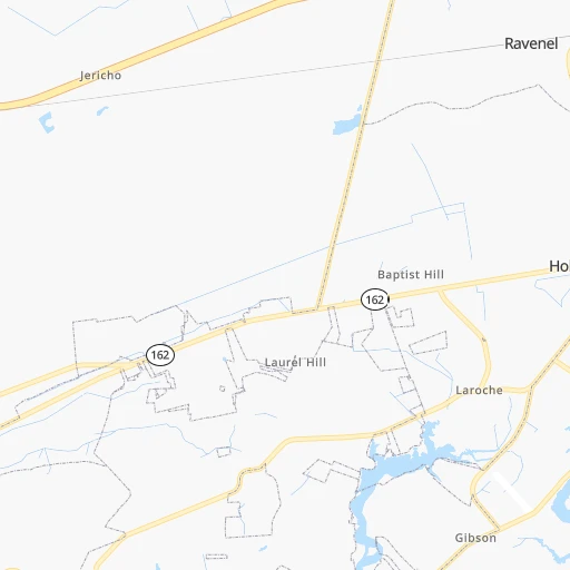
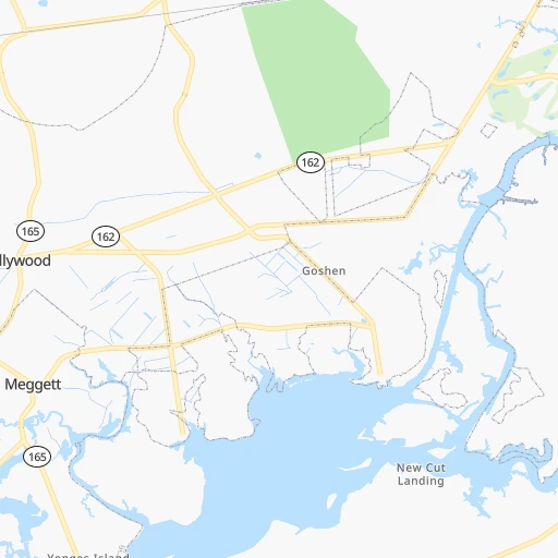
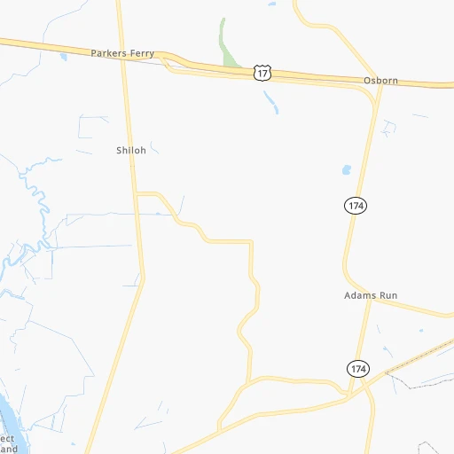
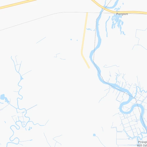
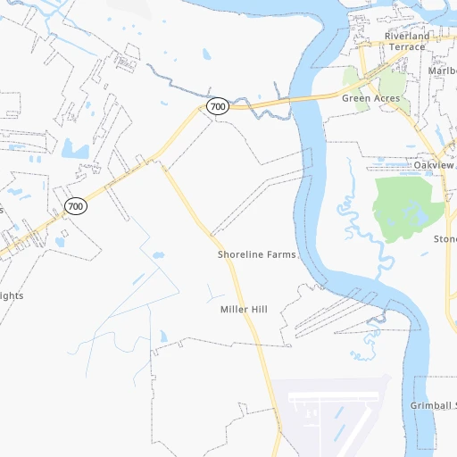
Roadmap (route) to go from Yonges Island Airport to Conway detailed above, you can also see the course layout on the map.
While doing trip Yonges Island (airport) - Conway by car, the calculated route ends at a distance , or more straight.
Distance and duration of the route between Yonges Island (airport) and Conway
Calculation of distance and route from Conway to Yonges Island (airport) :
167.2192.8 km3h47mn
Continue onto Long Island Road 0h2mn 971 mTurn right onto State Highway 165 0h3mn 3.1 kmTurn right onto SC 165 0h1mn 1.5 kmTurn right onto SC 162 0h29mn 30.8 kmKeep right onto Cannon Street 0h0mn 440 mTurn left onto Ashley Avenue 0h0mn 125 mTurn right onto Spring Street 0h1mn 1.0 kmTurn left onto Meeting Street 0h0mn 96 mTurn right onto Columbus Street 0h1mn 611 mTurn left onto East Bay Street 0h0mn 296 mKeep right toward US 17 North 1h19mn 94.6 kmKeep left onto North Fraser Street 1h50mn 59.3 kmArrive at destination 0h0mn 0 m
Travel from Yonges Island (airport) (South Carolina) to a selection of major cities.
Distances from Yonges Island Airport to biggest cities in South Carolina
- Taylors,21,617 inhabitants.313 km
- Saint Andrews,21,151 inhabitants.172 km
- Conway,21,053 inhabitants.167 km
- Easley,20,765 inhabitants.323 km
- Simpsonville,20,736 inhabitants.295 km
- Wade Hampton,20,622 inhabitants.313 km
- Lexington,20,138 inhabitants.171 km
Other major cities in country :
- Charlotte [NC], 827,097 inhabitants. 287 km
- Seattle [WA], 684,451 inhabitants. 3,888 km
- Denver [CO], 682,545 inhabitants. 2,348 km
- El Paso [TX], 681,124 inhabitants. 2,469 km
- Detroit [MI], 677,116 inhabitants. 1,101 km
- Boston [MA], 667,137 inhabitants. 1,344 km
- Memphis [TN], 655,770 inhabitants. 947 km
- New South Memphis [TN], 641,608 inhabitants. 946 km
- Portland [OR], 632,309 inhabitants. 3,881 km
- Oklahoma City [OK], 631,346 inhabitants. 1,621 km
- Las Vegas [NV], 623,747 inhabitants. 3,211 km
- Baltimore [MD], 621,849 inhabitants. 803 km
- Washington, D.C. [DC], 601,723 inhabitants. 747 km
- Milwaukee [WI], 600,155 inhabitants. 1,333 km
- South Boston [MA], 571,281 inhabitants. 1,342 km
- Albuquerque [NM], 559,121 inhabitants. 2,449 km
- Tucson [AZ], 531,641 inhabitants. 2,874 km
- Nashville [TN], 530,852 inhabitants. 715 km
- Fresno [CA], 520,052 inhabitants. 3,621 km
- Sacramento [CA], 490,712 inhabitants. 3,759 km
Route from Conway to major cities (United States).
- Distance Conway New York City886 km
- Distance Conway Los Angeles3,597 km
- Distance Conway Chicago1,168 km
- Distance Conway Brooklyn882 km
- Distance Conway Houston1,607 km
- Distance Conway Queens891 km
- Distance Conway Philadelphia763 km
- Distance Conway Phoenix3,048 km
- Distance Conway Manhattan894 km
- Distance Conway San Antonio1,904 km
- Distance Conway San Diego3,529 km
- Distance Conway The Bronx905 km
- Distance Conway Dallas1,654 km
- Distance Conway San Jose3,865 km
- Distance Conway Austin1,805 km
- Distance Conway Jacksonville461 km
- Distance Conway San Francisco3,905 km
- Distance Conway Columbus767 km
- Distance Conway Fort Worth1,703 km
- Distance Conway Indianapolis915 km
Nearest cities to Yonges Island (airport) :
- Jacksonville, 868,031 inhabitants. 296 km
- Charlotte, 827,097 inhabitants. 287 km
- Fayetteville, 201,963 inhabitants. 290 km
- Savannah, 145,674 inhabitants. 107 km
- Columbia, 133,803 inhabitants. 163 km
- Charleston, 132,609 inhabitants. 29 km
- Wilmington, 115,933 inhabitants. 272 km
- North Charleston, 108,304 inhabitants. 29 km
- Greenville, 90,597 inhabitants. 418 km
- Asheville, 88,512 inhabitants. 388 km
- Concord, 87,696 inhabitants. 304 km
- Mount Pleasant, 81,317 inhabitants. 36 km
- Gastonia, 74,543 inhabitants. 299 km
- Rock Hill, 71,548 inhabitants. 259 km
- Jacksonville, 67,357 inhabitants. 345 km
- Greenville, 64,579 inhabitants. 313 km
- Huntersville, 52,704 inhabitants. 307 km
- Summerville, 48,848 inhabitants. 36 km
- Kannapolis, 46,144 inhabitants. 313 km
- Augusta, 43,459 inhabitants. 184 km
- Sumter, 40,816 inhabitants. 136 km
- Goose Creek, 40,633 inhabitants. 36 km
- Hilton Head Island, 40,512 inhabitants. 74 km
- St. Johns, 40,000 inhabitants. 317 km
- Florence, 38,228 inhabitants. 172 km
- Spartanburg, 37,867 inhabitants. 296 km
- Hilton Head, 37,099 inhabitants. 73 km
- Indian Trail, 37,073 inhabitants. 268 km
- Mooresville, 36,009 inhabitants. 326 km
- Goldsboro, 35,826 inhabitants. 363 km
- Martinez, 35,795 inhabitants. 195 km
- Ponte Vedra Beach, 35,400 inhabitants. 295 km
- Monroe, 34,623 inhabitants. 256 km
- Salisbury, 34,017 inhabitants. 332 km
- Hinesville, 33,398 inhabitants. 160 km
- Holly Springs, 31,377 inhabitants. 353 km
- Myrtle Beach, 31,035 inhabitants. 166 km
- Lakeside, 30,943 inhabitants. 321 km
- Statesboro, 30,721 inhabitants. 149 km
- Matthews, 30,678 inhabitants. 273 km
- Aiken, 30,604 inhabitants. 169 km
- Fruit Cove, 29,362 inhabitants. 318 km
- Fort Bragg, 29,183 inhabitants. 294 km
- Sanford, 29,144 inhabitants. 324 km
- Evans, 29,011 inhabitants. 201 km
- Greer, 28,365 inhabitants. 311 km
- Cornelius, 28,092 inhabitants. 316 km
- Anderson, 27,335 inhabitants. 302 km
- Fleming Island, 27,126 inhabitants. 323 km
- Mint Hill, 25,627 inhabitants. 279 km
Location Yonges Island (airport) (South Carolina) :
| Country flag |  |
| Location | Yonges Island (airport) |
| State | South Carolina |
| County | Charleston County |
| Country | United States |
| Country code / ISO 2 | US |
| Latitude | 32.6984400 |
| Longitude | -80.2253600 |
| Altitude | 2 meters |
| Time zone | America/New_York |
Location Conway (South Carolina) :
| Country flag | |
| Location | Conway |
| State | South Carolina |
| County | Horry County |
| Country | United States |
| Country code / ISO 2 | US |
| Latitude | 33.8360000 |
| Longitude | -79.0478100 |
| Altitude | 10 meters |
| Time zone | America/New_York |
