
How to get from Stacija Durbe (Durbe) to Aizpute (Aizpute)
Calculate route from Stacija Durbe (Durbe, Latvia) to Aizpute (Aizpute, Latvia).
The flight distance (as the crow flies) between Stacija Durbe and Aizpute is 21.3 km.
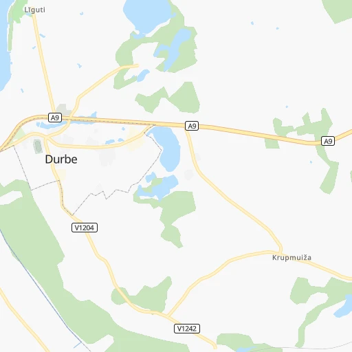
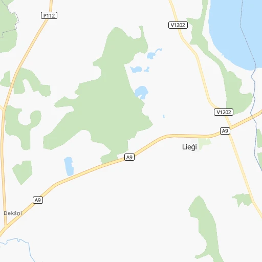
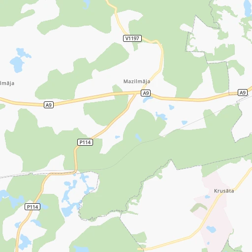
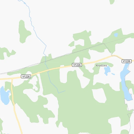
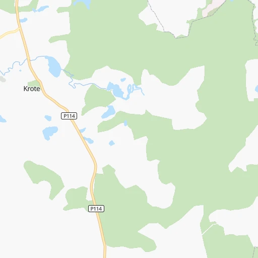
Roadmap (route) to go from Stacija Durbe to Aizpute detailed above, you can also see the course layout on the map.
While doing trip Stacija Durbe - Aizpute by car, the calculated route ends at a distance , or more straight.
Distance and duration of the route between Stacija Durbe and Aizpute
Calculation of distance and route from Aizpute to Stacija Durbe :
21.329.5 km1h30mn
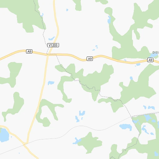
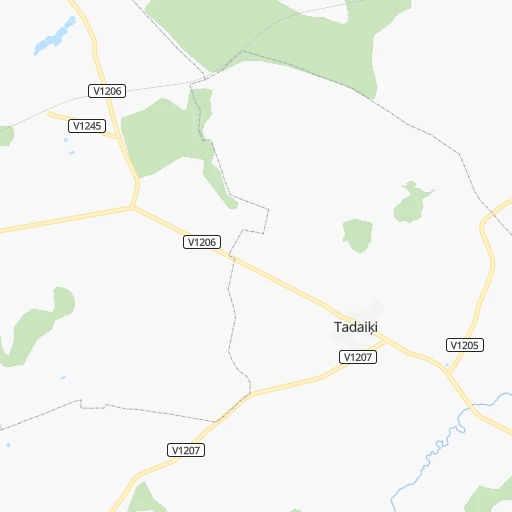
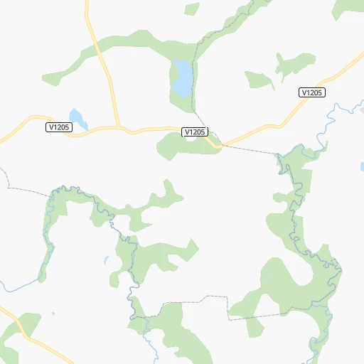
Continue 0h2mn 1.2 kmTurn sharp right onto Durbe — Padone — Kugras 0h4mn 4.3 kmKeep left 0h3mn 3.2 kmTurn right onto Rīga (Skulte) — Liepāja 0h0mn 23 mTurn left onto Vecpils — Padone 0h4mn 4.4 kmTurn left onto Cīrava — Vecpils — Stroķi 0h0mn 168 mTurn right onto Stroķi-Vecpils 0h6mn 6.1 kmTurn slight right onto Aizpute-Ilmāja 0h7mn 7.2 kmTurn right onto Kuldīga — Aizpute — Līči 0h3mn 2.9 kmArrive at destination 0h0mn 0 m
Travel from Stacija Durbe (Aizpute) to a selection of major cities.
Distances from Stacija Durbe to biggest cities in Durbe
Other major cities in country :
Route from Aizpute to major cities (Latvia).
Nearest cities to Stacija Durbe :
- Riga, 742,572 inhabitants. 170 km
- Liepaja, 85,132 inhabitants. 24 km
- Jelgava, 61,791 inhabitants. 141 km
- Jurmala, 54,088 inhabitants. 151 km
- Ventspils, 42,644 inhabitants. 93 km
- Tukums, 18,348 inhabitants. 116 km
- Salaspils, 17,606 inhabitants. 183 km
- Bolderaja, 14,771 inhabitants. 169 km
- Kuldiga, 13,289 inhabitants. 57 km
- Olaine, 12,584 inhabitants. 156 km
- Saldus, 12,224 inhabitants. 67 km
- Talsi, 12,022 inhabitants. 104 km
- Dobele, 11,225 inhabitants. 114 km
- Bauska, 10,532 inhabitants. 172 km
- Daugavgriva, 9,952 inhabitants. 169 km
- Karosta, 7,500 inhabitants. 25 km
- Aizpute, 5,634 inhabitants. 21 km
- Kekava, 4,600 inhabitants. 175 km
- Mezaparks, 4,500 inhabitants. 174 km
- Grobina, 4,203 inhabitants. 15 km
- Iecava, 4,000 inhabitants. 171 km
- Balozi, 3,854 inhabitants. 169 km
- Kandava, 3,592 inhabitants. 99 km
- Broceni, 3,486 inhabitants. 72 km
- Salacgriva, 3,427 inhabitants. 222 km
- Ozolnieki, 3,400 inhabitants. 146 km
- Auce, 3,125 inhabitants. 92 km
- Pinki, 3,033 inhabitants. 158 km
Location Stacija Durbe (Durbe) :
| Country flag |  |
| Location | Stacija Durbe |
| State | Durbe |
| County | Durbes pagasts |
| Country | Latvia |
| Country code / ISO 2 | LV |
| Latitude | 56.5590900 |
| Longitude | 21.4145600 |
| Altitude | 0 meters |
| Time zone | Europe/Riga |
Location Aizpute (Aizpute) :
| Country flag | |
| Location | Aizpute |
| State | Aizpute |
| County | Aizpute |
| Country | Latvia |
| Country code / ISO 2 | LV |
| Latitude | 56.7210800 |
| Longitude | 21.6015600 |
| Altitude | 0 meters |
| Time zone | Europe/Riga |