
How to get from Tahlequah (Oklahoma) to Altus (Oklahoma)
Calculate route from Tahlequah (Oklahoma, United States) to Altus (Oklahoma, United States).
The flight distance (as the crow flies) between Tahlequah and Altus is 420.5 km.
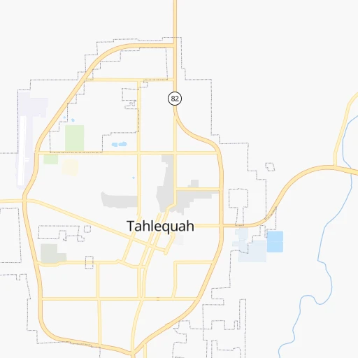
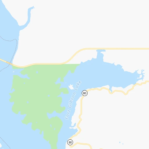
Roadmap (route) to go from Tahlequah to Altus detailed above, you can also see the course layout on the map.
While doing trip Tahlequah - Altus by car, the calculated route ends at a distance , or more straight.
Distance and duration of the route between Tahlequah and Altus
Calculation of distance and route from Altus to Tahlequah :
420.5480.4 km5h6mn
Continue onto North Muskogee Avenue 0h29mn 39.7 kmKeep right and take OK 165 South, OK 351 East toward Fort Smith 0h3mn 5.2 kmKeep right onto OK 165 toward OK 165 West 0h6mn 8.0 kmTurn left onto South 24th Street West 0h2mn 1.7 kmTurn right onto West Smith Ferry Road 0h0mn 408 mTurn left onto South 32nd Street 0h18mn 29.8 kmKeep right and take I 40 West toward Oklahoma City 2h31mn 160.8 kmKeep right onto Southeast Expressway and take OK 3 West, I 240 West toward Lawton, Dallas 0h16mn 25.7 kmKeep right and drive toward South May Avenue 0h0mn 355 mTurn sharp left onto South May Avenue 0h0mn 301 mTurn right onto Southwest 74th Street 0h1mn 905 mTurn left and take I 44 West, US 62 West toward Lawton 1h8mn 120.0 kmKeep right onto US 62 0h9mn 10.1 kmContinue onto US 62 1h57mn 73.6 kmTurn slight right onto East Broadway Street 0h4mn 3.7 kmTurn right onto North Main Street 0h0mn 30 mArrive at destination 0h0mn 0 m
Travel from Tahlequah (Oklahoma) to a selection of major cities.
Distances from Tahlequah to biggest cities in Oklahoma
Other major cities in country :
- Charlotte [NC], 827,097 inhabitants. 1,280 km
- Seattle [WA], 684,451 inhabitants. 2,598 km
- Denver [CO], 682,545 inhabitants. 977 km
- El Paso [TX], 681,124 inhabitants. 1,160 km
- Detroit [MI], 677,116 inhabitants. 1,251 km
- Boston [MA], 667,137 inhabitants. 2,177 km
- Memphis [TN], 655,770 inhabitants. 454 km
- New South Memphis [TN], 641,608 inhabitants. 455 km
- Portland [OR], 632,309 inhabitants. 2,554 km
- Las Vegas [NV], 623,747 inhabitants. 1,812 km
- Baltimore [MD], 621,849 inhabitants. 1,659 km
- Washington, D.C. [DC], 601,723 inhabitants. 1,617 km
- Milwaukee [WI], 600,155 inhabitants. 998 km
- South Boston [MA], 571,281 inhabitants. 2,177 km
- Albuquerque [NM], 559,121 inhabitants. 1,062 km
- Tucson [AZ], 531,641 inhabitants. 1,526 km
- Nashville [TN], 530,852 inhabitants. 737 km
- Fresno [CA], 520,052 inhabitants. 2,220 km
- Sacramento [CA], 490,712 inhabitants. 2,361 km
- Kansas City [MO], 475,378 inhabitants. 356 km
Route from Altus to major cities (United States).
- Distance Altus New York City2,322 km
- Distance Altus Los Angeles1,737 km
- Distance Altus Chicago1,297 km
- Distance Altus Brooklyn2,326 km
- Distance Altus Houston659 km
- Distance Altus Queens2,336 km
- Distance Altus Philadelphia2,213 km
- Distance Altus Phoenix1,182 km
- Distance Altus Manhattan2,327 km
- Distance Altus San Antonio586 km
- Distance Altus San Diego1,663 km
- Distance Altus The Bronx2,336 km
- Distance Altus Dallas312 km
- Distance Altus San Jose2,049 km
- Distance Altus Austin509 km
- Distance Altus Jacksonville1,725 km
- Distance Altus San Francisco2,097 km
- Distance Altus Columbus1,560 km
- Distance Altus Fort Worth283 km
- Distance Altus Indianapolis1,299 km
Nearest cities to Tahlequah :
- Oklahoma City, 631,346 inhabitants. 236 km
- Tulsa, 403,505 inhabitants. 96 km
- Wichita, 389,965 inhabitants. 289 km
- Plano, 283,558 inhabitants. 359 km
- Little Rock, 197,992 inhabitants. 276 km
- Springfield, 166,810 inhabitants. 208 km
- McKinney, 162,898 inhabitants. 338 km
- Frisco, 154,407 inhabitants. 352 km
- Olathe, 134,305 inhabitants. 330 km
- Carrollton, 133,168 inhabitants. 374 km
- Denton, 131,044 inhabitants. 360 km
- Norman, 120,284 inhabitants. 237 km
- Richardson, 110,815 inhabitants. 368 km
- Broken Arrow, 106,563 inhabitants. 76 km
- Lewisville, 104,039 inhabitants. 369 km
- Allen, 98,143 inhabitants. 350 km
- Lee's Summit, 95,094 inhabitants. 337 km
- Edmond, 90,092 inhabitants. 228 km
- Fort Smith, 88,194 inhabitants. 78 km
- Fayetteville, 82,830 inhabitants. 75 km
- Springdale, 77,859 inhabitants. 82 km
- Flower Mound, 71,253 inhabitants. 377 km
- North Little Rock, 66,504 inhabitants. 277 km
- Conway, 64,980 inhabitants. 247 km
- Rogers, 63,159 inhabitants. 90 km
- Moore, 60,451 inhabitants. 237 km
- Midwest City, 57,249 inhabitants. 225 km
- Joplin, 51,818 inhabitants. 136 km
- Enid, 51,776 inhabitants. 267 km
- Grapevine, 51,404 inhabitants. 384 km
- Stillwater, 48,967 inhabitants. 189 km
- Salina, 47,813 inhabitants. 401 km
- Wylie, 46,708 inhabitants. 353 km
- Keller, 45,758 inhabitants. 392 km
- Pine Bluff, 44,772 inhabitants. 329 km
- Bentonville, 44,499 inhabitants. 85 km
- Jefferson City, 43,169 inhabitants. 386 km
- Rockwall, 42,566 inhabitants. 359 km
- The Colony, 41,779 inhabitants. 360 km
- Hutchinson, 41,569 inhabitants. 355 km
- Coppell, 41,159 inhabitants. 379 km
- Sherman, 40,667 inhabitants. 295 km
- Muskogee, 38,456 inhabitants. 41 km
- Little Elm, 38,341 inhabitants. 356 km
- Texarkana, 37,280 inhabitants. 290 km
- Bartlesville, 36,595 inhabitants. 130 km
- Hot Springs, 35,635 inhabitants. 235 km
- Hot Springs National Park, 35,193 inhabitants. 232 km
- Owasso, 34,542 inhabitants. 89 km
- Benton, 34,177 inhabitants. 264 km
Location Tahlequah (Oklahoma) :
| Country flag |  |
| Location | Tahlequah |
| State | Oklahoma |
| County | Cherokee County |
| Country | United States |
| Country code / ISO 2 | US |
| Latitude | 35.9153700 |
| Longitude | -94.9699600 |
| Altitude | 243 meters |
| Time zone | America/Chicago |
Location Altus (Oklahoma) :
| Country flag | |
| Location | Altus |
| State | Oklahoma |
| County | Jackson County |
| Country | United States |
| Country code / ISO 2 | US |
| Latitude | 34.6381300 |
| Longitude | -99.3339800 |
| Altitude | 426 meters |
| Time zone | America/Chicago |

