
How to get from Chappell (airport) (Oklahoma) to McAlester (Oklahoma)
Calculate route from Chappell (airport) (Oklahoma, United States) to McAlester (Oklahoma, United States).
The flight distance (as the crow flies) between Chappell (airport) and McAlester is 181.7 km.
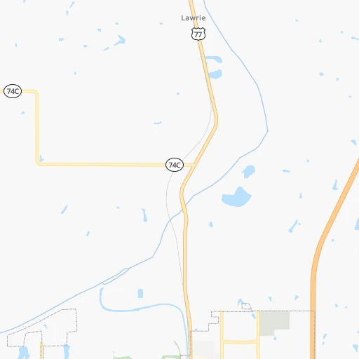
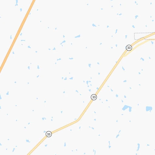
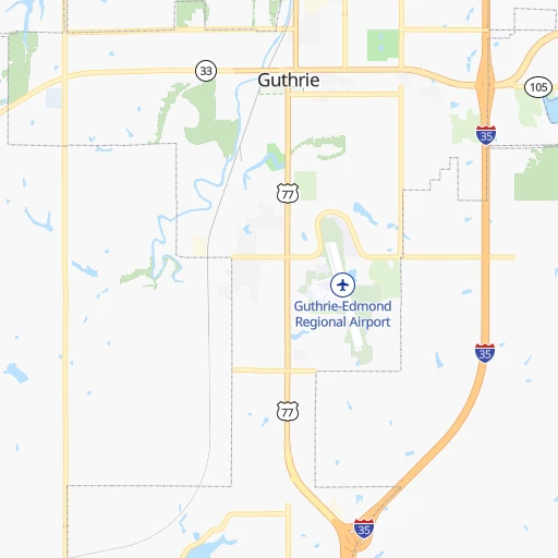
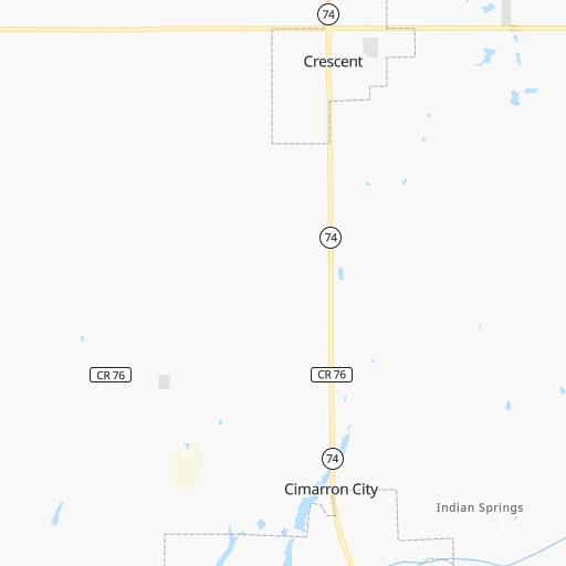
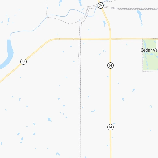
Roadmap (route) to go from Chappell Airport to McAlester detailed above, you can also see the course layout on the map.
While doing trip Chappell (airport) - McAlester by car, the calculated route ends at a distance , or more straight.
Distance and duration of the route between Chappell (airport) and McAlester
Calculation of distance and route from McAlester to Chappell (airport) :
181.7238.2 km3h41mn
Continue 0h0mn 223 mTurn left onto East College Avenue 0h1mn 845 mTurn right onto North Midwest Boulevard 0h23mn 34.6 kmTurn right onto US 177 0h27mn 40.8 kmTurn left onto US 62 1h53mn 65.4 kmTurn right onto North 16th Street 0h0mn 412 mTurn left onto West Broadway Street 0h2mn 1.8 kmTurn right onto Woody Guthrie Boulevard 0h1mn 1.1 kmTurn left onto US 62 and take I 40 East, US 62 East toward Fort Smith 0h17mn 29.5 kmKeep right and take Indian Nation Turnpike South toward McAlester, Dallas 0h29mn 55.9 kmKeep right and take US 270, OK 1 toward McAlester, Calvin 0h0mn 339 mTurn left onto US 270, OK 1 0h7mn 7.3 kmTurn sharp left onto North Main Street 0h0mn 15 mArrive at destination 0h0mn 0 m
Travel from Chappell (airport) (Oklahoma) to a selection of major cities.
Distances from Chappell Airport to biggest cities in Oklahoma
Other major cities in country :
- Charlotte [NC], 827,097 inhabitants. 1,499 km
- Seattle [WA], 684,451 inhabitants. 2,431 km
- Denver [CO], 682,545 inhabitants. 793 km
- El Paso [TX], 681,124 inhabitants. 957 km
- Detroit [MI], 677,116 inhabitants. 1,429 km
- Boston [MA], 667,137 inhabitants. 2,375 km
- Memphis [TN], 655,770 inhabitants. 671 km
- New South Memphis [TN], 641,608 inhabitants. 671 km
- Portland [OR], 632,309 inhabitants. 2,374 km
- Las Vegas [NV], 623,747 inhabitants. 1,595 km
- Baltimore [MD], 621,849 inhabitants. 1,868 km
- Washington, D.C. [DC], 601,723 inhabitants. 1,828 km
- Milwaukee [WI], 600,155 inhabitants. 1,138 km
- South Boston [MA], 571,281 inhabitants. 2,375 km
- Albuquerque [NM], 559,121 inhabitants. 843 km
- Tucson [AZ], 531,641 inhabitants. 1,311 km
- Nashville [TN], 530,852 inhabitants. 956 km
- Fresno [CA], 520,052 inhabitants. 2,005 km
- Sacramento [CA], 490,712 inhabitants. 2,150 km
- Kansas City [MO], 475,378 inhabitants. 436 km
Route from McAlester to major cities (United States).
- Distance McAlester New York City2,013 km
- Distance McAlester Los Angeles2,060 km
- Distance McAlester Chicago1,045 km
- Distance McAlester Brooklyn2,016 km
- Distance McAlester Houston577 km
- Distance McAlester Queens2,026 km
- Distance McAlester Philadelphia1,900 km
- Distance McAlester Phoenix1,509 km
- Distance McAlester Manhattan2,018 km
- Distance McAlester San Antonio665 km
- Distance McAlester San Diego1,990 km
- Distance McAlester The Bronx2,027 km
- Distance McAlester Dallas258 km
- Distance McAlester San Jose2,356 km
- Distance McAlester Austin551 km
- Distance McAlester Jacksonville1,417 km
- Distance McAlester San Francisco2,402 km
- Distance McAlester Columbus1,258 km
- Distance McAlester Fort Worth285 km
- Distance McAlester Indianapolis1,006 km
Nearest cities to Chappell (airport) :
- Oklahoma City, 631,346 inhabitants. 48 km
- Tulsa, 403,505 inhabitants. 130 km
- Wichita, 389,965 inhabitants. 201 km
- Plano, 283,558 inhabitants. 326 km
- Garland, 236,897 inhabitants. 339 km
- McKinney, 162,898 inhabitants. 308 km
- Frisco, 154,407 inhabitants. 309 km
- Olathe, 134,305 inhabitants. 404 km
- Carrollton, 133,168 inhabitants. 330 km
- Denton, 131,044 inhabitants. 299 km
- Norman, 120,284 inhabitants. 74 km
- Richardson, 110,815 inhabitants. 333 km
- Broken Arrow, 106,563 inhabitants. 146 km
- Wichita Falls, 104,710 inhabitants. 241 km
- Lewisville, 104,039 inhabitants. 319 km
- Allen, 98,143 inhabitants. 317 km
- Lawton, 96,655 inhabitants. 169 km
- Edmond, 90,092 inhabitants. 27 km
- Flower Mound, 71,253 inhabitants. 321 km
- Moore, 60,451 inhabitants. 62 km
- Rowlett, 60,236 inhabitants. 341 km
- Midwest City, 57,249 inhabitants. 49 km
- Joplin, 51,818 inhabitants. 291 km
- Enid, 51,776 inhabitants. 71 km
- Grapevine, 51,404 inhabitants. 330 km
- Stillwater, 48,967 inhabitants. 40 km
- Salina, 47,813 inhabitants. 329 km
- Wylie, 46,708 inhabitants. 329 km
- Keller, 45,758 inhabitants. 329 km
- Rockwall, 42,566 inhabitants. 340 km
- The Colony, 41,779 inhabitants. 315 km
- Hutchinson, 41,569 inhabitants. 246 km
- Coppell, 41,159 inhabitants. 329 km
- Sherman, 40,667 inhabitants. 261 km
- Muskogee, 38,456 inhabitants. 184 km
- Little Elm, 38,341 inhabitants. 306 km
- Bartlesville, 36,595 inhabitants. 159 km
- Owasso, 34,542 inhabitants. 145 km
- Farmers Branch, 32,689 inhabitants. 333 km
- Shawnee, 31,286 inhabitants. 76 km
- Southlake, 29,941 inhabitants. 329 km
- Dodge City, 27,912 inhabitants. 312 km
- Greenville, 26,515 inhabitants. 328 km
- Yukon, 25,892 inhabitants. 54 km
- Grandview, 25,256 inhabitants. 419 km
- Ardmore, 25,176 inhabitants. 192 km
- Paris, 24,782 inhabitants. 300 km
- Ponca City, 24,758 inhabitants. 95 km
- Bixby, 24,657 inhabitants. 137 km
- Emporia, 24,649 inhabitants. 300 km
Location Chappell (airport) (Oklahoma) :
| Country flag |  |
| Location | Chappell (airport) |
| State | Oklahoma |
| County | Logan County |
| Country | United States |
| Country code / ISO 2 | US |
| Latitude | 35.8886600 |
| Longitude | -97.3987600 |
| Altitude | 320 meters |
| Time zone | America/Chicago |
Location McAlester (Oklahoma) :
| Country flag | |
| Location | McAlester |
| State | Oklahoma |
| County | Pittsburg County |
| Country | United States |
| Country code / ISO 2 | US |
| Latitude | 34.9334300 |
| Longitude | -95.7697100 |
| Altitude | 224 meters |
| Time zone | America/Chicago |


