
How to get from Catoosa Ultralight Airpark (Oklahoma) to Sand Springs (Oklahoma)
Calculate route from Catoosa Ultralight Airpark (Oklahoma, United States) to Sand Springs (Oklahoma, United States).
The flight distance (as the crow flies) between Catoosa Ultralight Airpark and Sand Springs is 34.1 km.
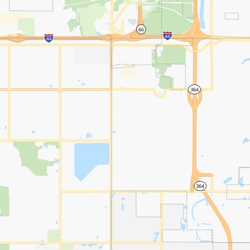
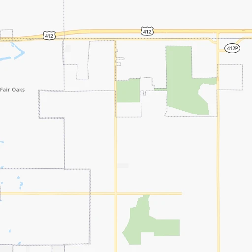
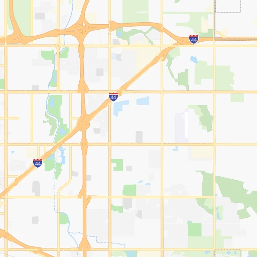
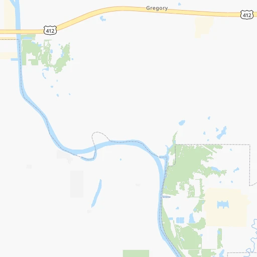
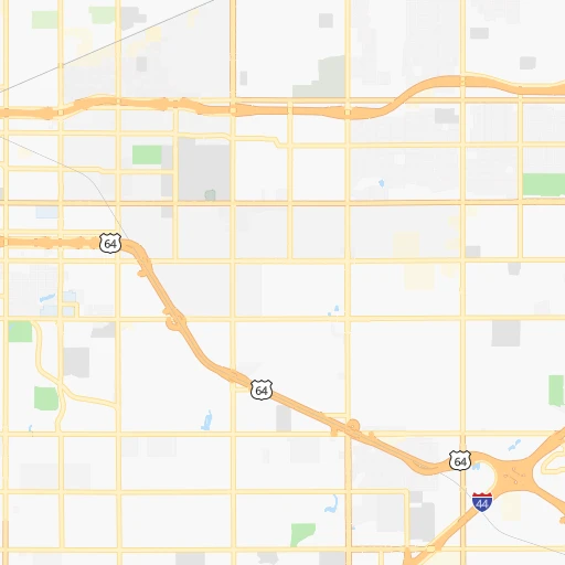
Roadmap (route) to go from Catoosa Ultralight Airpark to Sand Springs detailed above, you can also see the course layout on the map.
While doing trip Catoosa Ultralight Airpark - Sand Springs by car, the calculated route ends at a distance , or more straight.
Distance and duration of the route between Catoosa Ultralight Airpark and Sand Springs
Calculation of distance and route from Sand Springs to Catoosa Ultralight Airpark :
34.138.4 km0h26mn
Continue onto East 11th Street 0h0mn 79 mTurn left and take OK 351 East toward Joplin 0h2mn 2.6 kmKeep right and take I 44 West, US 412 West, OK 66 West toward Tulsa 0h6mn 8.4 kmKeep right onto Martin Luther King, Junior Memorial Expressway and take I 244 West, US 412 West toward Sand Springs, Enid 0h11mn 16.5 kmKeep left onto Sand Springs Expressway and take US 64 West, US 412 West, OK 51 West toward Sand Springs 0h6mn 9.6 kmKeep right and drive toward Adams Road 0h0mn 410 mContinue onto East 2nd Street 0h1mn 564 mTurn right onto North Lincoln Avenue 0h0mn 137 mTurn left onto East Broadway Street 0h0mn 116 mTurn right onto North McKinley Avenue 0h0mn 18 mArrive at destination 0h0mn 0 m
Travel from Catoosa Ultralight Airpark (Oklahoma) to a selection of major cities.
Distances from Catoosa Ultralight Airpark to biggest cities in Oklahoma
Other major cities in country :
- Charlotte [NC], 827,097 inhabitants. 1,349 km
- Seattle [WA], 684,451 inhabitants. 2,529 km
- Denver [CO], 682,545 inhabitants. 905 km
- El Paso [TX], 681,124 inhabitants. 1,106 km
- Detroit [MI], 677,116 inhabitants. 1,290 km
- Boston [MA], 667,137 inhabitants. 2,227 km
- Memphis [TN], 655,770 inhabitants. 526 km
- New South Memphis [TN], 641,608 inhabitants. 527 km
- Portland [OR], 632,309 inhabitants. 2,482 km
- Las Vegas [NV], 623,747 inhabitants. 1,741 km
- Baltimore [MD], 621,849 inhabitants. 1,716 km
- Washington, D.C. [DC], 601,723 inhabitants. 1,675 km
- Milwaukee [WI], 600,155 inhabitants. 1,018 km
- South Boston [MA], 571,281 inhabitants. 2,227 km
- Albuquerque [NM], 559,121 inhabitants. 995 km
- Tucson [AZ], 531,641 inhabitants. 1,464 km
- Nashville [TN], 530,852 inhabitants. 804 km
- Fresno [CA], 520,052 inhabitants. 2,148 km
- Sacramento [CA], 490,712 inhabitants. 2,288 km
- Kansas City [MO], 475,378 inhabitants. 344 km
Route from Sand Springs to major cities (United States).
- Distance Sand Springs New York City1,988 km
- Distance Sand Springs Los Angeles2,025 km
- Distance Sand Springs Chicago968 km
- Distance Sand Springs Brooklyn1,992 km
- Distance Sand Springs Houston713 km
- Distance Sand Springs Queens2,001 km
- Distance Sand Springs Philadelphia1,880 km
- Distance Sand Springs Phoenix1,488 km
- Distance Sand Springs Manhattan1,992 km
- Distance Sand Springs San Antonio780 km
- Distance Sand Springs San Diego1,966 km
- Distance Sand Springs The Bronx2,001 km
- Distance Sand Springs Dallas379 km
- Distance Sand Springs San Jose2,297 km
- Distance Sand Springs Austin671 km
- Distance Sand Springs Jacksonville1,491 km
- Distance Sand Springs San Francisco2,340 km
- Distance Sand Springs Columbus1,224 km
- Distance Sand Springs Fort Worth396 km
- Distance Sand Springs Indianapolis962 km
Nearest cities to Catoosa Ultralight Airpark :
- Oklahoma City, 631,346 inhabitants. 178 km
- Kansas City, 475,378 inhabitants. 344 km
- Tulsa, 403,505 inhabitants. 24 km
- Wichita, 389,965 inhabitants. 223 km
- Overland Park, 186,515 inhabitants. 329 km
- Springfield, 166,810 inhabitants. 247 km
- McKinney, 162,898 inhabitants. 339 km
- Frisco, 154,407 inhabitants. 349 km
- Kansas City, 151,306 inhabitants. 344 km
- Olathe, 134,305 inhabitants. 314 km
- Denton, 131,044 inhabitants. 351 km
- Topeka, 127,265 inhabitants. 323 km
- Norman, 120,284 inhabitants. 186 km
- Independence, 117,255 inhabitants. 347 km
- East Independence, 110,675 inhabitants. 350 km
- Broken Arrow, 106,563 inhabitants. 12 km
- Wichita Falls, 104,710 inhabitants. 354 km
- Lawton, 96,655 inhabitants. 296 km
- Lee's Summit, 95,094 inhabitants. 330 km
- Lawrence, 93,917 inhabitants. 317 km
- Edmond, 90,092 inhabitants. 167 km
- Fort Smith, 88,194 inhabitants. 147 km
- Fayetteville, 82,830 inhabitants. 142 km
- Springdale, 77,859 inhabitants. 144 km
- Shawnee, 65,046 inhabitants. 334 km
- Rogers, 63,159 inhabitants. 146 km
- Moore, 60,451 inhabitants. 183 km
- Midwest City, 57,249 inhabitants. 170 km
- Blue Springs, 54,148 inhabitants. 344 km
- Lenexa, 52,490 inhabitants. 324 km
- Joplin, 51,818 inhabitants. 150 km
- Enid, 51,776 inhabitants. 195 km
- Stillwater, 48,967 inhabitants. 120 km
- Salina, 47,813 inhabitants. 342 km
- Bentonville, 44,499 inhabitants. 139 km
- Hutchinson, 41,569 inhabitants. 289 km
- Sherman, 40,667 inhabitants. 291 km
- Muskogee, 38,456 inhabitants. 55 km
- Little Elm, 38,341 inhabitants. 350 km
- Texarkana, 37,280 inhabitants. 340 km
- Bartlesville, 36,595 inhabitants. 70 km
- Hot Springs, 35,635 inhabitants. 304 km
- Hot Springs National Park, 35,193 inhabitants. 302 km
- Leawood, 34,579 inhabitants. 329 km
- Owasso, 34,542 inhabitants. 17 km
- Shawnee, 31,286 inhabitants. 142 km
- Texarkana, 30,353 inhabitants. 339 km
- Raytown, 29,401 inhabitants. 337 km
- Russellville, 29,166 inhabitants. 254 km
- Bella Vista, 27,999 inhabitants. 136 km
Location Catoosa Ultralight Airpark (Oklahoma) :
| Country flag |  |
| Location | Catoosa Ultralight Airpark |
| State | Oklahoma |
| County | Wagoner County |
| Country | United States |
| Country code / ISO 2 | US |
| Latitude | 36.1501000 |
| Longitude | -95.7294300 |
| Altitude | 206 meters |
| Time zone | America/Chicago |
Location Sand Springs (Oklahoma) :
| Country flag | |
| Location | Sand Springs |
| State | Oklahoma |
| County | Tulsa County |
| Country | United States |
| Country code / ISO 2 | US |
| Latitude | 36.1398100 |
| Longitude | -96.1088900 |
| Altitude | 206 meters |
| Time zone | America/Chicago |


