
How to get from Netterville Landing Strip (Mississippi) to Pascagoula (Mississippi)
Calculate route from Netterville Landing Strip (Mississippi, United States) to Pascagoula (Mississippi, United States).
The flight distance (as the crow flies) between Netterville Landing Strip and Pascagoula is 273.8 km.
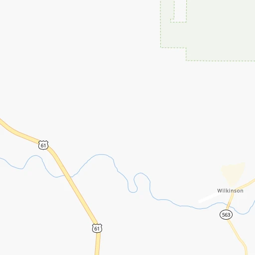
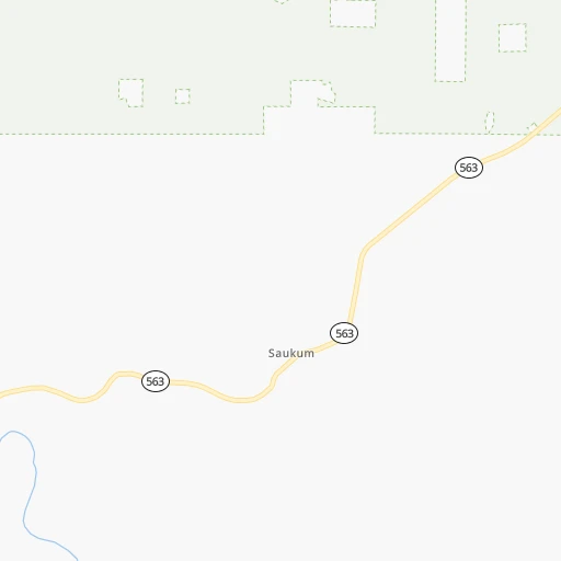
Roadmap (route) to go from Netterville Landing Strip to Pascagoula detailed above, you can also see the course layout on the map.
While doing trip Netterville Landing Strip - Pascagoula by car, the calculated route ends at a distance , or more straight.
Distance and duration of the route between Netterville Landing Strip and Pascagoula
Calculation of distance and route from Pascagoula to Netterville Landing Strip :
273.8350.7 km4h13mn
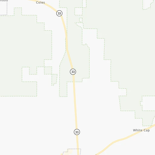
Continue onto Elm Lane 0h1mn 557 mTurn right onto Buffalo Road 0h2mn 1.2 kmTurn left onto MS 563 0h18mn 18.3 kmTurn right onto MS 33 0h15mn 14.5 kmKeep left 0h0mn 93 mTurn slight left onto Captain Gloster Drive 0h18mn 19.8 kmTurn sharp right onto Gillsburg Rd Avenue 1h38mn 37.5 kmKeep right 1h36mn 60.4 kmKeep right and take I 12 East toward Slidell 2h38mn 166.1 kmKeep right and take MS 609 toward Ocean Springs 0h0mn 365 mKeep right 0h4mn 4.6 kmTurn left onto Bienville Boulevard 0h22mn 26.6 kmKeep right onto Frederic Street 0h0mn 180 mTurn slight right onto Pascagoula Street 0h1mn 458 mTurn sharp left 0h0mn 40 mArrive at destination 0h0mn 0 m
Travel from Netterville Landing Strip (Mississippi) to a selection of major cities.
Distances from Netterville Landing Strip to biggest cities in Mississippi
- Pascagoula,22,126 inhabitants.274 km
Other major cities in country :
- Charlotte [NC], 827,097 inhabitants. 1,066 km
- Seattle [WA], 684,451 inhabitants. 3,202 km
- Denver [CO], 682,545 inhabitants. 1,562 km
- El Paso [TX], 681,124 inhabitants. 1,447 km
- Detroit [MI], 677,116 inhabitants. 1,435 km
- Boston [MA], 667,137 inhabitants. 2,176 km
- Memphis [TN], 655,770 inhabitants. 451 km
- New South Memphis [TN], 641,608 inhabitants. 444 km
- Portland [OR], 632,309 inhabitants. 3,142 km
- Oklahoma City [OK], 631,346 inhabitants. 750 km
- Las Vegas [NV], 623,747 inhabitants. 2,274 km
- Baltimore [MD], 621,849 inhabitants. 1,602 km
- Washington, D.C. [DC], 601,723 inhabitants. 1,548 km
- Milwaukee [WI], 600,155 inhabitants. 1,348 km
- South Boston [MA], 571,281 inhabitants. 2,176 km
- Albuquerque [NM], 559,121 inhabitants. 1,497 km
- Tucson [AZ], 531,641 inhabitants. 1,864 km
- Nashville [TN], 530,852 inhabitants. 688 km
- Fresno [CA], 520,052 inhabitants. 2,693 km
- Sacramento [CA], 490,712 inhabitants. 2,866 km
Route from Pascagoula to major cities (United States).
- Distance Pascagoula New York City1,746 km
- Distance Pascagoula Los Angeles2,816 km
- Distance Pascagoula Chicago1,281 km
- Distance Pascagoula Brooklyn1,746 km
- Distance Pascagoula Houston659 km
- Distance Pascagoula Queens1,755 km
- Distance Pascagoula Philadelphia1,617 km
- Distance Pascagoula Phoenix2,244 km
- Distance Pascagoula Manhattan1,753 km
- Distance Pascagoula San Antonio964 km
- Distance Pascagoula San Diego2,719 km
- Distance Pascagoula The Bronx1,765 km
- Distance Pascagoula Dallas827 km
- Distance Pascagoula San Jose3,161 km
- Distance Pascagoula Austin883 km
- Distance Pascagoula Jacksonville663 km
- Distance Pascagoula San Francisco3,211 km
- Distance Pascagoula Columbus1,181 km
- Distance Pascagoula Fort Worth872 km
- Distance Pascagoula Indianapolis1,069 km
Nearest cities to Netterville Landing Strip :
- New Orleans, 389,617 inhabitants. 180 km
- Baton Rouge, 228,590 inhabitants. 86 km
- Shreveport, 197,204 inhabitants. 278 km
- Jackson, 170,674 inhabitants. 157 km
- Metairie Terrace, 142,489 inhabitants. 173 km
- Metairie, 138,481 inhabitants. 173 km
- Lafayette, 127,657 inhabitants. 133 km
- Beaumont, 118,129 inhabitants. 301 km
- Lake Charles, 76,070 inhabitants. 218 km
- Gulfport, 71,856 inhabitants. 227 km
- West Gulfport, 71,329 inhabitants. 225 km
- Bossier City, 68,094 inhabitants. 276 km
- Kenner, 67,091 inhabitants. 167 km
- Port Arthur, 55,340 inhabitants. 298 km
- Monroe, 49,598 inhabitants. 166 km
- Alexandria, 47,889 inhabitants. 115 km
- Hattiesburg, 46,805 inhabitants. 186 km
- Biloxi, 45,637 inhabitants. 244 km
- Meridian, 39,661 inhabitants. 272 km
- Texarkana, 37,280 inhabitants. 360 km
- Houma, 34,287 inhabitants. 188 km
- Marrero, 33,141 inhabitants. 184 km
- Greenville, 32,156 inhabitants. 244 km
- New Iberia, 30,754 inhabitants. 146 km
- Texarkana, 30,353 inhabitants. 361 km
- Laplace, 29,872 inhabitants. 148 km
- Central, 28,295 inhabitants. 77 km
- Slidell, 27,942 inhabitants. 175 km
- Prairieville, 26,895 inhabitants. 105 km
- Pearl, 26,462 inhabitants. 158 km
- Madison, 25,799 inhabitants. 175 km
- Starkville, 25,366 inhabitants. 337 km
- Clinton, 25,254 inhabitants. 152 km
- Ridgeland, 24,351 inhabitants. 171 km
- Brandon, 23,529 inhabitants. 167 km
- Terrytown, 23,319 inhabitants. 187 km
- Columbus, 23,168 inhabitants. 367 km
- Vicksburg, 23,131 inhabitants. 131 km
- Ruston, 22,340 inhabitants. 196 km
- Pascagoula, 22,126 inhabitants. 274 km
- Hammond, 20,480 inhabitants. 109 km
- Harvey, 20,348 inhabitants. 185 km
- Sulphur, 20,189 inhabitants. 231 km
- Bayou Cane, 19,355 inhabitants. 184 km
- Orange, 19,347 inhabitants. 269 km
- Laurel, 18,837 inhabitants. 208 km
- Gautier, 18,570 inhabitants. 268 km
- Shenandoah, 18,399 inhabitants. 94 km
- El Dorado, 18,386 inhabitants. 258 km
- Natchitoches, 18,365 inhabitants. 185 km
Location Netterville Landing Strip (Mississippi) :
| Country flag |  |
| Location | Netterville Landing Strip |
| State | Mississippi |
| County | Wilkinson County |
| Country | United States |
| Country code / ISO 2 | US |
| Latitude | 31.2204500 |
| Longitude | -91.2462200 |
| Altitude | 39 meters |
| Time zone | America/Chicago |
Location Pascagoula (Mississippi) :
| Country flag | |
| Location | Pascagoula |
| State | Mississippi |
| County | Jackson County |
| Country | United States |
| Country code / ISO 2 | US |
| Latitude | 30.3657600 |
| Longitude | -88.5561300 |
| Altitude | 3 meters |
| Time zone | America/Chicago |


