
How to get from Columbia-Marion County (airport) (Mississippi) to Boston (Massachusetts)
Calculate route from Columbia-Marion County (airport) (Mississippi, United States) to Boston (Massachusetts, United States).
The flight distance (as the crow flies) between Columbia-Marion County (airport) and Boston is 2,064.6 km.
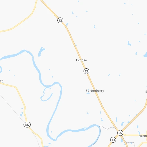
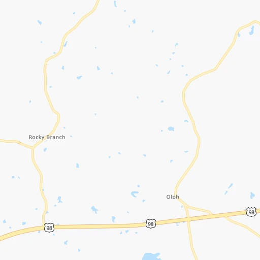
Roadmap (route) to go from Columbia-Marion County Airport to Boston detailed above, you can also see the course layout on the map.
While doing trip Columbia-Marion County (airport) - Boston by car, the calculated route ends at a distance , or more straight.
Distance and duration of the route between Columbia-Marion County (airport) and Boston
Calculation of distance and route from Boston to Columbia-Marion County (airport) :
2,064.62,298.4 km24h18mn
Continue 0h0mn 62 mTurn right 0h0mn 203 mTurn sharp left onto Airport Road 0h6mn 3.0 kmTurn left onto Sumrall Road 0h3mn 2.1 kmTurn right onto MS 44 0h2mn 2.2 kmTurn left onto US 98 0h28mn 41.1 kmKeep right and take I 59 North toward Laurel 0h0mn 356 mKeep left and take I 59 North toward Laurel 1h19mn 132.9 kmKeep right onto I 59 and take I 59 North, I 20 East toward Meridian, Tuscaloosa 2h28mn 247.3 kmKeep left onto I 59 and take I 59 North toward Gadsden 2h4mn 210.3 kmKeep right and take I 24 East toward Chattanooga 0h10mn 16.1 kmKeep right 0h9mn 11.6 kmKeep left and take I 75 North toward Knoxville 2h38mn 161.1 kmKeep left onto I 40 1h36mn 59.0 kmKeep left onto I 81 and take I 81 North toward Bristol 3h30mn 252.5 kmKeep left onto I 81, US 11 and take I 81 North, US 11 North toward Roanoke 2h17mn 225.1 kmKeep left onto I 81 3h30mn 338.4 kmContinue onto American Legion Memorial Highway 0h20mn 30.7 kmKeep right onto I 78 and take I 78 East toward Allentown 1h55mn 82.0 kmKeep right onto Lehigh Valley Thruway and take US 22 East toward Pennsylvania Turnpike, LVI Airport 0h24mn 31.6 kmKeep right and take PA 248 toward Wilson, 25th Street 0h0mn 295 mKeep left and take PA 248 toward Wilson, Easton, Lehighton 0h0mn 39 mTurn slight left onto Wood Avenue 0h0mn 193 mKeep right and take PA 248 East toward Wilson 0h0mn 74 mTurn slight right onto Northampton Street 0h3mn 3.4 kmAt roundabout, take exit 2 onto Northampton Street 0h1mn 649 mTurn right onto South Main Street 0h4mn 4.2 kmKeep right onto New Brunswick Avenue 0h3mn 2.0 kmTurn right onto US 22 0h0mn 111 mKeep right onto US 22 toward I 78, US 22 East 0h0mn 216 mKeep left onto US 22 and take I 78 East, US 22 East toward New York 0h29mn 45.1 kmKeep right onto Phillipsburg-Newark Expressway 0h17mn 26.7 kmKeep right onto Phillipsburg-Newark Expressway 0h10mn 16.5 kmKeep right and take I 95, NJTP toward Trenton 0h0mn 25 mKeep left toward I 95 North, NJTP North 0h2mn 2.2 kmKeep right and take I 95, NJ 3 toward George Washington Bridge 0h11mn 18.0 kmKeep right and take US 46 toward The Ridgefields, Palisades Park 0h0mn 251 mKeep right and take US 46 East toward Ridgefield, Palisades Park 0h4mn 4.4 kmKeep left onto US 1, US 9, US 46 0h0mn 437 mKeep left and drive toward George Washington Bridge Upper Level 0h0mn 597 mKeep right onto I 95, US 1, US 9 0h0mn 27 mKeep left onto I 95, US 1, US 9 0h4mn 5.4 kmKeep right onto US 1 and take US 1 North toward Webster Avenue 0h0mn 195 mTurn left onto Webster Avenue 0h5mn 4.7 kmTurn right onto East Gun Hill Road 0h1mn 1.6 kmTurn left onto Boston Road 0h2mn 2.1 kmTurn slight right onto Boston Road 0h1mn 590 mContinue onto Boston Road 0h3mn 3.1 kmKeep right toward I 95 North 1h44mn 59.3 kmKeep right and drive toward Black Rock Turnpike 0h0mn 332 mKeep left and drive toward Bridgeport, Black Rock Turnpike 0h0mn 275 mContinue onto Kings Highway East 0h5mn 5.8 kmKeep left onto Glenwood Avenue 0h0mn 83 mTurn left onto Chopsey Hill Road 0h0mn 199 mTurn right and take CT 8, CT 25 North toward Trumbull, Waterbury 0h1mn 1.6 kmKeep right onto CT 8 0h2mn 2.8 kmKeep right and take CT 15 North toward Merritt Parkway, New Haven 1h34mn 49.4 kmKeep right and take I 91 North, CT 66 East toward Hartford, Middletown 0h18mn 27.2 kmKeep left and take CT 15 North toward East Hartford, Boston 0h5mn 6.6 kmKeep left onto I 84, US 6 and take I 84 East toward Boston 1h40mn 63.0 kmKeep right and take I 90 East toward New Hampshire, Maine, Boston, Worcester 1h55mn 84.2 kmKeep left and drive toward Allston-Brighton, Cambridge, Fenway Park 0h1mn 737 mKeep right and drive toward Cambridge, Somerville, Fenway Park 0h0mn 296 mKeep right onto Cambridge Street 0h0mn 57 mContinue onto River Street 0h0mn 162 mTurn sharp right onto Memorial Drive 0h4mn 3.4 kmKeep left onto MA 3 and drive toward Gov't Center, Downtown Boston 0h2mn 1.1 kmContinue onto Cambridge Street 0h2mn 1.1 kmArrive at destination 0h0mn 0 m
Travel from Columbia-Marion County (airport) (Massachusetts) to a selection of major cities.
Distances from Columbia-Marion County Airport to biggest cities in Mississippi
- Pascagoula,22,126 inhabitants.159 km
Other major cities in country :
- Charlotte [NC], 827,097 inhabitants. 942 km
- Seattle [WA], 684,451 inhabitants. 3,296 km
- Denver [CO], 682,545 inhabitants. 1,661 km
- El Paso [TX], 681,124 inhabitants. 1,581 km
- Detroit [MI], 677,116 inhabitants. 1,368 km
- Boston [MA], 667,137 inhabitants. 2,068 km
- Memphis [TN], 655,770 inhabitants. 430 km
- New South Memphis [TN], 641,608 inhabitants. 423 km
- Portland [OR], 632,309 inhabitants. 3,243 km
- Oklahoma City [OK], 631,346 inhabitants. 853 km
- Las Vegas [NV], 623,747 inhabitants. 2,399 km
- Baltimore [MD], 621,849 inhabitants. 1,491 km
- Washington, D.C. [DC], 601,723 inhabitants. 1,437 km
- Milwaukee [WI], 600,155 inhabitants. 1,318 km
- South Boston [MA], 571,281 inhabitants. 2,068 km
- Albuquerque [NM], 559,121 inhabitants. 1,622 km
- Tucson [AZ], 531,641 inhabitants. 1,998 km
- Nashville [TN], 530,852 inhabitants. 610 km
- Fresno [CA], 520,052 inhabitants. 2,818 km
- Sacramento [CA], 490,712 inhabitants. 2,986 km
Route from Boston to major cities (United States).
- Distance Boston New York City306 km
- Distance Boston Los Angeles4,174 km
- Distance Boston Chicago1,369 km
- Distance Boston Brooklyn307 km
- Distance Boston Houston2,583 km
- Distance Boston Queens297 km
- Distance Boston Philadelphia436 km
- Distance Boston Phoenix3,698 km
- Distance Boston Manhattan299 km
- Distance Boston San Antonio2,844 km
- Distance Boston San Diego4,155 km
- Distance Boston The Bronx288 km
- Distance Boston Dallas2,496 km
- Distance Boston San Jose4,315 km
- Distance Boston Austin2,729 km
- Distance Boston Jacksonville1,639 km
- Distance Boston San Francisco4,338 km
- Distance Boston Columbus1,035 km
- Distance Boston Fort Worth2,540 km
- Distance Boston Indianapolis1,298 km
Nearest cities to Columbia-Marion County (airport) :
- New Orleans, 389,617 inhabitants. 151 km
- Baton Rouge, 228,590 inhabitants. 159 km
- Mobile, 194,288 inhabitants. 182 km
- Jackson, 170,674 inhabitants. 117 km
- Metairie Terrace, 142,489 inhabitants. 150 km
- Metairie, 138,481 inhabitants. 149 km
- Lafayette, 127,657 inhabitants. 242 km
- Tuscaloosa, 98,332 inhabitants. 300 km
- Gulfport, 71,856 inhabitants. 124 km
- West Gulfport, 71,329 inhabitants. 121 km
- Kenner, 67,091 inhabitants. 150 km
- East Pensacola Heights, 54,104 inhabitants. 270 km
- Pensacola, 53,193 inhabitants. 267 km
- Monroe, 49,598 inhabitants. 256 km
- Alexandria, 47,889 inhabitants. 250 km
- Hattiesburg, 46,805 inhabitants. 50 km
- Biloxi, 45,637 inhabitants. 134 km
- Pine Bluff, 44,772 inhabitants. 386 km
- Meridian, 39,661 inhabitants. 159 km
- Tupelo, 35,680 inhabitants. 346 km
- Houma, 34,287 inhabitants. 208 km
- Marrero, 33,141 inhabitants. 158 km
- Alabaster, 32,707 inhabitants. 356 km
- Greenville, 32,156 inhabitants. 263 km
- Navarre, 31,378 inhabitants. 299 km
- New Iberia, 30,754 inhabitants. 240 km
- Laplace, 29,872 inhabitants. 151 km
- Ferry Pass, 28,921 inhabitants. 263 km
- Central, 28,295 inhabitants. 143 km
- Slidell, 27,942 inhabitants. 113 km
- Prairieville, 26,895 inhabitants. 156 km
- Bessemer, 26,730 inhabitants. 357 km
- Cantonment, 26,493 inhabitants. 248 km
- Pearl, 26,462 inhabitants. 113 km
- Madison, 25,799 inhabitants. 133 km
- Starkville, 25,366 inhabitants. 258 km
- Clinton, 25,254 inhabitants. 126 km
- Daphne, 24,896 inhabitants. 198 km
- Northport, 24,772 inhabitants. 301 km
- Ridgeland, 24,351 inhabitants. 130 km
- Brandon, 23,529 inhabitants. 110 km
- Bellview, 23,355 inhabitants. 256 km
- Terrytown, 23,319 inhabitants. 155 km
- Columbus, 23,168 inhabitants. 278 km
- Vicksburg, 23,131 inhabitants. 155 km
- Prichard, 22,351 inhabitants. 177 km
- Ruston, 22,340 inhabitants. 300 km
- Pascagoula, 22,126 inhabitants. 159 km
- Brent, 21,804 inhabitants. 263 km
- West Pensacola, 21,339 inhabitants. 261 km
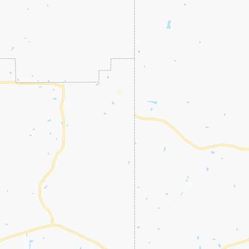
Location Columbia-Marion County (airport) (Mississippi) :
| Country flag |  |
| Location | Columbia-Marion County (airport) |
| State | Mississippi |
| County | Marion County |
| Country | United States |
| Country code / ISO 2 | US |
| Latitude | 31.2943200 |
| Longitude | -89.8152800 |
| Altitude | 74 meters |
| Time zone | America/Chicago |
Location Boston (Massachusetts) :
| Country flag | |
| Location | Boston |
| State | Massachusetts |
| County | Suffolk County |
| Country | United States |
| Country code / ISO 2 | US |
| Latitude | 42.3584300 |
| Longitude | -71.0597700 |
| Altitude | 14 meters |
| Time zone | America/New_York |


