
How to get from Charleston Municipal (airport) (Mississippi) to Hernando (Mississippi)
Calculate route from Charleston Municipal (airport) (Mississippi, United States) to Hernando (Mississippi, United States).
The flight distance (as the crow flies) between Charleston Municipal (airport) and Hernando is 93.3 km.
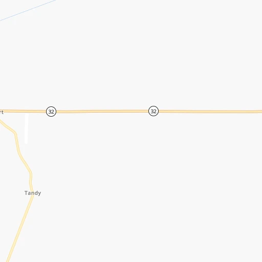
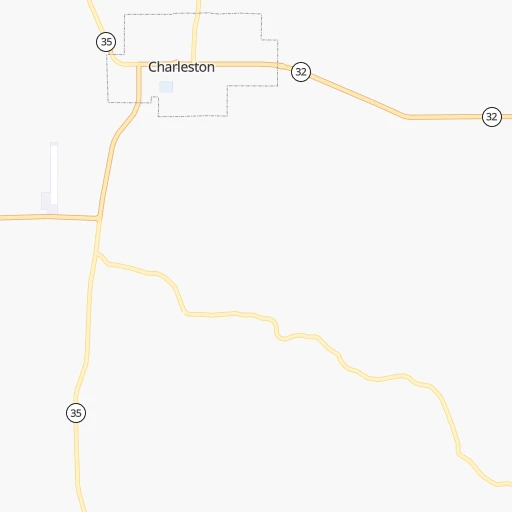
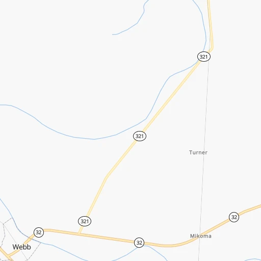
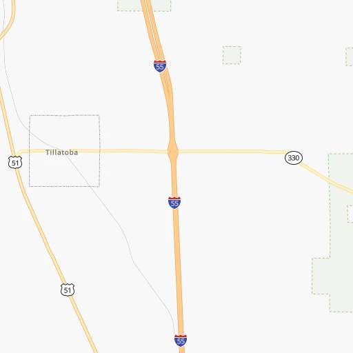
Roadmap (route) to go from Charleston Municipal Airport to Hernando detailed above, you can also see the course layout on the map.
While doing trip Charleston Municipal (airport) - Hernando by car, the calculated route ends at a distance , or more straight.
Distance and duration of the route between Charleston Municipal (airport) and Hernando
Calculation of distance and route from Hernando to Charleston Municipal (airport) :
93.3109.7 km1h13mn
Continue 0h1mn 187 mTurn left onto MS 32 0h1mn 838 mTurn left onto MS 32, MS 35 0h2mn 2.6 kmTurn right onto West Main Street 0h18mn 19.8 kmTurn left 1h50mn 84.1 kmKeep right and drive toward Hermando 0h0mn 444 mTurn left onto East Commerce Street 0h2mn 1.7 kmTurn right onto US 51 0h0mn 49 mArrive at destination 0h0mn 0 m
Travel from Charleston Municipal (airport) (Mississippi) to a selection of major cities.
Distances from Charleston Municipal Airport to biggest cities in Mississippi
- Pascagoula,22,126 inhabitants.428 km
Other major cities in country :
- Charlotte [NC], 827,097 inhabitants. 857 km
- Seattle [WA], 684,451 inhabitants. 3,080 km
- Denver [CO], 682,545 inhabitants. 1,471 km
- El Paso [TX], 681,124 inhabitants. 1,552 km
- Detroit [MI], 677,116 inhabitants. 1,113 km
- Boston [MA], 667,137 inhabitants. 1,901 km
- Memphis [TN], 655,770 inhabitants. 129 km
- New South Memphis [TN], 641,608 inhabitants. 122 km
- Portland [OR], 632,309 inhabitants. 3,044 km
- Oklahoma City [OK], 631,346 inhabitants. 700 km
- Las Vegas [NV], 623,747 inhabitants. 2,289 km
- Baltimore [MD], 621,849 inhabitants. 1,338 km
- Washington, D.C. [DC], 601,723 inhabitants. 1,288 km
- Milwaukee [WI], 600,155 inhabitants. 1,025 km
- South Boston [MA], 571,281 inhabitants. 1,901 km
- Albuquerque [NM], 559,121 inhabitants. 1,523 km
- Tucson [AZ], 531,641 inhabitants. 1,950 km
- Nashville [TN], 530,852 inhabitants. 386 km
- Fresno [CA], 520,052 inhabitants. 2,702 km
- Sacramento [CA], 490,712 inhabitants. 2,851 km
Route from Hernando to major cities (United States).
- Distance Hernando New York City1,549 km
- Distance Hernando Los Angeles2,586 km
- Distance Hernando Chicago808 km
- Distance Hernando Brooklyn1,551 km
- Distance Hernando Houston756 km
- Distance Hernando Queens1,561 km
- Distance Hernando Philadelphia1,428 km
- Distance Hernando Phoenix2,036 km
- Distance Hernando Manhattan1,555 km
- Distance Hernando San Antonio1,001 km
- Distance Hernando San Diego2,518 km
- Distance Hernando The Bronx1,565 km
- Distance Hernando Dallas670 km
- Distance Hernando San Jose2,870 km
- Distance Hernando Austin886 km
- Distance Hernando Jacksonville928 km
- Distance Hernando San Francisco2,913 km
- Distance Hernando Columbus842 km
- Distance Hernando Fort Worth717 km
- Distance Hernando Indianapolis647 km
Nearest cities to Charleston Municipal (airport) :
- Memphis, 655,770 inhabitants. 129 km
- New South Memphis, 641,608 inhabitants. 122 km
- Little Rock, 197,992 inhabitants. 220 km
- Jackson, 170,674 inhabitants. 188 km
- Clarksville, 149,176 inhabitants. 376 km
- Tuscaloosa, 98,332 inhabitants. 248 km
- Jonesboro, 73,907 inhabitants. 214 km
- Jackson, 66,975 inhabitants. 215 km
- North Little Rock, 66,504 inhabitants. 219 km
- Conway, 64,980 inhabitants. 249 km
- Bartlett, 58,579 inhabitants. 137 km
- Southaven, 52,589 inhabitants. 112 km
- Monroe, 49,598 inhabitants. 251 km
- Collierville, 48,863 inhabitants. 123 km
- Alexandria, 47,889 inhabitants. 371 km
- Hattiesburg, 46,805 inhabitants. 305 km
- Pine Bluff, 44,772 inhabitants. 179 km
- Florence, 40,026 inhabitants. 238 km
- Meridian, 39,661 inhabitants. 222 km
- Germantown, 39,240 inhabitants. 125 km
- Olive Branch, 36,010 inhabitants. 111 km
- East Florence, 35,733 inhabitants. 241 km
- Tupelo, 35,680 inhabitants. 130 km
- Hot Springs, 35,635 inhabitants. 280 km
- Hot Springs National Park, 35,193 inhabitants. 281 km
- Benton, 34,177 inhabitants. 239 km
- Hopkinsville, 32,205 inhabitants. 397 km
- Greenville, 32,156 inhabitants. 111 km
- Sherwood, 30,517 inhabitants. 217 km
- Jacksonville, 28,643 inhabitants. 211 km
- Paragould, 27,900 inhabitants. 234 km
- Horn Lake, 26,915 inhabitants. 108 km
- Pearl, 26,462 inhabitants. 191 km
- Madison, 25,799 inhabitants. 170 km
- Cabot, 25,587 inhabitants. 209 km
- Starkville, 25,366 inhabitants. 131 km
- Clinton, 25,254 inhabitants. 185 km
- West Memphis, 25,052 inhabitants. 129 km
- Northport, 24,772 inhabitants. 247 km
- Ridgeland, 24,351 inhabitants. 174 km
- Searcy, 24,196 inhabitants. 207 km
- Brandon, 23,529 inhabitants. 191 km
- Columbus, 23,168 inhabitants. 162 km
- Vicksburg, 23,131 inhabitants. 197 km
- Ruston, 22,340 inhabitants. 289 km
- Oxford, 22,314 inhabitants. 67 km
- Bryant, 19,986 inhabitants. 232 km
- Murray, 18,954 inhabitants. 333 km
- Laurel, 18,837 inhabitants. 270 km
- El Dorado, 18,386 inhabitants. 255 km
Location Charleston Municipal (airport) (Mississippi) :
| Country flag |  |
| Location | Charleston Municipal (airport) |
| State | Mississippi |
| County | Tallahatchie County |
| Country | United States |
| Country code / ISO 2 | US |
| Latitude | 33.9871100 |
| Longitude | -90.0796900 |
| Altitude | 54 meters |
| Time zone | America/Chicago |
Location Hernando (Mississippi) :
| Country flag | |
| Location | Hernando |
| State | Mississippi |
| County | De Soto County |
| Country | United States |
| Country code / ISO 2 | US |
| Latitude | 34.8239900 |
| Longitude | -89.9937000 |
| Altitude | 116 meters |
| Time zone | America/Chicago |


