
Home
››
Brookhaven-Lincoln County Airport
››
Roadmap from Brookhaven-Lincoln County Airport to Laurel
How to get from Brookhaven-Lincoln County (airport) (Mississippi) to Laurel (Mississippi)
Calculate route from Brookhaven-Lincoln County (airport) (Mississippi, United States) to Laurel (Mississippi, United States).
The flight distance (as the crow flies) between Brookhaven-Lincoln County (airport) and Laurel is 121.4 km.
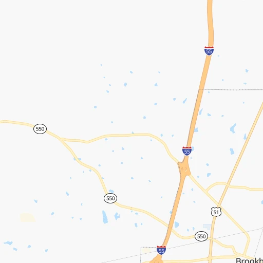
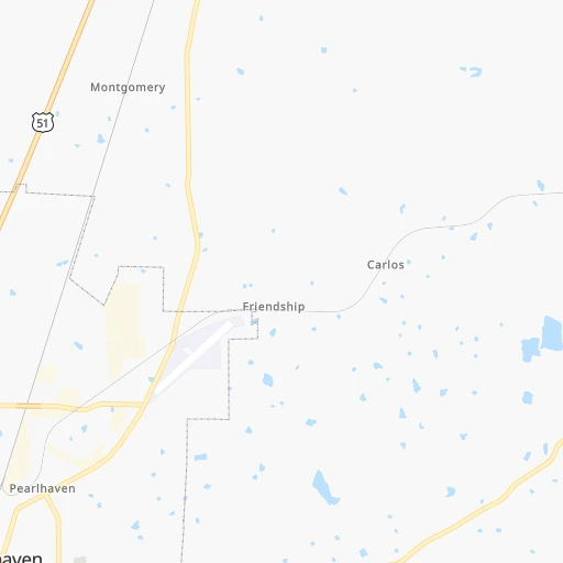
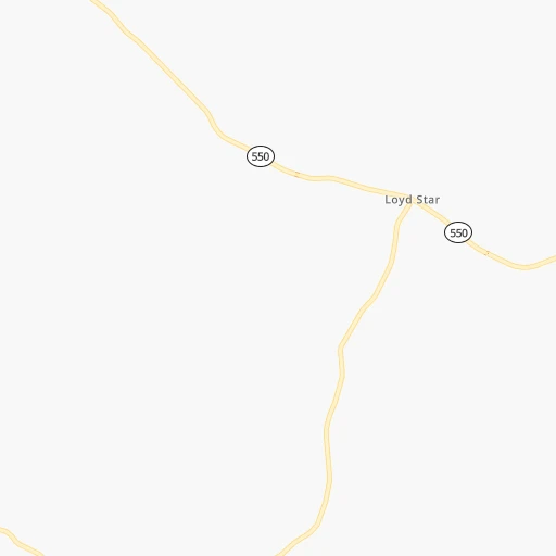
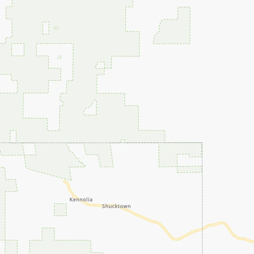
Roadmap (route) to go from Brookhaven-Lincoln County Airport to Laurel detailed above, you can also see the course layout on the map.
While doing trip Brookhaven-Lincoln County (airport) - Laurel by car, the calculated route ends at a distance , or more straight.
Distance and duration of the route between Brookhaven-Lincoln County (airport) and Laurel
Calculation of distance and route from Laurel to Brookhaven-Lincoln County (airport) :
121.4137.5 km2h53mn
Continue 0h0mn 153 mTurn left onto Heucks Retreat Road Northeast 0h0mn 97 mTurn slight left onto Old Highway 51 Northeast 0h4mn 3.0 kmTurn left onto Spruce Street 0h2mn 1.3 kmTurn left onto East Monticello Street 0h6mn 6.3 kmTurn left onto US 84 1h59mn 78.7 kmKeep right 0h4mn 4.6 kmKeep right 1h36mn 41.6 kmContinue onto West 5th Street 0h1mn 1.3 kmAt roundabout, take exit 3 onto Sawmill Road 0h0mn 258 mTurn right onto North 5th Avenue 0h0mn 81 mTurn left onto Yates Avenue 0h0mn 48 mArrive at destination 0h0mn 0 m
Travel from Brookhaven-Lincoln County (airport) (Mississippi) to a selection of major cities.
Distances from Brookhaven-Lincoln County Airport to biggest cities in Mississippi
- Pascagoula,22,126 inhabitants.224 km
Other major cities in country :
- Charlotte [NC], 827,097 inhabitants. 975 km
- Seattle [WA], 684,451 inhabitants. 3,231 km
- Denver [CO], 682,545 inhabitants. 1,596 km
- El Paso [TX], 681,124 inhabitants. 1,522 km
- Detroit [MI], 677,116 inhabitants. 1,360 km
- Boston [MA], 667,137 inhabitants. 2,088 km
- Memphis [TN], 655,770 inhabitants. 396 km
- New South Memphis [TN], 641,608 inhabitants. 389 km
- Portland [OR], 632,309 inhabitants. 3,177 km
- Oklahoma City [OK], 631,346 inhabitants. 787 km
- Las Vegas [NV], 623,747 inhabitants. 2,334 km
- Baltimore [MD], 621,849 inhabitants. 1,513 km
- Washington, D.C. [DC], 601,723 inhabitants. 1,459 km
- Milwaukee [WI], 600,155 inhabitants. 1,292 km
- South Boston [MA], 571,281 inhabitants. 2,087 km
- Albuquerque [NM], 559,121 inhabitants. 1,557 km
- Tucson [AZ], 531,641 inhabitants. 1,937 km
- Nashville [TN], 530,852 inhabitants. 608 km
- Fresno [CA], 520,052 inhabitants. 2,753 km
- Sacramento [CA], 490,712 inhabitants. 2,920 km
Route from Laurel to major cities (United States).
- Distance Laurel New York City1,685 km
- Distance Laurel Los Angeles2,725 km
- Distance Laurel Chicago1,138 km
- Distance Laurel Brooklyn1,686 km
- Distance Laurel Houston634 km
- Distance Laurel Queens1,696 km
- Distance Laurel Philadelphia1,557 km
- Distance Laurel Phoenix2,157 km
- Distance Laurel Manhattan1,692 km
- Distance Laurel San Antonio932 km
- Distance Laurel San Diego2,635 km
- Distance Laurel The Bronx1,703 km
- Distance Laurel Dallas733 km
- Distance Laurel San Jose3,054 km
- Distance Laurel Austin837 km
- Distance Laurel Jacksonville729 km
- Distance Laurel San Francisco3,102 km
- Distance Laurel Columbus1,073 km
- Distance Laurel Fort Worth780 km
- Distance Laurel Indianapolis938 km
Nearest cities to Brookhaven-Lincoln County (airport) :
- New Orleans, 389,617 inhabitants. 187 km
- Baton Rouge, 228,590 inhabitants. 147 km
- Mobile, 194,288 inhabitants. 247 km
- Jackson, 170,674 inhabitants. 80 km
- Metairie Terrace, 142,489 inhabitants. 183 km
- Metairie, 138,481 inhabitants. 182 km
- Lafayette, 127,657 inhabitants. 218 km
- Tuscaloosa, 98,332 inhabitants. 321 km
- Lake Charles, 76,070 inhabitants. 309 km
- Gulfport, 71,856 inhabitants. 187 km
- West Gulfport, 71,329 inhabitants. 184 km
- Kenner, 67,091 inhabitants. 180 km
- Monroe, 49,598 inhabitants. 190 km
- Alexandria, 47,889 inhabitants. 196 km
- Hattiesburg, 46,805 inhabitants. 111 km
- Biloxi, 45,637 inhabitants. 198 km
- Pine Bluff, 44,772 inhabitants. 328 km
- Meridian, 39,661 inhabitants. 182 km
- Tupelo, 35,680 inhabitants. 335 km
- Hot Springs, 35,635 inhabitants. 406 km
- Hot Springs National Park, 35,193 inhabitants. 409 km
- Houma, 34,287 inhabitants. 226 km
- Benton, 34,177 inhabitants. 387 km
- Marrero, 33,141 inhabitants. 192 km
- Greenville, 32,156 inhabitants. 210 km
- New Iberia, 30,754 inhabitants. 224 km
- Laplace, 29,872 inhabitants. 172 km
- Central, 28,295 inhabitants. 132 km
- Slidell, 27,942 inhabitants. 160 km
- Prairieville, 26,895 inhabitants. 155 km
- Pearl, 26,462 inhabitants. 79 km
- Madison, 25,799 inhabitants. 99 km
- Starkville, 25,366 inhabitants. 254 km
- Clinton, 25,254 inhabitants. 82 km
- Daphne, 24,896 inhabitants. 264 km
- Northport, 24,772 inhabitants. 322 km
- Ridgeland, 24,351 inhabitants. 95 km
- Brandon, 23,529 inhabitants. 84 km
- Terrytown, 23,319 inhabitants. 192 km
- Columbus, 23,168 inhabitants. 281 km
- Vicksburg, 23,131 inhabitants. 94 km
- Prichard, 22,351 inhabitants. 242 km
- Ruston, 22,340 inhabitants. 234 km
- Oxford, 22,314 inhabitants. 318 km
- Pascagoula, 22,126 inhabitants. 224 km
- Hammond, 20,480 inhabitants. 123 km
- Harvey, 20,348 inhabitants. 192 km
- Sulphur, 20,189 inhabitants. 322 km
- Bryant, 19,986 inhabitants. 385 km
- Bayou Cane, 19,355 inhabitants. 223 km
Location Brookhaven-Lincoln County (airport) (Mississippi) :
| Country flag |  |
| Location | Brookhaven-Lincoln County (airport) |
| State | Mississippi |
| County | Lincoln County |
| Country | United States |
| Country code / ISO 2 | US |
| Latitude | 31.6067800 |
| Longitude | -90.4097500 |
| Altitude | 148 meters |
| Time zone | America/Chicago |
Location Laurel (Mississippi) :
| Country flag | |
| Location | Laurel |
| State | Mississippi |
| County | Jones County |
| Country | United States |
| Country code / ISO 2 | US |
| Latitude | 31.6940500 |
| Longitude | -89.1306100 |
| Altitude | 82 meters |
| Time zone | America/Chicago |

