
How to get from Cape Girardeau (Missouri) to Saint Joseph (Missouri)
Calculate route from Cape Girardeau (Missouri, United States) to Saint Joseph (Missouri, United States).
The flight distance (as the crow flies) between Cape Girardeau and Saint Joseph is 537.8 km.
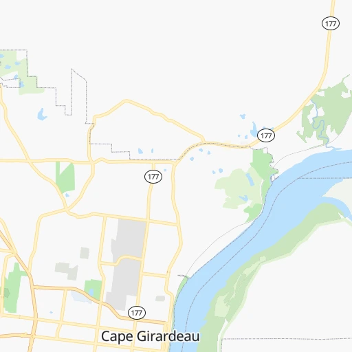
Roadmap (route) to go from Cape Girardeau to Saint Joseph detailed above, you can also see the course layout on the map.
While doing trip Cape Girardeau - Saint Joseph by car, the calculated route ends at a distance , or more straight.
Distance and duration of the route between Cape Girardeau and Saint Joseph
Calculation of distance and route from Saint Joseph to Cape Girardeau :
537.8643.5 km7h42mn
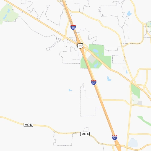
Continue onto Broadway Street 0h3mn 3.3 kmTurn right onto North Kingshighway 0h5mn 5.8 kmKeep right and take I 55 North toward Saint Louis 1h27mn 148.2 kmKeep right and take MO 141 toward Arnold 0h0mn 299 mKeep left and take MO 141 North toward Arnold 0h11mn 14.3 kmKeep right onto MO 141 0h13mn 15.4 kmKeep left and take I 64 West, US 40 West, US 61 North toward Wentzville 0h24mn 36.2 kmKeep left onto US 40 and take I 70 West, US 40 West toward Kansas City 3h20mn 333.4 kmKeep left onto I 670, I 70 Alt and take I 670 West, I 70 Alternate, I 35 South toward Topeka, Wichita 0h0mn 376 mKeep right and drive toward 13th Street, Downtown 0h0mn 275 mTurn right onto Charlotte Street 0h1mn 978 mTurn left onto Independence Avenue 0h1mn 605 mContinue and take MO 9 North toward North Kansas City 0h6mn 5.7 kmKeep right and take US 169 North toward Smithville 0h2mn 2.5 kmKeep left and take I 29 North, US 71 North toward K.C.I. Airport, Saint Joseph 0h15mn 23.6 kmKeep left onto I 29, US 71 and take I 29 North, US 71 North toward Saint Joseph 0h25mn 41.9 kmKeep right and take I 229 North toward Downtown Saint Joseph 0h4mn 6.3 kmKeep right 0h0mn 189 mTurn sharp right onto East Lake Boulevard 0h0mn 115 mTurn left onto South 11th Street Road 0h1mn 889 mTurn left onto Garfield Avenue 0h0mn 145 mTurn right onto South 10th Street 0h3mn 2.9 kmTurn right onto Frederick Avenue 0h0mn 115 mKeep right onto Walter Welsh Avenue 0h0mn 42 mArrive at destination 0h0mn 0 m
Travel from Cape Girardeau (Missouri) to a selection of major cities.
Distances from Cape Girardeau to biggest cities in Missouri
- Ballwin,30,577 inhabitants.170 km
- Liberty,30,450 inhabitants.480 km
- Raytown,29,401 inhabitants.472 km
- Mehlville,28,380 inhabitants.151 km
- Kirkwood,27,750 inhabitants.162 km
- Maryland Heights,27,389 inhabitants.176 km
- Gladstone,26,861 inhabitants.488 km
- Hazelwood,25,661 inhabitants.179 km
- Grandview,25,256 inhabitants.473 km
- Webster Groves,23,177 inhabitants.161 km
- Belton,23,168 inhabitants.470 km
- Sedalia,21,516 inhabitants.361 km
- Arnold,21,357 inhabitants.146 km
- Ferguson,21,059 inhabitants.174 km
- Nixa,20,984 inhabitants.336 km
- Raymore,20,374 inhabitants.463 km
- Affton,20,307 inhabitants.156 km
- Rolla,20,019 inhabitants.211 km
Other major cities in country :
- Charlotte [NC], 827,097 inhabitants. 812 km
- Seattle [WA], 684,451 inhabitants. 2,901 km
- Denver [CO], 682,545 inhabitants. 1,372 km
- El Paso [TX], 681,124 inhabitants. 1,671 km
- Detroit [MI], 677,116 inhabitants. 786 km
- Boston [MA], 667,137 inhabitants. 1,671 km
- Memphis [TN], 655,770 inhabitants. 245 km
- New South Memphis [TN], 641,608 inhabitants. 252 km
- Portland [OR], 632,309 inhabitants. 2,891 km
- Oklahoma City [OK], 631,346 inhabitants. 745 km
- Las Vegas [NV], 623,747 inhabitants. 2,282 km
- Baltimore [MD], 621,849 inhabitants. 1,148 km
- Washington, D.C. [DC], 601,723 inhabitants. 1,107 km
- Milwaukee [WI], 600,155 inhabitants. 653 km
- South Boston [MA], 571,281 inhabitants. 1,671 km
- Albuquerque [NM], 559,121 inhabitants. 1,557 km
- Tucson [AZ], 531,641 inhabitants. 2,033 km
- Nashville [TN], 530,852 inhabitants. 275 km
- Fresno [CA], 520,052 inhabitants. 2,678 km
- Sacramento [CA], 490,712 inhabitants. 2,797 km
Route from Saint Joseph to major cities (United States).
- Distance Saint Joseph New York City1,770 km
- Distance Saint Joseph Los Angeles2,170 km
- Distance Saint Joseph Chicago649 km
- Distance Saint Joseph Brooklyn1,775 km
- Distance Saint Joseph Houston1,115 km
- Distance Saint Joseph Queens1,784 km
- Distance Saint Joseph Philadelphia1,679 km
- Distance Saint Joseph Phoenix1,689 km
- Distance Saint Joseph Manhattan1,773 km
- Distance Saint Joseph San Antonio1,199 km
- Distance Saint Joseph San Diego2,145 km
- Distance Saint Joseph The Bronx1,781 km
- Distance Saint Joseph Dallas797 km
- Distance Saint Joseph San Jose2,361 km
- Distance Saint Joseph Austin1,090 km
- Distance Saint Joseph Jacksonville1,593 km
- Distance Saint Joseph San Francisco2,394 km
- Distance Saint Joseph Columbus1,012 km
- Distance Saint Joseph Fort Worth815 km
- Distance Saint Joseph Indianapolis743 km
Nearest cities to Cape Girardeau :
- Memphis, 655,770 inhabitants. 245 km
- New South Memphis, 641,608 inhabitants. 252 km
- Nashville, 530,852 inhabitants. 275 km
- St. Louis, 315,685 inhabitants. 159 km
- Little Rock, 197,992 inhabitants. 379 km
- Huntsville, 190,582 inhabitants. 390 km
- Clarksville, 149,176 inhabitants. 211 km
- Evansville, 119,943 inhabitants. 188 km
- Columbia, 119,108 inhabitants. 307 km
- Springfield, 116,565 inhabitants. 278 km
- Champaign, 86,096 inhabitants. 332 km
- O'Fallon, 85,040 inhabitants. 197 km
- Bloomington, 84,067 inhabitants. 334 km
- Jonesboro, 73,907 inhabitants. 194 km
- Decatur, 73,254 inhabitants. 286 km
- Franklin, 72,639 inhabitants. 282 km
- Jackson, 66,975 inhabitants. 199 km
- North Little Rock, 66,504 inhabitants. 375 km
- Saint Charles, 65,794 inhabitants. 185 km
- Conway, 64,980 inhabitants. 360 km
- Terre Haute, 60,825 inhabitants. 303 km
- Owensboro, 59,042 inhabitants. 219 km
- Bartlett, 58,579 inhabitants. 236 km
- Hendersonville, 56,018 inhabitants. 281 km
- Decatur, 55,437 inhabitants. 377 km
- Southaven, 52,589 inhabitants. 262 km
- Saint Peters, 52,575 inhabitants. 193 km
- Florissant, 52,268 inhabitants. 180 km
- Collierville, 48,863 inhabitants. 252 km
- Chesterfield, 47,864 inhabitants. 177 km
- Madison, 46,962 inhabitants. 383 km
- Smyrna, 46,607 inhabitants. 306 km
- Jefferson City, 43,169 inhabitants. 273 km
- Urbana, 42,311 inhabitants. 332 km
- Belleville, 42,034 inhabitants. 141 km
- Brentwood, 41,763 inhabitants. 282 km
- Quincy, 40,780 inhabitants. 336 km
- Florence, 40,026 inhabitants. 324 km
- Cape Girardeau, 39,462 inhabitants. 0 km
- Germantown, 39,240 inhabitants. 248 km
- Columbia, 36,800 inhabitants. 291 km
- Oakville, 36,143 inhabitants. 147 km
- Spring Hill, 36,055 inhabitants. 289 km
- Olive Branch, 36,010 inhabitants. 262 km
- Wildwood, 35,899 inhabitants. 174 km
- East Florence, 35,733 inhabitants. 325 km
- Wentzville, 35,603 inhabitants. 204 km
- University City, 35,058 inhabitants. 166 km
- La Vergne, 34,794 inhabitants. 299 km
- Hopkinsville, 32,205 inhabitants. 187 km
Location Cape Girardeau (Missouri) :
| Country flag |  |
| Location | Cape Girardeau |
| State | Missouri |
| County | Cape Girardeau County |
| Country | United States |
| Country code / ISO 2 | US |
| Latitude | 37.3058800 |
| Longitude | -89.5181500 |
| Altitude | 108 meters |
| Time zone | America/Chicago |
Location Saint Joseph (Missouri) :
| Country flag | |
| Location | Saint Joseph |
| State | Missouri |
| County | Buchanan County |
| Country | United States |
| Country code / ISO 2 | US |
| Latitude | 39.7686100 |
| Longitude | -94.8466300 |
| Altitude | 270 meters |
| Time zone | America/Chicago |


