
How to get from Madisonville Municipal (airport) (Kentucky) to Winchester (Kentucky)
Calculate route from Madisonville Municipal (airport) (Kentucky, United States) to Winchester (Kentucky, United States).
The flight distance (as the crow flies) between Madisonville Municipal (airport) and Winchester is 291.9 km.
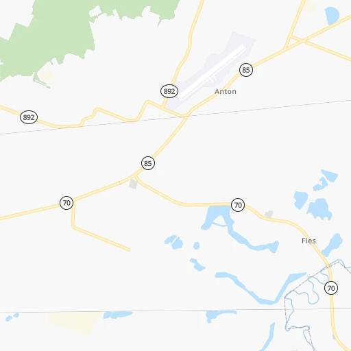
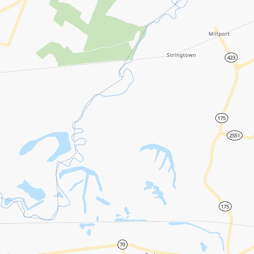
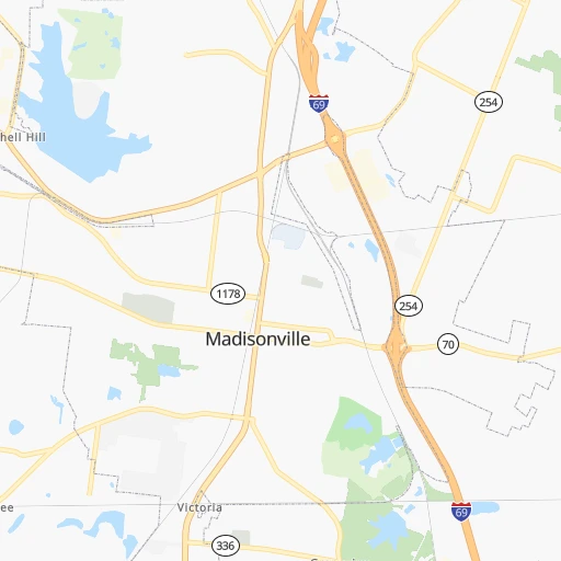
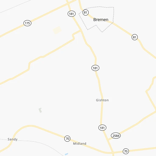
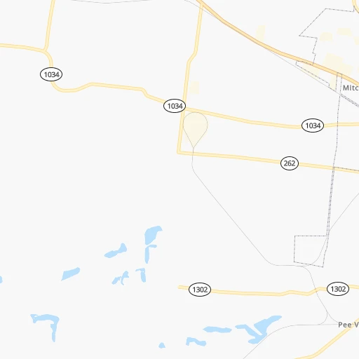
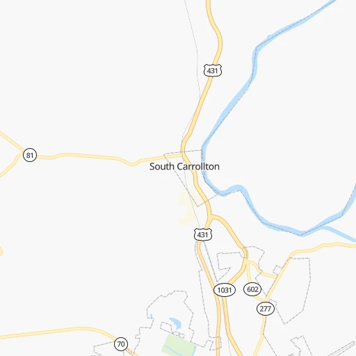
Roadmap (route) to go from Madisonville Municipal Airport to Winchester detailed above, you can also see the course layout on the map.
While doing trip Madisonville Municipal (airport) - Winchester by car, the calculated route ends at a distance , or more straight.
Distance and duration of the route between Madisonville Municipal (airport) and Winchester
Calculation of distance and route from Winchester to Madisonville Municipal (airport) :
291.9325.7 km4h46mn
Continue 0h1mn 433 mTurn slight right onto Cr-1015 0h0mn 22 mTurn right onto Anton Road 0h0mn 14 mTurn left onto Neelie Webb Road 0h5mn 2.7 kmTurn left onto Central City Road 0h28mn 28.1 kmTurn left onto West Reservoir Avenue 0h0mn 56 mTurn right onto Broad Street 0h0mn 450 mTurn right onto South 2nd Street 0h2mn 2.0 kmTurn right 1h16mn 127.1 kmKeep right and take I 65 North toward Lexington, Louisville 0h1mn 596 mKeep left and take I 65 North toward Lexington, Louisville 0h2mn 3.1 kmKeep right and drive toward Lexington, Bardstown 1h8mn 114.6 kmKeep right and take US 60 East toward Lexington 0h8mn 10.3 kmContinue onto Versailles Road 0h2mn 2.1 kmTurn slight right onto Versailles Road 0h4mn 3.6 kmTurn left onto South Broadway 0h0mn 401 mTurn right onto West Vine Street 0h1mn 1.2 kmKeep left onto East Vine Street 0h26mn 28.6 kmTurn right onto South Maple Street 0h0mn 254 mTurn left onto Boone Avenue 0h0mn 78 mTurn left onto Wall Alley 0h0mn 11 mArrive at destination 0h0mn 0 m
Travel from Madisonville Municipal (airport) (Kentucky) to a selection of major cities.
Distances from Madisonville Municipal Airport to biggest cities in Kentucky
- Valley Station,22,756 inhabitants.159 km
- Radcliff,22,387 inhabitants.139 km
- Ashland,21,108 inhabitants.436 km
Other major cities in country :
- Charlotte [NC], 827,097 inhabitants. 634 km
- Seattle [WA], 684,451 inhabitants. 3,055 km
- Denver [CO], 682,545 inhabitants. 1,551 km
- El Paso [TX], 681,124 inhabitants. 1,853 km
- Detroit [MI], 677,116 inhabitants. 667 km
- Boston [MA], 667,137 inhabitants. 1,500 km
- Memphis [TN], 655,770 inhabitants. 342 km
- New South Memphis [TN], 641,608 inhabitants. 347 km
- Portland [OR], 632,309 inhabitants. 3,053 km
- Oklahoma City [OK], 631,346 inhabitants. 930 km
- Las Vegas [NV], 623,747 inhabitants. 2,468 km
- Baltimore [MD], 621,849 inhabitants. 966 km
- Washington, D.C. [DC], 601,723 inhabitants. 923 km
- Milwaukee [WI], 600,155 inhabitants. 634 km
- South Boston [MA], 571,281 inhabitants. 1,500 km
- Albuquerque [NM], 559,121 inhabitants. 1,744 km
- Tucson [AZ], 531,641 inhabitants. 2,219 km
- Nashville [TN], 530,852 inhabitants. 143 km
- Fresno [CA], 520,052 inhabitants. 2,863 km
- Sacramento [CA], 490,712 inhabitants. 2,978 km
Route from Winchester to major cities (United States).
- Distance Winchester New York City926 km
- Distance Winchester Los Angeles3,081 km
- Distance Winchester Chicago522 km
- Distance Winchester Brooklyn929 km
- Distance Winchester Houston1,379 km
- Distance Winchester Queens939 km
- Distance Winchester Philadelphia810 km
- Distance Winchester Phoenix2,561 km
- Distance Winchester Manhattan931 km
- Distance Winchester San Antonio1,630 km
- Distance Winchester San Diego3,035 km
- Distance Winchester The Bronx942 km
- Distance Winchester Dallas1,283 km
- Distance Winchester San Jose3,301 km
- Distance Winchester Austin1,514 km
- Distance Winchester Jacksonville883 km
- Distance Winchester San Francisco3,336 km
- Distance Winchester Columbus242 km
- Distance Winchester Fort Worth1,327 km
- Distance Winchester Indianapolis262 km
Nearest cities to Madisonville Municipal (airport) :
- Indianapolis, 829,718 inhabitants. 290 km
- Memphis, 655,770 inhabitants. 342 km
- New South Memphis, 641,608 inhabitants. 347 km
- Nashville, 530,852 inhabitants. 143 km
- St. Louis, 315,685 inhabitants. 283 km
- Lexington-Fayette, 314,488 inhabitants. 270 km
- Cincinnati, 296,943 inhabitants. 320 km
- Louisville, 243,639 inhabitants. 176 km
- Lexington, 225,366 inhabitants. 267 km
- Huntsville, 190,582 inhabitants. 301 km
- Chattanooga, 176,588 inhabitants. 318 km
- East Chattanooga, 154,024 inhabitants. 320 km
- Clarksville, 149,176 inhabitants. 92 km
- Murfreesboro, 126,118 inhabitants. 191 km
- Evansville, 119,943 inhabitants. 70 km
- Springfield, 116,565 inhabitants. 335 km
- Carmel, 88,713 inhabitants. 313 km
- Champaign, 86,096 inhabitants. 316 km
- Bloomington, 84,067 inhabitants. 215 km
- Fishers, 76,794 inhabitants. 314 km
- Decatur, 73,254 inhabitants. 308 km
- Franklin, 72,639 inhabitants. 166 km
- Muncie, 70,087 inhabitants. 361 km
- Jackson, 66,975 inhabitants. 231 km
- Bowling Green, 63,616 inhabitants. 94 km
- Hamilton, 62,407 inhabitants. 336 km
- Terre Haute, 60,825 inhabitants. 235 km
- Noblesville, 59,093 inhabitants. 323 km
- Owensboro, 59,042 inhabitants. 53 km
- Bartlett, 58,579 inhabitants. 326 km
- Hendersonville, 56,018 inhabitants. 136 km
- Greenwood, 55,586 inhabitants. 276 km
- Decatur, 55,437 inhabitants. 308 km
- Anderson, 55,305 inhabitants. 341 km
- Southaven, 52,589 inhabitants. 353 km
- Florissant, 52,268 inhabitants. 302 km
- Collierville, 48,863 inhabitants. 328 km
- Lawrence, 47,809 inhabitants. 301 km
- Madison, 46,962 inhabitants. 301 km
- Jeffersonville, 46,960 inhabitants. 179 km
- Columbus, 46,690 inhabitants. 243 km
- Smyrna, 46,607 inhabitants. 172 km
- Cleveland, 43,898 inhabitants. 333 km
- Fairfield, 42,767 inhabitants. 332 km
- Urbana, 42,311 inhabitants. 315 km
- Belleville, 42,034 inhabitants. 261 km
- Brentwood, 41,763 inhabitants. 157 km
- Covington, 40,997 inhabitants. 318 km
- Florence, 40,026 inhabitants. 286 km
- Cape Girardeau, 39,462 inhabitants. 188 km
Location Madisonville Municipal (airport) (Kentucky) :
| Country flag |  |
| Location | Madisonville Municipal (airport) |
| State | Kentucky |
| County | Hopkins County |
| Country | United States |
| Country code / ISO 2 | US |
| Latitude | 37.3550300 |
| Longitude | -87.3996400 |
| Altitude | 127 meters |
| Time zone | America/Chicago |
Location Winchester (Kentucky) :
| Country flag | |
| Location | Winchester |
| State | Kentucky |
| County | Clark County |
| Country | United States |
| Country code / ISO 2 | US |
| Latitude | 37.9900800 |
| Longitude | -84.1796500 |
| Altitude | 303 meters |
| Time zone | America/New_York |
