
How to get from Breckinridge County (airport) (Kentucky) to Fern Creek (Kentucky)
Calculate route from Breckinridge County (airport) (Kentucky, United States) to Fern Creek (Kentucky, United States).
The flight distance (as the crow flies) between Breckinridge County (airport) and Fern Creek is 85.6 km.
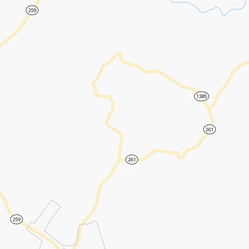
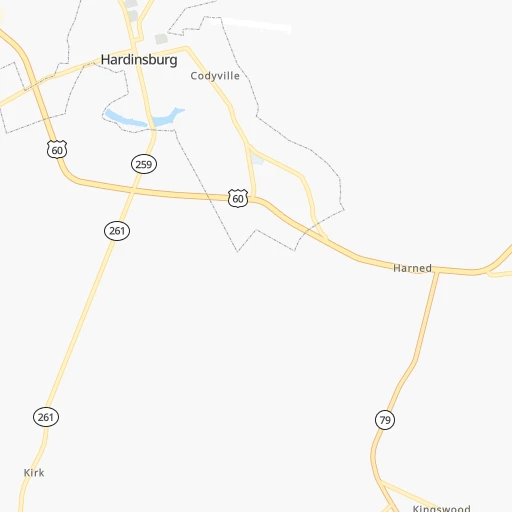
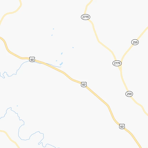
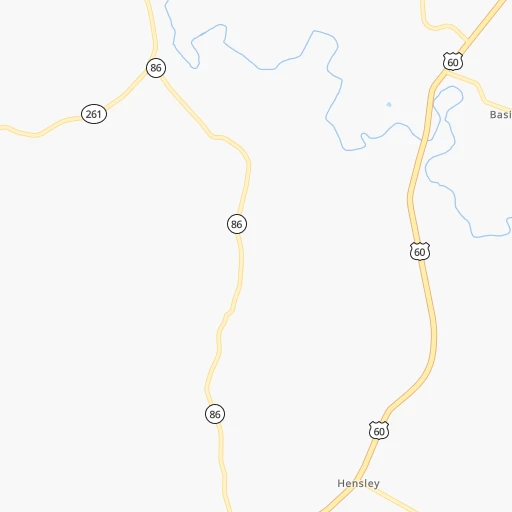
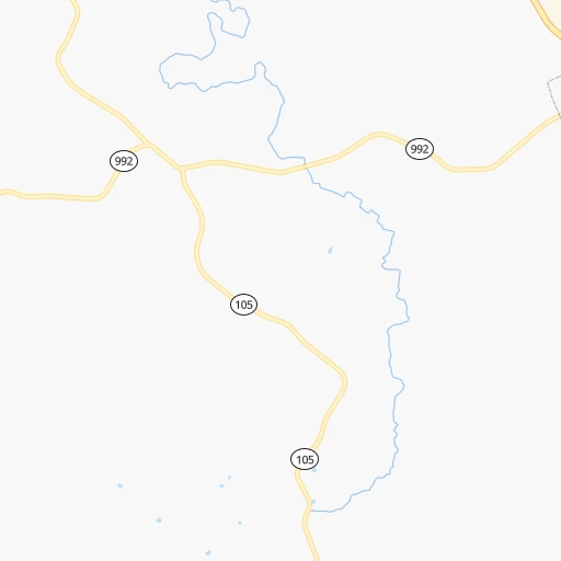
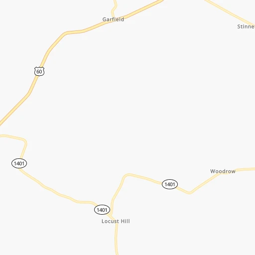
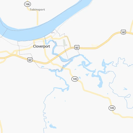
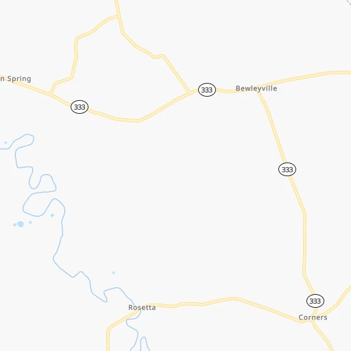
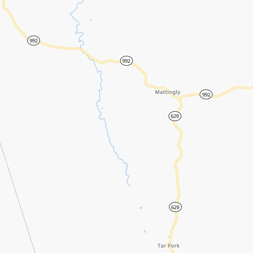
Roadmap (route) to go from Breckinridge County Airport to Fern Creek detailed above, you can also see the course layout on the map.
While doing trip Breckinridge County (airport) - Fern Creek by car, the calculated route ends at a distance , or more straight.
Distance and duration of the route between Breckinridge County (airport) and Fern Creek
Calculation of distance and route from Fern Creek to Breckinridge County (airport) :
85.6106.0 km1h28mn
Continue 0h1mn 538 mTurn slight left onto Oak Street 0h1mn 383 mTurn left onto State Highway N259 0h2mn 2.0 kmTurn left onto US 60, KY 259 1h31mn 36.2 kmTurn left onto KY 1238 0h9mn 9.1 kmTurn sharp right onto Old Mill Road 0h6mn 6.4 kmTurn left onto Dixie Highway 0h17mn 20.6 kmKeep right and take KY 841 East toward Gene Snyder Freeway 0h18mn 27.5 kmKeep right and take US 31E, US 150 toward Louisville, Bardstown 0h1mn 671 mTurn left onto Bardstown Road 0h2mn 2.2 kmTurn right onto Fern Creek Road 0h0mn 232 mTurn left onto Fern Creek Road 0h0mn 164 mTurn right onto Fern Creek Road 0h0mn 28 mArrive at destination 0h0mn 0 m
Travel from Breckinridge County (airport) (Kentucky) to a selection of major cities.
Distances from Breckinridge County Airport to biggest cities in Kentucky
- Valley Station,22,756 inhabitants.62 km
- Radcliff,22,387 inhabitants.44 km
- Ashland,21,108 inhabitants.342 km
Other major cities in country :
- Charlotte [NC], 827,097 inhabitants. 576 km
- Seattle [WA], 684,451 inhabitants. 3,100 km
- Denver [CO], 682,545 inhabitants. 1,621 km
- El Paso [TX], 681,124 inhabitants. 1,947 km
- Detroit [MI], 677,116 inhabitants. 583 km
- Boston [MA], 667,137 inhabitants. 1,403 km
- Memphis [TN], 655,770 inhabitants. 436 km
- New South Memphis [TN], 641,608 inhabitants. 442 km
- Portland [OR], 632,309 inhabitants. 3,105 km
- Oklahoma City [OK], 631,346 inhabitants. 1,022 km
- Las Vegas [NV], 623,747 inhabitants. 2,548 km
- Baltimore [MD], 621,849 inhabitants. 872 km
- Washington, D.C. [DC], 601,723 inhabitants. 830 km
- Milwaukee [WI], 600,155 inhabitants. 598 km
- South Boston [MA], 571,281 inhabitants. 1,403 km
- Albuquerque [NM], 559,121 inhabitants. 1,831 km
- Tucson [AZ], 531,641 inhabitants. 2,309 km
- Nashville [TN], 530,852 inhabitants. 183 km
- Fresno [CA], 520,052 inhabitants. 2,939 km
- Sacramento [CA], 490,712 inhabitants. 3,050 km
Route from Fern Creek to major cities (United States).
- Distance Fern Creek New York City1,035 km
- Distance Fern Creek Los Angeles2,957 km
- Distance Fern Creek Chicago447 km
- Distance Fern Creek Brooklyn1,038 km
- Distance Fern Creek Houston1,298 km
- Distance Fern Creek Queens1,048 km
- Distance Fern Creek Philadelphia922 km
- Distance Fern Creek Phoenix2,439 km
- Distance Fern Creek Manhattan1,040 km
- Distance Fern Creek San Antonio1,537 km
- Distance Fern Creek San Diego2,913 km
- Distance Fern Creek The Bronx1,049 km
- Distance Fern Creek Dallas1,179 km
- Distance Fern Creek San Jose3,176 km
- Distance Fern Creek Austin1,420 km
- Distance Fern Creek Jacksonville943 km
- Distance Fern Creek San Francisco3,211 km
- Distance Fern Creek Columbus300 km
- Distance Fern Creek Fort Worth1,223 km
- Distance Fern Creek Indianapolis186 km
Nearest cities to Breckinridge County (airport) :
- Indianapolis, 829,718 inhabitants. 222 km
- Nashville, 530,852 inhabitants. 183 km
- Lexington-Fayette, 314,488 inhabitants. 177 km
- Cincinnati, 296,943 inhabitants. 225 km
- Louisville, 243,639 inhabitants. 79 km
- Lexington, 225,366 inhabitants. 174 km
- Knoxville, 185,291 inhabitants. 303 km
- Chattanooga, 176,588 inhabitants. 321 km
- East Chattanooga, 154,024 inhabitants. 321 km
- Clarksville, 149,176 inhabitants. 162 km
- Dayton, 140,599 inhabitants. 294 km
- Murfreesboro, 126,118 inhabitants. 216 km
- Evansville, 119,943 inhabitants. 100 km
- Carmel, 88,713 inhabitants. 246 km
- Champaign, 86,096 inhabitants. 303 km
- Bloomington, 84,067 inhabitants. 154 km
- Bloomington, 78,292 inhabitants. 373 km
- Fishers, 76,794 inhabitants. 244 km
- Decatur, 73,254 inhabitants. 316 km
- Franklin, 72,639 inhabitants. 210 km
- Lafayette, 71,111 inhabitants. 295 km
- Muncie, 70,087 inhabitants. 283 km
- Jackson, 66,975 inhabitants. 321 km
- Bowling Green, 63,616 inhabitants. 88 km
- Hamilton, 62,407 inhabitants. 243 km
- Terre Haute, 60,825 inhabitants. 205 km
- Springfield, 59,680 inhabitants. 330 km
- Noblesville, 59,093 inhabitants. 254 km
- Owensboro, 59,042 inhabitants. 59 km
- Kokomo, 57,995 inhabitants. 302 km
- Hendersonville, 56,018 inhabitants. 166 km
- Greenwood, 55,586 inhabitants. 206 km
- Kettering, 55,525 inhabitants. 290 km
- Anderson, 55,305 inhabitants. 267 km
- Normal, 54,373 inhabitants. 375 km
- Middletown, 48,760 inhabitants. 262 km
- Lawrence, 47,809 inhabitants. 231 km
- Jeffersonville, 46,960 inhabitants. 83 km
- Columbus, 46,690 inhabitants. 164 km
- Smyrna, 46,607 inhabitants. 201 km
- Beavercreek, 46,277 inhabitants. 298 km
- West Lafayette, 45,550 inhabitants. 297 km
- Cleveland, 43,898 inhabitants. 324 km
- Fairfield, 42,767 inhabitants. 239 km
- Urbana, 42,311 inhabitants. 301 km
- Brentwood, 41,763 inhabitants. 197 km
- Covington, 40,997 inhabitants. 222 km
- Florence, 40,026 inhabitants. 350 km
- Huber Heights, 38,176 inhabitants. 305 km
- Lima, 37,873 inhabitants. 386 km
Location Breckinridge County (airport) (Kentucky) :
| Country flag |  |
| Location | Breckinridge County (airport) |
| State | Kentucky |
| County | Breckinridge County |
| Country | United States |
| Country code / ISO 2 | US |
| Latitude | 37.7848400 |
| Longitude | -86.4415800 |
| Altitude | 219 meters |
| Time zone | America/Chicago |
Location Fern Creek (Kentucky) :
| Country flag | |
| Location | Fern Creek |
| State | Kentucky |
| County | Jefferson County |
| Country | United States |
| Country code / ISO 2 | US |
| Latitude | 38.1597900 |
| Longitude | -85.5877400 |
| Altitude | 216 meters |
| Time zone | America/Kentucky/Louisville |


