

How to get from Pittsburg (Kansas) to Emporia (Kansas)
Calculate route from Pittsburg (Kansas, United States) to Emporia (Kansas, United States).
The flight distance (as the crow flies) between Pittsburg and Emporia is 170.1 km.
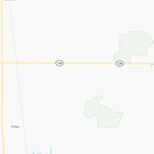
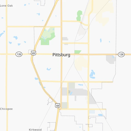
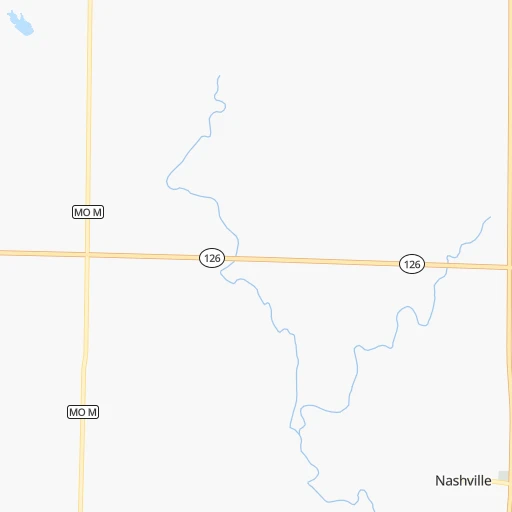
Roadmap (route) to go from Pittsburg to Emporia detailed above, you can also see the course layout on the map.
While doing trip Pittsburg - Emporia by car, the calculated route ends at a distance , or more straight.
Distance and duration of the route between Pittsburg and Emporia
Calculation of distance and route from Emporia to Pittsburg :
170.1242.0 km3h59mn
Continue onto North Broadway Street 0h0mn 20 mTurn left onto West 4th Street 0h0mn 133 mTurn right onto North Pine Street 0h2mn 1.6 kmTurn right onto West 20th Street 0h0mn 135 mTurn left onto North Broadway Street 0h2mn 1.6 kmContinue onto Parkview Drive 0h6mn 8.1 kmTurn left onto East 620th Avenue 1h46mn 49.9 kmTurn right onto Pratt Road 0h1mn 1.5 kmTurn left onto 110th Road and take KS 47 West toward Freedonia 0h18mn 17.7 kmTurn right onto US 169 and take US 169 North toward Iola 0h11mn 17.6 kmKeep right toward KS 39 0h0mn 355 mTurn left onto KS 39 0h11mn 17.0 kmTurn right onto US 75, KS 39 and take KS 39 West, US 75 North toward Yates Center 1h57mn 85.9 kmTurn sharp left 0h20mn 35.6 kmKeep right onto US 50 and drive toward US 50 West, 6th Avenue 0h0mn 228 mKeep left onto US 50 0h0mn 101 mTurn left onto US 50 0h4mn 4.2 kmTurn left onto Merchant Street 0h0mn 134 mTurn right onto West 5th Avenue 0h0mn 18 mArrive at destination 0h0mn 0 m
Travel from Pittsburg (Kansas) to a selection of major cities.
Distances from Pittsburg to biggest cities in Kansas
Other major cities in country :
- Charlotte [NC], 827,097 inhabitants. 1,266 km
- Seattle [WA], 684,451 inhabitants. 2,517 km
- Denver [CO], 682,545 inhabitants. 931 km
- El Paso [TX], 681,124 inhabitants. 1,248 km
- Detroit [MI], 677,116 inhabitants. 1,135 km
- Boston [MA], 667,137 inhabitants. 2,086 km
- Memphis [TN], 655,770 inhabitants. 488 km
- New South Memphis [TN], 641,608 inhabitants. 491 km
- Portland [OR], 632,309 inhabitants. 2,486 km
- Oklahoma City [OK], 631,346 inhabitants. 332 km
- Las Vegas [NV], 623,747 inhabitants. 1,823 km
- Baltimore [MD], 621,849 inhabitants. 1,591 km
- Washington, D.C. [DC], 601,723 inhabitants. 1,553 km
- Milwaukee [WI], 600,155 inhabitants. 852 km
- South Boston [MA], 571,281 inhabitants. 2,086 km
- Albuquerque [NM], 559,121 inhabitants. 1,102 km
- Tucson [AZ], 531,641 inhabitants. 1,588 km
- Nashville [TN], 530,852 inhabitants. 719 km
- Fresno [CA], 520,052 inhabitants. 2,221 km
- Sacramento [CA], 490,712 inhabitants. 2,345 km
Route from Emporia to major cities (United States).
- Distance Emporia New York City1,915 km
- Distance Emporia Los Angeles2,034 km
- Distance Emporia Chicago821 km
- Distance Emporia Brooklyn1,920 km
- Distance Emporia Houston965 km
- Distance Emporia Queens1,930 km
- Distance Emporia Philadelphia1,818 km
- Distance Emporia Phoenix1,533 km
- Distance Emporia Manhattan1,919 km
- Distance Emporia San Antonio1,022 km
- Distance Emporia San Diego1,998 km
- Distance Emporia The Bronx1,927 km
- Distance Emporia Dallas628 km
- Distance Emporia San Jose2,255 km
- Distance Emporia Austin917 km
- Distance Emporia Jacksonville1,606 km
- Distance Emporia San Francisco2,292 km
- Distance Emporia Columbus1,150 km
- Distance Emporia Fort Worth640 km
- Distance Emporia Indianapolis879 km
Nearest cities to Pittsburg :
- Oklahoma City, 631,346 inhabitants. 332 km
- Kansas City, 475,378 inhabitants. 188 km
- Tulsa, 403,505 inhabitants. 181 km
- Wichita, 389,965 inhabitants. 234 km
- Little Rock, 197,992 inhabitants. 368 km
- Overland Park, 186,515 inhabitants. 175 km
- Springfield, 166,810 inhabitants. 126 km
- Kansas City, 151,306 inhabitants. 190 km
- Olathe, 134,305 inhabitants. 164 km
- Topeka, 127,265 inhabitants. 201 km
- Norman, 120,284 inhabitants. 346 km
- Columbia, 119,108 inhabitants. 269 km
- Independence, 117,255 inhabitants. 189 km
- East Independence, 110,675 inhabitants. 190 km
- Broken Arrow, 106,563 inhabitants. 180 km
- Lee's Summit, 95,094 inhabitants. 169 km
- Lawrence, 93,917 inhabitants. 180 km
- Edmond, 90,092 inhabitants. 316 km
- Fort Smith, 88,194 inhabitants. 227 km
- Fayetteville, 82,830 inhabitants. 158 km
- Springdale, 77,859 inhabitants. 146 km
- Saint Joseph, 76,780 inhabitants. 263 km
- North Little Rock, 66,504 inhabitants. 367 km
- Shawnee, 65,046 inhabitants. 182 km
- Conway, 64,980 inhabitants. 329 km
- Rogers, 63,159 inhabitants. 131 km
- Moore, 60,451 inhabitants. 340 km
- Midwest City, 57,249 inhabitants. 325 km
- Manhattan, 56,308 inhabitants. 256 km
- Blue Springs, 54,148 inhabitants. 183 km
- Lenexa, 52,490 inhabitants. 172 km
- Joplin, 51,818 inhabitants. 40 km
- Stillwater, 48,967 inhabitants. 255 km
- Salina, 47,813 inhabitants. 300 km
- Bentonville, 44,499 inhabitants. 124 km
- Jefferson City, 43,169 inhabitants. 257 km
- Muskogee, 38,456 inhabitants. 194 km
- Bartlesville, 36,595 inhabitants. 135 km
- Leavenworth, 35,980 inhabitants. 212 km
- Hot Springs, 35,635 inhabitants. 356 km
- Hot Springs National Park, 35,193 inhabitants. 353 km
- Leawood, 34,579 inhabitants. 173 km
- Owasso, 34,542 inhabitants. 163 km
- Benton, 34,177 inhabitants. 370 km
- Shawnee, 31,286 inhabitants. 306 km
- Sherwood, 30,517 inhabitants. 365 km
- Liberty, 30,450 inhabitants. 206 km
- Raytown, 29,401 inhabitants. 179 km
- Russellville, 29,166 inhabitants. 276 km
- Jacksonville, 28,643 inhabitants. 367 km
Location Pittsburg (Kansas) :
| Country flag |  |
| Location | Pittsburg |
| State | Kansas |
| County | Crawford County |
| Country | United States |
| Country code / ISO 2 | US |
| Latitude | 37.4108800 |
| Longitude | -94.7049600 |
| Altitude | 287 meters |
| Time zone | America/Chicago |
Location Emporia (Kansas) :
| Country flag | |
| Location | Emporia |
| State | Kansas |
| County | Lyon County |
| Country | United States |
| Country code / ISO 2 | US |
| Latitude | 38.4039000 |
| Longitude | -96.1816600 |
| Altitude | 348 meters |
| Time zone | America/Chicago |


