
How to get from Ueding (airport) (Indiana) to San Antonio (Texas)
Calculate route from Ueding (airport) (Indiana, United States) to San Antonio (Texas, United States).
The flight distance (as the crow flies) between Ueding (airport) and San Antonio is 1,429.5 km.
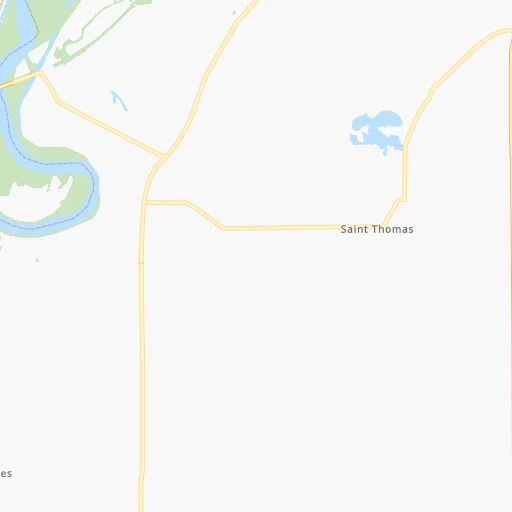
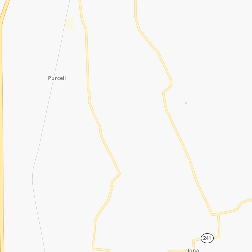
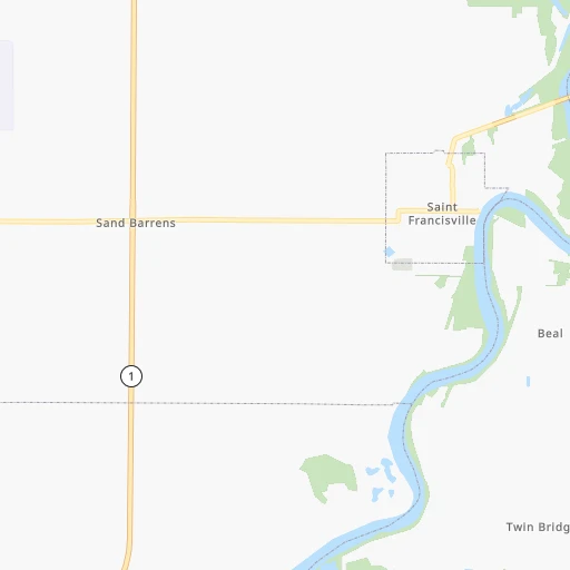
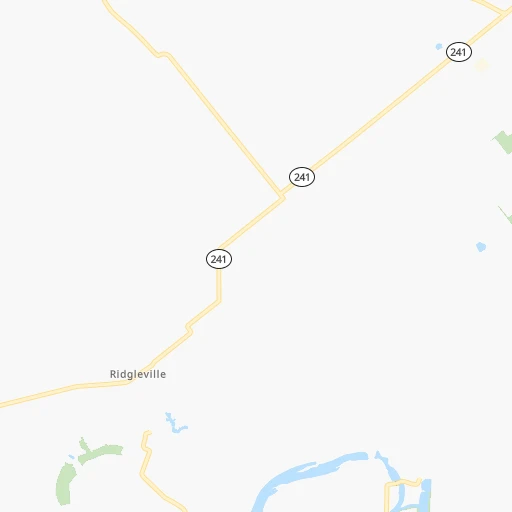
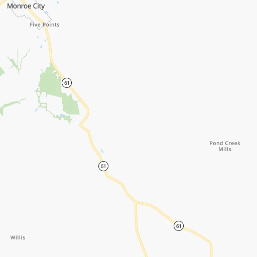
Roadmap (route) to go from Ueding Airport to San Antonio detailed above, you can also see the course layout on the map.
While doing trip Ueding (airport) - San Antonio by car, the calculated route ends at a distance , or more straight.
Distance and duration of the route between Ueding (airport) and San Antonio
Calculation of distance and route from San Antonio to Ueding (airport) :
1,429.51,655.9 km17h22mn
Continue onto Obermeyer Drive 0h2mn 1.2 kmTurn sharp right onto US 41 0h17mn 20.0 kmTurn right onto County Road 350 North 0h14mn 11.5 kmTurn left onto County Road 875 West 0h2mn 1.4 kmTurn right 0h2mn 1.4 kmTurn right onto SR 64 0h2mn 2.4 kmTurn left onto West 3rd Street 1h12mn 79.5 kmContinue onto US 45 0h21mn 24.9 kmTurn slight right onto North Commercial Street 0h0mn 536 mKeep right 0h22mn 32.8 kmTurn left onto East Main Street 0h3mn 3.4 kmAt roundabout, take exit 4 onto West Main Street 0h0mn 75 mTurn slight right onto West Main Street 0h3mn 2.9 kmTurn right 1h11mn 120.9 kmKeep right and take I 55 South toward Memphis 2h51mn 188.4 kmKeep right toward AR 42 0h0mn 468 mKeep right 0h0mn 237 mKeep left 0h0mn 30 mTurn left onto AR 42 0h2mn 2.2 kmTurn left onto Bob White Road 0h8mn 6.6 kmTurn slight right onto West Clarkedale Road 0h15mn 15.3 kmTurn right onto Old Military Road 0h9mn 7.7 kmTurn left onto Bing's Store Road 0h0mn 45 mTurn right 2h40mn 170.0 kmKeep right and take I 40, AR 440 toward Jacksonville, Texarkana 0h0mn 303 mKeep left and take I 440 West toward Texarkana 5h60mn 523.5 kmKeep right and take I 35E toward Denton, Waco 0h1mn 933 mKeep left and take I 35E South, I 35E North toward Waco, Denton 0h0mn 195 mKeep left and take I 35E North, I 35E South toward Denton, Waco 0h0mn 44 mKeep left and take I 35E South toward Waco 2h6mn 217.3 kmKeep left onto I 35 1h52mn 90.0 kmContinue onto Purple Heart Trail and drive toward 32nd Street, Dean Keeton Street 1h8mn 113.3 kmKeep right toward I 410 West, Loop 368 South 0h1mn 699 mKeep right and take Loop 368 South toward Alamo Heights 0h7mn 8.2 kmTurn left onto Broadway 0h6mn 6.3 kmTurn right onto East Travis Street 0h1mn 662 mTurn left onto North Flores Street 0h0mn 367 mTurn left onto Dolorosa Street 0h0mn 99 mArrive at destination 0h0mn 0 m
Travel from Ueding (airport) (Texas) to a selection of major cities.
Distances from Ueding Airport to biggest cities in Indiana
- Columbus,46,690 inhabitants.158 km
- West Lafayette,45,550 inhabitants.214 km
- Portage,36,738 inhabitants.336 km
- Westfield,36,738 inhabitants.205 km
- New Albany,36,732 inhabitants.154 km
- Richmond,35,854 inhabitants.269 km
- Merrillville,35,224 inhabitants.325 km
- Goshen,32,983 inhabitants.366 km
- Valparaiso,32,626 inhabitants.326 km
- Michigan City,31,459 inhabitants.354 km
- Plainfield,30,590 inhabitants.161 km
- Granger,30,465 inhabitants.375 km
- Marion,29,081 inhabitants.274 km
- Crown Point,28,879 inhabitants.317 km
- Schererville,28,791 inhabitants.324 km
- East Chicago,28,699 inhabitants.342 km
- Hobart,28,404 inhabitants.331 km
- Zionsville,26,296 inhabitants.190 km
- Brownsburg,24,996 inhabitants.173 km
- Franklin,24,598 inhabitants.164 km
Other major cities in country :
- Seattle [WA], 684,451 inhabitants. 2,972 km
- Denver [CO], 682,545 inhabitants. 1,508 km
- El Paso [TX], 681,124 inhabitants. 1,878 km
- Detroit [MI], 677,116 inhabitants. 566 km
- Boston [MA], 667,137 inhabitants. 1,456 km
- Memphis [TN], 655,770 inhabitants. 441 km
- New South Memphis [TN], 641,608 inhabitants. 447 km
- Portland [OR], 632,309 inhabitants. 2,979 km
- Oklahoma City [OK], 631,346 inhabitants. 950 km
- Las Vegas [NV], 623,747 inhabitants. 2,446 km
- Baltimore [MD], 621,849 inhabitants. 950 km
- Washington, D.C. [DC], 601,723 inhabitants. 913 km
- Milwaukee [WI], 600,155 inhabitants. 498 km
- South Boston [MA], 571,281 inhabitants. 1,456 km
- Albuquerque [NM], 559,121 inhabitants. 1,742 km
- Tucson [AZ], 531,641 inhabitants. 2,229 km
- Nashville [TN], 530,852 inhabitants. 276 km
- Fresno [CA], 520,052 inhabitants. 2,833 km
- Sacramento [CA], 490,712 inhabitants. 2,937 km
- Kansas City [MO], 475,378 inhabitants. 612 km
Route from San Antonio to major cities (United States).
- Distance San Antonio New York City2,548 km
- Distance San Antonio Los Angeles1,936 km
- Distance San Antonio Chicago1,693 km
- Distance San Antonio Brooklyn2,550 km
- Distance San Antonio Queens2,560 km
- Distance San Antonio Philadelphia2,425 km
- Distance San Antonio Phoenix1,364 km
- Distance San Antonio Manhattan2,554 km
- Distance San Antonio San Diego1,815 km
- Distance San Antonio The Bronx2,564 km
- Distance San Antonio San Jose2,339 km
- Distance San Antonio Jacksonville1,627 km
- Distance San Antonio San Francisco2,396 km
- Distance San Antonio Columbus1,836 km
- Distance San Antonio Indianapolis1,610 km
- Distance San Antonio Charlotte1,778 km
- Distance San Antonio Seattle2,877 km
- Distance San Antonio Denver1,292 km
- Distance San Antonio Detroit1,995 km
- Distance San Antonio Boston2,844 km
Nearest cities to Ueding (airport) :
- Indianapolis, 829,718 inhabitants. 179 km
- Nashville, 530,852 inhabitants. 276 km
- St. Louis, 315,685 inhabitants. 231 km
- Fort Wayne, 260,326 inhabitants. 352 km
- Louisville, 243,639 inhabitants. 160 km
- Clarksville, 149,176 inhabitants. 228 km
- Joliet, 147,861 inhabitants. 332 km
- Murfreesboro, 126,118 inhabitants. 320 km
- Evansville, 119,943 inhabitants. 66 km
- Springfield, 116,565 inhabitants. 227 km
- Peoria, 115,070 inhabitants. 294 km
- North Peoria, 113,004 inhabitants. 296 km
- Carmel, 88,713 inhabitants. 199 km
- Champaign, 86,096 inhabitants. 182 km
- Bloomington, 84,067 inhabitants. 111 km
- Bloomington, 78,292 inhabitants. 247 km
- Fishers, 76,794 inhabitants. 203 km
- Decatur, 73,254 inhabitants. 186 km
- Franklin, 72,639 inhabitants. 300 km
- Lafayette, 71,111 inhabitants. 214 km
- Muncie, 70,087 inhabitants. 259 km
- Jackson, 66,975 inhabitants. 348 km
- Saint Charles, 65,794 inhabitants. 256 km
- Bowling Green, 63,616 inhabitants. 201 km
- Hamilton, 62,407 inhabitants. 274 km
- Terre Haute, 60,825 inhabitants. 101 km
- Noblesville, 59,093 inhabitants. 211 km
- Owensboro, 59,042 inhabitants. 96 km
- Kokomo, 57,995 inhabitants. 246 km
- Hendersonville, 56,018 inhabitants. 265 km
- Greenwood, 55,586 inhabitants. 170 km
- Anderson, 55,305 inhabitants. 235 km
- Normal, 54,373 inhabitants. 249 km
- Florissant, 52,268 inhabitants. 242 km
- Lawrence, 47,809 inhabitants. 193 km
- Jeffersonville, 46,960 inhabitants. 161 km
- Columbus, 46,690 inhabitants. 158 km
- Smyrna, 46,607 inhabitants. 302 km
- West Lafayette, 45,550 inhabitants. 214 km
- Fairfield, 42,767 inhabitants. 273 km
- Moline, 42,681 inhabitants. 413 km
- Urbana, 42,311 inhabitants. 181 km
- Belleville, 42,034 inhabitants. 212 km
- Brentwood, 41,763 inhabitants. 290 km
- Cape Girardeau, 39,462 inhabitants. 223 km
- Columbia, 36,800 inhabitants. 332 km
- Westfield, 36,738 inhabitants. 205 km
- New Albany, 36,732 inhabitants. 154 km
- Oakville, 36,143 inhabitants. 240 km
- Spring Hill, 36,055 inhabitants. 318 km
Location Ueding (airport) (Indiana) :
| Country flag |  |
| Location | Ueding (airport) |
| State | Indiana |
| County | Knox County |
| Country | United States |
| Country code / ISO 2 | US |
| Latitude | 38.5692100 |
| Longitude | -87.5483600 |
| Altitude | 124 meters |
| Time zone | America/Indiana/Vincennes |
Location San Antonio (Texas) :
| Country flag | |
| Location | San Antonio |
| State | Texas |
| County | Bexar County |
| Country | United States |
| Country code / ISO 2 | US |
| Latitude | 29.4241200 |
| Longitude | -98.4936300 |
| Altitude | 198 meters |
| Time zone | America/Chicago |


