
How to get from Nichols RLA (airport) (Illinois) to Rockford (Illinois)
Calculate route from Nichols RLA (airport) (Illinois, United States) to Rockford (Illinois, United States).
The flight distance (as the crow flies) between Nichols RLA (airport) and Rockford is 405.3 km.
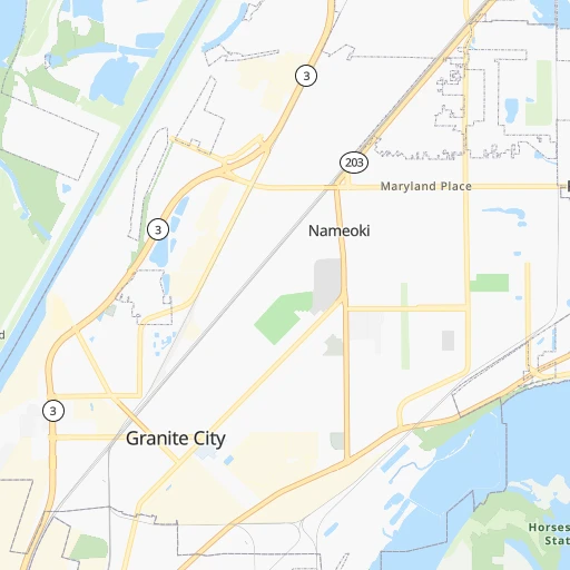
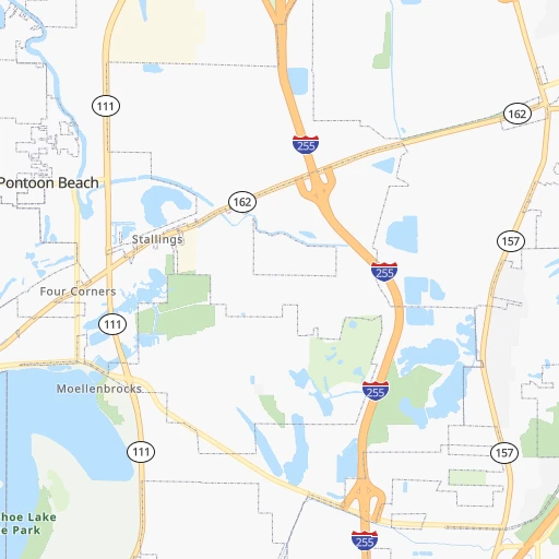
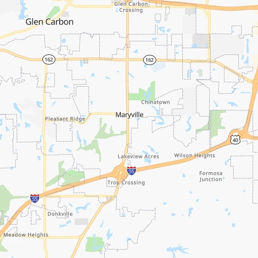
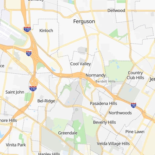
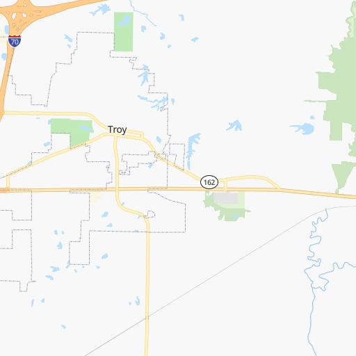
Roadmap (route) to go from Nichols RLA Airport to Rockford detailed above, you can also see the course layout on the map.
While doing trip Nichols RLA (airport) - Rockford by car, the calculated route ends at a distance , or more straight.
Distance and duration of the route between Nichols RLA (airport) and Rockford
Calculation of distance and route from Rockford to Nichols RLA (airport) :
405.3452.4 km5h44mn
Continue onto IL 111 0h2mn 2.6 kmTurn right onto State Route 162 0h6mn 6.4 kmTurn left onto South State Route 157 0h0mn 213 mTurn right onto West Main Street 0h7mn 5.7 kmTurn left onto South State Route 159 0h1mn 1.6 kmTurn right onto Governors Parkway 0h5mn 5.4 kmTurn left 2h35mn 160.7 kmKeep right onto I 55 Business and take I 55 Business North toward Lincoln 0h0mn 331 mKeep right onto I 55 Business and take I 55 Business North toward Lincoln 0h5mn 5.0 kmKeep right 0h0mn 61 mTurn slight right onto 5th Street 0h2mn 2.6 kmTurn right onto Keokuk Street 0h0mn 305 mTurn left onto I 55 Business 0h2mn 1.8 kmTurn left 0h0mn 45 mTurn right onto Lincoln Parkway 0h2mn 2.9 kmTurn right onto I 55 Business and take I 55 North toward Bloomington 0h23mn 38.8 kmKeep left onto I 55 and take I 55 North, I 74 West toward Chicago, Peoria 0h7mn 12.2 kmKeep right onto US 51 and take I 39 North toward Rockford 2h54mn 193.1 kmKeep left and take US 20 West toward Freeport, Rockford 0h2mn 2.8 kmKeep right and drive toward South Alpine Road 0h0mn 367 mKeep right and drive toward South Alpine Road 0h4mn 3.5 kmTurn left onto Newburg Road 0h0mn 431 mKeep right 0h0mn 113 mTurn slight right onto Parkside Drive 0h0mn 119 mTurn left onto Charles Street 0h4mn 4.1 kmTurn left onto East State Street 0h1mn 1.2 kmArrive at destination 0h0mn 0 m
Travel from Nichols RLA (airport) (Illinois) to a selection of major cities.
Distances from Nichols RLA Airport to biggest cities in Illinois
- South Lawndale,73,826 inhabitants.403 km
- Logan Square,73,702 inhabitants.411 km
- Decatur,73,254 inhabitants.159 km
- West Ridge,72,211 inhabitants.419 km
- Palatine,69,308 inhabitants.417 km
- Lincoln Park,66,959 inhabitants.413 km
- Portage Park,64,841 inhabitants.412 km
- Skokie,64,821 inhabitants.420 km
- Des Plaines,58,677 inhabitants.415 km
- Orland Park,58,619 inhabitants.376 km
- Tinley Park,57,143 inhabitants.374 km
- Oak Lawn,56,781 inhabitants.388 km
- Irving Park,56,520 inhabitants.413 km
- Berwyn,56,368 inhabitants.400 km
- Chicago Lawn,55,551 inhabitants.397 km
- Uptown,55,137 inhabitants.417 km
- Edgewater,54,873 inhabitants.418 km
- Mount Prospect,54,747 inhabitants.416 km
- Rogers Park,54,402 inhabitants.421 km
- Normal,54,373 inhabitants.222 km
Other major cities in country :
- Seattle [WA], 684,451 inhabitants. 2,778 km
- Denver [CO], 682,545 inhabitants. 1,291 km
- El Paso [TX], 681,124 inhabitants. 1,678 km
- Detroit [MI], 677,116 inhabitants. 718 km
- Boston [MA], 667,137 inhabitants. 1,655 km
- Memphis [TN], 655,770 inhabitants. 395 km
- New South Memphis [TN], 641,608 inhabitants. 402 km
- Portland [OR], 632,309 inhabitants. 2,777 km
- Oklahoma City [OK], 631,346 inhabitants. 753 km
- Las Vegas [NV], 623,747 inhabitants. 2,227 km
- Baltimore [MD], 621,849 inhabitants. 1,164 km
- Washington, D.C. [DC], 601,723 inhabitants. 1,129 km
- Milwaukee [WI], 600,155 inhabitants. 516 km
- South Boston [MA], 571,281 inhabitants. 1,655 km
- Albuquerque [NM], 559,121 inhabitants. 1,528 km
- Tucson [AZ], 531,641 inhabitants. 2,019 km
- Nashville [TN], 530,852 inhabitants. 404 km
- Fresno [CA], 520,052 inhabitants. 2,614 km
- Sacramento [CA], 490,712 inhabitants. 2,720 km
- Kansas City [MO], 475,378 inhabitants. 394 km
Route from Rockford to major cities (United States).
- Distance Rockford New York City1,268 km
- Distance Rockford Los Angeles2,695 km
- Distance Rockford Brooklyn1,274 km
- Distance Rockford Houston1,501 km
- Distance Rockford Queens1,283 km
- Distance Rockford Philadelphia1,195 km
- Distance Rockford Phoenix2,236 km
- Distance Rockford Manhattan1,270 km
- Distance Rockford San Antonio1,660 km
- Distance Rockford San Diego2,682 km
- Distance Rockford The Bronx1,276 km
- Distance Rockford Dallas1,255 km
- Distance Rockford San Jose2,840 km
- Distance Rockford Austin1,543 km
- Distance Rockford Jacksonville1,486 km
- Distance Rockford San Francisco2,866 km
- Distance Rockford Columbus572 km
- Distance Rockford Fort Worth1,286 km
- Distance Rockford Indianapolis372 km
- Distance Rockford Charlotte1,061 km
Nearest cities to Nichols RLA (airport) :
- St. Louis, 315,685 inhabitants. 14 km
- Clarksville, 149,176 inhabitants. 339 km
- Joliet, 147,861 inhabitants. 357 km
- Evansville, 119,943 inhabitants. 233 km
- Columbia, 119,108 inhabitants. 199 km
- Springfield, 116,565 inhabitants. 128 km
- Peoria, 115,070 inhabitants. 226 km
- North Peoria, 113,004 inhabitants. 228 km
- Davenport, 102,582 inhabitants. 318 km
- Champaign, 86,096 inhabitants. 222 km
- O'Fallon, 85,040 inhabitants. 57 km
- Bloomington, 78,292 inhabitants. 219 km
- Hammond, 77,614 inhabitants. 388 km
- Gary, 77,156 inhabitants. 396 km
- Bolingbrook, 74,306 inhabitants. 374 km
- Iowa City, 74,220 inhabitants. 353 km
- Jonesboro, 73,907 inhabitants. 323 km
- Decatur, 73,254 inhabitants. 159 km
- Saint Charles, 65,794 inhabitants. 38 km
- Terre Haute, 60,825 inhabitants. 244 km
- Owensboro, 59,042 inhabitants. 278 km
- Orland Park, 58,619 inhabitants. 376 km
- Tinley Park, 57,143 inhabitants. 374 km
- Normal, 54,373 inhabitants. 222 km
- Saint Peters, 52,575 inhabitants. 50 km
- Florissant, 52,268 inhabitants. 25 km
- Chesterfield, 47,864 inhabitants. 45 km
- Jefferson City, 43,169 inhabitants. 184 km
- Moline, 42,681 inhabitants. 315 km
- Plainfield, 42,527 inhabitants. 362 km
- Urbana, 42,311 inhabitants. 224 km
- Belleville, 42,034 inhabitants. 21 km
- Quincy, 40,780 inhabitants. 180 km
- Romeoville, 39,719 inhabitants. 369 km
- Cape Girardeau, 39,462 inhabitants. 162 km
- Rock Island, 38,620 inhabitants. 316 km
- Calumet City, 37,031 inhabitants. 390 km
- Portage, 36,738 inhabitants. 404 km
- Oakville, 36,143 inhabitants. 33 km
- Wildwood, 35,899 inhabitants. 54 km
- Wentzville, 35,603 inhabitants. 70 km
- Bettendorf, 35,505 inhabitants. 317 km
- Merrillville, 35,224 inhabitants. 387 km
- University City, 35,058 inhabitants. 22 km
- Oswego, 33,955 inhabitants. 363 km
- Pekin, 33,223 inhabitants. 211 km
- Hopkinsville, 32,205 inhabitants. 305 km
- Danville, 32,108 inhabitants. 262 km
- Galesburg, 31,273 inhabitants. 252 km
- Ballwin, 30,577 inhabitants. 44 km
Location Nichols RLA (airport) (Illinois) :
| Country flag |  |
| Location | Nichols RLA (airport) |
| State | Illinois |
| County | Madison County |
| Country | United States |
| Country code / ISO 2 | US |
| Latitude | 38.6986600 |
| Longitude | -90.0612200 |
| Altitude | 128 meters |
| Time zone | America/Chicago |
Location Rockford (Illinois) :
| Country flag | |
| Location | Rockford |
| State | Illinois |
| County | Winnebago County |
| Country | United States |
| Country code / ISO 2 | US |
| Latitude | 42.2711300 |
| Longitude | -89.0940000 |
| Altitude | 218 meters |
| Time zone | America/Chicago |

