
How to get from Ayresouth (airport) (Georgia) to Kingsport (Tennessee)
Calculate route from Ayresouth (airport) (Georgia, United States) to Kingsport (Tennessee, United States).
The flight distance (as the crow flies) between Ayresouth (airport) and Kingsport is 383.2 km.
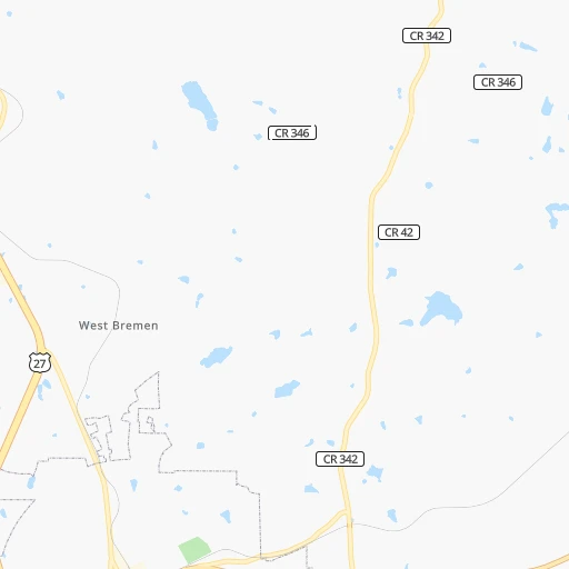
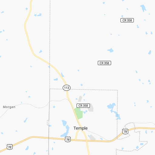
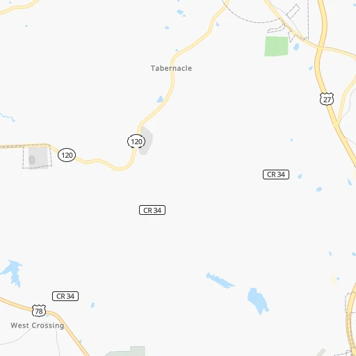
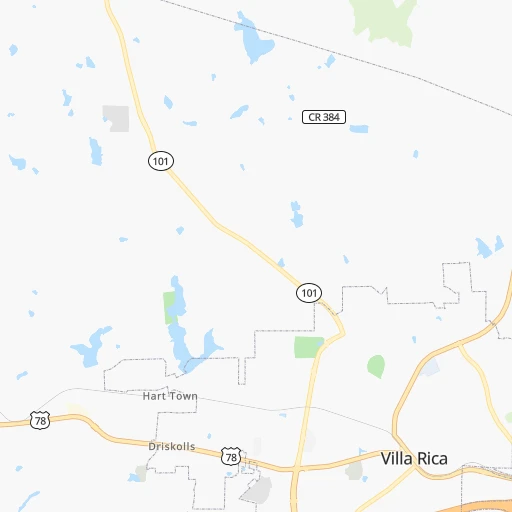
Roadmap (route) to go from Ayresouth Airport to Kingsport detailed above, you can also see the course layout on the map.
While doing trip Ayresouth (airport) - Kingsport by car, the calculated route ends at a distance , or more straight.
Distance and duration of the route between Ayresouth (airport) and Kingsport
Calculation of distance and route from Kingsport to Ayresouth (airport) :
383.2465.0 km5h27mn
Continue onto Liberty Church Road 0h1mn 695 mTurn left onto GA 113 0h5mn 6.5 kmTurn right onto GA 113, GA 120 0h5mn 6.1 kmTurn left onto GA 101, GA 113 0h8mn 10.4 kmTurn left onto Gold Mine Road 0h4mn 4.7 kmTurn left onto Nathan Dean Parkway 0h4mn 6.0 kmKeep right 0h0mn 47 mTurn slight right onto Cartersville Highway 0h6mn 8.3 kmTurn left onto Old State Highway 113 0h0mn 438 mTurn left onto Church Street 0h4mn 3.2 kmTurn right onto Old Alabama Road 0h0mn 309 mTurn left onto Taylorsville Macedonia Road Southwest 0h8mn 8.4 kmTurn right onto Euharlee Road 0h0mn 102 mTurn left onto Macedonia Road 0h4mn 4.2 kmTurn right onto US 411, GA 20 0h1mn 1.1 kmTurn left onto Reynolds Bridge Road 0h3mn 3.3 kmTurn left onto Old Rome Road 0h0mn 34 mTurn right onto Dawson Street 0h1mn 343 mTurn left onto West Main Street 0h0mn 326 mTurn right onto West Howard Street 0h0mn 182 mTurn left onto Hall Station Road 0h19mn 16.5 kmKeep right 0h0mn 499 mTurn left onto Main Street North 0h1mn 1.1 kmTurn right 0h0mn 23 mTurn left onto Joe Frank Harris Parkway 0h4mn 5.9 kmKeep right 0h2mn 1.6 kmKeep left 0h17mn 28.9 kmKeep right toward GA 3 0h0mn 319 mTurn right onto South Bypass 0h1mn 903 mTurn left onto South Dixie Road 0h8mn 8.3 kmContinue onto South Thornton Avenue 0h1mn 805 mTurn right onto West Morris Street 0h1mn 566 mTurn left onto South Glenwood Avenue 1h37mn 45.5 kmTurn left onto 6th Street Southeast 0h1mn 930 mTurn right onto South Ocoee Street 0h0mn 220 mTurn left onto Inman Street West 0h1mn 729 mKeep right onto Inman Street West 0h2mn 2.4 kmTurn left onto 25th Street Northwest 0h1mn 1.6 kmKeep right 1h14mn 122.5 kmKeep left onto I 40 1h36mn 59.0 kmKeep left onto I 81 and take I 81 North toward Bristol 1h48mn 81.2 kmKeep right and take SR 93 toward Jonesborough, Fall Branch 0h0mn 346 mKeep right and take SR 93 toward Jonesborough, Fall Branch 0h12mn 14.3 kmKeep left 0h4mn 4.4 kmTurn left onto East Sullivan Court 0h0mn 338 mContinue onto East Sullivan Street 0h1mn 673 mKeep left onto East Center Street 0h1mn 782 mArrive at destination 0h0mn 0 m
Travel from Ayresouth (airport) (Tennessee) to a selection of major cities.
Distances from Ayresouth Airport to biggest cities in Georgia
- Gainesville,38,712 inhabitants.128 km
- Milton,37,547 inhabitants.81 km
- Newnan,37,291 inhabitants.50 km
- Mableton,37,115 inhabitants.45 km
- Rome,36,323 inhabitants.55 km
- Martinez,35,795 inhabitants.278 km
- East Point,35,467 inhabitants.58 km
- Peachtree City,35,240 inhabitants.60 km
- Dalton,33,853 inhabitants.112 km
- Kennesaw,33,584 inhabitants.50 km
- Hinesville,33,398 inhabitants.388 km
- Redan,33,015 inhabitants.86 km
- Douglasville,32,897 inhabitants.29 km
- Statesboro,30,721 inhabitants.339 km
- Lawrenceville,30,493 inhabitants.101 km
- Woodstock,29,898 inhabitants.62 km
- LaGrange,29,588 inhabitants.81 km
- Duluth,29,193 inhabitants.89 km
- Evans,29,011 inhabitants.273 km
- Chamblee,28,244 inhabitants.72 km
Other major cities in country :
- Charlotte [NC], 827,097 inhabitants. 420 km
- Seattle [WA], 684,451 inhabitants. 3,459 km
- Denver [CO], 682,545 inhabitants. 1,892 km
- El Paso [TX], 681,124 inhabitants. 2,014 km
- Detroit [MI], 677,116 inhabitants. 969 km
- Boston [MA], 667,137 inhabitants. 1,552 km
- Memphis [TN], 655,770 inhabitants. 483 km
- New South Memphis [TN], 641,608 inhabitants. 482 km
- Portland [OR], 632,309 inhabitants. 3,441 km
- Oklahoma City [OK], 631,346 inhabitants. 1,156 km
- Las Vegas [NV], 623,747 inhabitants. 2,746 km
- Baltimore [MD], 621,849 inhabitants. 973 km
- Washington, D.C. [DC], 601,723 inhabitants. 918 km
- Milwaukee [WI], 600,155 inhabitants. 1,061 km
- South Boston [MA], 571,281 inhabitants. 1,551 km
- Albuquerque [NM], 559,121 inhabitants. 1,984 km
- Tucson [AZ], 531,641 inhabitants. 2,415 km
- Nashville [TN], 530,852 inhabitants. 310 km
- Fresno [CA], 520,052 inhabitants. 3,155 km
- Sacramento [CA], 490,712 inhabitants. 3,295 km
Route from Kingsport to major cities (United States).
- Distance Kingsport New York City876 km
- Distance Kingsport Los Angeles3,235 km
- Distance Kingsport Chicago735 km
- Distance Kingsport Brooklyn877 km
- Distance Kingsport Houston1,410 km
- Distance Kingsport Queens887 km
- Distance Kingsport Philadelphia749 km
- Distance Kingsport Phoenix2,703 km
- Distance Kingsport Manhattan883 km
- Distance Kingsport San Antonio1,683 km
- Distance Kingsport San Diego3,181 km
- Distance Kingsport The Bronx894 km
- Distance Kingsport Dallas1,368 km
- Distance Kingsport San Jose3,475 km
- Distance Kingsport Austin1,572 km
- Distance Kingsport Jacksonville697 km
- Distance Kingsport San Francisco3,512 km
- Distance Kingsport Columbus382 km
- Distance Kingsport Fort Worth1,415 km
- Distance Kingsport Indianapolis477 km
Nearest cities to Ayresouth (airport) :
- Nashville, 530,852 inhabitants. 310 km
- Atlanta, 463,878 inhabitants. 62 km
- Birmingham, 212,461 inhabitants. 164 km
- Montgomery, 200,602 inhabitants. 194 km
- Columbus, 200,579 inhabitants. 146 km
- Huntsville, 190,582 inhabitants. 176 km
- Knoxville, 185,291 inhabitants. 265 km
- Chattanooga, 176,588 inhabitants. 144 km
- East Chattanooga, 154,024 inhabitants. 145 km
- Clarksville, 149,176 inhabitants. 372 km
- Murfreesboro, 126,118 inhabitants. 261 km
- Athens, 116,714 inhabitants. 157 km
- Sandy Springs, 105,330 inhabitants. 65 km
- Tuscaloosa, 98,332 inhabitants. 241 km
- Roswell, 94,501 inhabitants. 70 km
- Macon, 91,351 inhabitants. 168 km
- Asheville, 88,512 inhabitants. 307 km
- Hoover, 84,848 inhabitants. 167 km
- Johns Creek, 83,335 inhabitants. 85 km
- Albany, 74,843 inhabitants. 258 km
- Warner Robins, 73,490 inhabitants. 185 km
- Franklin, 72,639 inhabitants. 291 km
- Dothan, 68,567 inhabitants. 285 km
- Johnson City, 66,027 inhabitants. 376 km
- Greenville, 64,579 inhabitants. 273 km
- Alpharetta, 63,693 inhabitants. 79 km
- Auburn, 62,059 inhabitants. 135 km
- Marietta, 59,067 inhabitants. 51 km
- Smyrna, 56,146 inhabitants. 52 km
- Hendersonville, 56,018 inhabitants. 316 km
- Valdosta, 55,724 inhabitants. 367 km
- Decatur, 55,437 inhabitants. 200 km
- Kingsport, 53,014 inhabitants. 384 km
- Brookhaven, 51,910 inhabitants. 67 km
- Stonecrest, 50,000 inhabitants. 86 km
- Dunwoody, 48,733 inhabitants. 70 km
- Madison, 46,962 inhabitants. 187 km
- Smyrna, 46,607 inhabitants. 280 km
- Cleveland, 43,898 inhabitants. 156 km
- Brentwood, 41,763 inhabitants. 297 km
- Peachtree Corners, 40,978 inhabitants. 81 km
- North Atlanta, 40,456 inhabitants. 68 km
- Florence, 40,026 inhabitants. 267 km
- Gainesville, 38,712 inhabitants. 128 km
- Phenix City, 37,570 inhabitants. 145 km
- Milton, 37,547 inhabitants. 81 km
- Newnan, 37,291 inhabitants. 50 km
- Mableton, 37,115 inhabitants. 45 km
- Columbia, 36,800 inhabitants. 274 km
- Rome, 36,323 inhabitants. 55 km
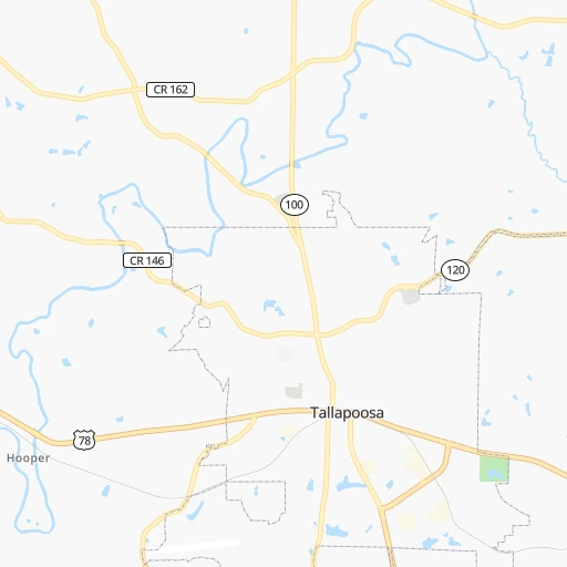
Location Ayresouth (airport) (Georgia) :
| Country flag |  |
| Location | Ayresouth (airport) |
| State | Georgia |
| County | Haralson County |
| Country | United States |
| Country code / ISO 2 | US |
| Latitude | 33.7695600 |
| Longitude | -85.0605600 |
| Altitude | 392 meters |
| Time zone | America/New_York |
Location Kingsport (Tennessee) :
| Country flag | |
| Location | Kingsport |
| State | Tennessee |
| County | Sullivan County |
| Country | United States |
| Country code / ISO 2 | US |
| Latitude | 36.5484300 |
| Longitude | -82.5618200 |
| Altitude | 369 meters |
| Time zone | America/New_York |


