
How to get from Salem (airport) (Arkansas) to Maumelle (Arkansas)
Calculate route from Salem (airport) (Arkansas, United States) to Maumelle (Arkansas, United States).
The flight distance (as the crow flies) between Salem (airport) and Maumelle is 173.4 km.
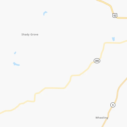
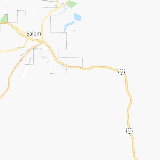
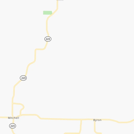
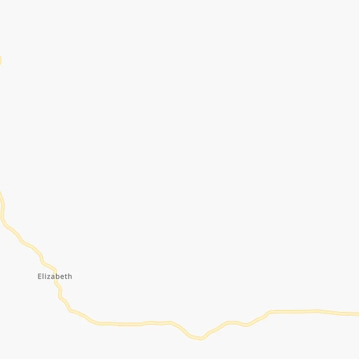
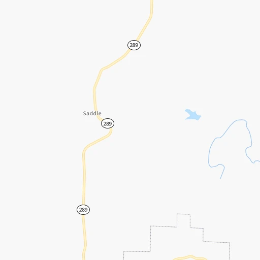
Roadmap (route) to go from Salem Airport to Maumelle detailed above, you can also see the course layout on the map.
While doing trip Salem (airport) - Maumelle by car, the calculated route ends at a distance , or more straight.
Distance and duration of the route between Salem (airport) and Maumelle
Calculation of distance and route from Maumelle to Salem (airport) :
173.4227.8 km3h19mn
Continue onto Airport Road 0h0mn 48 mTurn right onto Airport Drive 0h1mn 489 mTurn left 0h0mn 105 mTurn left onto South Main Street 1h35mn 38.5 kmTurn right onto Main Street 1h31mn 31.5 kmTurn left onto AR 5, AR 9, AR 14 0h9mn 8.7 kmTurn right onto East Main Street 0h1mn 727 mTurn left onto Church Street 0h1mn 292 mTurn left onto South Peabody Avenue 0h25mn 25.5 kmTurn left onto State Highway 9 0h13mn 13.2 kmContinue onto State Highway 16 0h15mn 15.4 kmTurn left onto US 65, AR 9, AR 16 1h48mn 61.7 kmKeep left onto US 65 0h15mn 27.5 kmKeep right and take AR 365 toward Morgan, Maumelle 0h0mn 378 mKeep right 0h0mn 50 mTurn slight right onto State Highway 365 0h3mn 3.1 kmTurn right onto Edgewood Drive 0h1mn 552 mTurn left 0h0mn 51 mTurn sharp left 0h0mn 23 mArrive at destination 0h0mn 0 m
Travel from Salem (airport) (Arkansas) to a selection of major cities.
Distances from Salem Airport to biggest cities in Arkansas
- West Memphis,25,052 inhabitants.201 km
- Searcy,24,196 inhabitants.123 km
- Van Buren,23,081 inhabitants.249 km
Other major cities in country :
- Charlotte [NC], 827,097 inhabitants. 1,000 km
- Seattle [WA], 684,451 inhabitants. 2,793 km
- Denver [CO], 682,545 inhabitants. 1,212 km
- El Paso [TX], 681,124 inhabitants. 1,443 km
- Detroit [MI], 677,116 inhabitants. 1,006 km
- Boston [MA], 667,137 inhabitants. 1,903 km
- Memphis [TN], 655,770 inhabitants. 210 km
- New South Memphis [TN], 641,608 inhabitants. 214 km
- Portland [OR], 632,309 inhabitants. 2,766 km
- Oklahoma City [OK], 631,346 inhabitants. 522 km
- Las Vegas [NV], 623,747 inhabitants. 2,087 km
- Baltimore [MD], 621,849 inhabitants. 1,376 km
- Washington, D.C. [DC], 601,723 inhabitants. 1,333 km
- Milwaukee [WI], 600,155 inhabitants. 816 km
- South Boston [MA], 571,281 inhabitants. 1,903 km
- Albuquerque [NM], 559,121 inhabitants. 1,345 km
- Tucson [AZ], 531,641 inhabitants. 1,812 km
- Nashville [TN], 530,852 inhabitants. 453 km
- Fresno [CA], 520,052 inhabitants. 2,490 km
- Sacramento [CA], 490,712 inhabitants. 2,621 km
Route from Maumelle to major cities (United States).
- Distance Maumelle New York City1,740 km
- Distance Maumelle Los Angeles2,367 km
- Distance Maumelle Chicago881 km
- Distance Maumelle Brooklyn1,743 km
- Distance Maumelle Houston633 km
- Distance Maumelle Queens1,753 km
- Distance Maumelle Philadelphia1,623 km
- Distance Maumelle Phoenix1,816 km
- Distance Maumelle Manhattan1,746 km
- Distance Maumelle San Antonio834 km
- Distance Maumelle San Diego2,297 km
- Distance Maumelle The Bronx1,756 km
- Distance Maumelle Dallas468 km
- Distance Maumelle San Jose2,656 km
- Distance Maumelle Austin716 km
- Distance Maumelle Jacksonville1,126 km
- Distance Maumelle San Francisco2,700 km
- Distance Maumelle Columbus1,006 km
- Distance Maumelle Fort Worth513 km
- Distance Maumelle Indianapolis776 km
Nearest cities to Salem (airport) :
- Memphis, 655,770 inhabitants. 210 km
- New South Memphis, 641,608 inhabitants. 214 km
- Kansas City, 475,378 inhabitants. 390 km
- St. Louis, 315,685 inhabitants. 291 km
- Little Rock, 197,992 inhabitants. 184 km
- Overland Park, 186,515 inhabitants. 385 km
- Springfield, 166,810 inhabitants. 162 km
- Kansas City, 151,306 inhabitants. 393 km
- Olathe, 134,305 inhabitants. 385 km
- Columbia, 119,108 inhabitants. 292 km
- Independence, 117,255 inhabitants. 380 km
- East Independence, 110,675 inhabitants. 377 km
- Lee's Summit, 95,094 inhabitants. 363 km
- Fort Smith, 88,194 inhabitants. 256 km
- O'Fallon, 85,040 inhabitants. 291 km
- Fayetteville, 82,830 inhabitants. 211 km
- Springdale, 77,859 inhabitants. 207 km
- Jonesboro, 73,907 inhabitants. 116 km
- North Little Rock, 66,504 inhabitants. 181 km
- Saint Charles, 65,794 inhabitants. 295 km
- Shawnee, 65,046 inhabitants. 393 km
- Conway, 64,980 inhabitants. 151 km
- Rogers, 63,159 inhabitants. 205 km
- Bartlett, 58,579 inhabitants. 218 km
- Blue Springs, 54,148 inhabitants. 366 km
- Southaven, 52,589 inhabitants. 224 km
- Saint Peters, 52,575 inhabitants. 292 km
- Lenexa, 52,490 inhabitants. 386 km
- Florissant, 52,268 inhabitants. 302 km
- Joplin, 51,818 inhabitants. 253 km
- Collierville, 48,863 inhabitants. 244 km
- Chesterfield, 47,864 inhabitants. 280 km
- Pine Bluff, 44,772 inhabitants. 237 km
- Bentonville, 44,499 inhabitants. 213 km
- Jefferson City, 43,169 inhabitants. 249 km
- Belleville, 42,034 inhabitants. 291 km
- Cape Girardeau, 39,462 inhabitants. 232 km
- Germantown, 39,240 inhabitants. 231 km
- Texarkana, 37,280 inhabitants. 384 km
- Oakville, 36,143 inhabitants. 271 km
- Olive Branch, 36,010 inhabitants. 238 km
- Wildwood, 35,899 inhabitants. 269 km
- Hot Springs, 35,635 inhabitants. 234 km
- Wentzville, 35,603 inhabitants. 287 km
- Hot Springs National Park, 35,193 inhabitants. 232 km
- University City, 35,058 inhabitants. 289 km
- Leawood, 34,579 inhabitants. 380 km
- Benton, 34,177 inhabitants. 211 km
- Greenville, 32,156 inhabitants. 335 km
- Ballwin, 30,577 inhabitants. 274 km
Location Salem (airport) (Arkansas) :
| Country flag |  |
| Location | Salem (airport) |
| State | Arkansas |
| County | Fulton County |
| Country | United States |
| Country code / ISO 2 | US |
| Latitude | 36.3560000 |
| Longitude | -91.8313500 |
| Altitude | 221 meters |
| Time zone | America/Chicago |
Location Maumelle (Arkansas) :
| Country flag | |
| Location | Maumelle |
| State | Arkansas |
| County | Pulaski County |
| Country | United States |
| Country code / ISO 2 | US |
| Latitude | 34.8667600 |
| Longitude | -92.4043200 |
| Altitude | 104 meters |
| Time zone | America/Chicago |
