

How to get from Fort Smith (Arkansas) to Jacksonville (Arkansas)
Calculate route from Fort Smith (Arkansas, United States) to Jacksonville (Arkansas, United States).
The flight distance (as the crow flies) between Fort Smith and Jacksonville is 215.8 km.
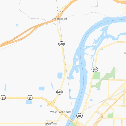
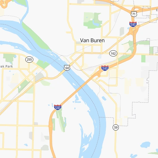
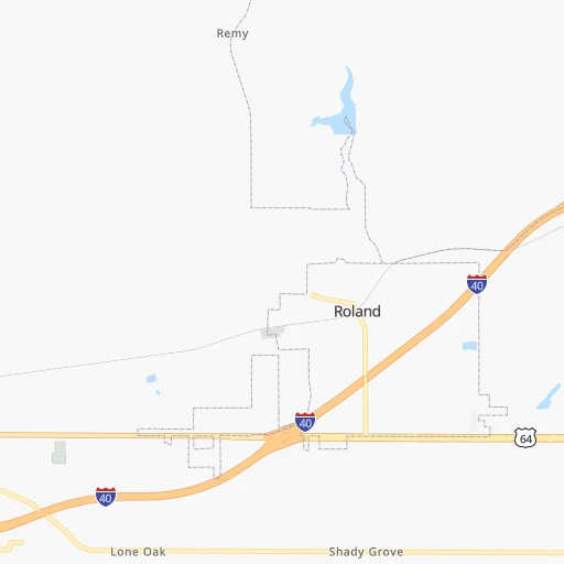
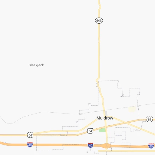
Roadmap (route) to go from Fort Smith to Jacksonville detailed above, you can also see the course layout on the map.
While doing trip Fort Smith - Jacksonville by car, the calculated route ends at a distance , or more straight.
Distance and duration of the route between Fort Smith and Jacksonville
Calculation of distance and route from Jacksonville to Fort Smith :
215.8266.2 km3h32mn
Continue onto Grand Avenue 0h3mn 3.2 kmTurn left toward I 540 North, US 71 North 0h6mn 9.7 kmKeep right onto US 71 and take I 40 East toward Little Rock, Memphis 2h12mn 236.9 kmKeep left onto US 67, US 167 0h9mn 14.1 kmKeep right 0h0mn 500 mTurn right onto West Main Street South 0h1mn 1.5 kmTurn left onto North 2nd Street 0h0mn 110 mTurn right onto West Hickory Street 0h0mn 100 mTurn right onto North 1st Street 0h0mn 57 mArrive at destination 0h0mn 0 m
Travel from Fort Smith (Arkansas) to a selection of major cities.
Distances from Fort Smith to biggest cities in Arkansas
Other major cities in country :
- Charlotte [NC], 827,097 inhabitants. 1,231 km
- Seattle [WA], 684,451 inhabitants. 2,676 km
- Denver [CO], 682,545 inhabitants. 1,051 km
- El Paso [TX], 681,124 inhabitants. 1,191 km
- Detroit [MI], 677,116 inhabitants. 1,250 km
- Boston [MA], 667,137 inhabitants. 2,158 km
- Memphis [TN], 655,770 inhabitants. 396 km
- New South Memphis [TN], 641,608 inhabitants. 396 km
- Portland [OR], 632,309 inhabitants. 2,629 km
- Oklahoma City [OK], 631,346 inhabitants. 283 km
- Las Vegas [NV], 623,747 inhabitants. 1,871 km
- Baltimore [MD], 621,849 inhabitants. 1,630 km
- Washington, D.C. [DC], 601,723 inhabitants. 1,587 km
- Milwaukee [WI], 600,155 inhabitants. 1,019 km
- South Boston [MA], 571,281 inhabitants. 2,158 km
- Albuquerque [NM], 559,121 inhabitants. 1,114 km
- Tucson [AZ], 531,641 inhabitants. 1,567 km
- Nashville [TN], 530,852 inhabitants. 693 km
- Fresno [CA], 520,052 inhabitants. 2,282 km
- Sacramento [CA], 490,712 inhabitants. 2,427 km
Route from Jacksonville to major cities (United States).
- Distance Jacksonville New York City1,716 km
- Distance Jacksonville Los Angeles2,394 km
- Distance Jacksonville Chicago869 km
- Distance Jacksonville Brooklyn1,719 km
- Distance Jacksonville Houston645 km
- Distance Jacksonville Queens1,729 km
- Distance Jacksonville Philadelphia1,599 km
- Distance Jacksonville Phoenix1,843 km
- Distance Jacksonville Manhattan1,722 km
- Distance Jacksonville San Antonio853 km
- Distance Jacksonville San Diego2,324 km
- Distance Jacksonville The Bronx1,732 km
- Distance Jacksonville Dallas492 km
- Distance Jacksonville San Jose2,682 km
- Distance Jacksonville Austin736 km
- Distance Jacksonville Jacksonville1,102 km
- Distance Jacksonville San Francisco2,726 km
- Distance Jacksonville Columbus984 km
- Distance Jacksonville Fort Worth538 km
- Distance Jacksonville Indianapolis758 km
Nearest cities to Fort Smith :
- Dallas, 1,300,092 inhabitants. 365 km
- Fort Worth, 833,319 inhabitants. 400 km
- Tulsa, 403,505 inhabitants. 167 km
- Wichita, 389,965 inhabitants. 367 km
- Arlington, 388,125 inhabitants. 387 km
- Plano, 283,558 inhabitants. 338 km
- Garland, 236,897 inhabitants. 344 km
- Irving, 236,607 inhabitants. 370 km
- Little Rock, 197,992 inhabitants. 205 km
- Shreveport, 197,204 inhabitants. 324 km
- Grand Prairie, 187,809 inhabitants. 379 km
- Springfield, 166,810 inhabitants. 226 km
- McKinney, 162,898 inhabitants. 318 km
- Frisco, 154,407 inhabitants. 334 km
- Mesquite, 144,788 inhabitants. 355 km
- Carrollton, 133,168 inhabitants. 355 km
- Denton, 131,044 inhabitants. 349 km
- Richardson, 110,815 inhabitants. 346 km
- Broken Arrow, 106,563 inhabitants. 146 km
- Lewisville, 104,039 inhabitants. 353 km
- Allen, 98,143 inhabitants. 329 km
- Fort Smith, 88,194 inhabitants. 0 km
- Fayetteville, 82,830 inhabitants. 78 km
- Longview, 82,287 inhabitants. 323 km
- Springdale, 77,859 inhabitants. 92 km
- Flower Mound, 71,253 inhabitants. 362 km
- North Richland Hills, 69,204 inhabitants. 386 km
- Bossier City, 68,094 inhabitants. 325 km
- North Little Rock, 66,504 inhabitants. 206 km
- Conway, 64,980 inhabitants. 181 km
- Mansfield, 64,274 inhabitants. 404 km
- Rogers, 63,159 inhabitants. 108 km
- Rowlett, 60,236 inhabitants. 341 km
- Midwest City, 57,249 inhabitants. 272 km
- Euless, 54,219 inhabitants. 376 km
- DeSoto, 52,486 inhabitants. 385 km
- Joplin, 51,818 inhabitants. 189 km
- Grapevine, 51,404 inhabitants. 368 km
- Monroe, 49,598 inhabitants. 383 km
- Bedford, 49,337 inhabitants. 379 km
- Stillwater, 48,967 inhabitants. 254 km
- Cedar Hill, 48,507 inhabitants. 391 km
- Wylie, 46,708 inhabitants. 329 km
- Keller, 45,758 inhabitants. 379 km
- Pine Bluff, 44,772 inhabitants. 254 km
- Bentonville, 44,499 inhabitants. 111 km
- Haltom City, 44,206 inhabitants. 391 km
- Burleson, 43,625 inhabitants. 416 km
- Rockwall, 42,566 inhabitants. 333 km
- The Colony, 41,779 inhabitants. 343 km
Location Fort Smith (Arkansas) :
| Country flag |  |
| Location | Fort Smith |
| State | Arkansas |
| County | Sebastian County |
| Country | United States |
| Country code / ISO 2 | US |
| Latitude | 35.3859200 |
| Longitude | -94.3985500 |
| Altitude | 134 meters |
| Time zone | America/Chicago |
Location Jacksonville (Arkansas) :
| Country flag | |
| Location | Jacksonville |
| State | Arkansas |
| County | Pulaski County |
| Country | United States |
| Country code / ISO 2 | US |
| Latitude | 34.8662000 |
| Longitude | -92.1101500 |
| Altitude | 87 meters |
| Time zone | America/Chicago |


