
How to get from Estación La Cabra (San Luis Potosí) to Ecatepec de Morelos (México)
Calculate route from Estación La Cabra (San Luis Potosí, Mexico) to Ecatepec de Morelos (México, Mexico).
The flight distance (as the crow flies) between Estación La Cabra and Ecatepec de Morelos is 488.1 km.
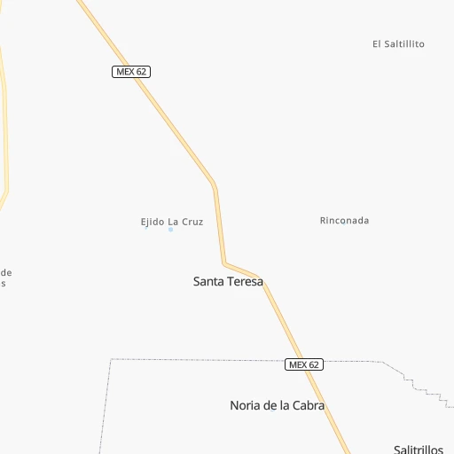
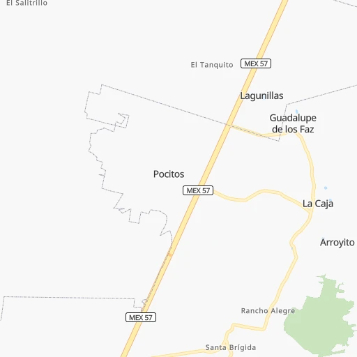
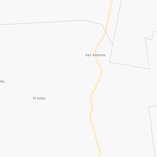
Roadmap (route) to go from Estación La Cabra to Ecatepec de Morelos detailed above, you can also see the course layout on the map.
While doing trip Estación La Cabra - Ecatepec de Morelos by car, the calculated route ends at a distance , or more straight.
Distance and duration of the route between Estación La Cabra and Ecatepec de Morelos
Calculation of distance and route from Ecatepec de Morelos to Estación La Cabra :
488.1578.8 km7h50mn
Continue 0h0mn 27 mTurn sharp left 0h1mn 594 mTurn right onto Carretera Cedral-Matehuala 0h3mn 2.3 kmTurn right onto Ramal a Ojo de Agua 0h7mn 6.1 kmAt roundabout, take exit 1 onto Carretera a la Paz 0h0mn 151 mTurn left onto Avenida Benito Juárez 0h3mn 3.4 kmTurn left onto Calle Leona Vicario 0h0mn 65 mTurn right onto Calle Juan Sarabia 0h1mn 456 mTurn left onto Calle Ceibas 0h0mn 344 mTurn left onto Calle Robles 0h0mn 100 mTurn right onto Boulevard Héroes Potosinos 2h1mn 161.8 kmKeep left onto Libramiento Oriente de San Luis Potosí 0h20mn 32.9 kmKeep left 2h47mn 157.3 kmKeep right 0h0mn 362 mKeep right 0h0mn 194 mKeep left 0h23mn 37.4 kmKeep left toward MEX 57, MEX 45, QRO 100 0h0mn 323 mKeep right toward MEX 57, MEX 45 2h44mn 155.2 kmKeep right 0h1mn 488 mKeep right 0h0mn 183 mTurn left onto Avenida Chalma 0h2mn 2.3 kmTurn right onto Avenida 16 de Septiembre 0h0mn 460 mTurn left onto Calle Alfonso Reyes 0h0mn 331 mTurn right onto Prolongación Venustiano Carranza 0h2mn 1.5 kmTurn left onto Avenida del Sabino 0h1mn 1.2 kmTurn left onto Avenida Miguel Hidalgo 0h4mn 3.0 kmTurn left onto Avenida De las Torres 0h2mn 2.2 kmTurn right onto Carretera Coacalco-Tultepec 0h0mn 456 mKeep left 0h6mn 6.6 kmTurn right onto Avenida Insurgentes 0h1mn 609 mTurn right onto Calle Puerto La Cruz 0h0mn 91 mTurn left onto Calle Puerto Bolívar 0h0mn 107 mTurn sharp right onto Calle Río Grande 0h0mn 44 mArrive at destination 0h0mn 0 m
Travel from Estación La Cabra (México) to a selection of major cities.
Distances from Estación La Cabra to biggest cities in San Luis Potosí
Other major cities in country :
- Acapulco de Juarez [12], 652,136 inhabitants. 771 km
- Coyoacan [09], 628,063 inhabitants. 513 km
- Santiago de Queretaro [22], 626,495 inhabitants. 352 km
- Saltillo [07], 621,250 inhabitants. 191 km
- Tlalpan [09], 607,545 inhabitants. 518 km
- Mexicali [02], 597,099 inhabitants. 1,753 km
- Hermosillo [26], 595,811 inhabitants. 1,188 km
- Morelia [16], 592,797 inhabitants. 452 km
- Veracruz [30], 568,313 inhabitants. 690 km
- Cancun [23], 542,043 inhabitants. 1,449 km
- Santa Maria Chimalhuacan [15], 525,389 inhabitants. 512 km
- Torreon [07], 524,066 inhabitants. 344 km
- Cuauhtemoc [09], 521,348 inhabitants. 503 km
- Ciudad Lopez Mateos [15], 521,034 inhabitants. 487 km
- Toluca [15], 505,881 inhabitants. 506 km
- Reynosa [28], 498,654 inhabitants. 355 km
- Tlaquepaque [14], 493,646 inhabitants. 438 km
- Tuxtla [05], 481,128 inhabitants. 1,107 km
- Cuautitlan Izcalli [15], 475,179 inhabitants. 480 km
- Victoria de Durango [10], 457,140 inhabitants. 407 km
Route from Ecatepec de Morelos to major cities (Mexico).
- Distance Ecatepec de Morelos Mexico City21 km
- Distance Ecatepec de Morelos Iztapalapa28 km
- Distance Ecatepec de Morelos Guadalajara468 km
- Distance Ecatepec de Morelos Puebla110 km
- Distance Ecatepec de Morelos Juarez1,538 km
- Distance Ecatepec de Morelos Tijuana2,292 km
- Distance Ecatepec de Morelos Gustavo Adolfo Madero13 km
- Distance Ecatepec de Morelos Monterrey688 km
- Distance Ecatepec de Morelos Leon de los Aldama321 km
- Distance Ecatepec de Morelos Zapopan469 km
- Distance Ecatepec de Morelos Chihuahua1,232 km
- Distance Ecatepec de Morelos Alvaro Obregon31 km
- Distance Ecatepec de Morelos Guadalupe687 km
- Distance Ecatepec de Morelos Merida998 km
- Distance Ecatepec de Morelos San Luis Potosi347 km
- Distance Ecatepec de Morelos Culiacan1,034 km
- Distance Ecatepec de Morelos Aguascalientes420 km
- Distance Ecatepec de Morelos Acapulco de Juarez320 km
- Distance Ecatepec de Morelos Coyoacan31 km
- Distance Ecatepec de Morelos Santiago de Queretaro177 km
Nearest cities to Estación La Cabra :
- Monterrey, 1,122,874 inhabitants. 219 km
- Leon de los Aldama, 1,114,626 inhabitants. 308 km
- Guadalupe, 724,921 inhabitants. 220 km
- San Luis Potosi, 677,704 inhabitants. 179 km
- Aguascalientes, 658,179 inhabitants. 265 km
- Saltillo, 621,250 inhabitants. 191 km
- Torreon, 524,066 inhabitants. 344 km
- Reynosa, 498,654 inhabitants. 355 km
- San Nicolas de los Garza, 443,273 inhabitants. 226 km
- Ciudad Apodaca, 352,064 inhabitants. 233 km
- Tampico, 309,003 inhabitants. 334 km
- Ciudad General Escobedo, 308,206 inhabitants. 232 km
- Ciudad Victoria, 269,923 inhabitants. 155 km
- Santa Catarina, 254,472 inhabitants. 217 km
- Gomez Palacio, 228,577 inhabitants. 352 km
- Soledad de Graciano Sanchez, 194,006 inhabitants. 174 km
- Ciudad Madero, 192,736 inhabitants. 333 km
- Ciudad Valles, 176,935 inhabitants. 258 km
- San Pedro Garza Garcia, 130,646 inhabitants. 216 km
- San Pedro Garza Garcia, 122,009 inhabitants. 216 km
- Zacatecas, 118,562 inhabitants. 223 km
- Fresnillo, 105,488 inhabitants. 233 km
- Matamoros, 104,024 inhabitants. 327 km
- Tantoyuca, 103,610 inhabitants. 365 km
- Guadalupe, 94,089 inhabitants. 219 km
- Ciudad Rio Bravo, 85,481 inhabitants. 361 km
- Lagos de Moreno, 84,677 inhabitants. 295 km
- Tepatitlan de Morelos, 83,694 inhabitants. 390 km
- Ciudad Mante, 79,981 inhabitants. 205 km
- Guanajuato, 78,364 inhabitants. 309 km
- San Miguel de Allende, 69,811 inhabitants. 314 km
- Cadereyta, 67,994 inhabitants. 217 km
- Matehuala, 67,717 inhabitants. 10 km
- Miramar, 67,689 inhabitants. 328 km
- San Francisco del Rincon, 66,949 inhabitants. 326 km
- Silao, 65,195 inhabitants. 321 km
- Ciudad Lerdo, 63,530 inhabitants. 352 km
- Dolores Hidalgo Cuna de la Independencia Nacional, 59,240 inhabitants. 288 km
- Linares, 57,731 inhabitants. 167 km
- Altamira, 54,954 inhabitants. 317 km
- Jardines de la Silla (Jardines), 53,742 inhabitants. 216 km
- Rioverde, 48,854 inhabitants. 212 km
- Valle Hermoso, 47,831 inhabitants. 360 km
- San Luis de la Paz, 47,321 inhabitants. 272 km
- San Juan de los Lagos, 45,671 inhabitants. 325 km
- Jerez de Garcia Salinas, 43,064 inhabitants. 267 km
- Jesus Maria, 43,012 inhabitants. 262 km
- San Pedro, 41,165 inhabitants. 320 km
- Huejutla de Reyes, 40,015 inhabitants. 370 km
- Ramos Arizpe, 38,258 inhabitants. 203 km
Location Estación La Cabra (San Luis Potosí) :
| Country flag |  |
| Location | Estación La Cabra |
| State | San Luis Potosí |
| County | Matehuala |
| Country | Mexico |
| Country code / ISO 2 | MX |
| Latitude | 23.7359500 |
| Longitude | -100.6672000 |
| Altitude | 0 meters |
| Time zone | America/Mexico_City |
Location Ecatepec de Morelos (México) :
| Country flag | |
| Location | Ecatepec de Morelos |
| State | México |
| County | Ecatepec de Morelos |
| Country | Mexico |
| Country code / ISO 2 | MX |
| Latitude | 19.6049200 |
| Longitude | -99.0606400 |
| Altitude | 0 meters |
| Time zone | America/Mexico_City |


