
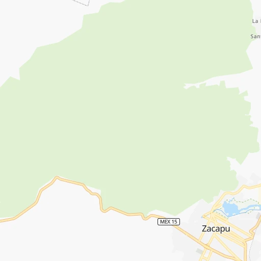
How to get from Zacapú (Michoacán) to Ciudad Hidalgo (Michoacán)
Calculate route from Zacapú (Michoacán, Mexico) to Ciudad Hidalgo (Michoacán, Mexico).
The flight distance (as the crow flies) between Zacapú and Ciudad Hidalgo is 130.1 km.
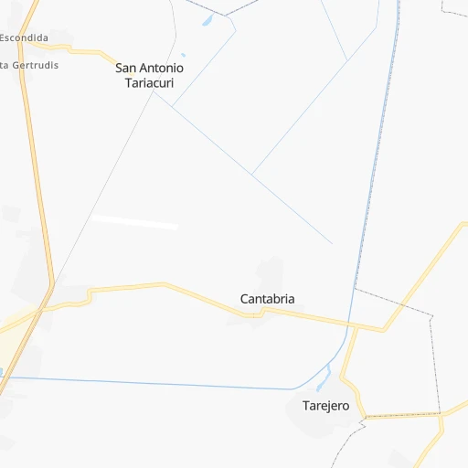
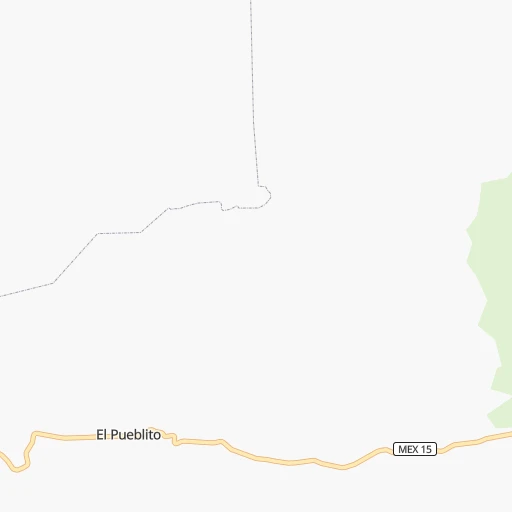
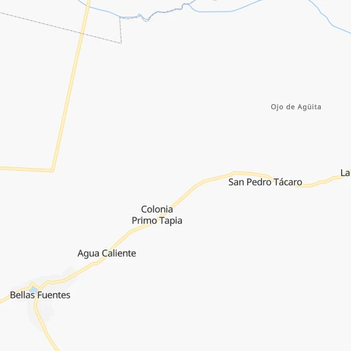
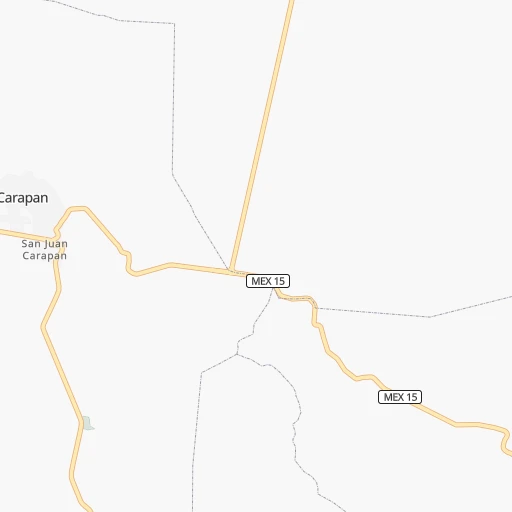
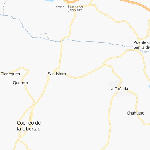
Roadmap (route) to go from Zacapú to Ciudad Hidalgo detailed above, you can also see the course layout on the map.
While doing trip Zacapú - Ciudad Hidalgo by car, the calculated route ends at a distance , or more straight.
Distance and duration of the route between Zacapú and Ciudad Hidalgo
Calculation of distance and route from Ciudad Hidalgo to Zacapú :
130.1163.9 km3h35mn
Continue onto Calle Ignacio López Rayón 0h1mn 425 mTurn right onto Avenida Morelos 0h1mn 714 mKeep left 0h0mn 23 mTurn right onto Avenida Morelos 0h1mn 1.4 kmTurn right 0h0mn 20 mTurn left 0h0mn 137 mTurn slight left onto Calle Ingeniero Elider Sánchez Aguilar 0h0mn 52 mTurn slight right onto Ingeniero Elider Sánchez Aguilar 0h11mn 5.7 kmTurn left 0h0mn 26 mTurn left onto Calle Ejido 0h1mn 543 mTurn right onto Calle Mártires de Agrarismo 0h0mn 102 mTurn slight left onto Avenida Melchor Ocampo 0h1mn 342 mTurn right onto Camino Real 0h0mn 7 mContinue onto Camino Real 0h1mn 555 mTurn left 0h0mn 173 mTurn left 0h0mn 14 mTurn sharp right onto Carretera Estatal: Entronque MICH 039 - Entronque MICH 024 0h4mn 3.1 kmTurn right onto Carretera Estatal: Entronque MICH 039 - Entronque MICH 024 0h0mn 252 mTurn left onto Carretera Municipal: Coeneo - La Cofradia - Bellas Fuentes 0h13mn 11.2 kmTurn left onto Calle Santa María 0h3mn 1.4 kmTurn left onto Carretera Estatal: Comanja - Huaniqueo 0h9mn 8.7 kmKeep left toward MICH 24 1h33mn 55.0 kmKeep right 0h1mn 508 mContinue onto Supercarretera Aeropuerto-Morelia 0h2mn 2.8 kmTurn left 0h0mn 27 mTurn right 0h3mn 1.6 kmTurn sharp left onto Carretera Huajumbaro-San José 0h3mn 4.4 kmKeep right 0h5mn 4.5 kmTurn left 0h3mn 2.3 kmTurn right 0h5mn 4.1 kmTurn right onto Avenida Venustiano Carranza 0h0mn 42 mTurn left onto Avenida Agricultura 0h1mn 903 mTurn left onto Calle Artículo Tercero 0h0mn 54 mTurn sharp right onto Calle Bordo del Río 0h2mn 775 mTurn left onto Atlacomulco - Morelia 0h0mn 50 mTurn right onto Calle Juárez 0h0mn 92 mKeep left onto Calle 5 de Mayo 0h1mn 996 mContinue 0h3mn 3.3 kmTurn left onto Calle Río Texcoco 0h6mn 5.0 kmTurn right onto MEX 120 0h17mn 18.4 kmKeep left onto MEX 120 0h0mn 53 mTurn slight left onto Toluca - Morelia 0h18mn 20.0 kmKeep right and drive toward Ciudad Hidalgo 0h2mn 2.0 kmTurn left onto Avenida Colegio las Fuentes 0h0mn 70 mTurn right onto Prolongación Melchor Ocampo 0h2mn 1.9 kmTurn left onto Calle Cuauhtémoc Norte 0h0mn 206 mArrive at destination 0h0mn 0 m
Travel from Zacapú (Michoacán) to a selection of major cities.
Distances from Zacapú to biggest cities in Michoacán
Other major cities in country :
- Aguascalientes [01], 658,179 inhabitants. 236 km
- Acapulco de Juarez [12], 652,136 inhabitants. 385 km
- Coyoacan [09], 628,063 inhabitants. 281 km
- Santiago de Queretaro [22], 626,495 inhabitants. 170 km
- Saltillo [07], 621,250 inhabitants. 630 km
- Tlalpan [09], 607,545 inhabitants. 282 km
- Mexicali [02], 597,099 inhabitants. 1,970 km
- Hermosillo [26], 595,811 inhabitants. 1,390 km
- Veracruz [30], 568,313 inhabitants. 597 km
- Cancun [23], 542,043 inhabitants. 1,565 km
- Santa Maria Chimalhuacan [15], 525,389 inhabitants. 301 km
- Torreon [07], 524,066 inhabitants. 659 km
- Cuauhtemoc [09], 521,348 inhabitants. 280 km
- Ciudad Lopez Mateos [15], 521,034 inhabitants. 267 km
- Toluca [15], 505,881 inhabitants. 232 km
- Reynosa [28], 498,654 inhabitants. 784 km
- Tlaquepaque [14], 493,646 inhabitants. 182 km
- Tuxtla [05], 481,128 inhabitants. 978 km
- Cuautitlan Izcalli [15], 475,179 inhabitants. 271 km
- Victoria de Durango [10], 457,140 inhabitants. 554 km
Route from Ciudad Hidalgo to major cities (Mexico).
- Distance Ciudad Hidalgo Mexico City153 km
- Distance Ciudad Hidalgo Iztapalapa161 km
- Distance Ciudad Hidalgo Ecatepec de Morelos157 km
- Distance Ciudad Hidalgo Guadalajara316 km
- Distance Ciudad Hidalgo Puebla257 km
- Distance Ciudad Hidalgo Juarez1,463 km
- Distance Ciudad Hidalgo Tijuana2,171 km
- Distance Ciudad Hidalgo Ciudad Nezahualcoyotl165 km
- Distance Ciudad Hidalgo Gustavo Adolfo Madero153 km
- Distance Ciudad Hidalgo Monterrey666 km
- Distance Ciudad Hidalgo Leon de los Aldama198 km
- Distance Ciudad Hidalgo Zapopan317 km
- Distance Ciudad Hidalgo Naucalpan de Juarez140 km
- Distance Ciudad Hidalgo Chihuahua1,143 km
- Distance Ciudad Hidalgo Alvaro Obregon147 km
- Distance Ciudad Hidalgo Guadalupe667 km
- Distance Ciudad Hidalgo Merida1,150 km
- Distance Ciudad Hidalgo Tlalnepantla144 km
- Distance Ciudad Hidalgo San Luis Potosi277 km
- Distance Ciudad Hidalgo Culiacan904 km
Nearest cities to Zacapú :
- Mexico City, 12,294,193 inhabitants. 283 km
- Iztapalapa, 1,820,888 inhabitants. 291 km
- Ecatepec de Morelos, 1,806,226 inhabitants. 287 km
- Guadalajara, 1,640,589 inhabitants. 192 km
- Ciudad Nezahualcoyotl, 1,232,220 inhabitants. 295 km
- Gustavo Adolfo Madero, 1,193,161 inhabitants. 283 km
- Leon de los Aldama, 1,114,626 inhabitants. 147 km
- Zapopan, 987,516 inhabitants. 195 km
- Naucalpan de Juarez, 846,185 inhabitants. 270 km
- Alvaro Obregon, 727,034 inhabitants. 276 km
- Tlalnepantla, 715,767 inhabitants. 274 km
- San Luis Potosi, 677,704 inhabitants. 273 km
- Aguascalientes, 658,179 inhabitants. 236 km
- Acapulco de Juarez, 652,136 inhabitants. 385 km
- Coyoacan, 628,063 inhabitants. 281 km
- Santiago de Queretaro, 626,495 inhabitants. 170 km
- Tlalpan, 607,545 inhabitants. 282 km
- Morelia, 592,797 inhabitants. 65 km
- Santa Maria Chimalhuacan, 525,389 inhabitants. 301 km
- Cuauhtemoc, 521,348 inhabitants. 280 km
- Ciudad Lopez Mateos, 521,034 inhabitants. 267 km
- Toluca, 505,881 inhabitants. 232 km
- Tlaquepaque, 493,646 inhabitants. 182 km
- Cuautitlan Izcalli, 475,179 inhabitants. 271 km
- Venustiano Carranza, 447,459 inhabitants. 285 km
- Azcapotzalco, 425,298 inhabitants. 276 km
- Xochimilco, 404,458 inhabitants. 289 km
- Tonala, 401,509 inhabitants. 176 km
- Iztacalco, 384,326 inhabitants. 286 km
- Xico, 365,777 inhabitants. 304 km
- Benito Juarez, 355,017 inhabitants. 280 km
- Miguel Hidalgo, 353,534 inhabitants. 275 km
- Ixtapaluca, 351,001 inhabitants. 310 km
- Tlahuac, 344,106 inhabitants. 298 km
- Cuernavaca, 343,769 inhabitants. 287 km
- Irapuato, 339,554 inhabitants. 106 km
- Coacalco, 313,405 inhabitants. 282 km
- Celaya, 305,901 inhabitants. 129 km
- Los Reyes Acaquilpan, 251,168 inhabitants. 299 km
- Colonia del Valle, 250,000 inhabitants. 280 km
- Nicolas Romero, 245,383 inhabitants. 261 km
- Ojo de Agua, 242,272 inhabitants. 292 km
- Uruapan, 237,308 inhabitants. 53 km
- Magdalena Contreras, 228,927 inhabitants. 276 km
- Buenavista, 206,081 inhabitants. 276 km
- Soledad de Graciano Sanchez, 194,006 inhabitants. 279 km
- Ciudad Valles, 176,935 inhabitants. 378 km
- Delegacion Cuajimalpa de Morelos, 173,625 inhabitants. 267 km
- San Pablo de las Salinas, 173,557 inhabitants. 283 km
- Metepec, 172,982 inhabitants. 238 km
Location Zacapú (Michoacán) :
| Country flag |  |
| Location | Zacapú |
| State | Michoacán |
| County | Zacapu |
| Country | Mexico |
| Country code / ISO 2 | MX |
| Latitude | 19.8139600 |
| Longitude | -101.7915700 |
| Altitude | 0 meters |
| Time zone | America/Mexico_City |
Location Ciudad Hidalgo (Michoacán) :
| Country flag | |
| Location | Ciudad Hidalgo |
| State | Michoacán |
| County | Hidalgo |
| Country | Mexico |
| Country code / ISO 2 | MX |
| Latitude | 19.6927000 |
| Longitude | -100.5544500 |
| Altitude | 0 meters |
| Time zone | America/Mexico_City |


