
How to get from Estación Luxardo (Cordoba) to Morteros (Cordoba)
Calculate route from Estación Luxardo (Cordoba, Argentina) to Morteros (Cordoba, Argentina).
The flight distance (as the crow flies) between Estación Luxardo and Morteros is 66.9 km.
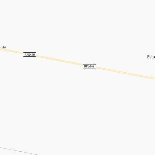
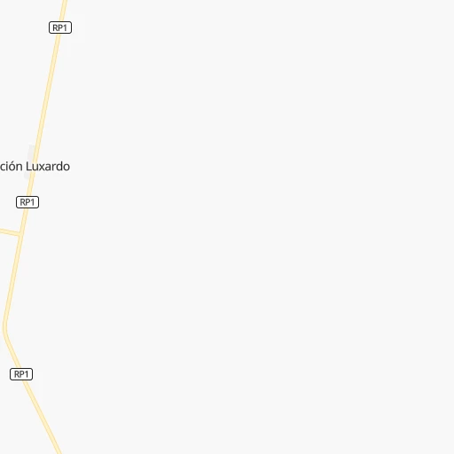
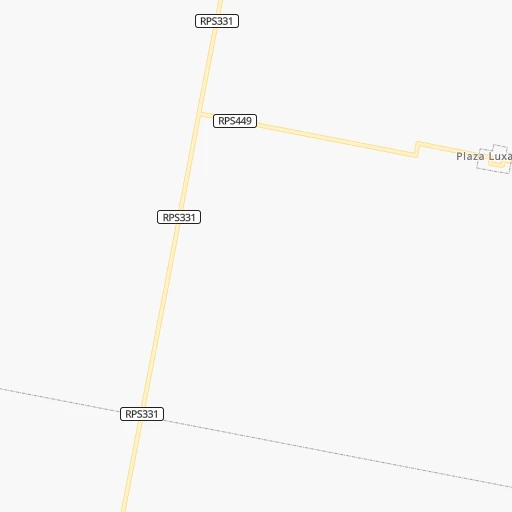
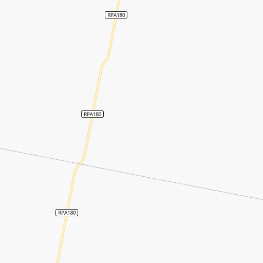
Roadmap (route) to go from Estación Luxardo to Morteros detailed above, you can also see the course layout on the map.
While doing trip Estación Luxardo - Morteros by car, the calculated route ends at a distance , or more straight.
Distance and duration of the route between Estación Luxardo and Morteros
Calculation of distance and route from Morteros to Estación Luxardo :
66.967.6 km1h53mn
Continue 0h0mn 17 mTurn left 0h0mn 150 mTurn left onto Ruta Provincial 1 0h14mn 14.1 kmKeep left onto Bulevar 25 de Mayo 0h0mn 58 mTurn slight left onto Bulevar 25 de Mayo 0h0mn 41 mTurn right onto Bulevar 25 de Mayo 0h3mn 3.2 kmContinue onto Ruta Provincial 1 0h8mn 14.0 kmTurn left onto Avenida 25 de Mayo 0h3mn 2.8 kmContinue onto Ruta Provincial 1 0h8mn 13.5 kmKeep left 0h0mn 52 mKeep left 0h0mn 9 mTurn slight left onto Boulevard Alicia Moreau de Justo 0h2mn 1.9 kmContinue onto Boulevard Hipólito Irigoyen 0h2mn 1.4 kmContinue onto Ruta Provincial 1 0h8mn 12.9 kmKeep left 0h0mn 56 mTurn slight left onto Boulevard Doctor Arturo Frondizi 0h3mn 2.4 kmAt roundabout, take exit 2 onto Boulevard Belgrano 0h1mn 774 mTurn right onto Sarmiento 0h1mn 343 mArrive at destination 0h0mn 0 m
Travel from Estación Luxardo (Cordoba) to a selection of major cities.
Distances from Estación Luxardo to biggest cities in Cordoba
Other major cities in country :
- Formosa [09], 221,383 inhabitants. 689 km
- San Fernando del Valle de Catamarca [02], 188,812 inhabitants. 473 km
- San Luis [19], 183,982 inhabitants. 453 km
- Berazategui [01], 167,498 inhabitants. 531 km
- La Rioja [12], 162,620 inhabitants. 500 km
- Balvanera [07], 152,198 inhabitants. 507 km
- Concordia [08], 145,210 inhabitants. 391 km
- Comodoro Rivadavia [04], 140,850 inhabitants. 1,686 km
- Belgrano [07], 138,942 inhabitants. 500 km
- San Nicolas de los Arroyos [01], 127,742 inhabitants. 290 km
- Villa Lugano [07], 114,000 inhabitants. 508 km
- Santa Rosa [11], 111,424 inhabitants. 624 km
- San Rafael [13], 109,163 inhabitants. 686 km
- Tandil [01], 104,325 inhabitants. 725 km
- Villa Mercedes [19], 96,781 inhabitants. 409 km
- San Carlos de Bariloche [16], 95,394 inhabitants. 1,369 km
- Trelew [04], 93,442 inhabitants. 1,359 km
- Reconquista [21], 90,184 inhabitants. 338 km
- Zarate [01], 88,781 inhabitants. 426 km
- Rafaela [21], 88,713 inhabitants. 62 km
Route from Morteros to major cities (Argentina).
- Distance Morteros Buenos Aires551 km
- Distance Morteros Rosario280 km
- Distance Morteros Mendoza690 km
- Distance Morteros San Miguel de Tucuman535 km
- Distance Morteros La Plata602 km
- Distance Morteros Mar del Plata908 km
- Distance Morteros Quilmes568 km
- Distance Morteros Salta740 km
- Distance Morteros Santa Fe de la Vera Cruz161 km
- Distance Morteros San Juan630 km
- Distance Morteros Resistencia466 km
- Distance Morteros Santiago del Estero392 km
- Distance Morteros Corrientes473 km
- Distance Morteros Posadas701 km
- Distance Morteros Moron541 km
- Distance Morteros San Salvador de Jujuy795 km
- Distance Morteros Bahia Blanca892 km
- Distance Morteros Parana181 km
- Distance Morteros Neuquen1,071 km
- Distance Morteros Pilar508 km
Nearest cities to Estación Luxardo :
- Cordoba, 1,428,214 inhabitants. 195 km
- Rosario, 1,173,533 inhabitants. 231 km
- Santa Fe de la Vera Cruz, 489,505 inhabitants. 141 km
- Parana, 262,295 inhabitants. 160 km
- Rio Cuarto, 153,757 inhabitants. 292 km
- San Nicolas de los Arroyos, 127,742 inhabitants. 290 km
- Villa Maria, 92,453 inhabitants. 162 km
- Reconquista, 90,184 inhabitants. 338 km
- Rafaela, 88,713 inhabitants. 62 km
- Pergamino, 87,652 inhabitants. 323 km
- Gobernador Galvez, 74,650 inhabitants. 238 km
- Venado Tuerto, 72,340 inhabitants. 272 km
- Goya, 70,245 inhabitants. 366 km
- Villa Carlos Paz, 69,451 inhabitants. 225 km
- Santo Tome, 59,072 inhabitants. 136 km
- San Francisco, 59,062 inhabitants. 15 km
- Rio Tercero, 53,389 inhabitants. 211 km
- San Pedro, 47,452 inhabitants. 352 km
- Villa Constitucion, 44,271 inhabitants. 273 km
- Alta Gracia, 40,384 inhabitants. 221 km
- Canada de Gomez, 36,000 inhabitants. 182 km
- Esperanza, 35,885 inhabitants. 115 km
- Bell Ville, 35,105 inhabitants. 156 km
- Gualeguay, 33,120 inhabitants. 336 km
- Granadero Baigorria, 32,427 inhabitants. 219 km
- Casilda, 32,002 inhabitants. 214 km
- Cruz del Eje, 28,166 inhabitants. 263 km
- Capitan Bermudez, 27,060 inhabitants. 216 km
- Jesus Maria, 26,825 inhabitants. 190 km
- Esquina, 26,399 inhabitants. 288 km
- Victoria, 25,139 inhabitants. 237 km
- La Calera, 24,796 inhabitants. 209 km
- La Paz, 24,716 inhabitants. 245 km
- Perez, 24,436 inhabitants. 228 km
- Marcos Juarez, 24,226 inhabitants. 155 km
- Avellaneda, 23,077 inhabitants. 340 km
- San Justo, 21,809 inhabitants. 158 km
- Villa Allende, 21,683 inhabitants. 206 km
- Anatuya, 20,261 inhabitants. 323 km
- Dean Funes, 20,164 inhabitants. 233 km
- Arroyo Seco, 20,008 inhabitants. 257 km
- Laboulaye, 19,908 inhabitants. 336 km
- Vera, 19,797 inhabitants. 276 km
- Arroyito, 19,577 inhabitants. 88 km
- Diamante, 19,545 inhabitants. 165 km
- Villa Ocampo, 19,101 inhabitants. 412 km
- Cosquin, 19,070 inhabitants. 222 km
- Sunchales, 18,757 inhabitants. 68 km
- Santa Elena, 18,410 inhabitants. 227 km
- Galvez, 18,374 inhabitants. 118 km
Location Estación Luxardo (Cordoba) :
| Country flag |  |
| Location | Estación Luxardo |
| State | Cordoba |
| County | Departamento de San Justo |
| Country | Argentina |
| Country code / ISO 2 | AR |
| Latitude | -31.3022700 |
| Longitude | -62.1331100 |
| Altitude | 0 meters |
| Time zone | America/Argentina/Cordoba |
Location Morteros (Cordoba) :
| Country flag | |
| Location | Morteros |
| State | Cordoba |
| County | Departamento de San Justo |
| Country | Argentina |
| Country code / ISO 2 | AR |
| Latitude | -30.7116400 |
| Longitude | -61.9986200 |
| Altitude | 0 meters |
| Time zone | America/Argentina/Cordoba |