

How to get from Ciudad López Mateos (México) to Chalco (México)
Calculate route from Ciudad López Mateos (México, Mexico) to Chalco (México, Mexico).
The flight distance (as the crow flies) between Ciudad López Mateos and Chalco is 50.0 km.
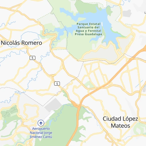
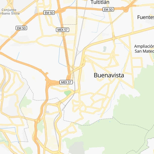
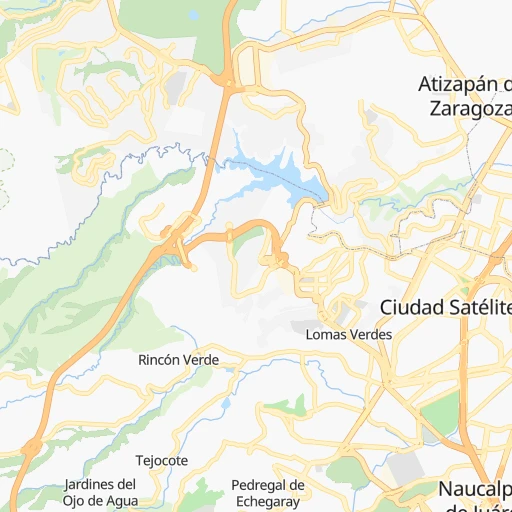
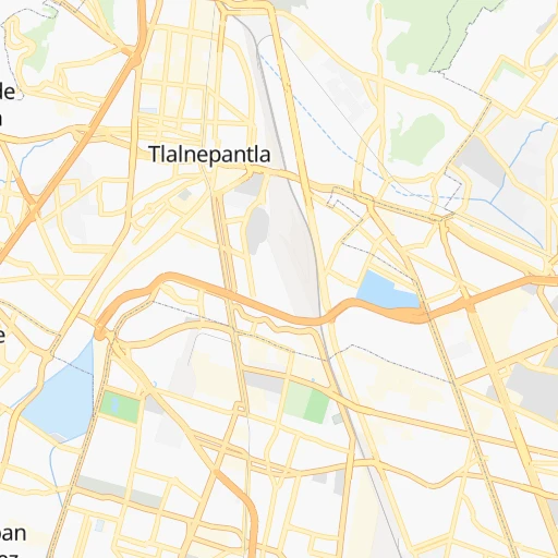
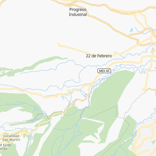
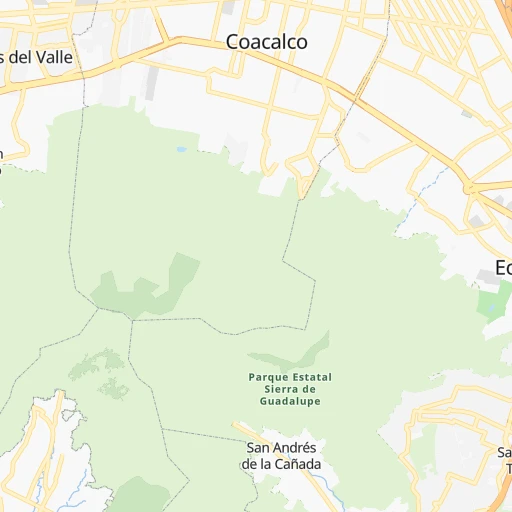
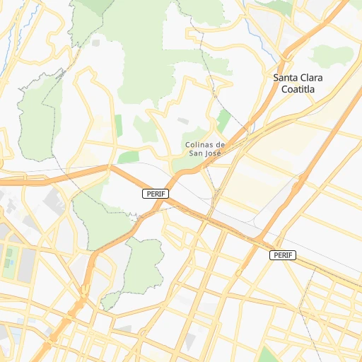
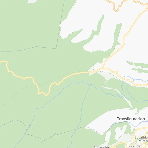
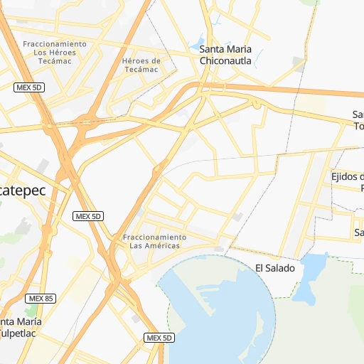
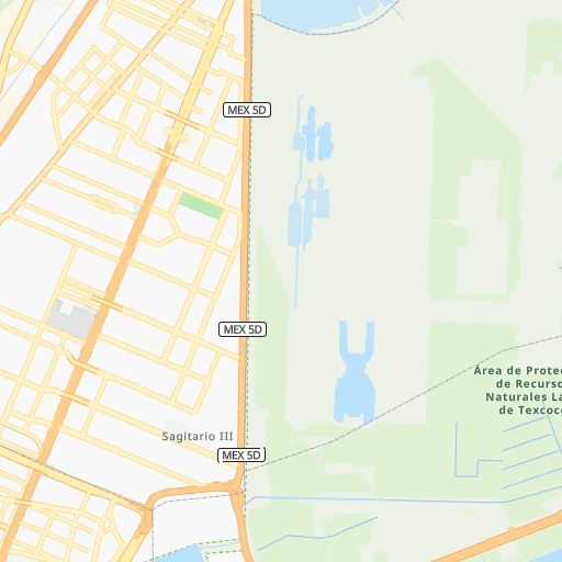
Roadmap (route) to go from Ciudad López Mateos to Chalco detailed above, you can also see the course layout on the map.
While doing trip Ciudad López Mateos - Chalco by car, the calculated route ends at a distance , or more straight.
Distance and duration of the route between Ciudad López Mateos and Chalco
Calculation of distance and route from Chalco to Ciudad López Mateos :
50.053.4 km1h53mn
Continue onto Calle Isidro Fabela 0h1mn 260 mTurn right onto Avenida Adolfo Ruiz Cortinez 0h0mn 20 mMake a U-turn onto Avenida Adolfo Ruiz Cortinez 0h3mn 3.3 kmKeep left 0h0mn 14 mKeep right 0h0mn 113 mKeep right onto Boulevard Adolfo López Mateos 0h1mn 1.5 kmContinue onto Calle Convento De Santa Mónica 0h0mn 250 mContinue onto Calle Convento De Santa Mónica 0h1mn 1.2 kmTurn right onto Calle Benito Juárez 0h0mn 282 mTurn left onto Avenida Santa Mónica 0h3mn 3.4 kmContinue onto Avenida Aquiles Serdán 0h1mn 1.7 kmKeep right 0h0mn 407 mTurn left onto Avenida Manuel Acuña 0h3mn 3.4 kmTurn slight left onto Calzada de Los Gallos 0h4mn 3.6 kmAt roundabout, take exit 4 onto Calle Comonfort 0h1mn 545 mTurn left onto Avenida Ignacio López Rayón 0h3mn 3.4 kmKeep right onto Avenida Iztaccíhuatl 0h0mn 222 mTurn right onto Calle Carlos Santana 0h0mn 22 mTurn left onto Avenida Iztaccíhuatl 0h2mn 1.4 kmTurn left onto Calzada General Ignacio Zaragoza 0h11mn 11.8 kmKeep right onto Calzada General Ignacio Zaragoza and drive toward Puebla Libre, Texcoco, Los Reyes La Paz 0h2mn 2.0 kmKeep left toward MEX 150D 0h4mn 5.8 kmKeep right and drive toward Valle de Chalco 0h1mn 512 mKeep right 0h0mn 40 mContinue onto Autopista México Puebla 0h3mn 2.7 kmKeep left onto Avenida Francisco Villa 0h1mn 1.2 kmKeep right 0h0mn 216 mTurn slight left 0h0mn 33 mTurn right onto Avenida Solidaridad 0h3mn 2.3 kmContinue onto Avenida Solidaridad 0h1mn 1.2 kmTurn sharp right onto Avenida Cuauhtémoc 0h0mn 365 mTurn left onto Calle Enseñanza Técnica 0h1mn 261 mArrive at destination 0h0mn 0 m
Travel from Ciudad López Mateos (México) to a selection of major cities.
Distances from Ciudad López Mateos to biggest cities in México
- Cuautitlan,84,737 inhabitants.15 km
- Chicoloapan,84,440 inhabitants.40 km
- Fuentes del Valle,74,087 inhabitants.15 km
- Chiautla,73,696 inhabitants.39 km
- San Mateo Atenco,68,602 inhabitants.43 km
- Tultepec,65,338 inhabitants.20 km
- Teoloyucan,61,376 inhabitants.22 km
- San Salvador Tizatlalli,61,367 inhabitants.48 km
- Zinacantepec,54,220 inhabitants.59 km
- Zumpango,50,742 inhabitants.31 km
- San Buenaventura,44,761 inhabitants.50 km
- Tepotzotlan,44,517 inhabitants.18 km
- Santiago Teyahualco,41,757 inhabitants.18 km
- Colonia Santa Teresa,36,845 inhabitants.32 km
- San Jeronimo Cuatro Vientos,36,778 inhabitants.53 km
- Coyotepec,35,793 inhabitants.25 km
- San Martin Azcatepec,35,390 inhabitants.33 km
- Melchor Ocampo,34,489 inhabitants.20 km
- San Isidro,33,737 inhabitants.40 km
- Amecameca,31,718 inhabitants.71 km
Other major cities in country :
- Saltillo [07], 621,250 inhabitants. 677 km
- Tlalpan [09], 607,545 inhabitants. 31 km
- Mexicali [02], 597,099 inhabitants. 2,172 km
- Hermosillo [26], 595,811 inhabitants. 1,593 km
- Morelia [16], 592,797 inhabitants. 203 km
- Veracruz [30], 568,313 inhabitants. 330 km
- Cancun [23], 542,043 inhabitants. 1,307 km
- Torreon [07], 524,066 inhabitants. 792 km
- Cuauhtemoc [09], 521,348 inhabitants. 17 km
- Reynosa [28], 498,654 inhabitants. 733 km
- Tlaquepaque [14], 493,646 inhabitants. 439 km
- Tuxtla [05], 481,128 inhabitants. 721 km
- Victoria de Durango [10], 457,140 inhabitants. 747 km
- Heroica Matamoros [28], 449,815 inhabitants. 726 km
- Venustiano Carranza [09], 447,459 inhabitants. 20 km
- San Nicolas de los Garza [19], 443,273 inhabitants. 697 km
- Azcapotzalco [09], 425,298 inhabitants. 11 km
- Xalapa de Enriquez [30], 425,148 inhabitants. 246 km
- Xochimilco [09], 404,458 inhabitants. 37 km
- Tonala [14], 401,509 inhabitants. 432 km
Route from Chalco to major cities (Mexico).
- Distance Chalco Mexico City30 km
- Distance Chalco Iztapalapa20 km
- Distance Chalco Guadalajara496 km
- Distance Chalco Puebla77 km
- Distance Chalco Juarez1,580 km
- Distance Chalco Tijuana2,330 km
- Distance Chalco Gustavo Adolfo Madero34 km
- Distance Chalco Monterrey729 km
- Distance Chalco Leon de los Aldama357 km
- Distance Chalco Zapopan497 km
- Distance Chalco Chihuahua1,274 km
- Distance Chalco Alvaro Obregon34 km
- Distance Chalco Guadalupe728 km
- Distance Chalco Merida988 km
- Distance Chalco San Luis Potosi388 km
- Distance Chalco Culiacan1,070 km
- Distance Chalco Aguascalientes458 km
- Distance Chalco Acapulco de Juarez289 km
- Distance Chalco Coyoacan29 km
- Distance Chalco Santiago de Queretaro215 km
Nearest cities to Ciudad López Mateos :
- Mexico City, 12,294,193 inhabitants. 20 km
- Iztapalapa, 1,820,888 inhabitants. 30 km
- Ecatepec de Morelos, 1,806,226 inhabitants. 21 km
- Puebla, 1,590,256 inhabitants. 125 km
- Ciudad Nezahualcoyotl, 1,232,220 inhabitants. 31 km
- Gustavo Adolfo Madero, 1,193,161 inhabitants. 17 km
- Leon de los Aldama, 1,114,626 inhabitants. 307 km
- Naucalpan de Juarez, 846,185 inhabitants. 9 km
- Alvaro Obregon, 727,034 inhabitants. 23 km
- Tlalnepantla, 715,767 inhabitants. 7 km
- San Luis Potosi, 677,704 inhabitants. 340 km
- Acapulco de Juarez, 652,136 inhabitants. 309 km
- Coyoacan, 628,063 inhabitants. 26 km
- Santiago de Queretaro, 626,495 inhabitants. 165 km
- Tlalpan, 607,545 inhabitants. 31 km
- Morelia, 592,797 inhabitants. 203 km
- Santa Maria Chimalhuacan, 525,389 inhabitants. 36 km
- Cuauhtemoc, 521,348 inhabitants. 17 km
- Ciudad Lopez Mateos, 521,034 inhabitants. 0 km
- Toluca, 505,881 inhabitants. 51 km
- Cuautitlan Izcalli, 475,179 inhabitants. 10 km
- Venustiano Carranza, 447,459 inhabitants. 20 km
- Azcapotzalco, 425,298 inhabitants. 11 km
- Xalapa de Enriquez, 425,148 inhabitants. 246 km
- Xochimilco, 404,458 inhabitants. 37 km
- Iztacalco, 384,326 inhabitants. 25 km
- Xico, 365,777 inhabitants. 45 km
- Benito Juarez, 355,017 inhabitants. 21 km
- Miguel Hidalgo, 353,534 inhabitants. 15 km
- Ixtapaluca, 351,001 inhabitants. 48 km
- Tlahuac, 344,106 inhabitants. 40 km
- Cuernavaca, 343,769 inhabitants. 70 km
- Irapuato, 339,554 inhabitants. 252 km
- Pachuca de Soto, 319,581 inhabitants. 83 km
- Coacalco, 313,405 inhabitants. 18 km
- Tampico, 309,003 inhabitants. 334 km
- Celaya, 305,901 inhabitants. 195 km
- Oaxaca, 262,566 inhabitants. 386 km
- Los Reyes Acaquilpan, 251,168 inhabitants. 36 km
- Colonia del Valle, 250,000 inhabitants. 22 km
- Nicolas Romero, 245,383 inhabitants. 11 km
- Ojo de Agua, 242,272 inhabitants. 29 km
- Tehuacan, 241,429 inhabitants. 230 km
- Uruapan, 237,308 inhabitants. 294 km
- Magdalena Contreras, 228,927 inhabitants. 26 km
- Buenavista, 206,081 inhabitants. 11 km
- Soledad de Graciano Sanchez, 194,006 inhabitants. 341 km
- Ciudad Madero, 192,736 inhabitants. 336 km
- Ciudad Valles, 176,935 inhabitants. 273 km
- Poza Rica de Hidalgo, 174,526 inhabitants. 217 km
Location Ciudad López Mateos (México) :
| Country flag |  |
| Location | Ciudad López Mateos |
| State | México |
| County | Atizapán de Zaragoza |
| Country | Mexico |
| Country code / ISO 2 | MX |
| Latitude | 19.5579300 |
| Longitude | -99.2567500 |
| Altitude | 0 meters |
| Time zone | America/Mexico_City |
Location Chalco (México) :
| Country flag | |
| Location | Chalco |
| State | México |
| County | Chalco |
| Country | Mexico |
| Country code / ISO 2 | MX |
| Latitude | 19.2617400 |
| Longitude | -98.8977500 |
| Altitude | 0 meters |
| Time zone | America/Mexico_City |

