
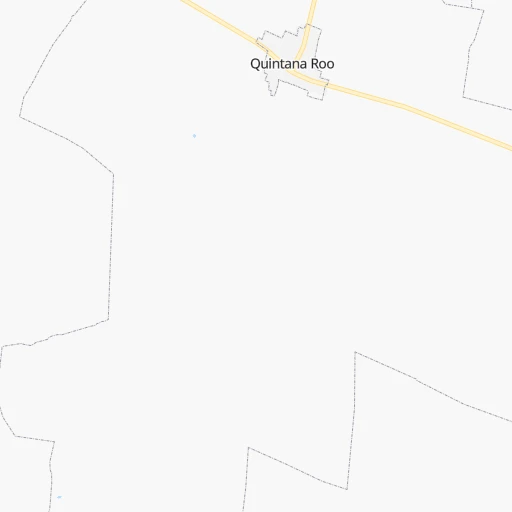
How to get from Quintana Roo (Yucatán) to Champotón (Campeche)
Calculate route from Quintana Roo (Yucatán, Mexico) to Champotón (Campeche, Mexico).
The flight distance (as the crow flies) between Quintana Roo and Champotón is 276.2 km.
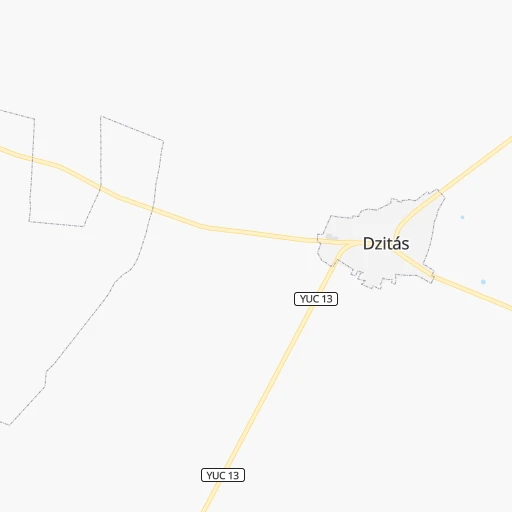
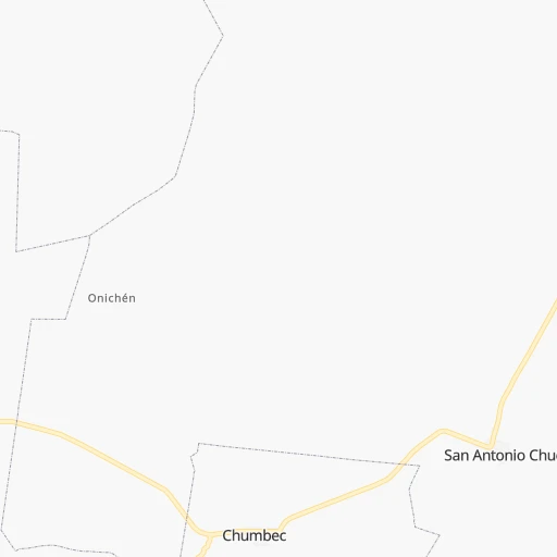
Roadmap (route) to go from Quintana Roo to Champotón detailed above, you can also see the course layout on the map.
While doing trip Quintana Roo - Champotón by car, the calculated route ends at a distance , or more straight.
Distance and duration of the route between Quintana Roo and Champotón
Calculation of distance and route from Champotón to Quintana Roo :
276.2343.3 km5h47mn
Continue onto Calle 15 0h1mn 283 mTurn left onto Calle 26 0h0mn 189 mTurn right onto Calle 17 0h1mn 323 mTurn left 0h0mn 103 mTurn right onto Calle 21 1h38mn 41.3 kmTurn right onto Calle 24 0h0mn 161 mTurn left onto Calle 29 0h1mn 262 mTurn left onto Calle 26 A 0h0mn 261 mTurn left onto Calle 30 0h0mn 76 mTurn right onto Calle 31 0h0mn 83 mTurn left onto Calle 30 A 0h0mn 81 mTurn right onto Calle 31 A 0h0mn 57 mTurn left onto Calle 32 0h0mn 84 mTurn right onto Calle 33 0h1mn 1.0 kmTurn right onto Calle 46 0h0mn 170 mTurn left onto Calle 31 0h19mn 20.1 kmKeep right toward MEX 180 1h36mn 42.2 kmAt roundabout, take exit 3 onto Calle 10 0h10mn 13.7 kmKeep right and take MEX 180 toward Campeche, Uxmal 0h20mn 23.7 kmKeep right 0h0mn 483 mKeep right 0h0mn 80 mContinue onto Calle 18 0h1mn 878 mTurn right onto Calle 18 0h0mn 80 mTurn left onto Calle 20 0h2mn 1.3 kmKeep right 0h11mn 13.2 kmKeep right 1h54mn 64.9 kmKeep right onto Calle 12 0h4mn 3.7 kmKeep right 0h6mn 6.8 kmKeep right 0h1mn 725 mContinue onto Calle 10 0h2mn 2.4 kmTurn right onto Calle 19 0h0mn 53 mTurn left onto Calle 8 0h2mn 1.5 kmTurn left 0h0mn 42 mKeep right 1h37mn 44.6 kmKeep right 1h36mn 56.7 kmTurn left onto Calle 30 0h1mn 475 mTurn left onto Calle 34 0h1mn 595 mTurn left onto Calle 37 0h1mn 462 mTurn right onto Calle 20 0h0mn 96 mArrive at destination 0h0mn 0 m
Travel from Quintana Roo (Campeche) to a selection of major cities.
Distances from Quintana Roo to biggest cities in Yucatán
Other major cities in country :
- Acapulco de Juarez [12], 652,136 inhabitants. 1,269 km
- Coyoacan [09], 628,063 inhabitants. 1,114 km
- Santiago de Queretaro [22], 626,495 inhabitants. 1,224 km
- Saltillo [07], 621,250 inhabitants. 1,363 km
- Tlalpan [09], 607,545 inhabitants. 1,115 km
- Mexicali [02], 597,099 inhabitants. 2,958 km
- Hermosillo [26], 595,811 inhabitants. 2,429 km
- Morelia [16], 592,797 inhabitants. 1,317 km
- Veracruz [30], 568,313 inhabitants. 808 km
- Cancun [23], 542,043 inhabitants. 188 km
- Santa Maria Chimalhuacan [15], 525,389 inhabitants. 1,090 km
- Torreon [07], 524,066 inhabitants. 1,599 km
- Cuauhtemoc [09], 521,348 inhabitants. 1,110 km
- Ciudad Lopez Mateos [15], 521,034 inhabitants. 1,119 km
- Toluca [15], 505,881 inhabitants. 1,166 km
- Reynosa [28], 498,654 inhabitants. 1,143 km
- Tlaquepaque [14], 493,646 inhabitants. 1,526 km
- Tuxtla [05], 481,128 inhabitants. 658 km
- Cuautitlan Izcalli [15], 475,179 inhabitants. 1,114 km
- Victoria de Durango [10], 457,140 inhabitants. 1,685 km
Route from Champotón to major cities (Mexico).
- Distance Champotón Mexico City883 km
- Distance Champotón Iztapalapa876 km
- Distance Champotón Ecatepec de Morelos876 km
- Distance Champotón Guadalajara1,333 km
- Distance Champotón Puebla787 km
- Distance Champotón Juarez2,092 km
- Distance Champotón Tijuana2,999 km
- Distance Champotón Ciudad Nezahualcoyotl871 km
- Distance Champotón Gustavo Adolfo Madero881 km
- Distance Champotón Monterrey1,212 km
- Distance Champotón Leon de los Aldama1,161 km
- Distance Champotón Zapopan1,333 km
- Distance Champotón Naucalpan de Juarez894 km
- Distance Champotón Chihuahua1,871 km
- Distance Champotón Alvaro Obregon891 km
- Distance Champotón Guadalupe1,207 km
- Distance Champotón Merida215 km
- Distance Champotón Tlalnepantla890 km
- Distance Champotón San Luis Potosi1,112 km
- Distance Champotón Culiacan1,821 km
Nearest cities to Quintana Roo :
- Merida, 717,175 inhabitants. 103 km
- Cancun, 542,043 inhabitants. 188 km
- Campeche, 205,212 inhabitants. 229 km
- Chetumal, 134,412 inhabitants. 265 km
- Playa del Carmen, 100,383 inhabitants. 164 km
- Kanasin, 77,240 inhabitants. 97 km
- Cozumel, 73,934 inhabitants. 181 km
- Progreso, 47,124 inhabitants. 116 km
- Tizimin, 41,993 inhabitants. 58 km
- Valladolid, 39,663 inhabitants. 49 km
- Ticul, 30,282 inhabitants. 108 km
- Uman, 28,472 inhabitants. 116 km
- Escarcega, 28,159 inhabitants. 336 km
- Champoton, 24,809 inhabitants. 277 km
- Felipe Carrillo Puerto, 23,109 inhabitants. 156 km
- Tecax, 22,806 inhabitants. 101 km
- Hunucma, 22,288 inhabitants. 130 km
- Oxkutzkab, 21,508 inhabitants. 103 km
- Motul, 21,109 inhabitants. 72 km
- Chichen-Itza, 18,000 inhabitants. 24 km
- Peto, 17,607 inhabitants. 88 km
- Izamal, 14,954 inhabitants. 41 km
- Calkini, 14,195 inhabitants. 158 km
- Isla Mujeres, 12,491 inhabitants. 201 km
- Maxcanu, 11,930 inhabitants. 146 km
- Bacalar, 11,513 inhabitants. 245 km
- Muna, 11,363 inhabitants. 121 km
- Dzitbalche, 10,902 inhabitants. 161 km
- Chemax, 10,596 inhabitants. 76 km
- Tixkokob, 10,228 inhabitants. 81 km
- Hecelchakan, 10,153 inhabitants. 175 km
- Alfredo V. Bonfil, 10,153 inhabitants. 187 km
- Espita, 9,960 inhabitants. 37 km
- Acanceh, 9,892 inhabitants. 86 km
- Akil, 9,858 inhabitants. 101 km
- Tzucacab, 9,819 inhabitants. 99 km
- Halacho, 9,165 inhabitants. 157 km
- Seybaplaya, 8,884 inhabitants. 255 km
- Tekit, 8,852 inhabitants. 82 km
- Tekoh, 8,700 inhabitants. 89 km
- Tulum, 8,390 inhabitants. 142 km
- Dzidzantun, 8,301 inhabitants. 60 km
- Pomuch, 7,838 inhabitants. 181 km
- Seye, 7,834 inhabitants. 77 km
- Kantunilkin, 7,205 inhabitants. 122 km
- Buctzotz, 7,162 inhabitants. 41 km
- Hopelchen, 7,021 inhabitants. 178 km
- Becal, 6,894 inhabitants. 153 km
- Tenabo, 6,814 inhabitants. 190 km
- Cacalchen, 6,671 inhabitants. 63 km
Location Quintana Roo (Yucatán) :
| Country flag |  |
| Location | Quintana Roo |
| State | Yucatán |
| County | Quintana Roo |
| Country | Mexico |
| Country code / ISO 2 | MX |
| Latitude | 20.8716900 |
| Longitude | -88.6300100 |
| Altitude | 0 meters |
| Time zone | America/Merida |
Location Champotón (Campeche) :
| Country flag | |
| Location | Champotón |
| State | Campeche |
| County | Champotón |
| Country | Mexico |
| Country code / ISO 2 | MX |
| Latitude | 19.3474500 |
| Longitude | -90.7203900 |
| Altitude | 0 meters |
| Time zone | America/Merida |