

How to get from Estación La Vitícola (Salto) to Tacuarembó (Tacuarembó)
Calculate route from Estación La Vitícola (Salto, Uruguay) to Tacuarembó (Tacuarembó, Uruguay).
The flight distance (as the crow flies) between Estación La Vitícola and Tacuarembó is 171.8 km.
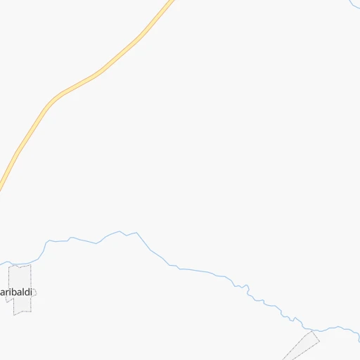
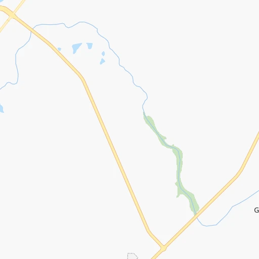
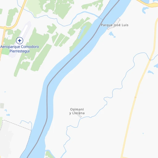
Roadmap (route) to go from Estación La Vitícola to Tacuarembó detailed above, you can also see the course layout on the map.
While doing trip Estación La Vitícola - Tacuarembó by car, the calculated route ends at a distance , or more straight.
Distance and duration of the route between Estación La Vitícola and Tacuarembó
Calculation of distance and route from Tacuarembó to Estación La Vitícola :
171.8207.8 km4h41mn
Continue 0h5mn 2.5 kmTurn left 0h4mn 1.8 kmTurn slight right 0h5mn 2.4 kmTurn left 0h7mn 3.7 kmTurn left onto Ruta 31 1h59mn 59.5 kmKeep right onto Ruta 31 2h41mn 100.6 kmTurn left onto Ruta 31 1h33mn 32.9 kmKeep right onto Ruta 31 0h4mn 2.9 kmKeep right onto Cesar Ortiz y Ayala 0h2mn 1.2 kmTurn left onto Treinta y Tres 0h0mn 132 mArrive at destination 0h0mn 0 m
Travel from Estación La Vitícola (Tacuarembó) to a selection of major cities.
Distances from Estación La Vitícola to biggest cities in Salto
Other major cities in country :
Route from Tacuarembó to major cities (Uruguay).
Nearest cities to Estación La Vitícola :
- Salto, 99,823 inhabitants. 23 km
- Paysandu, 73,249 inhabitants. 116 km
- Rivera, 64,631 inhabitants. 213 km
- Tacuarembo, 51,854 inhabitants. 172 km
- Mercedes, 42,359 inhabitants. 217 km
- Artigas, 41,909 inhabitants. 158 km
- Durazno, 33,926 inhabitants. 256 km
- Florida, 32,234 inhabitants. 340 km
- Fray Bentos, 23,279 inhabitants. 208 km
- Trinidad, 21,429 inhabitants. 257 km
- Carmelo, 16,921 inhabitants. 303 km
- Young, 15,924 inhabitants. 154 km
- Dolores, 15,880 inhabitants. 251 km
- Paso de los Toros, 13,221 inhabitants. 203 km
- Bella Union, 13,171 inhabitants. 118 km
- Nueva Helvecia, 10,054 inhabitants. 335 km
- Nueva Palmira, 9,335 inhabitants. 291 km
- Rosario, 9,308 inhabitants. 336 km
- Tranqueras, 7,474 inhabitants. 189 km
- Sarandi del Yi, 7,367 inhabitants. 300 km
- San Ramon, 7,008 inhabitants. 371 km
- Sarandi Grande, 6,441 inhabitants. 299 km
- Tarariras, 6,069 inhabitants. 328 km
- Guichon, 5,051 inhabitants. 127 km
- Cardona, 4,712 inhabitants. 286 km
- Florencio Sanchez, 3,587 inhabitants. 287 km
- Minas de Corrales, 3,509 inhabitants. 217 km
- Ombues de Lavalle, 3,482 inhabitants. 292 km
Location Estación La Vitícola (Salto) :
| Country flag |  |
| Location | Estación La Vitícola |
| State | Salto |
| County | San Antonio |
| Country | Uruguay |
| Country code / ISO 2 | UY |
| Latitude | -31.3166700 |
| Longitude | -57.7333300 |
| Altitude | 0 meters |
| Time zone | America/Montevideo |
Location Tacuarembó (Tacuarembó) :
| Country flag | |
| Location | Tacuarembó |
| State | Tacuarembó |
| County | |
| Country | Uruguay |
| Country code / ISO 2 | UY |
| Latitude | -31.7169400 |
| Longitude | -55.9811100 |
| Altitude | 0 meters |
| Time zone | America/Montevideo |
