


How to get from Jelenia Góra (Lower Silesia) to Jawor (Lower Silesia)
Calculate route from Jelenia Góra (Lower Silesia, Poland) to Jawor (Lower Silesia, Poland).
The flight distance (as the crow flies) between Jelenia Góra and Jawor is 36.6 km.
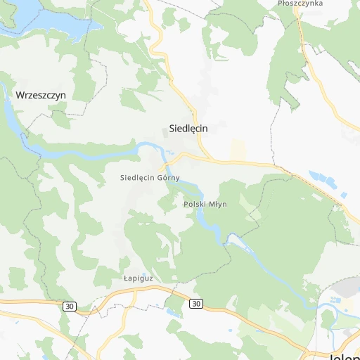
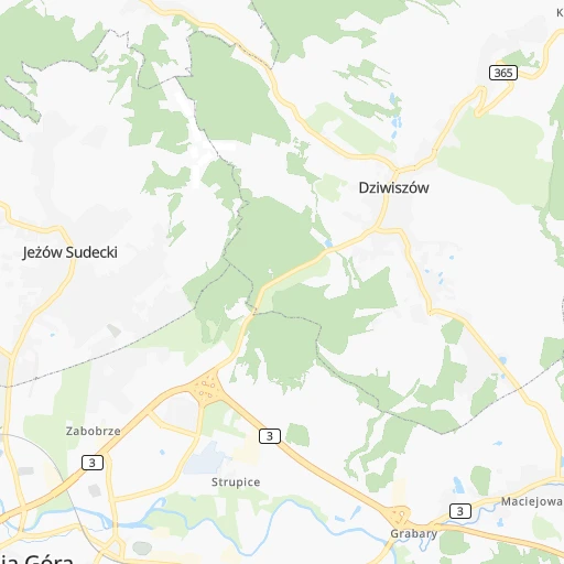
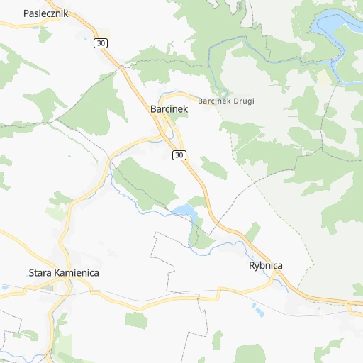
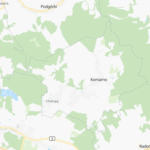
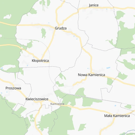
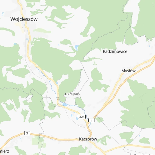
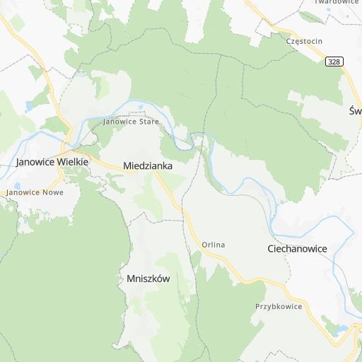
Roadmap (route) to go from Jelenia Góra to Jawor detailed above, you can also see the course layout on the map.
While doing trip Jelenia Góra - Jawor by car, the calculated route ends at a distance , or more straight.
Distance and duration of the route between Jelenia Góra and Jawor
Calculation of distance and route from Jawor to Jelenia Góra :
36.643.9 km1h48mn
Continue onto Groszowa 0h0mn 9 mTurn right onto Jana Kasprowicza 0h0mn 231 mTurn right onto Jana Kasprowicza 0h0mn 177 mTurn right onto Jana Sobieskiego 0h0mn 147 mTurn left onto Jana Sobieskiego 0h0mn 344 mKeep left onto Mostowa 0h0mn 363 mTurn right onto Aleja Jana Pawła II 0h3mn 2.2 kmKeep right and drive toward Szpital 0h0mn 299 mTurn sharp left onto Michała Kleofasa Ogińskiego 0h5mn 5.0 kmTurn left onto Karkonoska 0h2mn 787 mKeep right onto Świerkowa 0h0mn 178 mContinue onto Świerkowa 0h0mn 184 mTurn left onto 365 0h9mn 10.3 kmTurn right onto 328, 365 0h1mn 552 mTurn left onto 365 0h24mn 22.4 kmTurn right onto Bolesława Limanowskiego 0h0mn 352 mAt roundabout, take exit 2 onto Plac Wolności 0h0mn 52 mTurn slight right onto Grunwaldzka 0h0mn 98 mTurn left onto Księcia Józefa Poniatowskiego 0h0mn 75 mTurn right onto Szkolna 0h0mn 129 mTurn right onto Kościelna 0h0mn 25 mArrive at destination 0h0mn 0 m
Travel from Jelenia Góra (Lower Silesia) to a selection of major cities.
Distances from Jelenia Góra to biggest cities in Lower Silesia
Other major cities in country :
- Praga Poludnie [78], 187,845 inhabitants. 400 km
- Bielsko-Biala [83], 176,515 inhabitants. 264 km
- Olsztyn [85], 171,803 inhabitants. 456 km
- Rzeszow [80], 158,382 inhabitants. 454 km
- Ursynow [78], 147,676 inhabitants. 394 km
- Ruda Slaska [83], 146,189 inhabitants. 232 km
- Wola [78], 143,996 inhabitants. 393 km
- Rybnik [83], 142,510 inhabitants. 218 km
- Bielany [78], 134,854 inhabitants. 392 km
- Srodmiescie [78], 134,306 inhabitants. 395 km
- Dabrowa Gornicza [83], 130,601 inhabitants. 256 km
- Tychy [83], 130,000 inhabitants. 244 km
- Opole [79], 127,676 inhabitants. 157 km
- Elblag [85], 127,558 inhabitants. 439 km
- Plock [78], 127,474 inhabitants. 330 km
- Gorzow Wielkopolski [76], 124,430 inhabitants. 207 km
- Targowek [78], 124,316 inhabitants. 399 km
- Wloclawek [73], 120,339 inhabitants. 301 km
- Zielona Gora [76], 118,433 inhabitants. 116 km
- Tarnow [77], 117,799 inhabitants. 385 km
Route from Jawor to major cities (Poland).
- Distance Jawor Warsaw358 km
- Distance Jawor Lodz241 km
- Distance Jawor Krakow287 km
- Distance Jawor Poznan159 km
- Distance Jawor Gdansk403 km
- Distance Jawor Szczecin287 km
- Distance Jawor Bydgoszcz262 km
- Distance Jawor Lublin445 km
- Distance Jawor Katowice219 km
- Distance Jawor Bialystok530 km
- Distance Jawor Gdynia417 km
- Distance Jawor Czestochowa208 km
- Distance Jawor Sosnowiec222 km
- Distance Jawor Radom347 km
- Distance Jawor Mokotow358 km
- Distance Jawor Torun274 km
- Distance Jawor Kielce311 km
- Distance Jawor Gliwice194 km
- Distance Jawor Zabrze200 km
- Distance Jawor Bytom208 km
Nearest cities to Jelenia Góra :
- Wroclaw, 634,893 inhabitants. 94 km
- Poznan, 570,352 inhabitants. 187 km
- Szczecin, 407,811 inhabitants. 293 km
- Bydgoszcz, 366,452 inhabitants. 293 km
- Torun, 208,717 inhabitants. 307 km
- Gliwice, 198,835 inhabitants. 219 km
- Rybnik, 142,510 inhabitants. 218 km
- Opole, 127,676 inhabitants. 157 km
- Walbrzych, 127,431 inhabitants. 42 km
- Gorzow Wielkopolski, 124,430 inhabitants. 207 km
- Zielona Gora, 118,433 inhabitants. 116 km
- Kalisz, 108,759 inhabitants. 190 km
- Legnica, 106,033 inhabitants. 46 km
- Jastrzebie Zdroj, 95,813 inhabitants. 228 km
- Jelenia Gora, 87,310 inhabitants. 0 km
- Konin, 81,258 inhabitants. 228 km
- Inowroclaw, 77,597 inhabitants. 274 km
- Lubin, 77,532 inhabitants. 65 km
- Pila, 75,532 inhabitants. 260 km
- Ostrow Wielkopolski, 72,898 inhabitants. 167 km
- Stargard, 71,224 inhabitants. 275 km
- Gniezno, 70,269 inhabitants. 222 km
- Fordon, 70,000 inhabitants. 301 km
- Glogow, 68,530 inhabitants. 89 km
- Kedzierzyn-Kozle, 65,636 inhabitants. 187 km
- Leszno, 63,565 inhabitants. 120 km
- Zory, 63,174 inhabitants. 231 km
- Swidnica, 60,351 inhabitants. 54 km
- Raciborz, 58,464 inhabitants. 198 km
- Wodzislaw Slaski, 49,521 inhabitants. 218 km
- Nysa, 47,283 inhabitants. 123 km
- Boleslawiec, 40,682 inhabitants. 42 km
- Nowa Sol, 40,354 inhabitants. 101 km
- Knurow, 39,744 inhabitants. 220 km
- Chojnice, 39,407 inhabitants. 335 km
- Zary, 38,779 inhabitants. 92 km
- Szczecinek, 38,496 inhabitants. 319 km
- Brzeg, 38,259 inhabitants. 122 km
- Olesnica, 36,956 inhabitants. 121 km
- Cieszyn, 35,586 inhabitants. 243 km
- Police, 34,350 inhabitants. 306 km
- Dzierzoniow, 34,168 inhabitants. 68 km
- Zgorzelec, 33,247 inhabitants. 58 km
- Olawa, 30,898 inhabitants. 110 km
- Bielawa, 30,824 inhabitants. 67 km
- Srem, 30,404 inhabitants. 160 km
- Turek, 29,533 inhabitants. 229 km
- Krotoszyn, 29,231 inhabitants. 148 km
- Swarzedz, 29,010 inhabitants. 193 km
- Czerwionka-Leszczyny, 28,740 inhabitants. 225 km
Location Jelenia Góra (Lower Silesia) :
| Country flag |  |
| Location | Jelenia Góra |
| State | Lower Silesia |
| County | Jelenia Góra |
| Country | Poland |
| Country code / ISO 2 | PL |
| Latitude | 50.8997300 |
| Longitude | 15.7289900 |
| Altitude | 0 meters |
| Time zone | Europe/Warsaw |
Location Jawor (Lower Silesia) :
| Country flag | |
| Location | Jawor |
| State | Lower Silesia |
| County | Powiat jaworski |
| Country | Poland |
| Country code / ISO 2 | PL |
| Latitude | 51.0513200 |
| Longitude | 16.1934700 |
| Altitude | 0 meters |
| Time zone | Europe/Warsaw |