
How to get from Wągrowiec (Greater Poland) to Tomaszów Mazowiecki (Łódź Voivodeship)
Calculate route from Wągrowiec (Greater Poland, Poland) to Tomaszów Mazowiecki (Łódź Voivodeship, Poland).
The flight distance (as the crow flies) between Wągrowiec and Tomaszów Mazowiecki is 238.3 km.
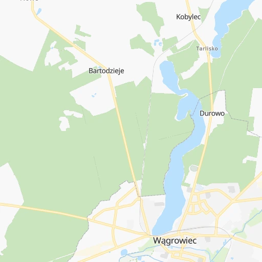
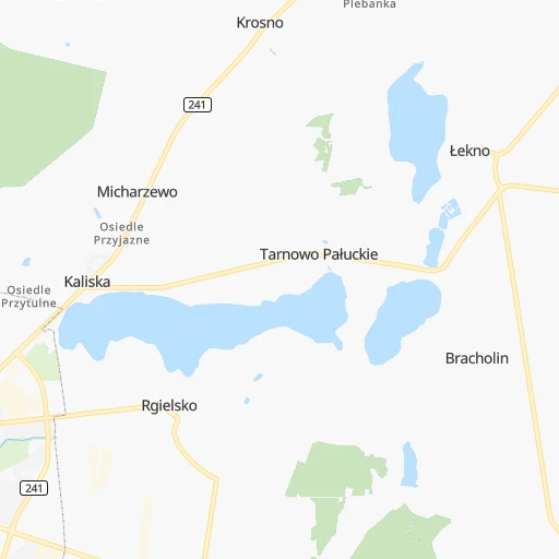
Roadmap (route) to go from Wągrowiec to Tomaszów Mazowiecki detailed above, you can also see the course layout on the map.
While doing trip Wągrowiec - Tomaszów Mazowiecki by car, the calculated route ends at a distance , or more straight.
Distance and duration of the route between Wągrowiec and Tomaszów Mazowiecki
Calculation of distance and route from Tomaszów Mazowiecki to Wągrowiec :
238.3272.6 km4h37mn
Continue onto Kolejowa 0h1mn 491 mTurn left onto Opacka 0h1mn 486 mTurn slight right onto Farna 0h2mn 1.9 kmAt roundabout, take exit 2 onto Gnieźnieńska 0h24mn 24.6 kmTurn right onto Gnieźnieńska 0h11mn 11.7 kmAt roundabout, take exit 2 onto 190 0h1mn 461 mAt roundabout, take exit 2 onto 190 0h5mn 4.0 kmAt roundabout, take exit 1 onto Jeziorna 0h1mn 587 mTurn left onto Dalkoska 0h0mn 103 mKeep right 0h0mn 48 mTurn slight right onto Tadeusza Kościuszki 0h0mn 63 mTurn right onto Warszawska 0h1mn 431 mAt roundabout, take exit 2 onto Witkowska 0h4mn 3.3 kmAt roundabout, take exit 2 onto Rondo Powstańców Wielkopolskich 0h11mn 12.0 kmTurn right onto Armii Poznań 0h1mn 809 mAt roundabout, take exit 2 onto Strzałkowska 0h13mn 13.2 kmTurn left onto 92 0h7mn 6.7 kmAt roundabout, take exit 2 onto Objazdowa 0h2mn 2.2 kmAt roundabout, take exit 2 onto Warszawska 0h6mn 7.2 kmTurn right 0h5mn 6.6 kmTurn sharp left onto 467 0h0mn 611 mKeep right and take A2 toward Warszawa 1h58mn 119.0 kmKeep right and take A1 toward Katowice, Gdańsk, Łódź, Toruń, Wrocław, Piotrków Trybunalski 0h0mn 611 mKeep right and take A1 toward Katowice, Łódź, Piotrków Tryb., Wrocław 0h3mn 5.6 kmKeep right and drive toward MOP Skoszewy Zachód 0h0mn 122 mTurn right 0h1mn 415 mTurn right 0h2mn 938 mTurn right 0h9mn 7.1 kmTurn left onto Tadeusza Kościuszki 0h1mn 1.2 kmTurn left onto Reformacka 0h0mn 196 mKeep right 0h8mn 6.4 kmAt roundabout, take exit 1 onto Brzezińska 0h1mn 346 mTurn left onto Juliusza Słowackiego 0h1mn 804 mTurn right onto Armii Krajowej 0h0mn 206 mTurn left onto Przejazd 0h1mn 486 mTurn left onto 715 0h1mn 471 mAt roundabout, take exit 1 onto Partyzantów 0h12mn 11.8 kmKeep right onto Brzezińska 0h0mn 139 mContinue onto Jana Chryzostoma Paska 0h8mn 7.5 kmAt roundabout, take exit 2 onto Kościelna 0h10mn 8.2 kmAt roundabout, take exit 2 onto Ujezdzka 0h1mn 1.1 kmKeep right onto Ujezdzka 0h0mn 32 mTurn slight right onto Warszawska 0h1mn 811 mAt roundabout, take exit 2 onto Warszawska 0h3mn 1.9 kmTurn sharp left onto Świętego Antoniego 0h0mn 88 mKeep left onto Plac Tadeusza Kościuszki 0h0mn 21 mArrive at destination 0h0mn 0 m
Travel from Wągrowiec (Łódź Voivodeship) to a selection of major cities.
Distances from Wągrowiec to biggest cities in Greater Poland
Other major cities in country :
- Praga Poludnie [78], 187,845 inhabitants. 271 km
- Bielsko-Biala [83], 176,515 inhabitants. 356 km
- Olsztyn [85], 171,803 inhabitants. 244 km
- Rzeszow [80], 158,382 inhabitants. 454 km
- Ursynow [78], 147,676 inhabitants. 271 km
- Ruda Slaska [83], 146,189 inhabitants. 306 km
- Wola [78], 143,996 inhabitants. 264 km
- Rybnik [83], 142,510 inhabitants. 316 km
- Bielany [78], 134,854 inhabitants. 259 km
- Srodmiescie [78], 134,306 inhabitants. 266 km
- Dabrowa Gornicza [83], 130,601 inhabitants. 311 km
- Tychy [83], 130,000 inhabitants. 322 km
- Opole [79], 127,676 inhabitants. 243 km
- Elblag [85], 127,558 inhabitants. 209 km
- Plock [78], 127,474 inhabitants. 172 km
- Walbrzych [72], 127,431 inhabitants. 235 km
- Gorzow Wielkopolski [76], 124,430 inhabitants. 133 km
- Targowek [78], 124,316 inhabitants. 267 km
- Wloclawek [73], 120,339 inhabitants. 127 km
- Zielona Gora [76], 118,433 inhabitants. 151 km
Route from Tomaszów Mazowiecki to major cities (Poland).
- Distance Tomaszów Mazowiecki Warsaw104 km
- Distance Tomaszów Mazowiecki Krakow164 km
- Distance Tomaszów Mazowiecki Wroclaw212 km
- Distance Tomaszów Mazowiecki Poznan233 km
- Distance Tomaszów Mazowiecki Gdansk327 km
- Distance Tomaszów Mazowiecki Szczecin426 km
- Distance Tomaszów Mazowiecki Bydgoszcz223 km
- Distance Tomaszów Mazowiecki Lublin180 km
- Distance Tomaszów Mazowiecki Katowice158 km
- Distance Tomaszów Mazowiecki Bialystok279 km
- Distance Tomaszów Mazowiecki Gdynia347 km
- Distance Tomaszów Mazowiecki Czestochowa102 km
- Distance Tomaszów Mazowiecki Sosnowiec152 km
- Distance Tomaszów Mazowiecki Radom80 km
- Distance Tomaszów Mazowiecki Mokotow102 km
- Distance Tomaszów Mazowiecki Torun191 km
- Distance Tomaszów Mazowiecki Kielce85 km
- Distance Tomaszów Mazowiecki Gliwice166 km
- Distance Tomaszów Mazowiecki Zabrze159 km
- Distance Tomaszów Mazowiecki Bytom152 km
Nearest cities to Wągrowiec :
- Lodz, 768,755 inhabitants. 193 km
- Krakow, 755,050 inhabitants. 360 km
- Wroclaw, 634,893 inhabitants. 191 km
- Poznan, 570,352 inhabitants. 48 km
- Gdansk, 461,865 inhabitants. 197 km
- Szczecin, 407,811 inhabitants. 190 km
- Bydgoszcz, 366,452 inhabitants. 65 km
- Katowice, 317,316 inhabitants. 311 km
- Gdynia, 253,730 inhabitants. 210 km
- Czestochowa, 248,125 inhabitants. 260 km
- Sosnowiec, 227,295 inhabitants. 310 km
- Torun, 208,717 inhabitants. 97 km
- Gliwice, 198,835 inhabitants. 298 km
- Zabrze, 192,177 inhabitants. 297 km
- Bytom, 189,186 inhabitants. 299 km
- Bielsko-Biala, 176,515 inhabitants. 356 km
- Ruda Slaska, 146,189 inhabitants. 306 km
- Rybnik, 142,510 inhabitants. 316 km
- Dabrowa Gornicza, 130,601 inhabitants. 311 km
- Tychy, 130,000 inhabitants. 322 km
- Opole, 127,676 inhabitants. 243 km
- Elblag, 127,558 inhabitants. 209 km
- Plock, 127,474 inhabitants. 172 km
- Walbrzych, 127,431 inhabitants. 235 km
- Gorzow Wielkopolski, 124,430 inhabitants. 133 km
- Wloclawek, 120,339 inhabitants. 127 km
- Zielona Gora, 118,433 inhabitants. 151 km
- Chorzow, 113,430 inhabitants. 304 km
- Kalisz, 108,759 inhabitants. 131 km
- Koszalin, 107,450 inhabitants. 169 km
- Legnica, 106,033 inhabitants. 192 km
- Grudziadz, 99,486 inhabitants. 128 km
- Slupsk, 98,608 inhabitants. 185 km
- Jaworzno, 96,541 inhabitants. 323 km
- Jastrzebie Zdroj, 95,813 inhabitants. 332 km
- Jelenia Gora, 87,310 inhabitants. 235 km
- Konin, 81,258 inhabitants. 97 km
- Piotrkow Trybunalski, 80,128 inhabitants. 232 km
- Inowroclaw, 77,597 inhabitants. 72 km
- Lubin, 77,532 inhabitants. 171 km
- Pila, 75,532 inhabitants. 49 km
- Myslowice, 75,281 inhabitants. 320 km
- Siemianowice Slaskie, 73,121 inhabitants. 304 km
- Ostrow Wielkopolski, 72,898 inhabitants. 135 km
- Stargard, 71,224 inhabitants. 155 km
- Pabianice, 70,542 inhabitants. 194 km
- Gniezno, 70,269 inhabitants. 40 km
- Fordon, 70,000 inhabitants. 75 km
- Glogow, 68,530 inhabitants. 148 km
- Tomaszow Mazowiecki, 67,197 inhabitants. 239 km
Location Wągrowiec (Greater Poland) :
| Country flag |  |
| Location | Wągrowiec |
| State | Greater Poland |
| County | Powiat wągrowiecki |
| Country | Poland |
| Country code / ISO 2 | PL |
| Latitude | 52.8084200 |
| Longitude | 17.1996100 |
| Altitude | 0 meters |
| Time zone | Europe/Warsaw |
Location Tomaszów Mazowiecki (Łódź Voivodeship) :
| Country flag | |
| Location | Tomaszów Mazowiecki |
| State | Łódź Voivodeship |
| County | Powiat tomaszowski |
| Country | Poland |
| Country code / ISO 2 | PL |
| Latitude | 51.5313100 |
| Longitude | 20.0085500 |
| Altitude | 0 meters |
| Time zone | Europe/Warsaw |

