


How to get from Palotabozsok Vasútállomás (Baranya) to Mohács (Baranya)
Calculate route from Palotabozsok Vasútállomás (Baranya, Hungary) to Mohács (Baranya, Hungary).
The flight distance (as the crow flies) between Palotabozsok Vasútállomás and Mohács is 15.8 km.
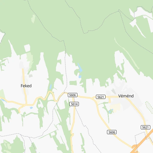
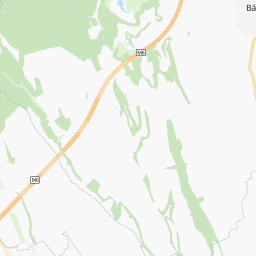
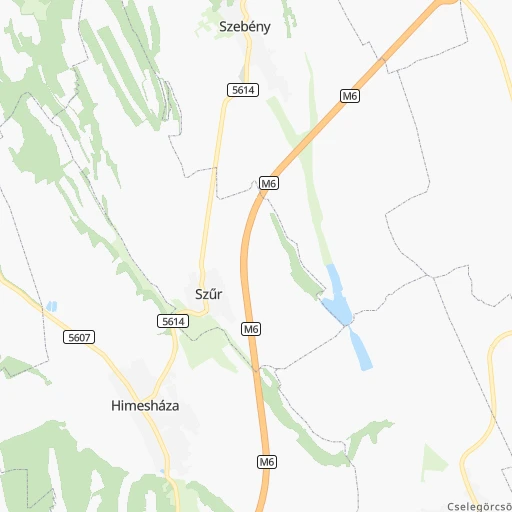
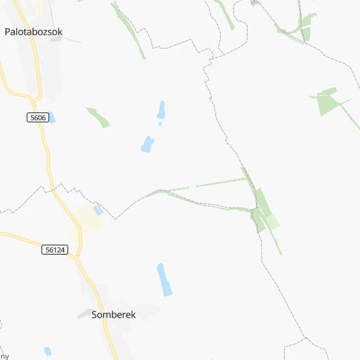
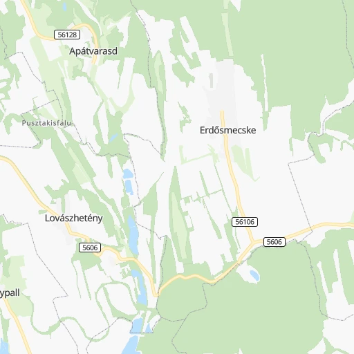
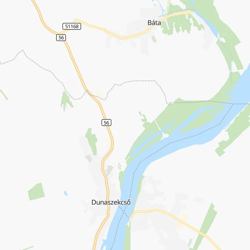
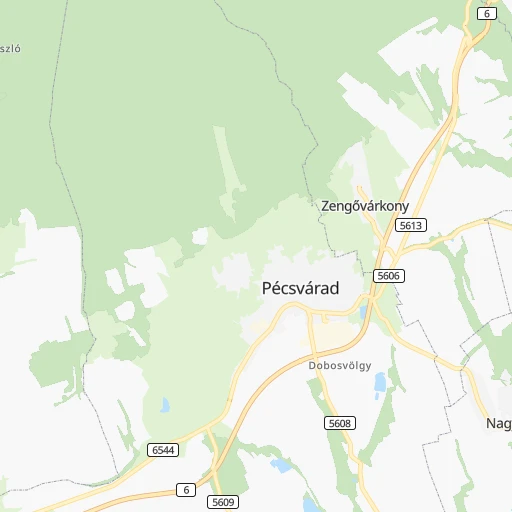
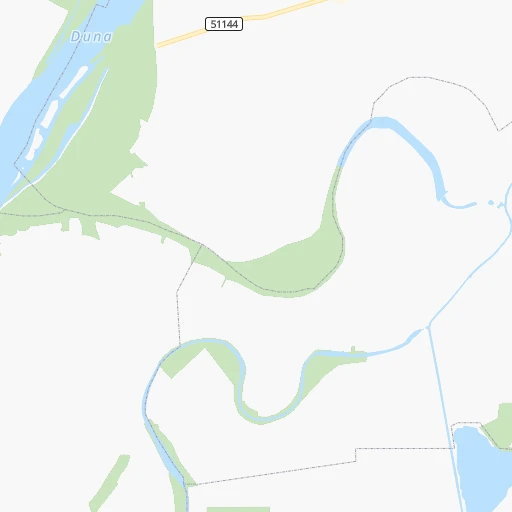
Roadmap (route) to go from Palotabozsok Vasútállomás to Mohács detailed above, you can also see the course layout on the map.
While doing trip Palotabozsok Vasútállomás - Mohács by car, the calculated route ends at a distance , or more straight.
Distance and duration of the route between Palotabozsok Vasútállomás and Mohács
Calculation of distance and route from Mohács to Palotabozsok Vasútállomás :
15.818.7 km0h23mn
Continue 0h2mn 515 mTurn right 0h1mn 180 mKeep right 0h1mn 265 mTurn right 0h1mn 357 mTurn right onto Petőfi Sándor utca 0h0mn 16 mTurn left 0h0mn 144 mTurn left onto Kossuth utca 0h1mn 1.2 kmTurn left onto 5606 0h10mn 10.5 kmKeep right onto 5606 0h0mn 56 mTurn slight right onto 56 0h1mn 1.1 kmTurn sharp left onto Budapesti út and drive toward Centrum 0h4mn 3.6 kmTurn left onto Szepessy tér 0h0mn 103 mTurn right onto Szepessy tér 0h1mn 264 mTurn left onto Gólya utca 0h1mn 271 mTurn right onto Tomori utca 0h0mn 115 mArrive at destination 0h0mn 0 m
Travel from Palotabozsok Vasútállomás (Baranya) to a selection of major cities.
Distances from Palotabozsok Vasútállomás to biggest cities in Baranya
Other major cities in country :
- Jozsefvaros [05], 76,957 inhabitants. 154 km
- Budapest XXI. keruelet [05], 76,339 inhabitants. 148 km
- Paradsasvar [11], 76,000 inhabitants. 222 km
- Szolnok [20], 75,474 inhabitants. 166 km
- Tatabanya [12], 70,541 inhabitants. 163 km
- Budapest XVI. keruelet [05], 68,484 inhabitants. 159 km
- Kaposvar [17], 67,746 inhabitants. 70 km
- Bekescsaba [03], 65,206 inhabitants. 198 km
- Budapest XX. keruelet [05], 63,371 inhabitants. 149 km
- Erd [16], 62,408 inhabitants. 142 km
- Veszprem [23], 62,023 inhabitants. 121 km
- Erzsebetvaros [05], 62,000 inhabitants. 156 km
- Zalaegerszeg [24], 61,898 inhabitants. 159 km
- Budapest XIX. keruelet [05], 61,610 inhabitants. 152 km
- Kispest [05], 61,453 inhabitants. 151 km
- Sopron [09], 57,210 inhabitants. 233 km
- Eger [11], 56,647 inhabitants. 236 km
- Budapest XII. keruelet [05], 56,544 inhabitants. 154 km
- Nagykanizsa [24], 50,823 inhabitants. 132 km
- Budapest XXII. keruelet [05], 50,499 inhabitants. 147 km
Route from Mohács to major cities (Hungary).
- Distance Mohács Budapest170 km
- Distance Mohács Debrecen283 km
- Distance Mohács Miskolc284 km
- Distance Mohács Szeged117 km
- Distance Mohács Budapest XI. keruelet167 km
- Distance Mohács Zuglo173 km
- Distance Mohács Gyor204 km
- Distance Mohács Budapest III. keruelet175 km
- Distance Mohács Nyiregyhaza317 km
- Distance Mohács Budapest XIII. keruelet174 km
- Distance Mohács Kecskemet128 km
- Distance Mohács Szekesfehervar135 km
- Distance Mohács Budapest IV. keruelet177 km
- Distance Mohács Budapest XVIII. keruelet166 km
- Distance Mohács Budapest II. keruelet172 km
- Distance Mohács Budapest VIII. keruelet169 km
- Distance Mohács Budapest XV. keruelet178 km
- Distance Mohács Szombathely209 km
- Distance Mohács Budapest X. keruelet169 km
- Distance Mohács Budapest XVII. keruelet171 km
Nearest cities to Palotabozsok Vasútállomás :
- Budapest, 1,741,041 inhabitants. 155 km
- Debrecen, 204,124 inhabitants. 275 km
- Miskolc, 172,637 inhabitants. 272 km
- Szeged, 164,883 inhabitants. 116 km
- Pecs, 156,649 inhabitants. 33 km
- Budapest XI. keruelet, 139,049 inhabitants. 152 km
- Zuglo, 130,000 inhabitants. 158 km
- Gyor, 128,265 inhabitants. 189 km
- Budapest III. keruelet, 123,723 inhabitants. 160 km
- Budapest XIII. keruelet, 113,531 inhabitants. 159 km
- Kecskemet, 109,847 inhabitants. 117 km
- Szekesfehervar, 101,600 inhabitants. 119 km
- Budapest IV. keruelet, 98,374 inhabitants. 162 km
- Budapest XVIII. keruelet, 93,225 inhabitants. 151 km
- Budapest II. keruelet, 88,729 inhabitants. 157 km
- Budapest VIII. keruelet, 82,222 inhabitants. 154 km
- Budapest XV. keruelet, 80,218 inhabitants. 163 km
- Szombathely, 79,534 inhabitants. 197 km
- Budapest X. keruelet, 79,270 inhabitants. 155 km
- Budapest XVII. keruelet, 78,250 inhabitants. 157 km
- Jozsefvaros, 76,957 inhabitants. 154 km
- Budapest XXI. keruelet, 76,339 inhabitants. 148 km
- Paradsasvar, 76,000 inhabitants. 222 km
- Szolnok, 75,474 inhabitants. 166 km
- Tatabanya, 70,541 inhabitants. 163 km
- Budapest XVI. keruelet, 68,484 inhabitants. 159 km
- Kaposvar, 67,746 inhabitants. 70 km
- Bekescsaba, 65,206 inhabitants. 198 km
- Budapest XX. keruelet, 63,371 inhabitants. 149 km
- Erd, 62,408 inhabitants. 142 km
- Veszprem, 62,023 inhabitants. 121 km
- Erzsebetvaros, 62,000 inhabitants. 156 km
- Zalaegerszeg, 61,898 inhabitants. 159 km
- Budapest XIX. keruelet, 61,610 inhabitants. 152 km
- Kispest, 61,453 inhabitants. 151 km
- Sopron, 57,210 inhabitants. 233 km
- Eger, 56,647 inhabitants. 236 km
- Budapest XII. keruelet, 56,544 inhabitants. 154 km
- Nagykanizsa, 50,823 inhabitants. 132 km
- Budapest XXII. keruelet, 50,499 inhabitants. 147 km
- Dunaujvaros, 50,084 inhabitants. 95 km
- Hodmezovasarhely, 47,485 inhabitants. 133 km
- Budapest VI. keruelet, 42,120 inhabitants. 156 km
- Salgotarjan, 39,640 inhabitants. 236 km
- Cegled, 39,287 inhabitants. 145 km
- Ozd, 38,476 inhabitants. 263 km
- Baja, 37,714 inhabitants. 24 km
- Vac, 35,108 inhabitants. 187 km
- Szekszard, 34,174 inhabitants. 25 km
- Papa, 32,990 inhabitants. 161 km
Location Palotabozsok Vasútállomás (Baranya) :
| Country flag |  |
| Location | Palotabozsok Vasútállomás |
| State | Baranya |
| County | |
| Country | Hungary |
| Country code / ISO 2 | HU |
| Latitude | 46.1333300 |
| Longitude | 18.6500000 |
| Altitude | 0 meters |
| Time zone | Europe/Budapest |
Location Mohács (Baranya) :
| Country flag | |
| Location | Mohács |
| State | Baranya |
| County | |
| Country | Hungary |
| Country code / ISO 2 | HU |
| Latitude | 45.9930600 |
| Longitude | 18.6830600 |
| Altitude | 0 meters |
| Time zone | Europe/Budapest |

