
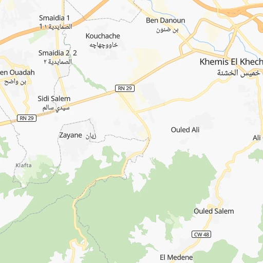
How to get from Khemis el Khechna (Boumerdes) to Chabet el Ameur (Boumerdes)
Calculate route from Khemis el Khechna (Boumerdes, Algeria) to Chabet el Ameur (Boumerdes, Algeria).
The flight distance (as the crow flies) between Khemis el Khechna and Chabet el Ameur is 32.5 km.
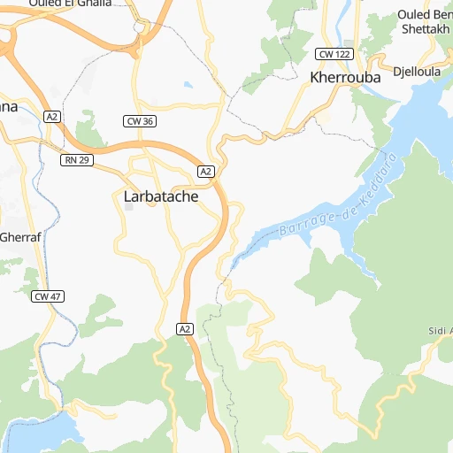
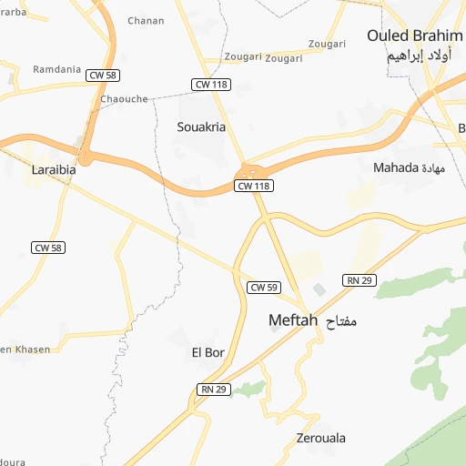
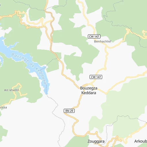
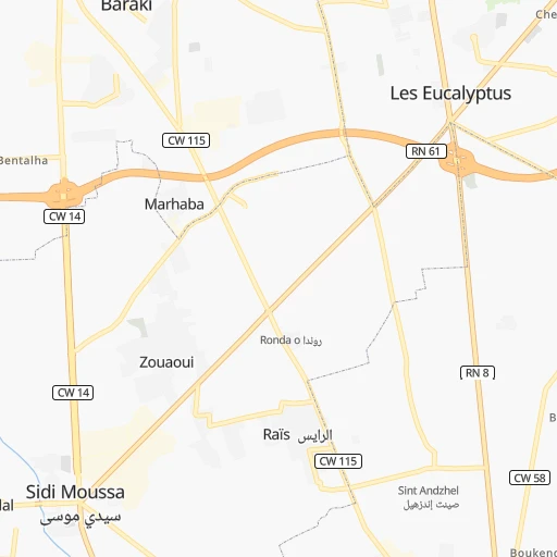
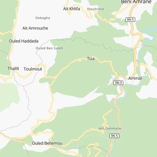
Roadmap (route) to go from Khemis el Khechna to Chabet el Ameur detailed above, you can also see the course layout on the map.
While doing trip Khemis el Khechna - Chabet el Ameur by car, the calculated route ends at a distance , or more straight.
Distance and duration of the route between Khemis el Khechna and Chabet el Ameur
Calculation of distance and route from Chabet el Ameur to Khemis el Khechna :
32.548.7 km1h44mn
Continue 0h0mn 38 mTurn right 0h0mn 131 mTurn left onto RN 29 0h0mn 412 mAt roundabout, take exit 1 onto RN 29A 0h0mn 462 mAt roundabout, take exit 2 onto RN 29A 0h0mn 480 mKeep right onto RN 29A 0h1mn 1.1 kmAt roundabout, take exit 4 0h2mn 2.1 kmAt roundabout, take exit 2 onto RN 29 0h0mn 580 mAt roundabout, take exit 2 0h1mn 1.5 kmTurn right 0h1mn 992 mAt roundabout, take exit 2 0h0mn 227 mTurn left 0h1mn 777 mAt roundabout, take exit 2 0h17mn 20.7 kmKeep right onto RN 5 and drive toward Beni Omrane, Constantine 0h3mn 3.8 kmKeep right 0h0mn 267 mTurn right onto CW 68 0h15mn 14.9 kmKeep left 0h0mn 265 mArrive at destination 0h0mn 0 m
Travel from Khemis el Khechna (Boumerdes) to a selection of major cities.
Distances from Khemis el Khechna to biggest cities in Boumerdes
Other major cities in country :
- Mascara [26], 150,000 inhabitants. 319 km
- Jijel [24], 148,000 inhabitants. 218 km
- Medea [06], 147,707 inhabitants. 67 km
- Tizi Ouzou [14], 144,000 inhabitants. 64 km
- Bechar [38], 143,382 inhabitants. 758 km
- El Oued [43], 134,699 inhabitants. 488 km
- Tlemcen [15], 132,341 inhabitants. 464 km
- Relizane [51], 130,094 inhabitants. 269 km
- Mostaganem [07], 130,000 inhabitants. 302 km
- Ouargla [50], 129,402 inhabitants. 554 km
- El Eulma [12], 128,351 inhabitants. 219 km
- Saida [10], 127,497 inhabitants. 351 km
- Guelma [23], 123,590 inhabitants. 367 km
- Bordj el Kiffan [01], 123,246 inhabitants. 17 km
- Ain Oussera [22], 118,687 inhabitants. 139 km
- Khenchela [47], 117,000 inhabitants. 369 km
- Laghouat [25], 113,872 inhabitants. 320 km
- Ain Beida [29], 105,765 inhabitants. 377 km
- Baraki [55], 105,402 inhabitants. 21 km
- Oum el Bouaghi [29], 100,821 inhabitants. 350 km
Route from Chabet el Ameur to major cities (Algeria).
- Distance Chabet el Ameur Algiers55 km
- Distance Chabet el Ameur Oran403 km
- Distance Chabet el Ameur Tebessa422 km
- Distance Chabet el Ameur Constantine263 km
- Distance Chabet el Ameur Biskra271 km
- Distance Chabet el Ameur Setif162 km
- Distance Chabet el Ameur Batna253 km
- Distance Chabet el Ameur Bab Ezzouar47 km
- Distance Chabet el Ameur Annaba364 km
- Distance Chabet el Ameur Sidi Bel Abbes422 km
- Distance Chabet el Ameur Blida80 km
- Distance Chabet el Ameur Tiaret256 km
- Distance Chabet el Ameur Chlef218 km
- Distance Chabet el Ameur Bordj Bou Arreridj114 km
- Distance Chabet el Ameur Ech Chettia224 km
- Distance Chabet el Ameur Bejaia125 km
- Distance Chabet el Ameur Skikda288 km
- Distance Chabet el Ameur El Achir105 km
- Distance Chabet el Ameur Souk Ahras383 km
- Distance Chabet el Ameur Djelfa222 km
Nearest cities to Khemis el Khechna :
- Algiers, 1,977,663 inhabitants. 24 km
- Boumerdas, 786,499 inhabitants. 18 km
- Biskra, 307,987 inhabitants. 295 km
- Setif, 288,461 inhabitants. 193 km
- Batna, 280,798 inhabitants. 283 km
- Bab Ezzouar, 275,630 inhabitants. 16 km
- Blida, 182,447 inhabitants. 49 km
- Tiaret, 178,915 inhabitants. 231 km
- Chlef, 178,616 inhabitants. 187 km
- Bordj Bou Arreridj, 168,346 inhabitants. 143 km
- Ech Chettia, 167,955 inhabitants. 193 km
- Bejaia, 164,103 inhabitants. 157 km
- El Achir, 158,333 inhabitants. 133 km
- Djelfa, 154,265 inhabitants. 220 km
- Jijel, 148,000 inhabitants. 218 km
- Medea, 147,707 inhabitants. 67 km
- Tizi Ouzou, 144,000 inhabitants. 64 km
- Relizane, 130,094 inhabitants. 269 km
- El Eulma, 128,351 inhabitants. 219 km
- Bordj el Kiffan, 123,246 inhabitants. 17 km
- Ain Oussera, 118,687 inhabitants. 139 km
- Laghouat, 113,872 inhabitants. 320 km
- Baraki, 105,402 inhabitants. 21 km
- M'Sila, 100,000 inhabitants. 151 km
- Messaad, 99,485 inhabitants. 278 km
- Barika, 98,846 inhabitants. 231 km
- Beni Mered, 92,749 inhabitants. 44 km
- Aflou, 84,683 inhabitants. 304 km
- Berrouaghia, 80,573 inhabitants. 69 km
- Ksar el Boukhari, 77,166 inhabitants. 100 km
- Khemis Miliana, 75,865 inhabitants. 108 km
- Ain Touta, 72,280 inhabitants. 271 km
- Birkhadem, 71,722 inhabitants. 26 km
- Chelghoum el Aid, 71,660 inhabitants. 260 km
- Sidi Aissa, 69,740 inhabitants. 94 km
- Larbaa, 69,298 inhabitants. 18 km
- Mila, 68,831 inhabitants. 263 km
- Sougueur, 68,654 inhabitants. 232 km
- Tolga, 68,246 inhabitants. 283 km
- Akbou, 66,654 inhabitants. 110 km
- El Bayadh, 64,632 inhabitants. 392 km
- Sidi Khaled, 64,476 inhabitants. 293 km
- Frenda, 63,319 inhabitants. 271 km
- Bougara, 63,155 inhabitants. 25 km
- Tissemsilt, 61,155 inhabitants. 179 km
- Meftah, 59,990 inhabitants. 10 km
- Oued Rhiou, 59,864 inhabitants. 230 km
- Boufarik, 59,742 inhabitants. 38 km
- Ksar Chellala, 58,478 inhabitants. 184 km
- Sidi Moussa, 57,928 inhabitants. 22 km
Location Khemis el Khechna (Boumerdes) :
| Country flag |  |
| Location | Khemis el Khechna |
| State | Boumerdes |
| County | |
| Country | Algeria |
| Country code / ISO 2 | DZ |
| Latitude | 36.6499700 |
| Longitude | 3.3308000 |
| Altitude | 0 meters |
| Time zone | Africa/Algiers |
Location Chabet el Ameur (Boumerdes) :
| Country flag | |
| Location | Chabet el Ameur |
| State | Boumerdes |
| County | |
| Country | Algeria |
| Country code / ISO 2 | DZ |
| Latitude | 36.6370900 |
| Longitude | 3.6947400 |
| Altitude | 0 meters |
| Time zone | Africa/Algiers |