


How to get from Ouled Zouai (Oum el Bouaghi) to Blida (Blida)
Calculate route from Ouled Zouai (Oum el Bouaghi, Algeria) to Blida (Blida, Algeria).
The flight distance (as the crow flies) between Ouled Zouai and Blida is 335.6 km.
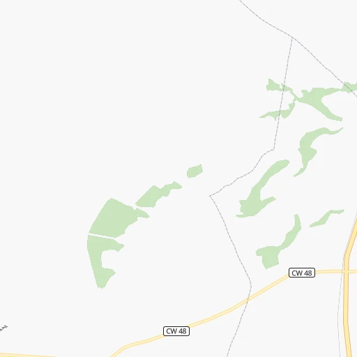
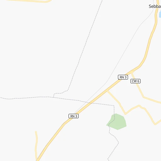
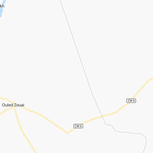
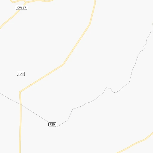
Roadmap (route) to go from Ouled Zouai to Blida detailed above, you can also see the course layout on the map.
While doing trip Ouled Zouai - Blida by car, the calculated route ends at a distance , or more straight.
Distance and duration of the route between Ouled Zouai and Blida
Calculation of distance and route from Blida to Ouled Zouai :
335.6418.9 km5h42mn
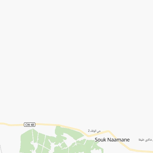
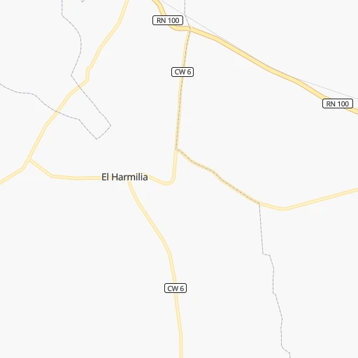
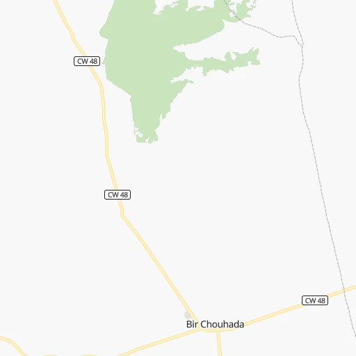
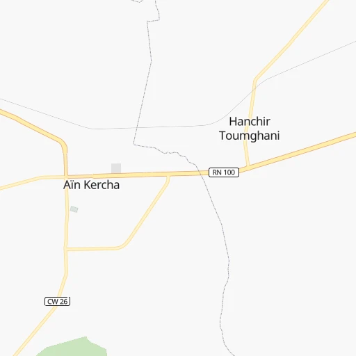
Continue 0h0mn 192 mTurn left onto Voie Rapide Batna - Constantine 0h1mn 2.0 kmAt roundabout, take exit 3 onto CW 48 0h20mn 20.2 kmKeep right onto CW 48 0h19mn 18.9 kmContinue onto RN 100 0h7mn 8.1 kmTurn right onto RN 100 0h4mn 5.2 kmTurn left 0h2mn 2.4 kmTurn slight left onto RN 5 0h5mn 5.5 kmAt roundabout, take exit 1 onto Branchelment A2-Chelghoum Laîd 0h1mn 617 mKeep left onto Branchelment A2-Chelghoum Laîd and take A1 toward Alger, Sétif 3h3mn 298.8 kmKeep left onto 2e Rocade Sud and drive toward Blida, Tlemcen 0h15mn 27.4 kmKeep left onto Branchement A1-2e Rocade Sud 0h14mn 21.1 kmKeep right and drive toward Blida / Beni Mered 0h6mn 5.6 kmContinue onto Trans-Sahara 0h1mn 345 mKeep right onto Boulevard Mohamed Boudiaf 0h1mn 445 mTurn left onto Avenue Benboulaid Mustapha 0h1mn 1.3 kmTurn left onto Rue Houari Mahfoud 0h0mn 70 mTurn right 0h0mn 141 mTurn left 0h0mn 66 mTurn right 0h0mn 231 mTurn left onto Rue Abdellah 0h0mn 45 mTurn right 0h0mn 81 mTurn left onto Rue Abdellah El Aichi 0h0mn 8 mTurn right 0h0mn 72 mTurn right 0h0mn 5 mTurn left 0h0mn 72 mTurn right onto Boulevard Mahdjoub Boualem 0h0mn 36 mTurn right 0h0mn 57 mArrive at destination 0h0mn 0 m
Travel from Ouled Zouai (Blida) to a selection of major cities.
Distances from Ouled Zouai to biggest cities in Oum el Bouaghi
Other major cities in country :
- Djelfa [22], 154,265 inhabitants. 324 km
- Mascara [26], 150,000 inhabitants. 578 km
- Jijel [24], 148,000 inhabitants. 123 km
- Medea [06], 147,707 inhabitants. 340 km
- Tizi Ouzou [14], 144,000 inhabitants. 238 km
- Bechar [38], 143,382 inhabitants. 936 km
- El Oued [43], 134,699 inhabitants. 284 km
- Tlemcen [15], 132,341 inhabitants. 718 km
- Relizane [51], 130,094 inhabitants. 537 km
- Mostaganem [07], 130,000 inhabitants. 578 km
- Ouargla [50], 129,402 inhabitants. 452 km
- El Eulma [12], 128,351 inhabitants. 79 km
- Saida [10], 127,497 inhabitants. 588 km
- Guelma [23], 123,590 inhabitants. 105 km
- Bordj el Kiffan [01], 123,246 inhabitants. 312 km
- Ain Oussera [22], 118,687 inhabitants. 329 km
- Khenchela [47], 117,000 inhabitants. 77 km
- Laghouat [25], 113,872 inhabitants. 405 km
- Baraki [55], 105,402 inhabitants. 317 km
- M'Sila [27], 100,000 inhabitants. 178 km
Route from Blida to major cities (Algeria).
- Distance Blida Algiers37 km
- Distance Blida Boumerdas67 km
- Distance Blida Oran323 km
- Distance Blida Tebessa492 km
- Distance Blida Constantine339 km
- Distance Blida Biskra318 km
- Distance Blida Setif234 km
- Distance Blida Batna318 km
- Distance Blida Bab Ezzouar43 km
- Distance Blida Annaba443 km
- Distance Blida Sidi Bel Abbes343 km
- Distance Blida Tiaret183 km
- Distance Blida Chlef138 km
- Distance Blida Bordj Bou Arreridj179 km
- Distance Blida Ech Chettia144 km
- Distance Blida Bejaia204 km
- Distance Blida Skikda367 km
- Distance Blida El Achir168 km
- Distance Blida Souk Ahras460 km
- Distance Blida Djelfa204 km
Nearest cities to Ouled Zouai :
- Tebessa, 634,332 inhabitants. 157 km
- Constantine, 450,097 inhabitants. 54 km
- Biskra, 307,987 inhabitants. 135 km
- Setif, 288,461 inhabitants. 103 km
- Batna, 280,798 inhabitants. 47 km
- Annaba, 206,570 inhabitants. 160 km
- Bordj Bou Arreridj, 168,346 inhabitants. 158 km
- Bejaia, 164,103 inhabitants. 159 km
- Skikda, 162,702 inhabitants. 116 km
- El Achir, 158,333 inhabitants. 170 km
- Souk Ahras, 156,745 inhabitants. 138 km
- Jijel, 148,000 inhabitants. 123 km
- Tizi Ouzou, 144,000 inhabitants. 238 km
- El Oued, 134,699 inhabitants. 284 km
- El Eulma, 128,351 inhabitants. 79 km
- Guelma, 123,590 inhabitants. 105 km
- Khenchela, 117,000 inhabitants. 77 km
- Ain Beida, 105,765 inhabitants. 81 km
- Oum el Bouaghi, 100,821 inhabitants. 55 km
- M'Sila, 100,000 inhabitants. 178 km
- Messaad, 99,485 inhabitants. 335 km
- Barika, 98,846 inhabitants. 117 km
- El Khroub, 83,746 inhabitants. 45 km
- Azzaba, 75,317 inhabitants. 109 km
- Ain Touta, 72,280 inhabitants. 79 km
- Cheria, 72,095 inhabitants. 132 km
- Chelghoum el Aid, 71,660 inhabitants. 43 km
- Sidi Aissa, 69,740 inhabitants. 246 km
- Mila, 68,831 inhabitants. 66 km
- Bir el Ater, 68,703 inhabitants. 191 km
- Ain Fakroun, 68,433 inhabitants. 35 km
- Tolga, 68,246 inhabitants. 165 km
- Akbou, 66,654 inhabitants. 188 km
- Besbes, 66,287 inhabitants. 151 km
- Sidi Khaled, 64,476 inhabitants. 217 km
- Hamma Bouziane, 63,012 inhabitants. 59 km
- Reguiba, 62,185 inhabitants. 260 km
- Ras el Oued, 56,726 inhabitants. 133 km
- Lakhdaria, 56,719 inhabitants. 272 km
- Drean, 55,147 inhabitants. 143 km
- Boghni, 54,666 inhabitants. 240 km
- Sedrata, 53,318 inhabitants. 97 km
- Djamaa, 52,882 inhabitants. 266 km
- Bouira, 52,500 inhabitants. 240 km
- Telerghma, 51,708 inhabitants. 28 km
- Sour el Ghozlane, 50,204 inhabitants. 255 km
- Touggourt, 49,044 inhabitants. 313 km
- Merouana, 47,646 inhabitants. 60 km
- Kerkera, 46,747 inhabitants. 116 km
- El Hadjar, 46,656 inhabitants. 151 km
Location Ouled Zouai (Oum el Bouaghi) :
| Country flag |  |
| Location | Ouled Zouai |
| State | Oum el Bouaghi |
| County | |
| Country | Algeria |
| Country code / ISO 2 | DZ |
| Latitude | 35.8893500 |
| Longitude | 6.4999100 |
| Altitude | 0 meters |
| Time zone | Africa/Algiers |
Location Blida (Blida) :
| Country flag | |
| Location | Blida |
| State | Blida |
| County | |
| Country | Algeria |
| Country code / ISO 2 | DZ |
| Latitude | 36.4700400 |
| Longitude | 2.8277000 |
| Altitude | 0 meters |
| Time zone | Africa/Algiers |
