
How to get from Stantsiya Nikolayevka (Jewish Autonomous Oblast) to Khurba (Khabarovsk)
Calculate route from Stantsiya Nikolayevka (Jewish Autonomous Oblast, Russia) to Khurba (Khabarovsk, Russia).
The flight distance (as the crow flies) between Stantsiya Nikolayevka and Khurba is 258.2 km.
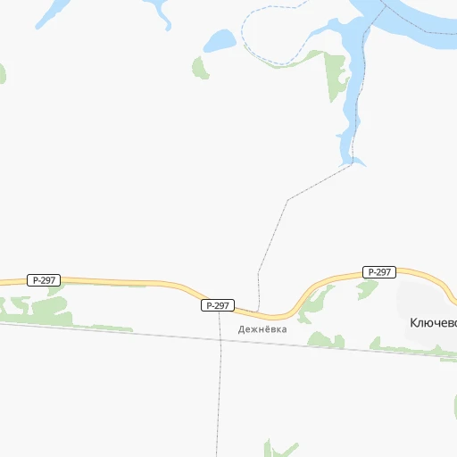
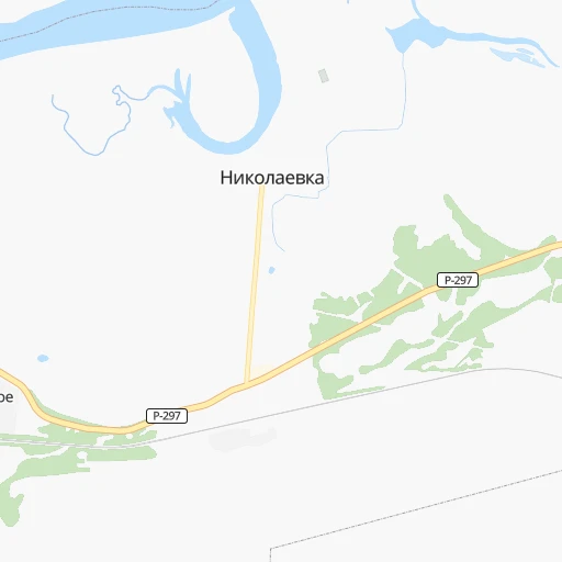
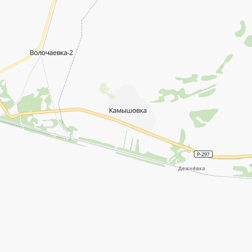
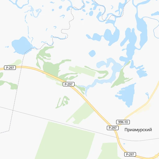
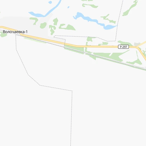
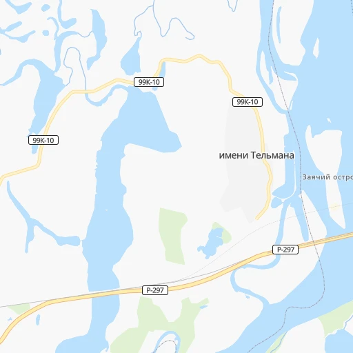
Roadmap (route) to go from Stantsiya Nikolayevka to Khurba detailed above, you can also see the course layout on the map.
While doing trip Stantsiya Nikolayevka - Khurba by car, the calculated route ends at a distance , or more straight.
Distance and duration of the route between Stantsiya Nikolayevka and Khurba
Calculation of distance and route from Khurba to Stantsiya Nikolayevka :
258.2377.0 km6h9mn
Continue onto Станционная улица 0h4mn 2.1 kmTurn right onto Шоссейная улица 0h23mn 25.9 kmKeep left onto Трёхгорная улица 0h6mn 6.7 kmKeep right and drive toward съезд с автомобильной дороги "Обход г. Хабаровска км13-км42" на Чернореченское шоссе 0h0mn 263 mTurn sharp left onto Чернореченское шоссе 3h0mn 208.3 kmKeep left onto А-376 0h0mn 148 mKeep left onto А-376 1h6mn 75.6 kmTurn left onto 08К-3 0h18mn 14.6 kmKeep left onto улица Шерого 0h1mn 256 mKeep right onto автозимник Амурск-Вознесенское 1h39mn 12.9 kmTurn right 0h7mn 3.4 kmTurn right 0h2mn 1.2 kmTurn sharp left onto Западное шоссе 0h9mn 11.4 kmTurn right onto Комсомольск-на-Амуре — Амурск 0h14mn 14.2 kmArrive at destination 0h0mn 0 m
Travel from Stantsiya Nikolayevka (Khabarovsk) to a selection of major cities.
Distances from Stantsiya Nikolayevka to biggest cities in Jewish Autonomous Oblast
Other major cities in country :
- Yaroslavl [88], 606,730 inhabitants. 5,894 km
- Barnaul [04], 599,579 inhabitants. 3,540 km
- Vladivostok [59], 587,022 inhabitants. 644 km
- Irkutsk [20], 586,695 inhabitants. 2,185 km
- Khabarovsk [30], 579,000 inhabitants. 23 km
- Khabarovsk Vtoroy [30], 578,303 inhabitants. 28 km
- Orenburg [55], 550,204 inhabitants. 5,404 km
- Novokuznetsk [29], 539,616 inhabitants. 3,314 km
- Ryazan' [62], 520,173 inhabitants. 6,096 km
- Tyumen [78], 519,119 inhabitants. 4,544 km
- Lipetsk [43], 515,655 inhabitants. 6,237 km
- Penza [57], 512,602 inhabitants. 5,902 km
- Naberezhnyye Chelny [73], 509,870 inhabitants. 5,347 km
- Kalininskiy [42], 504,641 inhabitants. 6,176 km
- Astrakhan [07], 502,533 inhabitants. 6,164 km
- Makhachkala [17], 497,959 inhabitants. 6,427 km
- Tomsk [75], 485,519 inhabitants. 3,406 km
- Kemerovo [29], 477,090 inhabitants. 3,353 km
- Tula [76], 468,825 inhabitants. 6,232 km
- Kirov [33], 457,383 inhabitants. 5,345 km
Route from Khurba to major cities (Russia).
- Distance Khurba Moscow6,079 km
- Distance Khurba Saint Petersburg6,105 km
- Distance Khurba Novosibirsk3,581 km
- Distance Khurba Yekaterinburg4,819 km
- Distance Khurba Nizhniy Novgorod5,725 km
- Distance Khurba Samara5,599 km
- Distance Khurba Omsk4,165 km
- Distance Khurba Kazan5,495 km
- Distance Khurba Rostov-na-Donu6,592 km
- Distance Khurba Chelyabinsk4,856 km
- Distance Khurba Ufa5,185 km
- Distance Khurba Volgograd6,215 km
- Distance Khurba Perm4,997 km
- Distance Khurba Krasnoyarsk2,947 km
- Distance Khurba Saratov5,935 km
- Distance Khurba Voronezh6,292 km
- Distance Khurba Tol'yatti5,623 km
- Distance Khurba Krasnodar6,801 km
- Distance Khurba Ulyanovsk5,624 km
- Distance Khurba Izhevsk5,219 km
Nearest cities to Stantsiya Nikolayevka :
- Khabarovsk, 579,000 inhabitants. 23 km
- Khabarovsk Vtoroy, 578,303 inhabitants. 28 km
- Komsomolsk-on-Amur, 275,908 inhabitants. 277 km
- Birobidzhan, 76,146 inhabitants. 139 km
- Amursk, 46,993 inhabitants. 244 km
- Dalnerechensk, 28,300 inhabitants. 300 km
- Luchegorsk, 21,833 inhabitants. 233 km
- Bikin, 19,659 inhabitants. 195 km
- Vyazemskiy, 15,247 inhabitants. 110 km
- Chegdomyn, 14,855 inhabitants. 316 km
- Solnechnyy, 14,227 inhabitants. 279 km
- Solnechnyy, 13,993 inhabitants. 281 km
- Khor, 11,503 inhabitants. 73 km
- Nekrasovka, 9,159 inhabitants. 39 km
- Knyaze-Volkonskoye, 8,936 inhabitants. 51 km
- Novyy Urgal, 7,061 inhabitants. 323 km
- Leninskoye, 6,827 inhabitants. 173 km
- Smidovich, 5,720 inhabitants. 71 km
- Korfovskiy, 5,652 inhabitants. 40 km
- Khurba, 5,537 inhabitants. 259 km
- Selikhino, 4,722 inhabitants. 284 km
- Mukhen, 4,617 inhabitants. 107 km
- Lermontovka, 4,479 inhabitants. 157 km
- Bira, 4,176 inhabitants. 177 km
- Topolevo, 4,117 inhabitants. 30 km
- Novopokrovka, 3,946 inhabitants. 299 km
- Gorin, 3,695 inhabitants. 326 km
- Babstovo, 3,685 inhabitants. 176 km
- Priamurskiy, 3,560 inhabitants. 10 km
- Vostok, 3,452 inhabitants. 245 km
- Lazo, 3,240 inhabitants. 308 km
Location Stantsiya Nikolayevka (Jewish Autonomous Oblast) :
| Country flag |  |
| Location | Stantsiya Nikolayevka |
| State | Jewish Autonomous Oblast |
| County | |
| Country | Russia |
| Country code / ISO 2 | RU |
| Latitude | 48.5300100 |
| Longitude | 134.7738400 |
| Altitude | 0 meters |
| Time zone | Asia/Vladivostok |
Location Khurba (Khabarovsk) :
| Country flag | |
| Location | Khurba |
| State | Khabarovsk |
| County | |
| Country | Russia |
| Country code / ISO 2 | RU |
| Latitude | 50.4065700 |
| Longitude | 136.8827600 |
| Altitude | 0 meters |
| Time zone | Asia/Vladivostok |