


How to get from Stantsiya Sherlovaya (Transbaikal Territory) to Makkaveyevo (Transbaikal Territory)
Calculate route from Stantsiya Sherlovaya (Transbaikal Territory, Russia) to Makkaveyevo (Transbaikal Territory, Russia).
The flight distance (as the crow flies) between Stantsiya Sherlovaya and Makkaveyevo is 218.6 km.
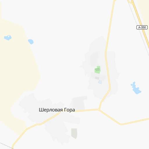
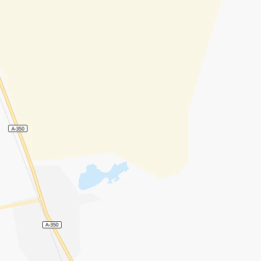
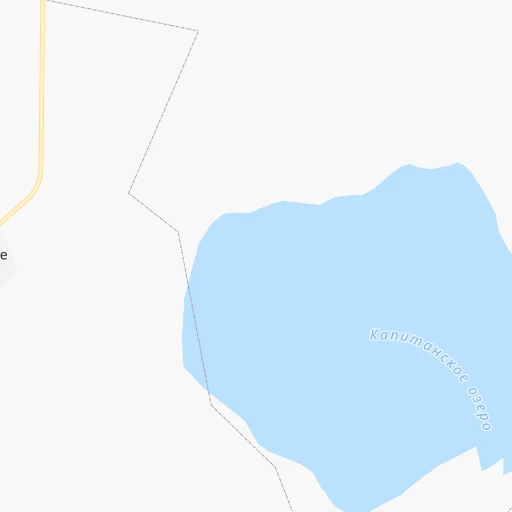
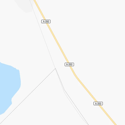
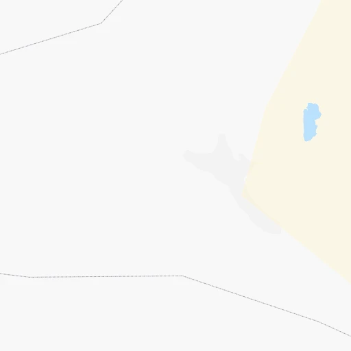
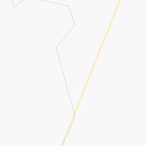
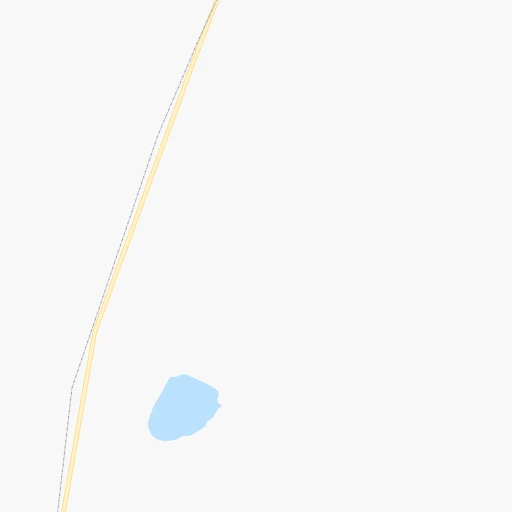
Roadmap (route) to go from Stantsiya Sherlovaya to Makkaveyevo detailed above, you can also see the course layout on the map.
While doing trip Stantsiya Sherlovaya - Makkaveyevo by car, the calculated route ends at a distance , or more straight.
Distance and duration of the route between Stantsiya Sherlovaya and Makkaveyevo
Calculation of distance and route from Makkaveyevo to Stantsiya Sherlovaya :
218.6295.8 km4h19mn
Continue 0h0mn 63 mTurn left 0h0mn 55 mTurn right onto Линейная улица 0h1mn 403 mTurn right 0h2mn 801 mTurn slight right onto Подъезд к пгт Шерловая Гора 0h0mn 204 mTurn left onto Чита — Забайкальск 4h54mn 272.7 kmTurn left onto Подъезд к пгт. Дарасун 0h15mn 14.6 kmAt roundabout, take exit 1 onto Чита — Забайкальск 0h5mn 5.8 kmTurn left 0h1mn 573 mTurn right 0h1mn 472 mArrive at destination 0h0mn 0 m
Travel from Stantsiya Sherlovaya (Transbaikal Territory) to a selection of major cities.
Distances from Stantsiya Sherlovaya to biggest cities in Transbaikal Territory
Other major cities in country :
- Yaroslavl [88], 606,730 inhabitants. 4,787 km
- Barnaul [04], 599,579 inhabitants. 2,241 km
- Vladivostok [59], 587,022 inhabitants. 1,435 km
- Irkutsk [20], 586,695 inhabitants. 861 km
- Khabarovsk [30], 579,000 inhabitants. 1,367 km
- Khabarovsk Vtoroy [30], 578,303 inhabitants. 1,372 km
- Orenburg [55], 550,204 inhabitants. 4,154 km
- Novokuznetsk [29], 539,616 inhabitants. 2,017 km
- Ryazan' [62], 520,173 inhabitants. 4,946 km
- Tyumen [78], 519,119 inhabitants. 3,338 km
- Lipetsk [43], 515,655 inhabitants. 5,062 km
- Penza [57], 512,602 inhabitants. 4,709 km
- Naberezhnyye Chelny [73], 509,870 inhabitants. 4,158 km
- Kalininskiy [42], 504,641 inhabitants. 5,157 km
- Astrakhan [07], 502,533 inhabitants. 4,888 km
- Makhachkala [17], 497,959 inhabitants. 5,129 km
- Tomsk [75], 485,519 inhabitants. 2,161 km
- Kemerovo [29], 477,090 inhabitants. 2,085 km
- Tula [76], 468,825 inhabitants. 5,087 km
- Kirov [33], 457,383 inhabitants. 4,213 km
Route from Makkaveyevo to major cities (Russia).
- Distance Makkaveyevo Moscow4,785 km
- Distance Makkaveyevo Saint Petersburg4,946 km
- Distance Makkaveyevo Novosibirsk2,073 km
- Distance Makkaveyevo Yekaterinburg3,420 km
- Distance Makkaveyevo Nizhniy Novgorod4,400 km
- Distance Makkaveyevo Samara4,182 km
- Distance Makkaveyevo Omsk2,680 km
- Distance Makkaveyevo Kazan4,131 km
- Distance Makkaveyevo Rostov-na-Donu5,155 km
- Distance Makkaveyevo Chelyabinsk3,418 km
- Distance Makkaveyevo Ufa3,765 km
- Distance Makkaveyevo Volgograd4,766 km
- Distance Makkaveyevo Perm3,642 km
- Distance Makkaveyevo Krasnoyarsk1,455 km
- Distance Makkaveyevo Saratov4,516 km
- Distance Makkaveyevo Voronezh4,920 km
- Distance Makkaveyevo Tol'yatti4,216 km
- Distance Makkaveyevo Krasnodar5,343 km
- Distance Makkaveyevo Ulyanovsk4,237 km
- Distance Makkaveyevo Izhevsk3,853 km
Nearest cities to Stantsiya Sherlovaya :
- Chita, 308,500 inhabitants. 262 km
- Krasnokamensk, 54,316 inhabitants. 126 km
- Borzya, 30,421 inhabitants. 18 km
- Aginskoye, 17,496 inhabitants. 146 km
- Nerchinsk, 15,360 inhabitants. 164 km
- Shilka, 14,132 inhabitants. 150 km
- Baley, 13,404 inhabitants. 120 km
- Pervomayskiy, 13,141 inhabitants. 139 km
- Chernyshevsk, 12,466 inhabitants. 227 km
- Karymskoye, 11,901 inhabitants. 188 km
- Zabaykal'sk, 10,563 inhabitants. 117 km
- Novokruchininskiy, 9,391 inhabitants. 230 km
- Atamanovka, 9,053 inhabitants. 248 km
- Mogoytuy, 8,420 inhabitants. 134 km
- Olovyannaya, 8,247 inhabitants. 75 km
- Priargunsk, 7,902 inhabitants. 193 km
- Kokuy, 7,767 inhabitants. 205 km
- Darasun, 7,755 inhabitants. 211 km
- Sretensk, 7,698 inhabitants. 213 km
- Vershino-Darasunskiy, 6,451 inhabitants. 214 km
- Dul'durga, 6,382 inhabitants. 198 km
- Dauriya, 4,058 inhabitants. 73 km
- Makkaveyevo, 3,922 inhabitants. 219 km
- Zhireken, 3,766 inhabitants. 265 km
- Kalga, 3,573 inhabitants. 183 km
- Shelopugino, 3,416 inhabitants. 151 km
- Bukachacha, 3,372 inhabitants. 277 km
- Nizhniy Tsasuchey, 3,278 inhabitants. 89 km
- Kurort-Darasun, 3,275 inhabitants. 202 km
Location Stantsiya Sherlovaya (Transbaikal Territory) :
| Country flag |  |
| Location | Stantsiya Sherlovaya |
| State | Transbaikal Territory |
| County | |
| Country | Russia |
| Country code / ISO 2 | RU |
| Latitude | 50.5170900 |
| Longitude | 116.3846000 |
| Altitude | 0 meters |
| Time zone | Asia/Chita |
Location Makkaveyevo (Transbaikal Territory) :
| Country flag | |
| Location | Makkaveyevo |
| State | Transbaikal Territory |
| County | |
| Country | Russia |
| Country code / ISO 2 | RU |
| Latitude | 51.7532500 |
| Longitude | 113.9454000 |
| Altitude | 0 meters |
| Time zone | Asia/Chita |