


How to get from Stantsiya Yagdyn’ya (Amur Oblast) to Urusha (Amur Oblast)
Calculate route from Stantsiya Yagdyn’ya (Amur Oblast, Russia) to Urusha (Amur Oblast, Russia).
The flight distance (as the crow flies) between Stantsiya Yagdyn’ya and Urusha is 58.3 km.
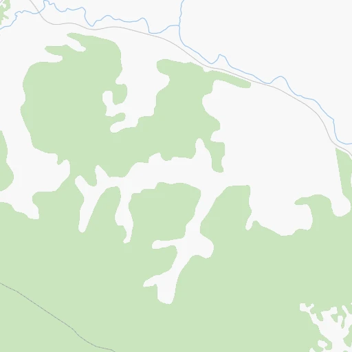
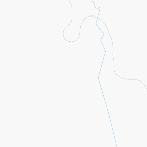
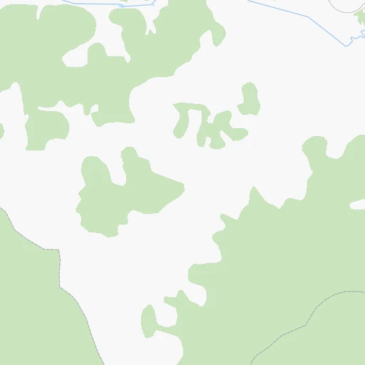
Roadmap (route) to go from Stantsiya Yagdyn’ya to Urusha detailed above, you can also see the course layout on the map.
While doing trip Stantsiya Yagdyn’ya - Urusha by car, the calculated route ends at a distance , or more straight.
Distance and duration of the route between Stantsiya Yagdyn’ya and Urusha
Calculation of distance and route from Urusha to Stantsiya Yagdyn’ya :
58.372.0 km1h8mn
Continue 0h5mn 1.2 kmTurn sharp right onto Подъезд к пгт Ерофей Павлович 0h4mn 2.0 kmTurn right onto «Амур» 1h44mn 60.2 kmTurn left 0h7mn 3.6 kmTurn right 0h2mn 498 mTurn sharp left 0h0mn 38 mTurn right 0h1mn 465 mContinue 0h4mn 3.5 kmKeep left onto Ключевая улица 0h0mn 131 mTurn right onto Партизанская улица 0h1mn 326 mArrive at destination 0h0mn 0 m
Travel from Stantsiya Yagdyn’ya (Amur Oblast) to a selection of major cities.
Distances from Stantsiya Yagdyn’ya to biggest cities in Amur Oblast
Other major cities in country :
- Yaroslavl [88], 606,730 inhabitants. 4,834 km
- Barnaul [04], 599,579 inhabitants. 2,492 km
- Vladivostok [59], 587,022 inhabitants. 1,410 km
- Irkutsk [20], 586,695 inhabitants. 1,194 km
- Khabarovsk [30], 579,000 inhabitants. 1,096 km
- Khabarovsk Vtoroy [30], 578,303 inhabitants. 1,102 km
- Orenburg [55], 550,204 inhabitants. 4,331 km
- Novokuznetsk [29], 539,616 inhabitants. 2,267 km
- Ryazan' [62], 520,173 inhabitants. 5,028 km
- Tyumen [78], 519,119 inhabitants. 3,469 km
- Lipetsk [43], 515,655 inhabitants. 5,165 km
- Penza [57], 512,602 inhabitants. 4,828 km
- Naberezhnyye Chelny [73], 509,870 inhabitants. 4,273 km
- Kalininskiy [42], 504,641 inhabitants. 5,142 km
- Astrakhan [07], 502,533 inhabitants. 5,096 km
- Makhachkala [17], 497,959 inhabitants. 5,367 km
- Tomsk [75], 485,519 inhabitants. 2,337 km
- Kemerovo [29], 477,090 inhabitants. 2,292 km
- Tula [76], 468,825 inhabitants. 5,165 km
- Kirov [33], 457,383 inhabitants. 4,279 km
Route from Urusha to major cities (Russia).
- Distance Urusha Moscow5,105 km
- Distance Urusha Saint Petersburg5,184 km
- Distance Urusha Novosibirsk2,547 km
- Distance Urusha Yekaterinburg3,806 km
- Distance Urusha Nizhniy Novgorod4,738 km
- Distance Urusha Samara4,585 km
- Distance Urusha Omsk3,133 km
- Distance Urusha Kazan4,495 km
- Distance Urusha Rostov-na-Donu5,575 km
- Distance Urusha Chelyabinsk3,834 km
- Distance Urusha Ufa4,169 km
- Distance Urusha Volgograd5,194 km
- Distance Urusha Perm3,997 km
- Distance Urusha Krasnoyarsk1,912 km
- Distance Urusha Saratov4,921 km
- Distance Urusha Voronezh5,293 km
- Distance Urusha Tol'yatti4,611 km
- Distance Urusha Krasnodar5,779 km
- Distance Urusha Ulyanovsk4,618 km
- Distance Urusha Izhevsk4,217 km
Nearest cities to Stantsiya Yagdyn’ya :
- Neryungri, 66,320 inhabitants. 342 km
- Tynda, 37,335 inhabitants. 219 km
- Mogocha, 12,647 inhabitants. 149 km
- Chul'man, 10,220 inhabitants. 368 km
- Skovorodino, 10,007 inhabitants. 127 km
- Yerofey Pavlovich, 5,409 inhabitants. 4 km
- Berkakit, 4,764 inhabitants. 338 km
- Serebryanyy Bor, 4,302 inhabitants. 349 km
- Urusha, 4,252 inhabitants. 58 km
- Taldan, 3,436 inhabitants. 188 km
- Solovjevsk, 3,066 inhabitants. 161 km
- Nerchinskiy Zavod, 3,012 inhabitants. 338 km
Location Stantsiya Yagdyn’ya (Amur Oblast) :
| Country flag |  |
| Location | Stantsiya Yagdyn’ya |
| State | Amur Oblast |
| County | |
| Country | Russia |
| Country code / ISO 2 | RU |
| Latitude | 53.9833300 |
| Longitude | 122.0000000 |
| Altitude | 0 meters |
| Time zone | Asia/Yakutsk |
Location Urusha (Amur Oblast) :
| Country flag | |
| Location | Urusha |
| State | Amur Oblast |
| County | |
| Country | Russia |
| Country code / ISO 2 | RU |
| Latitude | 54.0530300 |
| Longitude | 122.8856100 |
| Altitude | 0 meters |
| Time zone | Asia/Yakutsk |