


How to get from Kisŏng-yŏk (South Pyongan) to Chaeryŏng-ŭp (Hwanghae-namdo)
Calculate route from Kisŏng-yŏk (South Pyongan, North Korea) to Chaeryŏng-ŭp (Hwanghae-namdo, North Korea).
The flight distance (as the crow flies) between Kisŏng-yŏk and Chaeryŏng-ŭp is 63.4 km.
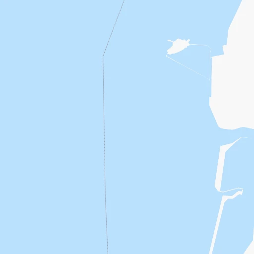
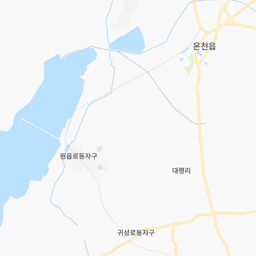
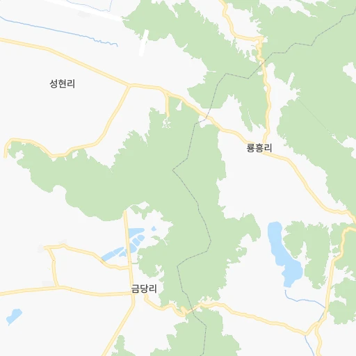
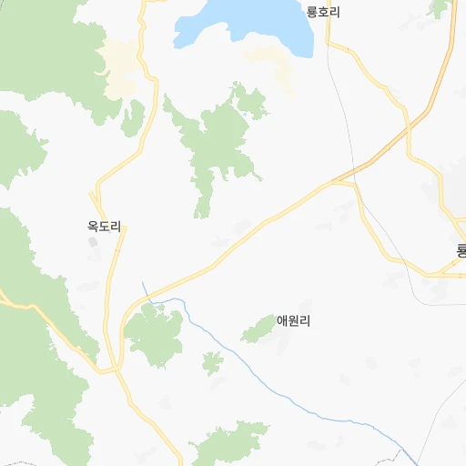
Roadmap (route) to go from Kisŏng-yŏk to Chaeryŏng-ŭp detailed above, you can also see the course layout on the map.
While doing trip Kisŏng-yŏk - Chaeryŏng-ŭp by car, the calculated route ends at a distance , or more straight.
Distance and duration of the route between Kisŏng-yŏk and Chaeryŏng-ŭp
Calculation of distance and route from Chaeryŏng-ŭp to Kisŏng-yŏk :
63.492.9 km2h34mn
Continue 0h1mn 262 mTurn left 0h1mn 427 mTurn sharp left 0h2mn 1.0 kmKeep right 0h6mn 3.1 kmTurn right 0h10mn 9.8 kmTurn right 0h8mn 7.8 kmTurn right 0h1mn 663 mTurn right 0h14mn 15.1 kmTurn left 0h9mn 7.7 kmTurn left 0h4mn 3.9 kmTurn right 0h22mn 24.0 kmTurn left 0h2mn 2.3 kmTurn left 0h15mn 16.9 kmArrive at destination 0h0mn 0 m
Travel from Kisŏng-yŏk (Hwanghae-namdo) to a selection of major cities.
Distances from Kisŏng-yŏk to biggest cities in South Pyongan
Other major cities in country :
Route from Chaeryŏng-ŭp to major cities (North Korea).
- Distance Chaeryŏng-ŭp Pyongyang72 km
- Distance Chaeryŏng-ŭp Hamhung237 km
- Distance Chaeryŏng-ŭp Namp'o42 km
- Distance Chaeryŏng-ŭp Sunch'on118 km
- Distance Chaeryŏng-ŭp Hungnam235 km
- Distance Chaeryŏng-ŭp Wonsan179 km
- Distance Chaeryŏng-ŭp Chongjin518 km
- Distance Chaeryŏng-ŭp Sariwon17 km
- Distance Chaeryŏng-ŭp Sinuiju217 km
- Distance Chaeryŏng-ŭp Kanggye298 km
- Distance Chaeryŏng-ŭp Hyesan399 km
- Distance Chaeryŏng-ŭp Songnim40 km
- Distance Chaeryŏng-ŭp Manp'o312 km
- Distance Chaeryŏng-ŭp P'yongsong97 km
- Distance Chaeryŏng-ŭp Hyesan-dong399 km
- Distance Chaeryŏng-ŭp Yuktae-dong284 km
- Distance Chaeryŏng-ŭp Hongwon271 km
- Distance Chaeryŏng-ŭp Rajin584 km
- Distance Chaeryŏng-ŭp Kilju427 km
- Distance Chaeryŏng-ŭp Anju136 km
Nearest cities to Kisŏng-yŏk :
- Pyongyang, 3,222,000 inhabitants. 53 km
- Hamhung, 559,056 inhabitants. 235 km
- Namp'o, 455,000 inhabitants. 24 km
- Sunch'on, 437,000 inhabitants. 91 km
- Hungnam, 346,082 inhabitants. 236 km
- Kaesong, 338,155 inhabitants. 155 km
- Wonsan, 329,207 inhabitants. 199 km
- Sariwon, 310,100 inhabitants. 63 km
- Sinuiju, 288,112 inhabitants. 154 km
- Haeju, 222,396 inhabitants. 102 km
- Kanggye, 209,530 inhabitants. 264 km
- Hyesan, 192,680 inhabitants. 381 km
- Songnim, 152,425 inhabitants. 42 km
- Manp'o, 116,760 inhabitants. 273 km
- P'yongsong, 100,000 inhabitants. 74 km
- Hyesan-dong, 97,794 inhabitants. 381 km
- Yuktae-dong, 76,427 inhabitants. 287 km
- Hongwon, 70,923 inhabitants. 272 km
- Ongjin, 64,247 inhabitants. 104 km
- Chaeryong-up, 53,330 inhabitants. 63 km
- Anju, 50,196 inhabitants. 94 km
- Uiju, 50,081 inhabitants. 160 km
- Sungho 1-tong, 39,841 inhabitants. 71 km
- Changyon, 39,368 inhabitants. 68 km
- Sunan, 36,671 inhabitants. 58 km
- Hwangju-up, 35,641 inhabitants. 56 km
- Anbyon-up, 31,845 inhabitants. 204 km
- Kusong, 30,902 inhabitants. 125 km
- Chongju, 29,065 inhabitants. 93 km
- Kangdong-up, 28,922 inhabitants. 85 km
- Hukkyo-ri, 25,437 inhabitants. 53 km
- Kosan, 24,822 inhabitants. 194 km
- Yonan-up, 22,665 inhabitants. 136 km
- Yonggwang-up, 21,882 inhabitants. 234 km
- Kowon-up, 21,490 inhabitants. 189 km
- Hoeyang, 21,111 inhabitants. 210 km
- T'ongch'on-up, 20,575 inhabitants. 235 km
- Anak, 19,995 inhabitants. 47 km
- Kujang-up, 19,522 inhabitants. 134 km
- Sil-li, 19,463 inhabitants. 75 km
- Chunghwa, 19,346 inhabitants. 54 km
- Samho-rodongjagu, 19,025 inhabitants. 261 km
- Sinmak, 18,669 inhabitants. 104 km
- Sakchu-up, 18,001 inhabitants. 171 km
- Ayang-ni, 16,104 inhabitants. 86 km
- Sinanju, 15,693 inhabitants. 90 km
- Sinsang-ni, 14,960 inhabitants. 211 km
- Pukchil-lodongjagu, 14,129 inhabitants. 158 km
- Yonggang-up, 13,440 inhabitants. 21 km
- Pyoksong-up, 12,937 inhabitants. 96 km
Location Kisŏng-yŏk (South Pyongan) :
| Country flag |  |
| Location | Kisŏng-yŏk |
| State | South Pyongan |
| County | |
| Country | North Korea |
| Country code / ISO 2 | KP |
| Latitude | 38.8566700 |
| Longitude | 125.1800000 |
| Altitude | 0 meters |
| Time zone | Asia/Pyongyang |
Location Chaeryŏng-ŭp (Hwanghae-namdo) :
| Country flag | |
| Location | Chaeryŏng-ŭp |
| State | Hwanghae-namdo |
| County | |
| Country | North Korea |
| Country code / ISO 2 | KP |
| Latitude | 38.3991700 |
| Longitude | 125.6155600 |
| Altitude | 0 meters |
| Time zone | Asia/Pyongyang |