
How to get from ‘Ayn al ‘Arab (Aleppo) to Tartouss (Tartus)
Calculate route from ‘Ayn al ‘Arab (Aleppo, Syria) to Tartouss (Tartus, Syria).
The flight distance (as the crow flies) between ‘Ayn al ‘Arab and Tartouss is 314.3 km.
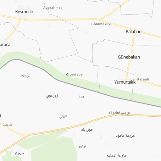
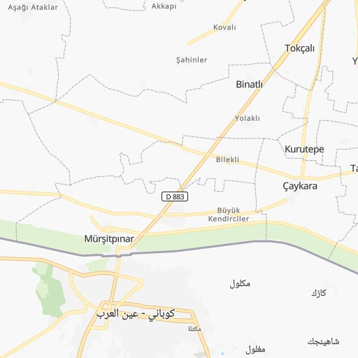
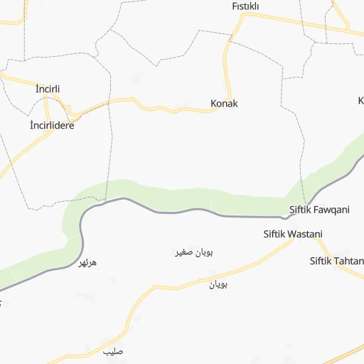
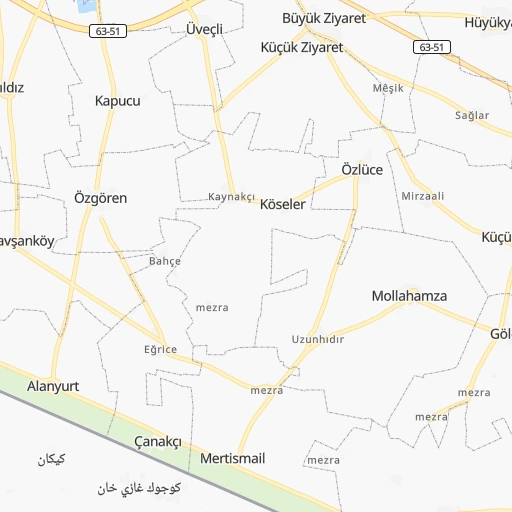
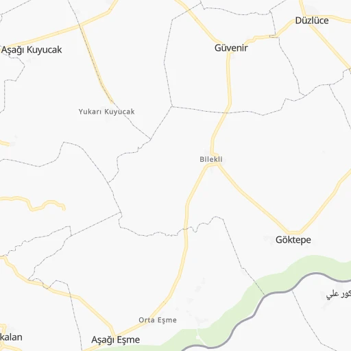
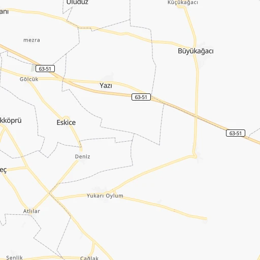
Roadmap (route) to go from ‘Ayn al ‘Arab to Tartouss detailed above, you can also see the course layout on the map.
While doing trip ‘Ayn al ‘Arab - Tartouss by car, the calculated route ends at a distance , or more straight.
Distance and duration of the route between ‘Ayn al ‘Arab and Tartouss
Calculation of distance and route from Tartouss to ‘Ayn al ‘Arab :
314.3391.6 km5h45mn
Continue 0h0mn 96 mTurn right 0h0mn 301 mAt roundabout, take exit 3 onto دوار آذادي 0h25mn 27.8 kmKeep right 0h4mn 3.5 kmTurn right onto طريق سوريا 0h26mn 29.9 kmAt roundabout, take exit 2 onto دوار المطاحن 1h38mn 43.9 kmAt roundabout, take exit 2 onto M4 0h5mn 6.3 kmTurn right 0h0mn 217 mTurn sharp left onto 212 0h26mn 28.5 kmTurn left 0h1mn 1.0 kmAt roundabout, take exit 2 onto دوار الحلوانية 0h1mn 720 mTurn slight left 0h0mn 311 mTurn right 0h0mn 204 mAt roundabout, take exit 4 onto شارع الراشدين 0h0mn 535 mKeep right onto شارع قاضي عسكر 0h0mn 481 mAt roundabout, take exit 2 onto شارع محمد فارس 0h1mn 613 mAt roundabout, take exit 3 onto شارع الخندق 0h1mn 1.3 kmKeep left onto شارع باب الفرج 0h0mn 107 mContinue onto شارع باب الفرج 0h0mn 99 mKeep right onto شارع باب الفرج 0h0mn 14 mContinue onto شارع باب الفرج 0h0mn 179 mTurn right onto شارع المتنبي 0h1mn 1.3 kmAt roundabout, take exit 1 0h1mn 589 mKeep left 0h3mn 3.0 kmAt roundabout, take exit 2 onto دوار الموت 0h3mn 3.0 kmKeep left onto M5 0h24mn 40.1 kmKeep right onto M4 0h20mn 32.9 kmKeep right 0h0mn 426 mKeep left 0h0mn 48 mTurn left onto 4 0h1mn 1.1 kmKeep left 0h2mn 1.5 kmTurn left 0h1mn 857 mTurn left onto 4 0h2mn 2.2 kmTurn left 1h48mn 80.5 kmTurn left onto 1 0h0mn 14 mTurn left onto M4 0h0mn 21 mKeep right 1h43mn 71.8 kmKeep right 0h0mn 310 mTurn right 0h3mn 3.0 kmAt roundabout, take exit 1 0h0mn 230 mKeep left 0h1mn 651 mAt roundabout, take exit 2 onto شارع 6 تشرين 0h1mn 1.0 kmAt roundabout, take exit 2 onto شارع 6 تشرين 0h0mn 340 mTurn right 0h0mn 45 mTurn left 0h0mn 360 mTurn right 0h0mn 102 mTurn slight left 0h0mn 75 mArrive at destination 0h0mn 0 m
Travel from ‘Ayn al ‘Arab (Tartus) to a selection of major cities.
Distances from ‘Ayn al ‘Arab to biggest cities in Aleppo
Other major cities in country :
Route from Tartouss to major cities (Syria).
- Distance Tartouss Aleppo186 km
- Distance Tartouss Damascus158 km
- Distance Tartouss Homs79 km
- Distance Tartouss Hamah84 km
- Distance Tartouss Latakia72 km
- Distance Tartouss Deir ez-Zor391 km
- Distance Tartouss Ar Raqqah307 km
- Distance Tartouss Al Bab221 km
- Distance Tartouss Idlib134 km
- Distance Tartouss Douma154 km
- Distance Tartouss Dar'a253 km
- Distance Tartouss As Safirah189 km
- Distance Tartouss As Salamiyah107 km
- Distance Tartouss Ath Thawrah264 km
- Distance Tartouss Al Hasakah475 km
- Distance Tartouss Darayya162 km
- Distance Tartouss Manbij261 km
- Distance Tartouss I`zaz216 km
- Distance Tartouss Jablah53 km
- Distance Tartouss As Suwayda'251 km
Nearest cities to ‘Ayn al ‘Arab :
- Aleppo, 1,602,264 inhabitants. 131 km
- Homs, 775,404 inhabitants. 282 km
- Hamah, 460,602 inhabitants. 243 km
- Latakia, 340,181 inhabitants. 275 km
- Deir ez-Zor, 242,565 inhabitants. 236 km
- Ar Raqqah, 177,636 inhabitants. 120 km
- Al Bab, 130,745 inhabitants. 95 km
- Idlib, 128,840 inhabitants. 188 km
- As Safirah, 95,832 inhabitants. 126 km
- As Salamiyah, 94,887 inhabitants. 240 km
- Tartouss, 89,457 inhabitants. 315 km
- Ath Thawrah, 87,880 inhabitants. 119 km
- Al Hasakah, 81,539 inhabitants. 218 km
- Manbij, 68,888 inhabitants. 54 km
- I`zaz, 66,138 inhabitants. 121 km
- Jablah, 65,915 inhabitants. 277 km
- Albu Kamal, 57,572 inhabitants. 357 km
- Al Mayadin, 54,534 inhabitants. 281 km
- Ar Rastan, 53,152 inhabitants. 263 km
- Tadmur, 51,015 inhabitants. 259 km
- 'Ayn al 'Arab, 50,000 inhabitants. 0 km
- An Nabk, 49,372 inhabitants. 351 km
- Khan Shaykhun, 48,975 inhabitants. 222 km
- `Afrin, 48,693 inhabitants. 139 km
- Kafranbel, 45,652 inhabitants. 214 km
- Al Qusayr, 41,062 inhabitants. 310 km
- Yabrud, 40,502 inhabitants. 360 km
- Jisr ash Shughur, 39,311 inhabitants. 218 km
- Baniyas, 39,066 inhabitants. 288 km
- Tallbisah, 38,491 inhabitants. 271 km
- Tadif, 34,670 inhabitants. 95 km
- Saraqib, 34,231 inhabitants. 180 km
- Masyaf, 32,262 inhabitants. 272 km
- Ma`arratmisrin, 32,163 inhabitants. 180 km
- Al Qaryatayn, 31,748 inhabitants. 313 km
- Salqin, 31,608 inhabitants. 190 km
- Souran, 30,716 inhabitants. 229 km
- Binnish, 30,354 inhabitants. 180 km
- Tallkalakh, 29,754 inhabitants. 311 km
- Tayyibat al Imam, 29,259 inhabitants. 234 km
- Hajin, 29,237 inhabitants. 331 km
- Dayr Hafir, 28,905 inhabitants. 100 km
- Satita, 27,815 inhabitants. 306 km
- Tall Rif`at, 25,658 inhabitants. 122 km
- Nubl, 25,546 inhabitants. 134 km
- Subaykhan, 25,514 inhabitants. 304 km
- Jarabulus, 24,997 inhabitants. 32 km
- Halfaya, 23,403 inhabitants. 240 km
- Kafr Takharim, 22,436 inhabitants. 186 km
- Ad Dana, 21,987 inhabitants. 160 km
Location ‘Ayn al ‘Arab (Aleppo) :
| Country flag |  |
| Location | ‘Ayn al ‘Arab |
| State | Aleppo |
| County | |
| Country | Syria |
| Country code / ISO 2 | SY |
| Latitude | 36.8909500 |
| Longitude | 38.3534700 |
| Altitude | 0 meters |
| Time zone | Asia/Damascus |
Location Tartouss (Tartus) :
| Country flag | |
| Location | Tartouss |
| State | Tartus |
| County | |
| Country | Syria |
| Country code / ISO 2 | SY |
| Latitude | 34.8890200 |
| Longitude | 35.8865900 |
| Altitude | 0 meters |
| Time zone | Asia/Damascus |