


How to get from Subaykhān (Deir ez-Zor) to Tadmur (Homs)
Calculate route from Subaykhān (Deir ez-Zor, Syria) to Tadmur (Homs, Syria).
The flight distance (as the crow flies) between Subaykhān and Tadmur is 214.0 km.
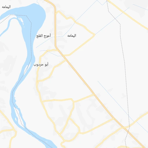
Roadmap (route) to go from Subaykhān to Tadmur detailed above, you can also see the course layout on the map.
While doing trip Subaykhān - Tadmur by car, the calculated route ends at a distance , or more straight.
Distance and duration of the route between Subaykhān and Tadmur
Calculation of distance and route from Tadmur to Subaykhān :
214.0267.8 km3h29mn
Continue 0h2mn 756 mTurn sharp left 0h2mn 1.0 kmTurn right onto طريق حلب - الرمادي 0h15mn 17.7 kmAt roundabout, take exit 2 onto طريق حلب - الرمادي 0h5mn 6.1 kmAt roundabout, take exit 3 onto طريق حلب - الرمادي 0h2mn 2.4 kmAt roundabout, take exit 3 1h35mn 38.3 kmTurn left 0h8mn 6.7 kmTurn left 0h0mn 253 mKeep right 0h0mn 112 mKeep right 0h22mn 18.1 kmTurn left onto 7 2h56mn 173.5 kmKeep left 0h1mn 1.5 kmAt roundabout, take exit 3 0h1mn 888 mAt roundabout, take exit 1 0h0mn 251 mTurn left 0h0mn 88 mTurn right 0h0mn 125 mTurn left 0h0mn 74 mTurn right 0h0mn 41 mArrive at destination 0h0mn 0 m
Travel from Subaykhān (Homs) to a selection of major cities.
Distances from Subaykhān to biggest cities in Deir ez-Zor
Other major cities in country :
Route from Tadmur to major cities (Syria).
- Distance Tadmur Aleppo209 km
- Distance Tadmur Damascus218 km
- Distance Tadmur Hamah153 km
- Distance Tadmur Latakia252 km
- Distance Tadmur Deir ez-Zor190 km
- Distance Tadmur Ar Raqqah168 km
- Distance Tadmur Al Bab213 km
- Distance Tadmur Idlib214 km
- Distance Tadmur Douma206 km
- Distance Tadmur Dar'a296 km
- Distance Tadmur As Safirah188 km
- Distance Tadmur As Salamiyah123 km
- Distance Tadmur Tartouss222 km
- Distance Tadmur Ath Thawrah144 km
- Distance Tadmur Al Hasakah311 km
- Distance Tadmur Darayya226 km
- Distance Tadmur Manbij221 km
- Distance Tadmur I`zaz252 km
- Distance Tadmur Jablah233 km
- Distance Tadmur As Suwayda'260 km
Nearest cities to Subaykhān :
- Deir ez-Zor, 242,565 inhabitants. 68 km
- Ar Raqqah, 177,636 inhabitants. 189 km
- Ath Thawrah, 87,880 inhabitants. 216 km
- Al Hasakah, 81,539 inhabitants. 184 km
- Manbij, 68,888 inhabitants. 303 km
- Albu Kamal, 57,572 inhabitants. 53 km
- Al Mayadin, 54,534 inhabitants. 23 km
- Tadmur, 51,015 inhabitants. 214 km
- 'Ayn al 'Arab, 50,000 inhabitants. 304 km
- Hajin, 29,237 inhabitants. 28 km
- Dayr Hafir, 28,905 inhabitants. 300 km
- Subaykhan, 25,514 inhabitants. 0 km
- Jarabulus, 24,997 inhabitants. 320 km
- Ad Darbasiyah, 21,481 inhabitants. 247 km
Location Subaykhān (Deir ez-Zor) :
| Country flag |  |
| Location | Subaykhān |
| State | Deir ez-Zor |
| County | |
| Country | Syria |
| Country code / ISO 2 | SY |
| Latitude | 34.8530500 |
| Longitude | 40.5998700 |
| Altitude | 0 meters |
| Time zone | Asia/Damascus |
Location Tadmur (Homs) :
| Country flag | |
| Location | Tadmur |
| State | Homs |
| County | |
| Country | Syria |
| Country code / ISO 2 | SY |
| Latitude | 34.5624000 |
| Longitude | 38.2840200 |
| Altitude | 0 meters |
| Time zone | Asia/Damascus |