


How to get from Nīm Īstgāh-e ‘Amīdābād (Zanjan) to Bījār (Kordestān)
Calculate route from Nīm Īstgāh-e ‘Amīdābād (Zanjan, Iran) to Bījār (Kordestān, Iran).
The flight distance (as the crow flies) between Nīm Īstgāh-e ‘Amīdābād and Bījār is 135.0 km.
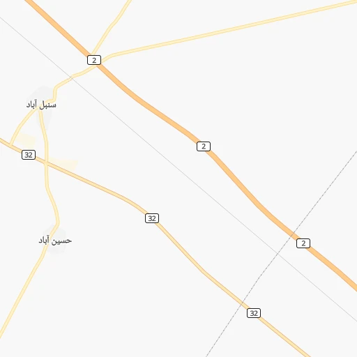
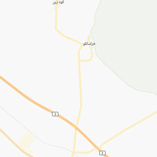
Roadmap (route) to go from Nīm Īstgāh-e ‘Amīdābād to Bījār detailed above, you can also see the course layout on the map.
While doing trip Nīm Īstgāh-e ‘Amīdābād - Bījār by car, the calculated route ends at a distance , or more straight.
Distance and duration of the route between Nīm Īstgāh-e ‘Amīdābād and Bījār
Calculation of distance and route from Bījār to Nīm Īstgāh-e ‘Amīdābād :
135.0174.4 km3h45mn
Continue 0h0mn 17 mTurn sharp left 0h5mn 1.4 kmTurn left onto جاده قدیم قزوین_ زنجان 0h0mn 74 mTurn sharp right 0h2mn 1.6 kmTurn right 0h12mn 10.0 kmTurn right onto جاده دسترسی به معبد داش کسن 0h0mn 392 mTurn right 0h1mn 435 mTurn left 0h12mn 10.1 kmTurn right onto جاده سلطانیه- قیدار 0h0mn 212 mMake a U-turn onto جاده سلطانیه- قیدار 0h23mn 28.3 kmAt roundabout, take exit 1 0h4mn 4.4 kmAt roundabout, take exit 2 onto خیابان امام 0h1mn 811 mAt roundabout, take exit 3 onto بلوار شهید بهشتی 0h1mn 1.6 kmAt roundabout, take exit 2 onto بلوار شهید چمران 0h1mn 626 mTurn right onto بلوار کشاورز 0h0mn 369 mContinue onto جاده پسکوهان 0h6mn 8.6 kmTurn slight right onto بیجار - قیدار 1h45mn 51.8 kmContinue onto بیجار - قیدار 1h32mn 32.3 kmTurn left onto زنجان - بیجار 0h14mn 16.7 kmKeep right onto بلوار الغدیر 0h2mn 2.3 kmAt roundabout, take exit 3 onto بلوار شهید رحمانی 0h1mn 1.2 kmAt roundabout, take exit 1 onto خیابان توحید شمالی 0h1mn 857 mAt roundabout, take exit 2 onto توحید 0h0mn 299 mTurn sharp right onto کوچه بنیاد پانزده خرداد 0h0mn 30 mArrive at destination 0h0mn 0 m
Travel from Nīm Īstgāh-e ‘Amīdābād (Kordestān) to a selection of major cities.
Distances from Nīm Īstgāh-e ‘Amīdābād to biggest cities in Zanjan
Other major cities in country :
- Abadan [15], 370,180 inhabitants. 676 km
- Bandar Abbas [11], 352,173 inhabitants. 1,235 km
- Sanandaj [16], 349,176 inhabitants. 214 km
- Qazvin [38], 333,635 inhabitants. 94 km
- Khorramshahr [15], 330,606 inhabitants. 666 km
- Khorramabad [23], 329,825 inhabitants. 327 km
- Khomeyni Shahr [28], 277,334 inhabitants. 475 km
- Sari [35], 255,396 inhabitants. 367 km
- Borujerd [23], 251,958 inhabitants. 278 km
- Qarchak [26], 251,834 inhabitants. 258 km
- Gorgan [37], 244,937 inhabitants. 492 km
- Sabzevar [42], 226,183 inhabitants. 782 km
- Najafabad [28], 223,450 inhabitants. 472 km
- Neyshabur [42], 220,929 inhabitants. 882 km
- Nazarabad [44], 213,388 inhabitants. 155 km
- Bukan [01], 213,331 inhabitants. 247 km
- Sirjan [29], 207,645 inhabitants. 994 km
- Babol [35], 202,796 inhabitants. 333 km
- Amol [35], 199,382 inhabitants. 303 km
- Birjand [41], 196,982 inhabitants. 1,017 km
Route from Bījār to major cities (Iran).
- Distance Bījār Tehran345 km
- Distance Bījār Mashhad1,077 km
- Distance Bījār Isfahan518 km
- Distance Bījār Karaj306 km
- Distance Bījār Tabriz273 km
- Distance Bījār Shiraz835 km
- Distance Bījār Qom327 km
- Distance Bījār Ahvaz516 km
- Distance Bījār Pasragad Branch145 km
- Distance Bījār Kahriz173 km
- Distance Bījār Kermanshah180 km
- Distance Bījār Rasht237 km
- Distance Bījār Kerman1,080 km
- Distance Bījār Orumiyeh294 km
- Distance Bījār Zahedan1,428 km
- Distance Bījār Hamadan145 km
- Distance Bījār Azadshahr148 km
- Distance Bījār Arak274 km
- Distance Bījār Yazd765 km
- Distance Bījār Ardabil272 km
Nearest cities to Nīm Īstgāh-e ‘Amīdābād :
- Tehran, 7,153,309 inhabitants. 234 km
- Karaj, 1,448,075 inhabitants. 192 km
- Tabriz, 1,424,641 inhabitants. 303 km
- Qom, 900,000 inhabitants. 260 km
- Pasragad Branch, 787,878 inhabitants. 185 km
- Kahriz, 766,706 inhabitants. 282 km
- Kermanshah, 621,100 inhabitants. 288 km
- Rasht, 594,590 inhabitants. 114 km
- Hamadan, 528,256 inhabitants. 181 km
- Azadshahr, 514,102 inhabitants. 181 km
- Arak, 503,647 inhabitants. 264 km
- Ardabil, 410,753 inhabitants. 216 km
- Zanjan, 357,471 inhabitants. 53 km
- Sanandaj, 349,176 inhabitants. 214 km
- Qazvin, 333,635 inhabitants. 94 km
- Khorramabad, 329,825 inhabitants. 327 km
- Borujerd, 251,958 inhabitants. 278 km
- Qarchak, 251,834 inhabitants. 258 km
- Nazarabad, 213,388 inhabitants. 155 km
- Bukan, 213,331 inhabitants. 247 km
- Varamin, 179,603 inhabitants. 269 km
- Malayer, 176,573 inhabitants. 232 km
- Saveh, 175,533 inhabitants. 197 km
- Saqqez, 151,237 inhabitants. 242 km
- Ilam, 140,940 inhabitants. 384 km
- Miandoab, 132,819 inhabitants. 263 km
- Bandar-e Anzali, 110,826 inhabitants. 129 km
- Kuhdasht, 100,208 inhabitants. 341 km
- Ahar, 94,348 inhabitants. 287 km
- Marivan, 91,664 inhabitants. 269 km
- Aligudarz, 91,041 inhabitants. 339 km
- Qorveh, 87,953 inhabitants. 171 km
- Bonab, 80,359 inhabitants. 280 km
- Shahre Jadide Andisheh, 80,000 inhabitants. 201 km
- Khomeyn, 77,425 inhabitants. 322 km
- Nahavand, 76,250 inhabitants. 250 km
- Alvand, 74,889 inhabitants. 20 km
- Nurabad, 73,528 inhabitants. 273 km
- Takestan, 71,499 inhabitants. 74 km
- Abhar, 69,889 inhabitants. 35 km
- Chalus, 69,638 inhabitants. 222 km
- Langarud, 68,148 inhabitants. 139 km
- Robat Karim, 62,753 inhabitants. 216 km
- Kamyaran, 61,642 inhabitants. 255 km
- Asadabad, 59,617 inhabitants. 194 km
- Shahriar, 58,849 inhabitants. 205 km
- Harsin, 57,647 inhabitants. 267 km
- Malard, 56,745 inhabitants. 198 km
- Abyek, 55,128 inhabitants. 147 km
- Bijar, 53,871 inhabitants. 135 km
Location Nīm Īstgāh-e ‘Amīdābād (Zanjan) :
| Country flag |  |
| Location | Nīm Īstgāh-e ‘Amīdābād |
| State | Zanjan |
| County | |
| Country | Iran |
| Country code / ISO 2 | IR |
| Latitude | 36.3864700 |
| Longitude | 48.9643700 |
| Altitude | 0 meters |
| Time zone | Asia/Tehran |
Location Bījār (Kordestān) :
| Country flag | |
| Location | Bījār |
| State | Kordestān |
| County | |
| Country | Iran |
| Country code / ISO 2 | IR |
| Latitude | 35.8668000 |
| Longitude | 47.6050600 |
| Altitude | 0 meters |
| Time zone | Asia/Tehran |