
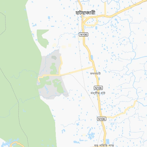
How to get from Chowdhury Hāt (Chittagong) to Comilla (Chittagong)
Calculate route from Chowdhury Hāt (Chittagong, Bangladesh) to Comilla (Chittagong, Bangladesh).
The flight distance (as the crow flies) between Chowdhury Hāt and Comilla is 130.2 km.
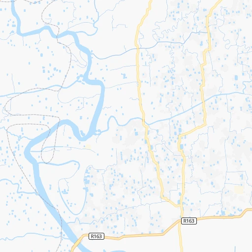
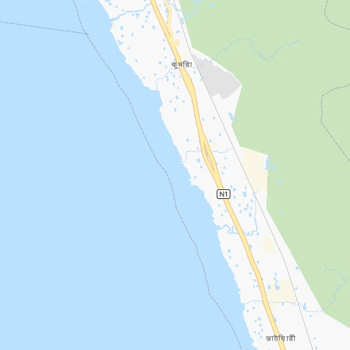
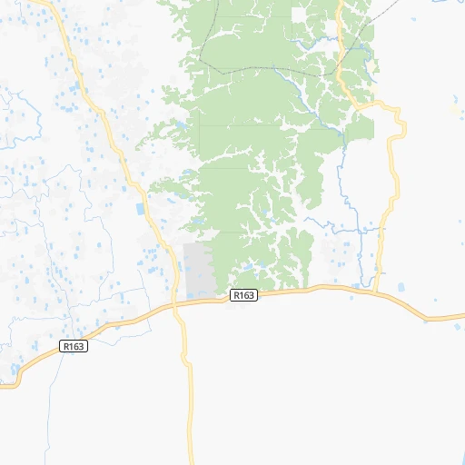
Roadmap (route) to go from Chowdhury Hāt to Comilla detailed above, you can also see the course layout on the map.
While doing trip Chowdhury Hāt - Comilla by car, the calculated route ends at a distance , or more straight.
Distance and duration of the route between Chowdhury Hāt and Comilla
Calculation of distance and route from Comilla to Chowdhury Hāt :
130.2154.1 km2h4mn
Continue 0h0mn 94 mTurn left onto Chittagong - Rangamati Road 0h1mn 926 mMake a U-turn onto Chittagong - Rangamati Road 0h2mn 2.5 kmTurn right onto Katakhali Road 0h10mn 10.8 kmTurn sharp left onto ঢাকা - চট্টগ্রাম মহাসড়ক 0h1mn 1.6 kmKeep right 0h0mn 170 mTurn sharp right onto ঢাকা - চট্টগ্রাম মহাসড়ক 1h36mn 41.9 kmContinue onto ঢাকা-চট্টগ্রাম মহাসড়ক 0h0mn 364 mContinue onto ঢাকা-চট্টগ্রাম মহাসড়ক 0h3mn 3.9 kmContinue onto ঢাকা-চট্টগ্রাম মহাসড়ক 0h5mn 5.9 kmContinue onto ঢাকা-চট্টগ্রাম মহাসড়ক 0h6mn 6.7 kmContinue onto ঢাকা-চট্টগ্রাম মহাসড়ক 1h47mn 67.1 kmTurn right onto N120 0h0mn 11 mTurn left onto Comilla Bypass Road 0h8mn 8.8 kmKeep left onto Comilla Bypass Road 0h2mn 2.9 kmKeep left onto Rajgonj Bazar Road 0h0mn 317 mTurn left 0h1mn 108 mArrive at destination 0h0mn 0 m
Travel from Chowdhury Hāt (Chittagong) to a selection of major cities.
Distances from Chowdhury Hāt to biggest cities in Chittagong
Other major cities in country :
- Paltan [81], 184,492 inhabitants. 203 km
- Tangail [81], 180,144 inhabitants. 279 km
- Jamalpur [H], 167,900 inhabitants. 335 km
- Puthia [83], 159,406 inhabitants. 372 km
- Nawabganj [83], 142,361 inhabitants. 433 km
- Kushtia [82], 135,724 inhabitants. 320 km
- Sonargaon [81], 130,000 inhabitants. 182 km
- Satkhira [82], 128,918 inhabitants. 284 km
- Sirajganj [83], 127,481 inhabitants. 311 km
- Faridpur [81], 112,187 inhabitants. 240 km
- Sherpur [H], 107,419 inhabitants. 340 km
- Bhairab Bazar [81], 105,457 inhabitants. 199 km
- Shahzadpur [83], 102,420 inhabitants. 298 km
- Bhola [85], 99,079 inhabitants. 124 km
- Azimpur [81], 96,641 inhabitants. 205 km
- Kishorganj [81], 90,690 inhabitants. 246 km
- Habiganj [86], 88,760 inhabitants. 219 km
- Madaripur [81], 84,789 inhabitants. 184 km
- Ishurdi [83], 81,995 inhabitants. 338 km
- Sarishabari [H], 81,325 inhabitants. 327 km
Route from Comilla to major cities (Bangladesh).
- Distance Comilla Dhaka84 km
- Distance Comilla Khulna181 km
- Distance Comilla Rajshahi282 km
- Distance Comilla Shibganj255 km
- Distance Comilla Natore247 km
- Distance Comilla Rangpur321 km
- Distance Comilla Tungi93 km
- Distance Comilla Narsingdi70 km
- Distance Comilla Bagerhat169 km
- Distance Comilla Jessore204 km
- Distance Comilla Nagarpur149 km
- Distance Comilla Sylhet175 km
- Distance Comilla Mymensingh164 km
- Distance Comilla Narayanganj72 km
- Distance Comilla Bogra241 km
- Distance Comilla Dinajpur353 km
- Distance Comilla Barisal119 km
- Distance Comilla Saidpur347 km
- Distance Comilla Par Naogaon272 km
- Distance Comilla Pabna208 km
Nearest cities to Chowdhury Hāt :
- Dhaka, 10,356,500 inhabitants. 202 km
- Chittagong, 3,920,222 inhabitants. 12 km
- Khulna, 1,342,339 inhabitants. 235 km
- Comilla, 389,411 inhabitants. 130 km
- Shibganj, 378,701 inhabitants. 382 km
- Natore, 369,138 inhabitants. 363 km
- Tungi, 337,579 inhabitants. 217 km
- Narsingdi, 281,080 inhabitants. 199 km
- Bagerhat, 266,388 inhabitants. 210 km
- Cox's Bazar, 253,788 inhabitants. 114 km
- Jessore, 243,987 inhabitants. 279 km
- Nagarpur, 238,422 inhabitants. 268 km
- Sylhet, 237,000 inhabitants. 273 km
- Mymensingh, 225,126 inhabitants. 295 km
- Narayanganj, 223,622 inhabitants. 187 km
- Bogra, 210,000 inhabitants. 366 km
- Barisal, 202,242 inhabitants. 152 km
- Par Naogaon, 192,464 inhabitants. 393 km
- Pabna, 186,781 inhabitants. 316 km
- Paltan, 184,492 inhabitants. 203 km
- Tangail, 180,144 inhabitants. 279 km
- Jamalpur, 167,900 inhabitants. 335 km
- Puthia, 159,406 inhabitants. 372 km
- Kushtia, 135,724 inhabitants. 320 km
- Sonargaon, 130,000 inhabitants. 182 km
- Satkhira, 128,918 inhabitants. 284 km
- Sirajganj, 127,481 inhabitants. 311 km
- Faridpur, 112,187 inhabitants. 240 km
- Sherpur, 107,419 inhabitants. 340 km
- Bhairab Bazar, 105,457 inhabitants. 199 km
- Shahzadpur, 102,420 inhabitants. 298 km
- Bhola, 99,079 inhabitants. 124 km
- Azimpur, 96,641 inhabitants. 205 km
- Kishorganj, 90,690 inhabitants. 246 km
- Bibir Hat, 89,030 inhabitants. 27 km
- Habiganj, 88,760 inhabitants. 219 km
- Madaripur, 84,789 inhabitants. 184 km
- Feni, 84,028 inhabitants. 77 km
- Laksham, 82,290 inhabitants. 114 km
- Ishurdi, 81,995 inhabitants. 338 km
- Sarishabari, 81,325 inhabitants. 327 km
- Netrakona, 79,016 inhabitants. 293 km
- Joypur Hat, 73,068 inhabitants. 410 km
- Palang, 67,652 inhabitants. 173 km
- Raipur, 64,652 inhabitants. 126 km
- Tungipara, 62,210 inhabitants. 203 km
- Lakshmipur, 61,703 inhabitants. 116 km
- Maulavi Bazar, 57,441 inhabitants. 228 km
- Joymontop, 56,000 inhabitants. 226 km
- Ramganj, 55,241 inhabitants. 123 km
Location Chowdhury Hāt (Chittagong) :
| Country flag |  |
| Location | Chowdhury Hāt |
| State | Chittagong |
| County | Chittagong |
| Country | Bangladesh |
| Country code / ISO 2 | BD |
| Latitude | 22.4454100 |
| Longitude | 91.8178500 |
| Altitude | 0 meters |
| Time zone | Asia/Dhaka |
Location Comilla (Chittagong) :
| Country flag | |
| Location | Comilla |
| State | Chittagong |
| County | Comilla |
| Country | Bangladesh |
| Country code / ISO 2 | BD |
| Latitude | 23.4618600 |
| Longitude | 91.1850300 |
| Altitude | 0 meters |
| Time zone | Asia/Dhaka |
