
How to get from Piaro Goth Railway Station (Sindh) to Kotli (Azad Kashmir)
Calculate route from Piaro Goth Railway Station (Sindh, Pakistan) to Kotli (Azad Kashmir, Pakistan).
The flight distance (as the crow flies) between Piaro Goth Railway Station and Kotli is 934.7 km.
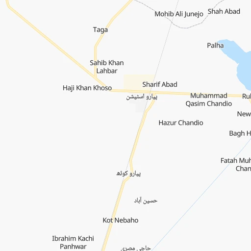
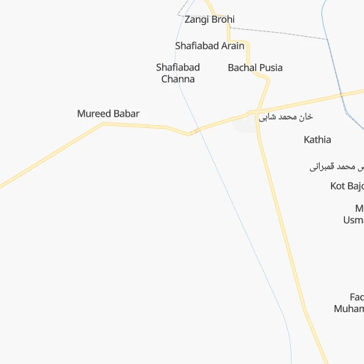
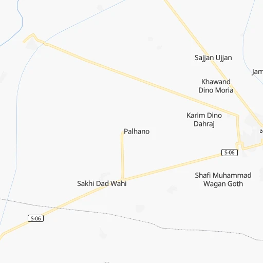
Roadmap (route) to go from Piaro Goth Railway Station to Kotli detailed above, you can also see the course layout on the map.
While doing trip Piaro Goth Railway Station - Kotli by car, the calculated route ends at a distance , or more straight.
Distance and duration of the route between Piaro Goth Railway Station and Kotli
Calculation of distance and route from Kotli to Piaro Goth Railway Station :
934.71,104.2 km13h29mn
Continue 0h1mn 496 mTurn left onto S07-128 0h3mn 2.2 kmTurn right 0h13mn 11.2 kmTurn left 0h10mn 8.5 kmTurn right onto S07-122 0h2mn 1.6 kmTurn left 0h12mn 9.9 kmTurn right 0h1mn 441 mContinue onto S-07 0h19mn 20.6 kmTurn right onto S-07 0h6mn 6.3 kmKeep right 0h8mn 6.6 kmTurn sharp right onto S07-018 0h0mn 13 mTurn sharp left 0h14mn 11.6 kmTurn right 1h54mn 67.5 kmKeep left 0h9mn 12.1 kmMake a U-turn onto National Highway Rohir By Pass 0h0mn 518 mTurn left 0h1mn 650 mTurn right 0h0mn 53 mKeep right 5h43mn 488.5 kmKeep left onto ایم 4 موٹروے and take M3 toward Multan 2h6mn 190.3 kmKeep left toward M-2 0h2mn 4.2 kmKeep left and drive toward حافظ آباد, پنڈی بھٹیاں 0h1mn 988 mTurn sharp right onto Pindi Bhattian-Chiniot Road 0h15mn 17.6 kmKeep left onto ڈگری کالج روڈ 0h1mn 599 mContinue 0h2mn 1.9 kmTurn slight right onto وزیرآباد روڈ 0h29mn 35.0 kmTurn slight left 0h6mn 5.6 kmTurn slight left onto Qadirabad Headworks 0h15mn 13.8 kmKeep left 0h4mn 3.3 kmTurn left onto گجرات - سرگودھا روڈ 0h1mn 722 mMake a U-turn onto گجرات - سرگودھا روڈ 0h0mn 397 mTurn left onto Malkwal-Mandi Bahuaddin Road 0h5mn 6.2 kmTurn right onto Dinga - Phalia Road 0h16mn 17.2 kmTurn left 0h2mn 1.9 kmTurn left 0h0mn 23 mTurn left onto کھاریاں - سرگودھا سڑک 0h0mn 133 mMake a U-turn onto کھاریاں - سرگودھا سڑک 0h18mn 21.2 kmTurn left onto Mohri road 0h1mn 1.3 kmTurn right 0h10mn 13.1 kmKeep left 0h0mn 44 mTurn slight right 0h0mn 162 mTurn left onto Mandi Bahauddin–Sarai Alamgir Road 0h0mn 130 mTurn sharp right 0h0mn 311 mTurn slight left onto Mirpur Road 0h7mn 8.0 kmTurn slight left 0h0mn 361 mTurn right 0h0mn 294 mTurn slight left onto مرکزی سڑک 0h13mn 13.3 kmTurn right 0h0mn 105 mTurn left onto Jatlan Bhimber Road 0h0mn 537 mTurn slight right onto Jatlan/Mirpur 0h8mn 8.4 kmKeep right 0h4mn 1.8 kmTurn left onto Mirpur Highway 0h0mn 10 mKeep right 0h1mn 332 mTurn sharp right onto Chakswari Road 0h15mn 13.5 kmTurn right 0h8mn 8.5 kmContinue onto Choki Smahni Road 0h22mn 22.3 kmKeep left 0h3mn 3.2 kmTurn left 0h19mn 19.1 kmTurn sharp right 0h17mn 18.7 kmTurn left 0h0mn 195 mTurn slight left 0h1mn 427 mTurn right onto Kotli Road 0h0mn 110 mTurn sharp left 0h0mn 212 mTurn sharp right 0h0mn 54 mArrive at destination 0h0mn 0 m
Travel from Piaro Goth Railway Station (Azad Kashmir) to a selection of major cities.
Distances from Piaro Goth Railway Station to biggest cities in Sindh
- Tando Muhammad Khan,72,659 inhabitants.215 km
- Shahdadpur,67,249 inhabitants.139 km
- Ghotki,64,295 inhabitants.189 km
- Sanghar,62,033 inhabitants.151 km
- Rohri,50,649 inhabitants.135 km
- Matli,50,398 inhabitants.228 km
- Mirpur Mathelo,49,311 inhabitants.209 km
- Hala,47,915 inhabitants.140 km
- Ratodero,47,819 inhabitants.106 km
- Thatta,44,302 inhabitants.245 km
- Umarkot,42,074 inhabitants.261 km
- Sehwan,41,150 inhabitants.58 km
- Khairpur,40,083 inhabitants.224 km
- New Badah,38,855 inhabitants.49 km
- Pir Jo Goth,35,537 inhabitants.107 km
- Thul,34,472 inhabitants.172 km
- Gambat,34,005 inhabitants.83 km
- Kashmor,33,732 inhabitants.240 km
- Naudero,33,455 inhabitants.96 km
- Setharja Old,32,651 inhabitants.71 km
Other major cities in country :
- Kasur [04], 290,643 inhabitants. 795 km
- Mingora [03], 279,914 inhabitants. 974 km
- Dera Ghazi Khan [04], 236,093 inhabitants. 442 km
- Sahiwal [04], 235,695 inhabitants. 661 km
- Okara [04], 223,648 inhabitants. 697 km
- Chiniot [04], 201,781 inhabitants. 730 km
- Shahkot [04], 200,000 inhabitants. 753 km
- Kamoke [04], 199,531 inhabitants. 836 km
- Saddiqabad [04], 189,876 inhabitants. 274 km
- Burewala [04], 183,915 inhabitants. 593 km
- Muzaffargarh [04], 165,192 inhabitants. 480 km
- Muridke [04], 164,246 inhabitants. 826 km
- Jhelum [04], 164,080 inhabitants. 877 km
- Hafizabad [04], 153,656 inhabitants. 805 km
- Kohat [03], 151,427 inhabitants. 817 km
- Khanpur [04], 142,426 inhabitants. 338 km
- Khuzdar [02], 141,227 inhabitants. 153 km
- Gojra [04], 139,726 inhabitants. 665 km
- Mandi Bahauddin [04], 129,733 inhabitants. 833 km
- Daska Kalan [04], 126,924 inhabitants. 870 km
Route from Kotli to major cities (Pakistan).
- Distance Kotli Karachi1,173 km
- Distance Kotli Lahore222 km
- Distance Kotli Faisalabad246 km
- Distance Kotli Rawalpindi80 km
- Distance Kotli Multan435 km
- Distance Kotli Hyderabad1,051 km
- Distance Kotli Gujranwala154 km
- Distance Kotli Peshawar222 km
- Distance Kotli Rahim Yar Khan663 km
- Distance Kotli Quetta750 km
- Distance Kotli Battagram152 km
- Distance Kotli Islamabad83 km
- Distance Kotli Bahawalpur505 km
- Distance Kotli Sargodha197 km
- Distance Kotli Sialkot128 km
- Distance Kotli Sukkur808 km
- Distance Kotli Larkana859 km
- Distance Kotli Shekhupura201 km
- Distance Kotli Jhang Sadr291 km
- Distance Kotli Gujrat106 km
Nearest cities to Piaro Goth Railway Station :
- Karachi, 11,624,219 inhabitants. 246 km
- Hyderabad, 1,386,330 inhabitants. 182 km
- Rahim Yar Khan, 788,915 inhabitants. 295 km
- Sukkur, 417,767 inhabitants. 133 km
- Larkana, 364,033 inhabitants. 78 km
- Malir Cantonment, 300,000 inhabitants. 231 km
- Nawabshah, 229,504 inhabitants. 98 km
- Mirpur Khas, 215,657 inhabitants. 198 km
- Saddiqabad, 189,876 inhabitants. 274 km
- Jacobabad, 170,588 inhabitants. 161 km
- Shikarpur, 156,901 inhabitants. 138 km
- Khanpur, 142,426 inhabitants. 338 km
- Khuzdar, 141,227 inhabitants. 153 km
- Dadu, 139,784 inhabitants. 25 km
- Tando Allahyar, 127,202 inhabitants. 188 km
- Tando Adam, 125,598 inhabitants. 156 km
- Khairpur Mir's, 124,602 inhabitants. 114 km
- Kandhkot, 88,468 inhabitants. 197 km
- Kambar, 77,481 inhabitants. 73 km
- Moro, 76,765 inhabitants. 37 km
- Shahdad Kot, 75,411 inhabitants. 100 km
- Badin, 73,569 inhabitants. 275 km
- Pano Aqil, 72,881 inhabitants. 163 km
- Kotri, 72,672 inhabitants. 183 km
- Tando Muhammad Khan, 72,659 inhabitants. 215 km
- Shahdadpur, 67,249 inhabitants. 139 km
- Ghotki, 64,295 inhabitants. 189 km
- Sibi, 64,069 inhabitants. 289 km
- Jampur, 63,791 inhabitants. 405 km
- Sanghar, 62,033 inhabitants. 151 km
- Rajanpur, 50,682 inhabitants. 344 km
- Rohri, 50,649 inhabitants. 135 km
- Matli, 50,398 inhabitants. 228 km
- Mirpur Mathelo, 49,311 inhabitants. 209 km
- Hala, 47,915 inhabitants. 140 km
- Ratodero, 47,819 inhabitants. 106 km
- Thatta, 44,302 inhabitants. 245 km
- Usta Muhammad, 43,983 inhabitants. 139 km
- Umarkot, 42,074 inhabitants. 261 km
- Sehwan, 41,150 inhabitants. 58 km
- Khairpur, 40,083 inhabitants. 224 km
- New Badah, 38,855 inhabitants. 49 km
- Pir Jo Goth, 35,537 inhabitants. 107 km
- Mehrabpur, 35,263 inhabitants. 131 km
- Thul, 34,472 inhabitants. 172 km
- Zahir Pir, 34,121 inhabitants. 338 km
- Gambat, 34,005 inhabitants. 83 km
- Kashmor, 33,732 inhabitants. 240 km
- Naudero, 33,455 inhabitants. 96 km
- Setharja Old, 32,651 inhabitants. 71 km
Location Piaro Goth Railway Station (Sindh) :
| Country flag |  |
| Location | Piaro Goth Railway Station |
| State | Sindh |
| County | |
| Country | Pakistan |
| Country code / ISO 2 | PK |
| Latitude | 26.9480700 |
| Longitude | 67.8159100 |
| Altitude | 0 meters |
| Time zone | Asia/Karachi |
Location Kotli (Azad Kashmir) :
| Country flag | |
| Location | Kotli |
| State | Azad Kashmir |
| County | |
| Country | Pakistan |
| Country code / ISO 2 | PK |
| Latitude | 33.5183600 |
| Longitude | 73.9022000 |
| Altitude | 0 meters |
| Time zone | Asia/Karachi |