
How to get from Mangochi (airport) (Southern Region) to Thyolo (Southern Region)
Calculate route from Mangochi (airport) (Southern Region, Malawi) to Thyolo (Southern Region, Malawi).
The flight distance (as the crow flies) between Mangochi (airport) and Thyolo is 176.2 km.
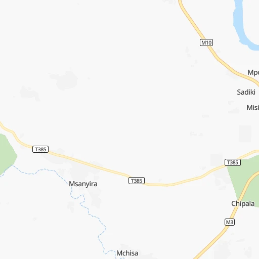
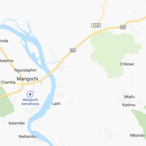
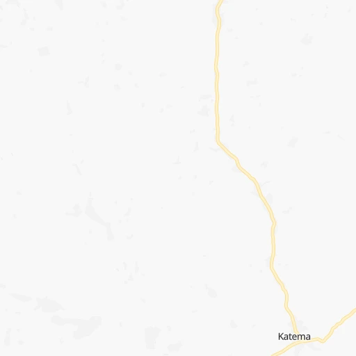
Roadmap (route) to go from Mangochi Airport to Thyolo detailed above, you can also see the course layout on the map.
While doing trip Mangochi (airport) - Thyolo by car, the calculated route ends at a distance , or more straight.
Distance and duration of the route between Mangochi (airport) and Thyolo
Calculation of distance and route from Thyolo to Mangochi (airport) :
176.2217.8 km3h57mn
Continue 0h0mn 91 mTurn right 0h0mn 117 mTurn left 0h0mn 237 mTurn right 0h1mn 469 mTurn left 0h0mn 66 mTurn right 0h0mn 156 mTurn left onto M3 1h52mn 68.7 kmTurn left onto M3 2h37mn 112.7 kmKeep left 0h0mn 186 mTurn slight left onto Zomba Road 0h1mn 1.2 kmTurn left onto Churchill Road 0h1mn 834 mAt roundabout, take exit 1 onto Churchill Road 0h1mn 654 mAt roundabout, take exit 3 onto Thyolo Road 0h22mn 32.1 kmTurn right 0h0mn 228 mTurn slight right 0h0mn 59 mArrive at destination 0h0mn 0 m
Travel from Mangochi (airport) (Southern Region) to a selection of major cities.
Distances from Mangochi Airport to biggest cities in Southern Region
Other major cities in country :
Route from Thyolo to major cities (Malawi).
- Distance Thyolo Lilongwe275 km
- Distance Thyolo Mzuzu526 km
Nearest cities to Mangochi (airport) :
- Lilongwe, 646,750 inhabitants. 170 km
- Blantyre, 584,877 inhabitants. 147 km
- Zomba, 80,932 inhabitants. 100 km
- Kasungu, 42,555 inhabitants. 251 km
- Mangochi, 40,236 inhabitants. 1 km
- Salima, 30,052 inhabitants. 117 km
- Nkhotakota, 24,865 inhabitants. 203 km
- Liwonde, 22,469 inhabitants. 65 km
- Nsanje, 21,774 inhabitants. 271 km
- Mzimba, 19,308 inhabitants. 340 km
- Balaka, 18,902 inhabitants. 64 km
- Mchinji, 18,305 inhabitants. 268 km
- Mulanje, 16,483 inhabitants. 174 km
- Dedza, 15,608 inhabitants. 101 km
- Luchenza, 11,939 inhabitants. 169 km
- Nkhata Bay, 11,721 inhabitants. 338 km
- Monkey Bay, 11,619 inhabitants. 59 km
- Mwanza, 11,379 inhabitants. 147 km
- Mponela, 11,222 inhabitants. 196 km
- Ntcheu, 10,445 inhabitants. 77 km
- Ntchisi, 7,918 inhabitants. 181 km
- Chikwawa, 6,987 inhabitants. 179 km
- Thyolo, 5,775 inhabitants. 176 km
- Dowa, 5,565 inhabitants. 171 km
- Chipoka, 4,346 inhabitants. 98 km
Location Mangochi (airport) (Southern Region) :
| Country flag |  |
| Location | Mangochi (airport) |
| State | Southern Region |
| County | Mangochi District |
| Country | Malawi |
| Country code / ISO 2 | MW |
| Latitude | -14.4868900 |
| Longitude | 35.2638000 |
| Altitude | 0 meters |
| Time zone | Africa/Blantyre |
Location Thyolo (Southern Region) :
| Country flag | |
| Location | Thyolo |
| State | Southern Region |
| County | Thyolo District |
| Country | Malawi |
| Country code / ISO 2 | MW |
| Latitude | -16.0677500 |
| Longitude | 35.1404600 |
| Altitude | 0 meters |
| Time zone | Africa/Blantyre |