
How to get from Irinjālakuda Railway Station (Kerala) to Erode (Tamil Nadu)
Calculate route from Irinjālakuda Railway Station (Kerala, India) to Erode (Tamil Nadu, India).
The flight distance (as the crow flies) between Irinjālakuda Railway Station and Erode is 193.2 km.
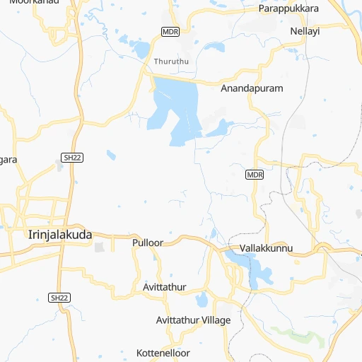
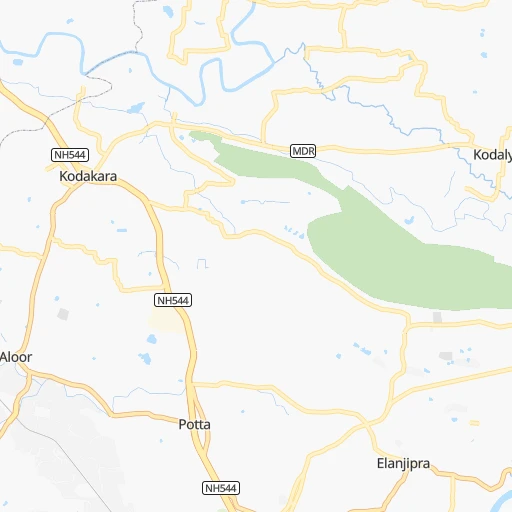
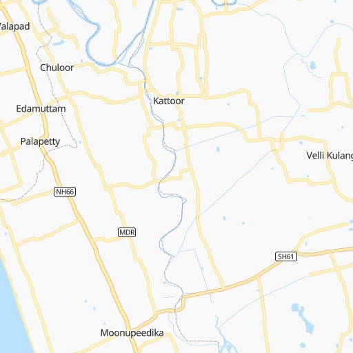
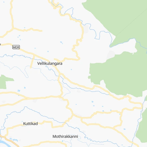
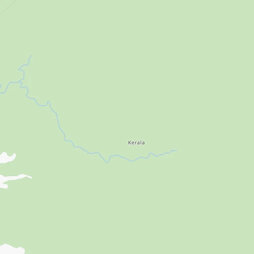
Roadmap (route) to go from Irinjālakuda Railway Station to Erode detailed above, you can also see the course layout on the map.
While doing trip Irinjālakuda Railway Station - Erode by car, the calculated route ends at a distance , or more straight.
Distance and duration of the route between Irinjālakuda Railway Station and Erode
Calculation of distance and route from Erode to Irinjālakuda Railway Station :
193.2225.4 km3h12mn
Continue 0h0mn 142 mTurn right onto Market Road 0h0mn 50 mTurn slight right onto Potta - Moonupeedika Road 0h1mn 1.0 kmKeep left onto Kodakara - Kodungallur Road 0h3mn 3.8 kmTurn sharp left 1h36mn 43.1 kmKeep right 1h58mn 61.9 kmKeep left 0h1mn 428 mKeep left onto Salem - Cochin - Kanniyakumari Road (Old NH47) 0h2mn 2.6 kmContinue 0h1mn 439 mKeep right 0h2mn 1.9 kmKeep left 0h20mn 20.8 kmContinue onto Coimbatore Bypass 0h28mn 38.8 kmTurn sharp left 0h0mn 31 mTurn sharp right 0h0mn 461 mAt roundabout, take exit 2 0h1mn 744 mKeep left 0h1mn 711 mTurn right 0h0mn 108 mTurn left onto Salem - Cochin - Kanniyakumari Road (Old NH47) 0h3mn 3.2 kmTurn left 0h0mn 123 mTurn right 0h15mn 21.9 kmTurn right onto Salem - Cochin - Kanniyakumari Road (Old NH47) 0h0mn 393 mTurn left onto Salem - Cochin - Kanniyakumari Road (Old NH47) 0h0mn 24 mKeep left onto Salem - Cochin - Kanniyakumari Road (Old NH47) 0h3mn 3.3 kmTurn left onto Salem - Cochin - Kanniyakumari Road (Old NH47) 0h0mn 20 mTurn left onto Salem - Cochin - Kanniyakumari Road (Old NH47) 0h0mn 389 mKeep left onto Salem - Cochin - Kanniyakumari Road (Old NH47) 0h0mn 327 mTurn right onto Erode - Perunthurai - Kangayam Road 0h0mn 381 mAt roundabout, take exit 1 0h15mn 16.4 kmKeep right onto Perundurai Road 0h1mn 1.3 kmKeep left onto Brough Road 0h0mn 342 mTurn left 0h0mn 139 mTurn right 0h0mn 86 mArrive at destination 0h0mn 0 m
Travel from Irinjālakuda Railway Station (Tamil Nadu) to a selection of major cities.
Distances from Irinjālakuda Railway Station to biggest cities in Kerala
- Kannur,62,836 inhabitants.198 km
- Malappuram,61,743 inhabitants.81 km
- Kottayam,59,437 inhabitants.88 km
- Nedumangad,58,278 inhabitants.209 km
- Tiruvalla,57,223 inhabitants.111 km
- Tirur,54,934 inhabitants.75 km
- Kasaragod,53,309 inhabitants.279 km
- Changanacheri,51,430 inhabitants.104 km
- Mannarakkat,50,921 inhabitants.75 km
- Ottappalam,50,913 inhabitants.49 km
- Kizhake Chalakudi,49,330 inhabitants.8 km
- Punalur,47,263 inhabitants.163 km
- Cherthala,45,827 inhabitants.73 km
- Mattanur,45,521 inhabitants.193 km
- Shertallai,45,474 inhabitants.73 km
- Varkala,43,276 inhabitants.185 km
- Shoranur,42,694 inhabitants.47 km
- Nadapuram,39,512 inhabitants.165 km
- Aroor,39,214 inhabitants.52 km
- Paravur Tekkumbhagam,38,946 inhabitants.177 km
Other major cities in country :
- Vadodara [09], 1,409,476 inhabitants. 1,371 km
- Gorakhpur [10], 1,324,570 inhabitants. 2,128 km
- Nashik [16], 1,289,497 inhabitants. 1,108 km
- Pimpri [16], 1,284,606 inhabitants. 960 km
- Kalyan [16], 1,262,255 inhabitants. 1,047 km
- Thane [16], 1,261,517 inhabitants. 1,049 km
- Meerut [36], 1,223,184 inhabitants. 2,080 km
- Nowrangapur [21], 1,220,946 inhabitants. 1,197 km
- Faridabad [10], 1,220,229 inhabitants. 2,015 km
- Ghaziabad [36], 1,199,191 inhabitants. 2,044 km
- Dombivli [16], 1,193,000 inhabitants. 1,046 km
- Rajkot [09], 1,177,362 inhabitants. 1,453 km
- Varanasi [36], 1,164,404 inhabitants. 1,812 km
- Amritsar [23], 1,092,450 inhabitants. 2,374 km
- Allahabad [36], 1,073,438 inhabitants. 1,781 km
- Visakhapatnam [02], 1,063,178 inhabitants. 1,107 km
- Teni [25], 1,034,724 inhabitants. 136 km
- Jabalpur [35], 1,030,168 inhabitants. 1,480 km
- Haora [28], 1,027,672 inhabitants. 1,870 km
- Aurangabad [16], 1,016,441 inhabitants. 1,066 km
Route from Erode to major cities (India).
- Distance Erode Mumbai1,005 km
- Distance Erode Delhi1,928 km
- Distance Erode Bengaluru182 km
- Distance Erode Kolkata1,684 km
- Distance Erode Ahmedabad1,410 km
- Distance Erode Hyderabad677 km
- Distance Erode Pune901 km
- Distance Erode Surat1,215 km
- Distance Erode Kanpur1,706 km
- Distance Erode Jaipur1,746 km
- Distance Erode Navi Mumbai995 km
- Distance Erode Lucknow1,757 km
- Distance Erode Nagpur1,101 km
- Distance Erode Indore1,282 km
- Distance Erode Patna1,768 km
- Distance Erode Bhopal1,326 km
- Distance Erode Ludhiana2,187 km
- Distance Erode Agra1,764 km
- Distance Erode Vadodara1,311 km
- Distance Erode Gorakhpur2,027 km
Nearest cities to Irinjālakuda Railway Station :
- Bengaluru, 5,104,047 inhabitants. 326 km
- Tirunelveli, 1,435,844 inhabitants. 236 km
- Teni, 1,034,724 inhabitants. 136 km
- Coimbatore, 959,823 inhabitants. 105 km
- Madurai, 909,908 inhabitants. 207 km
- Mysore, 868,313 inhabitants. 221 km
- Thiruvananthapuram, 784,153 inhabitants. 219 km
- Salem, 778,396 inhabitants. 252 km
- Tiruchirappalli, 775,484 inhabitants. 270 km
- Cochin, 604,696 inhabitants. 45 km
- Kozhikode, 439,922 inhabitants. 115 km
- Mangalore, 417,387 inhabitants. 326 km
- Thoothukudi, 410,760 inhabitants. 268 km
- Tiruppur, 397,521 inhabitants. 146 km
- Kollam, 394,163 inhabitants. 166 km
- Trichur, 325,110 inhabitants. 21 km
- Tanjore, 219,571 inhabitants. 317 km
- Nagercoil, 213,858 inhabitants. 272 km
- Dindigul, 200,797 inhabitants. 186 km
- Vellore, 177,081 inhabitants. 423 km
- Alleppey, 176,783 inhabitants. 95 km
- Udupi, 165,000 inhabitants. 373 km
- Erode, 147,270 inhabitants. 194 km
- Tiruvannamalai, 138,243 inhabitants. 370 km
- Robertsonpet, 135,218 inhabitants. 363 km
- Mandya, 134,845 inhabitants. 252 km
- Palghat, 132,728 inhabitants. 63 km
- Hassan, 128,531 inhabitants. 298 km
- Kolar, 126,441 inhabitants. 371 km
- Rajapalaiyam, 124,168 inhabitants. 171 km
- Chikmagalur, 121,484 inhabitants. 337 km
- Yelahanka, 116,447 inhabitants. 339 km
- Pudukkottai, 112,118 inhabitants. 278 km
- Ambur, 109,873 inhabitants. 381 km
- Ponnani, 105,512 inhabitants. 61 km
- Hosur, 103,724 inhabitants. 316 km
- Ooty, 98,238 inhabitants. 128 km
- Tellicherry, 97,201 inhabitants. 179 km
- Gudiyatham, 93,973 inhabitants. 405 km
- Closepet, 93,528 inhabitants. 287 km
- Karaikkudi, 91,908 inhabitants. 274 km
- Valparai, 90,353 inhabitants. 73 km
- Kovilpatti, 90,296 inhabitants. 217 km
- Vaniyambadi, 90,288 inhabitants. 365 km
- Manjeri, 89,201 inhabitants. 89 km
- Pollachi, 88,214 inhabitants. 87 km
- Neyyattinkara, 88,104 inhabitants. 233 km
- Tiruchengode, 87,123 inhabitants. 211 km
- Paramagudi, 85,695 inhabitants. 268 km
- Aruppukkottai, 85,369 inhabitants. 219 km
Location Irinjālakuda Railway Station (Kerala) :
| Country flag |  |
| Location | Irinjālakuda Railway Station |
| State | Kerala |
| County | Thrissur District |
| Country | India |
| Country code / ISO 2 | IN |
| Latitude | 10.3400300 |
| Longitude | 76.2814300 |
| Altitude | 0 meters |
| Time zone | Asia/Kolkata |
Location Erode (Tamil Nadu) :
| Country flag | |
| Location | Erode |
| State | Tamil Nadu |
| County | Erode |
| Country | India |
| Country code / ISO 2 | IN |
| Latitude | 11.3428000 |
| Longitude | 77.7274100 |
| Altitude | 0 meters |
| Time zone | Asia/Kolkata |


