
How to get from Kandikuppam Railway Station (Tamil Nadu) to Nagapattinam (Tamil Nadu)
Calculate route from Kandikuppam Railway Station (Tamil Nadu, India) to Nagapattinam (Tamil Nadu, India).
The flight distance (as the crow flies) between Kandikuppam Railway Station and Nagapattinam is 258.6 km.
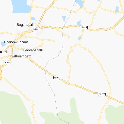
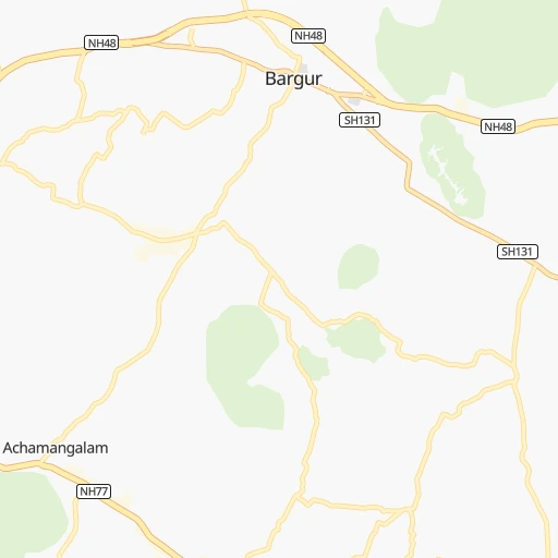
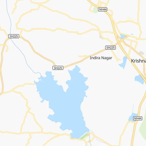
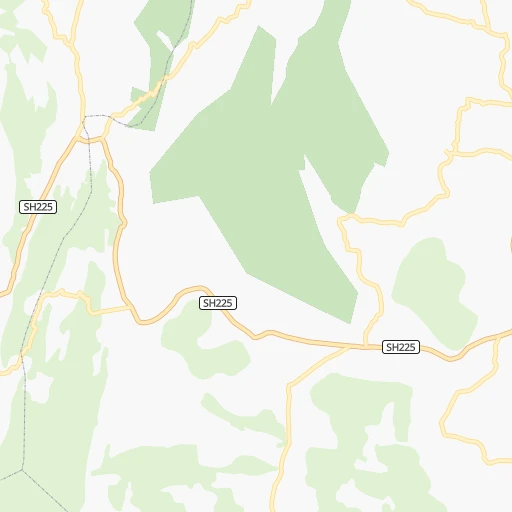
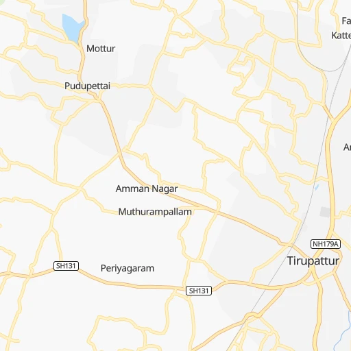
Roadmap (route) to go from Kandikuppam Railway Station to Nagapattinam detailed above, you can also see the course layout on the map.
While doing trip Kandikuppam Railway Station - Nagapattinam by car, the calculated route ends at a distance , or more straight.
Distance and duration of the route between Kandikuppam Railway Station and Nagapattinam
Calculation of distance and route from Nagapattinam to Kandikuppam Railway Station :
258.6325.5 km5h58mn
Continue 0h0mn 9 mTurn sharp left 0h2mn 2.3 kmTurn left 0h8mn 6.5 kmTurn left onto NH77 0h18mn 15.9 kmKeep left 0h2mn 1.8 kmTurn right 0h0mn 349 mKeep left 0h1mn 720 mContinue onto NH77 1h40mn 45.2 kmKeep left onto Pondy - Krishnagiri Road (Old NH66) 0h26mn 35.6 kmAt roundabout, take exit 1 onto Thiruvannamalai Bypass 0h2mn 2.1 kmKeep left onto Thiruvannamalai Bypass 0h0mn 59 mAt roundabout, take exit 2 onto Thiruvannamalai Bypass 0h1mn 1.3 kmTurn left 0h0mn 49 mTurn left 0h26mn 29.1 kmContinue onto Cuddalore - Chittoor Road 0h1mn 1.5 kmContinue onto Cuddalore - Chittoor Road 0h1mn 777 mTurn sharp right onto Pennaiyar Bridge Approach Road 0h1mn 821 mTurn left onto Thirukovilur Railway Feeder Road 0h0mn 496 mContinue onto Cuddalore - Chittoor Road 0h4mn 4.1 kmContinue onto Cuddalore - Thirukoilur - Sankarapuram Road 0h16mn 17.3 kmTurn left onto Virdhachalam - Ulundurpet - Villupuram Road 0h0mn 172 mTurn right onto Cuddalore - Thirukoilur - Sankarapuram Road 0h7mn 7.4 kmTurn left onto Cuddalore - Thirukoilur - Sankarapuram Road 0h0mn 34 mTurn right onto Cuddalore - Thirukoilur - Sankarapuram Road 0h14mn 15.4 kmTurn right onto Manamadurai - Vikravandi Saalai 0h2mn 920 mKeep left onto Vikravandi - Kumbakonam - Thanjavour Road (Old NH45C) 0h1mn 1.2 kmTurn slight left onto Manamadurai - Vikravandi Saalai 0h12mn 11.1 kmTurn sharp left onto Kullanchavady - Kattugudalore Road 0h6mn 5.6 kmTurn right 0h1mn 262 mKeep left 0h1mn 266 mTurn slight right onto Kurinjipadi - Palur Road 0h9mn 9.2 kmTurn left 0h0mn 74 mTurn slight left onto Bhuvanagiri - Kurinjipadi Road 0h15mn 16.4 kmTurn sharp left onto Palayakara Street 0h2mn 1.3 kmContinue onto Big Devangar Street 0h0mn 127 mTurn right onto Villupuram - Pondy - Nagapattinam Road (Old NH45A) 0h0mn 121 mTurn left onto Villupuram - Pondy - Nagapattinam Road (Old NH45A) 0h3mn 3.6 kmTurn slight right onto Chidambaram Bypass 0h7mn 8.5 kmTurn right onto NH32 0h0mn 109 mKeep left onto NH32 0h9mn 10.3 kmKeep left 0h1mn 560 mTurn left onto Villupuram - Pondy - Nagapattinam Road (Old NH45A) 0h3mn 3.8 kmTurn left onto Villupuram - Pondy - Nagapattinam Road (Old NH45A) 0h0mn 146 mTurn right onto Villupuram - Pondy - Nagapattinam Road (Old NH45A) 0h3mn 2.9 kmTurn left onto Villupuram - Pondy - Nagapattinam Road (Old NH45A) 0h0mn 59 mKeep left onto East Coast Road 0h0mn 69 mTurn left onto East Coast Road 0h2mn 1.8 kmTurn right onto East Coast Road 0h0mn 91 mTurn left 0h21mn 24.6 kmTurn right 0h1mn 1.2 kmTurn right 0h0mn 82 mTurn left 0h0mn 222 mTurn left onto Tharangambadi - Manganallur - Aduthurai Road 0h1mn 839 mTurn sharp right onto East Coast Road 0h9mn 10.5 kmContinue onto Bharathiyar Street 0h2mn 1.9 kmTurn left onto Thomas Arul street 0h0mn 193 mTurn right onto Nehru Street 0h0mn 354 mContinue 0h0mn 319 mKeep right 0h0mn 10 mKeep right 0h0mn 83 mTurn slight right onto East Coast Road 0h9mn 10.1 kmAt roundabout, take exit 1 onto Villupuram - Pondy - Nagapattinam Road (Old NH45A) 0h6mn 6.7 kmKeep left 0h1mn 471 mTurn left onto Neela South Street 0h0mn 250 mTurn right 0h0mn 52 mArrive at destination 0h0mn 0 m
Travel from Kandikuppam Railway Station (Tamil Nadu) to a selection of major cities.
Distances from Kandikuppam Railway Station to biggest cities in Tamil Nadu
- Alandur,153,775 inhabitants.213 km
- Erode,147,270 inhabitants.147 km
- Kumbakonam,139,264 inhabitants.212 km
- Tiruvannamalai,138,243 inhabitants.91 km
- Rajapalaiyam,124,168 inhabitants.353 km
- Pudukkottai,112,118 inhabitants.246 km
- Ambur,109,873 inhabitants.53 km
- Hosur,103,724 inhabitants.56 km
- Ooty,98,238 inhabitants.215 km
- Villupuram,97,380 inhabitants.145 km
- Negapatam,94,238 inhabitants.259 km
- Gudiyatham,93,973 inhabitants.77 km
- Karaikkudi,91,908 inhabitants.280 km
- Valparai,90,353 inhabitants.287 km
- Kovilpatti,90,296 inhabitants.377 km
- Vaniyambadi,90,288 inhabitants.38 km
- Pollachi,88,214 inhabitants.252 km
- Tiruchengode,87,123 inhabitants.136 km
- Mayiladuthurai,86,660 inhabitants.217 km
- Paramagudi,85,695 inhabitants.334 km
Other major cities in country :
- Nashik [16], 1,289,497 inhabitants. 960 km
- Pimpri [16], 1,284,606 inhabitants. 831 km
- Kalyan [16], 1,262,255 inhabitants. 929 km
- Thane [16], 1,261,517 inhabitants. 936 km
- Meerut [36], 1,223,184 inhabitants. 1,832 km
- Nowrangapur [21], 1,220,946 inhabitants. 873 km
- Faridabad [10], 1,220,229 inhabitants. 1,770 km
- Ghaziabad [36], 1,199,191 inhabitants. 1,798 km
- Dombivli [16], 1,193,000 inhabitants. 930 km
- Rajkot [09], 1,177,362 inhabitants. 1,347 km
- Varanasi [36], 1,164,404 inhabitants. 1,506 km
- Amritsar [23], 1,092,450 inhabitants. 2,154 km
- Allahabad [36], 1,073,438 inhabitants. 1,484 km
- Visakhapatnam [02], 1,063,178 inhabitants. 778 km
- Jabalpur [35], 1,030,168 inhabitants. 1,196 km
- Haora [28], 1,027,672 inhabitants. 1,541 km
- Aurangabad [16], 1,016,441 inhabitants. 876 km
- Shivaji Nagar [16], 1,000,000 inhabitants. 820 km
- Solapur [16], 997,281 inhabitants. 627 km
- Srinagar [12], 975,857 inhabitants. 2,425 km
Route from Nagapattinam to major cities (India).
- Distance Nagapattinam Mumbai1,189 km
- Distance Nagapattinam Delhi2,010 km
- Distance Nagapattinam Bengaluru347 km
- Distance Nagapattinam Kolkata1,596 km
- Distance Nagapattinam Ahmedabad1,568 km
- Distance Nagapattinam Hyderabad752 km
- Distance Nagapattinam Pune1,077 km
- Distance Nagapattinam Surat1,382 km
- Distance Nagapattinam Kanpur1,749 km
- Distance Nagapattinam Jaipur1,848 km
- Distance Nagapattinam Navi Mumbai1,177 km
- Distance Nagapattinam Lucknow1,793 km
- Distance Nagapattinam Nagpur1,159 km
- Distance Nagapattinam Indore1,397 km
- Distance Nagapattinam Patna1,743 km
- Distance Nagapattinam Bhopal1,414 km
- Distance Nagapattinam Ludhiana2,280 km
- Distance Nagapattinam Agra1,838 km
- Distance Nagapattinam Vadodara1,466 km
- Distance Nagapattinam Gorakhpur2,125 km
Nearest cities to Kandikuppam Railway Station :
- Bengaluru, 5,104,047 inhabitants. 91 km
- Chennai, 4,328,063 inhabitants. 223 km
- Teni, 1,034,724 inhabitants. 295 km
- Coimbatore, 959,823 inhabitants. 224 km
- Madurai, 909,908 inhabitants. 292 km
- Mysore, 868,313 inhabitants. 183 km
- Salem, 778,396 inhabitants. 99 km
- Tiruchirappalli, 775,484 inhabitants. 196 km
- Cochin, 604,696 inhabitants. 365 km
- Kozhikode, 439,922 inhabitants. 310 km
- Davangere, 435,128 inhabitants. 335 km
- Nellore, 404,158 inhabitants. 280 km
- Tiruppur, 397,521 inhabitants. 189 km
- Ambattur, 341,049 inhabitants. 211 km
- Bellary, 336,681 inhabitants. 326 km
- Trichur, 325,110 inhabitants. 320 km
- Shimoga, 319,550 inhabitants. 335 km
- Tumkur, 307,359 inhabitants. 158 km
- Tirupati, 250,821 inhabitants. 172 km
- Avadi, 250,044 inhabitants. 206 km
- Tiruvottiyur, 248,059 inhabitants. 228 km
- Anantapur, 240,442 inhabitants. 250 km
- Puducherry, 227,411 inhabitants. 179 km
- Tanjore, 219,571 inhabitants. 215 km
- Dindigul, 200,797 inhabitants. 244 km
- Hospet, 197,846 inhabitants. 368 km
- Proddatur, 177,797 inhabitants. 248 km
- Vellore, 177,081 inhabitants. 100 km
- Tambaram, 174,787 inhabitants. 203 km
- Ongole, 172,872 inhabitants. 380 km
- Gadag-Betageri, 172,813 inhabitants. 432 km
- Nandyal, 165,337 inhabitants. 328 km
- Bhadravati, 163,903 inhabitants. 317 km
- Gadag, 162,569 inhabitants. 433 km
- Cuddalore, 158,569 inhabitants. 181 km
- Pallavaram, 157,145 inhabitants. 206 km
- Kanchipuram, 155,029 inhabitants. 155 km
- Alandur, 153,775 inhabitants. 213 km
- Erode, 147,270 inhabitants. 147 km
- Kumbakonam, 139,264 inhabitants. 212 km
- Chitradurga, 138,587 inhabitants. 279 km
- Tiruvannamalai, 138,243 inhabitants. 91 km
- Robertsonpet, 135,218 inhabitants. 47 km
- Mandya, 134,845 inhabitants. 153 km
- Hindupur, 133,298 inhabitants. 169 km
- Palghat, 132,728 inhabitants. 266 km
- Hassan, 128,531 inhabitants. 245 km
- Cuddapah, 127,010 inhabitants. 224 km
- Kolar, 126,441 inhabitants. 70 km
- Chikmagalur, 121,484 inhabitants. 288 km
Location Kandikuppam Railway Station (Tamil Nadu) :
| Country flag |  |
| Location | Kandikuppam Railway Station |
| State | Tamil Nadu |
| County | Krishnagiri |
| Country | India |
| Country code / ISO 2 | IN |
| Latitude | 12.5352700 |
| Longitude | 78.3026600 |
| Altitude | 0 meters |
| Time zone | Asia/Kolkata |
Location Nagapattinam (Tamil Nadu) :
| Country flag | |
| Location | Nagapattinam |
| State | Tamil Nadu |
| County | Nagapattinam |
| Country | India |
| Country code / ISO 2 | IN |
| Latitude | 10.7637700 |
| Longitude | 79.8431300 |
| Altitude | 0 meters |
| Time zone | Asia/Kolkata |


