
How to get from Torbat-e Ḩeydarīyeh (Razavi Khorasan) to Borūjerd (Lorestān)
Calculate route from Torbat-e Ḩeydarīyeh (Razavi Khorasan, Iran) to Borūjerd (Lorestān, Iran).
The flight distance (as the crow flies) between Torbat-e Ḩeydarīyeh and Borūjerd is 969.3 km.
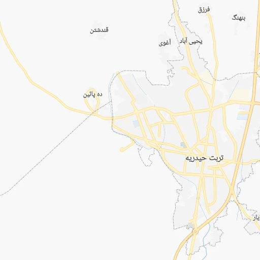
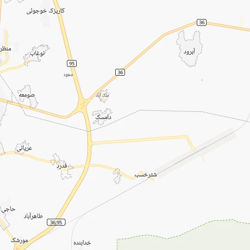
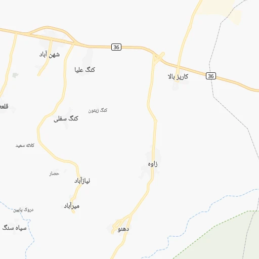
Roadmap (route) to go from Torbat-e Ḩeydarīyeh to Borūjerd detailed above, you can also see the course layout on the map.
While doing trip Torbat-e Ḩeydarīyeh - Borūjerd by car, the calculated route ends at a distance , or more straight.
Distance and duration of the route between Torbat-e Ḩeydarīyeh and Borūjerd
Calculation of distance and route from Borūjerd to Torbat-e Ḩeydarīyeh :
969.31,174.6 km14h11mn
At roundabout, take exit 3 onto شهید مطهری 0h1mn 483 mTurn left onto خیابان آسایش 0h0mn 114 mKeep right onto آسایش 0h0mn 49 mTurn slight right onto خیابان قائم 0h0mn 66 mTurn left onto خیابان پروین 0h2mn 1.3 kmKeep right 0h1mn 899 mAt roundabout, take exit 3 onto خیابان ابریشم 1h15mn 74.9 kmTurn left onto جاده بایگ-ریوش 0h13mn 13.2 kmAt roundabout, take exit 1 onto میدان رضوی 0h3mn 3.7 kmTurn left 1h45mn 45.0 kmTurn right 0h18mn 14.6 kmTurn right onto بردسکن - سبزوار 1h51mn 64.6 kmKeep right 0h0mn 457 mMake a U-turn onto بلوار امام رضا 0h1mn 825 mMake a U-turn onto بلوار امام رضا 0h0mn 193 mKeep right 0h4mn 4.8 kmAt roundabout, take exit 3 onto سبزوار - میامی 5h5mn 453.3 kmAt roundabout, take exit 1 onto بزرگراه امام رضا 1h4mn 98.4 kmKeep left onto آزادراه حرم تا حرم and take 2 toward آزادراه گرمسار- قم 1h23mn 148.7 kmKeep right 0h2mn 694 mTurn left 0h1mn 282 mKeep right 0h2mn 1.2 kmTurn left onto بلوار محتشم کاشانی 0h1mn 551 mContinue onto بلوار محتشم کاشانی 0h1mn 1.3 kmKeep right 0h0mn 188 mAt roundabout, take exit 3 onto میدان رزمندگان اسلام 0h1mn 1.3 kmKeep right onto بلوار عمار یاسر 0h1mn 1.3 kmKeep right onto خیابان معلم غربی 0h0mn 190 mAt roundabout, take exit 1 onto خیابان معلم غربی 0h0mn 358 mTurn left onto شهدا( صفائیه ) 0h1mn 848 mAt roundabout, take exit 2 onto بلوار امین 0h1mn 467 mKeep right 0h0mn 417 mKeep right onto امام رضا - جنوب and drive toward به طرف بلوار امام رضا (ع) 0h0mn 345 mKeep left 2h40mn 135.1 kmAt roundabout, take exit 2 onto میدان بسیج 0h3mn 3.7 kmKeep right onto 56 0h25mn 41.9 kmKeep left onto بزرگراه اراک - بروجرد 1h37mn 52.8 kmAt roundabout, take exit 2 onto بلوار امام خمینی 0h3mn 3.1 kmAt roundabout, take exit 2 onto بلوار امام خمینی 0h2mn 1.8 kmAt roundabout, take exit 5 onto حافظ جنوبی 0h1mn 735 mTurn right 0h0mn 11 mTurn sharp left onto بلوار شهدا 0h0mn 209 mArrive at destination 0h0mn 0 m
Travel from Torbat-e Ḩeydarīyeh (Lorestān) to a selection of major cities.
Distances from Torbat-e Ḩeydarīyeh to biggest cities in Razavi Khorasan
Other major cities in country :
- Zanjan [36], 357,471 inhabitants. 978 km
- Bandar Abbas [11], 352,173 inhabitants. 943 km
- Sanandaj [16], 349,176 inhabitants. 1,110 km
- Qazvin [38], 333,635 inhabitants. 839 km
- Khorramshahr [15], 330,606 inhabitants. 1,163 km
- Khorramabad [23], 329,825 inhabitants. 1,017 km
- Khomeyni Shahr [28], 277,334 inhabitants. 765 km
- Sari [35], 255,396 inhabitants. 573 km
- Borujerd [23], 251,958 inhabitants. 971 km
- Qarchak [26], 251,834 inhabitants. 694 km
- Gorgan [37], 244,937 inhabitants. 464 km
- Najafabad [28], 223,450 inhabitants. 782 km
- Nazarabad [44], 213,388 inhabitants. 783 km
- Bukan [01], 213,331 inhabitants. 1,181 km
- Sirjan [29], 207,645 inhabitants. 728 km
- Babol [35], 202,796 inhabitants. 606 km
- Amol [35], 199,382 inhabitants. 634 km
- Birjand [41], 196,982 inhabitants. 268 km
- Bojnurd [43], 192,041 inhabitants. 298 km
- Varamin [26], 179,603 inhabitants. 688 km
Route from Borūjerd to major cities (Iran).
- Distance Borūjerd Tehran316 km
- Distance Borūjerd Mashhad1,021 km
- Distance Borūjerd Isfahan305 km
- Distance Borūjerd Karaj297 km
- Distance Borūjerd Tabriz516 km
- Distance Borūjerd Shiraz596 km
- Distance Borūjerd Qom212 km
- Distance Borūjerd Ahvaz287 km
- Distance Borūjerd Pasragad Branch101 km
- Distance Borūjerd Kahriz165 km
- Distance Borūjerd Kermanshah162 km
- Distance Borūjerd Rasht384 km
- Distance Borūjerd Kerman882 km
- Distance Borūjerd Orumiyeh525 km
- Distance Borūjerd Zahedan1,246 km
- Distance Borūjerd Hamadan103 km
- Distance Borūjerd Azadshahr101 km
- Distance Borūjerd Arak90 km
- Distance Borūjerd Yazd570 km
- Distance Borūjerd Ardabil486 km
Nearest cities to Torbat-e Ḩeydarīyeh :
- Mashhad, 2,307,177 inhabitants. 120 km
- Sabzevar, 226,183 inhabitants. 174 km
- Neyshabur, 220,929 inhabitants. 111 km
- Birjand, 196,982 inhabitants. 268 km
- Bojnurd, 192,041 inhabitants. 298 km
- Torbat-e Heydariyeh, 125,633 inhabitants. 0 km
- Quchan, 111,752 inhabitants. 214 km
- Kashmar, 96,151 inhabitants. 69 km
- Shirvan, 82,790 inhabitants. 263 km
- Esfarayen, 59,678 inhabitants. 253 km
- Torbat-e Jam, 58,928 inhabitants. 128 km
- Tabas, 49,993 inhabitants. 282 km
- Chenaran, 46,940 inhabitants. 153 km
- Sarakhs, 46,499 inhabitants. 225 km
- Gonabad, 43,465 inhabitants. 114 km
- Qa'en, 40,157 inhabitants. 172 km
- Taybad, 37,513 inhabitants. 154 km
- Bardaskan, 28,233 inhabitants. 114 km
Location Torbat-e Ḩeydarīyeh (Razavi Khorasan) :
| Country flag |  |
| Location | Torbat-e Ḩeydarīyeh |
| State | Razavi Khorasan |
| County | |
| Country | Iran |
| Country code / ISO 2 | IR |
| Latitude | 35.2740100 |
| Longitude | 59.2194900 |
| Altitude | 0 meters |
| Time zone | Asia/Tehran |
Location Borūjerd (Lorestān) :
| Country flag | |
| Location | Borūjerd |
| State | Lorestān |
| County | |
| Country | Iran |
| Country code / ISO 2 | IR |
| Latitude | 33.8973000 |
| Longitude | 48.7516000 |
| Altitude | 0 meters |
| Time zone | Asia/Tehran |