
Home
››
Louisville International Airport
››
Roadmap from Louisville International Airport to Noblesville
How to get from Louisville International (airport) (Kentucky) to Noblesville (Indiana)
Calculate route from Louisville International (airport) (Kentucky, United States) to Noblesville (Indiana, United States).
The flight distance (as the crow flies) between Louisville International (airport) and Noblesville is 209.1 km.
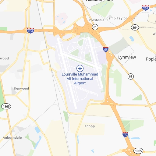
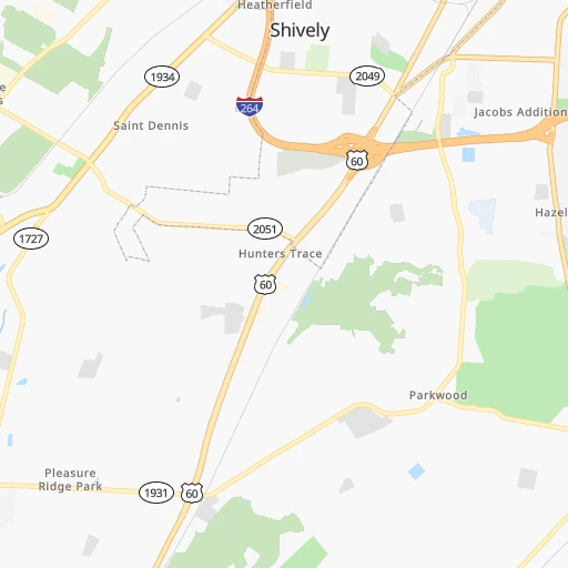
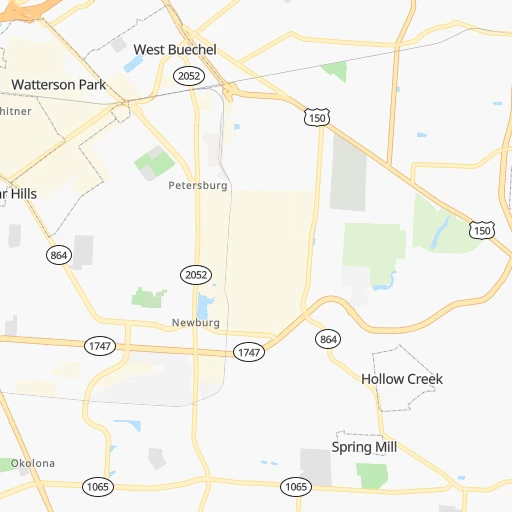
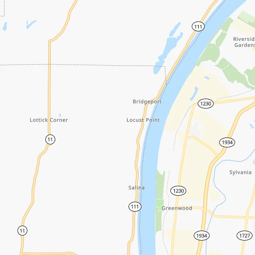
Roadmap (route) to go from Louisville International Airport to Noblesville detailed above, you can also see the course layout on the map.
While doing trip Louisville International (airport) - Noblesville by car, the calculated route ends at a distance , or more straight.
Distance and duration of the route between Louisville International (airport) and Noblesville
Calculation of distance and route from Noblesville to Louisville International (airport) :
209.1226.9 km2h30mn
Continue 0h0mn 115 mTurn right 0h0mn 27 mTurn left onto Crittenden Drive 0h0mn 135 mTurn right onto Strawberry Lane Overpass 0h1mn 481 mTurn left onto Strawberry Lane 0h0mn 414 mTurn left onto Allmond Avenue 0h1mn 939 mTurn right onto East Woodlawn Avenue 0h1mn 574 mTurn left onto Crittenden Drive 0h2mn 1.3 kmTurn left onto Park Boulevard 0h3mn 2.5 kmTurn right onto University Blvd 0h0mn 194 mContinue onto University Boulevard 0h0mn 70 mTurn left toward I 65 North 2h44mn 171.9 kmKeep right and drive toward Southport Road 0h1mn 594 mKeep right 0h0mn 350 mTurn left onto South Emerson Avenue 0h4mn 4.0 kmKeep right toward I 465 East, I 74 East 0h17mn 22.8 kmKeep right onto SR 37 and take SR 37 North, I 69 North toward Fort Wayne 0h6mn 7.4 kmKeep right onto IN-37 and take SR 37 North toward 116th Street 0h1mn 1.1 kmKeep left onto IN-37 toward SR 37 North 0h1mn 1.1 kmKeep left onto IN-37 toward SR 37 North 0h7mn 9.7 kmTurn sharp left onto East Conner Street 0h1mn 1.2 kmArrive at destination 0h0mn 0 m
Travel from Louisville International (airport) (Indiana) to a selection of major cities.
Distances from Louisville International Airport to biggest cities in Kentucky
- Valley Station,22,756 inhabitants.14 km
- Radcliff,22,387 inhabitants.42 km
- Ashland,21,108 inhabitants.273 km
Other major cities in country :
- Charlotte [NC], 827,097 inhabitants. 546 km
- Seattle [WA], 684,451 inhabitants. 3,130 km
- Denver [CO], 682,545 inhabitants. 1,672 km
- El Paso [TX], 681,124 inhabitants. 2,018 km
- Detroit [MI], 677,116 inhabitants. 516 km
- Boston [MA], 667,137 inhabitants. 1,329 km
- Memphis [TN], 655,770 inhabitants. 511 km
- New South Memphis [TN], 641,608 inhabitants. 517 km
- Portland [OR], 632,309 inhabitants. 3,140 km
- Oklahoma City [OK], 631,346 inhabitants. 1,091 km
- Las Vegas [NV], 623,747 inhabitants. 2,606 km
- Baltimore [MD], 621,849 inhabitants. 802 km
- Washington, D.C. [DC], 601,723 inhabitants. 762 km
- Milwaukee [WI], 600,155 inhabitants. 572 km
- South Boston [MA], 571,281 inhabitants. 1,329 km
- Albuquerque [NM], 559,121 inhabitants. 1,896 km
- Tucson [AZ], 531,641 inhabitants. 2,377 km
- Nashville [TN], 530,852 inhabitants. 242 km
- Fresno [CA], 520,052 inhabitants. 2,995 km
- Sacramento [CA], 490,712 inhabitants. 3,101 km
Route from Noblesville to major cities (United States).
- Distance Noblesville New York City1,020 km
- Distance Noblesville Los Angeles2,924 km
- Distance Noblesville Chicago244 km
- Distance Noblesville Brooklyn1,024 km
- Distance Noblesville Houston1,426 km
- Distance Noblesville Queens1,034 km
- Distance Noblesville Philadelphia924 km
- Distance Noblesville Phoenix2,428 km
- Distance Noblesville Manhattan1,023 km
- Distance Noblesville San Antonio1,641 km
- Distance Noblesville San Diego2,892 km
- Distance Noblesville The Bronx1,032 km
- Distance Noblesville Dallas1,259 km
- Distance Noblesville San Jose3,111 km
- Distance Noblesville Austin1,522 km
- Distance Noblesville Jacksonville1,151 km
- Distance Noblesville San Francisco3,142 km
- Distance Noblesville Columbus257 km
- Distance Noblesville Fort Worth1,299 km
- Distance Noblesville Charlotte703 km
Nearest cities to Louisville International (airport) :
- Columbus, 850,106 inhabitants. 309 km
- Indianapolis, 829,718 inhabitants. 181 km
- Nashville, 530,852 inhabitants. 242 km
- Lexington-Fayette, 314,488 inhabitants. 113 km
- Cincinnati, 296,943 inhabitants. 150 km
- Fort Wayne, 260,326 inhabitants. 333 km
- Louisville, 243,639 inhabitants. 9 km
- Lexington, 225,366 inhabitants. 112 km
- Knoxville, 185,291 inhabitants. 295 km
- Clarksville, 149,176 inhabitants. 233 km
- Dayton, 140,599 inhabitants. 221 km
- Murfreesboro, 126,118 inhabitants. 266 km
- Evansville, 119,943 inhabitants. 161 km
- Carmel, 88,713 inhabitants. 203 km
- Champaign, 86,096 inhabitants. 306 km
- Bloomington, 84,067 inhabitants. 130 km
- Fishers, 76,794 inhabitants. 200 km
- Franklin, 72,639 inhabitants. 270 km
- Lafayette, 71,111 inhabitants. 268 km
- Muncie, 70,087 inhabitants. 227 km
- Bowling Green, 63,616 inhabitants. 146 km
- Hamilton, 62,407 inhabitants. 170 km
- Terre Haute, 60,825 inhabitants. 204 km
- Springfield, 59,680 inhabitants. 256 km
- Noblesville, 59,093 inhabitants. 209 km
- Owensboro, 59,042 inhabitants. 129 km
- Kokomo, 57,995 inhabitants. 260 km
- Hendersonville, 56,018 inhabitants. 222 km
- Greenwood, 55,586 inhabitants. 163 km
- Kettering, 55,525 inhabitants. 216 km
- Anderson, 55,305 inhabitants. 215 km
- Middletown, 48,760 inhabitants. 189 km
- Lawrence, 47,809 inhabitants. 187 km
- Jeffersonville, 46,960 inhabitants. 11 km
- Columbus, 46,690 inhabitants. 115 km
- Smyrna, 46,607 inhabitants. 254 km
- Beavercreek, 46,277 inhabitants. 224 km
- West Lafayette, 45,550 inhabitants. 270 km
- Dublin, 45,098 inhabitants. 312 km
- Fairfield, 42,767 inhabitants. 166 km
- Urbana, 42,311 inhabitants. 303 km
- Brentwood, 41,763 inhabitants. 256 km
- Findlay, 41,149 inhabitants. 366 km
- Covington, 40,997 inhabitants. 147 km
- Grove City, 39,388 inhabitants. 297 km
- Westerville, 38,384 inhabitants. 325 km
- Huber Heights, 38,176 inhabitants. 232 km
- Delaware, 37,995 inhabitants. 330 km
- Lima, 37,873 inhabitants. 318 km
- Reynoldsburg, 37,158 inhabitants. 321 km
Location Louisville International (airport) (Kentucky) :
| Country flag |  |
| Location | Louisville International (airport) |
| State | Kentucky |
| County | Jefferson County |
| Country | United States |
| Country code / ISO 2 | US |
| Latitude | 38.1755600 |
| Longitude | -85.7368200 |
| Altitude | 0 meters |
| Time zone | America/Kentucky/Louisville |
Location Noblesville (Indiana) :
| Country flag | |
| Location | Noblesville |
| State | Indiana |
| County | Hamilton County |
| Country | United States |
| Country code / ISO 2 | US |
| Latitude | 40.0455900 |
| Longitude | -86.0086000 |
| Altitude | 233 meters |
| Time zone | America/Indiana/Indianapolis |


